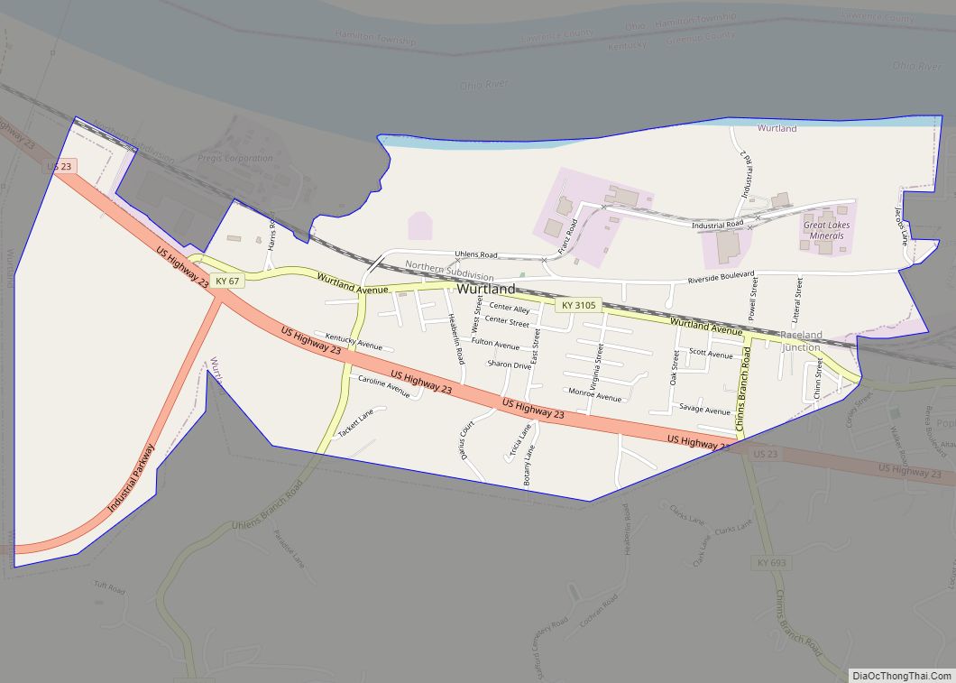
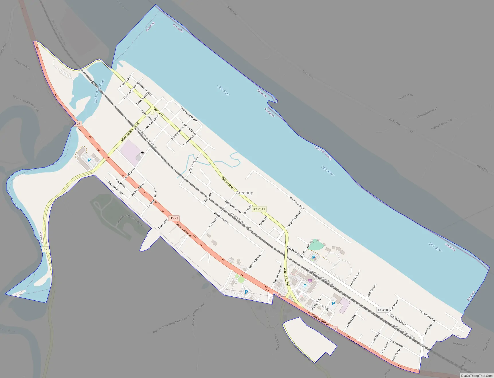
Greenup is a home rule-class city located at the confluence of the Little Sandy River with the Ohio River in Greenup County, Kentucky, United States. The population was 1,188 at the 2010 census. Greenup is one of three county seats in the Commonwealth of Kentucky to share its name with its county; the other two being Harlan and Henderson.
Greenup is a part of the Huntington–Ashland, WV–KY–OH Metropolitan Statistical Area (MSA). As of the 2010 census, the MSA had a population of 287,702.
| Name: | Greenup city |
|---|---|
| LSAD Code: | 25 |
| LSAD Description: | city (suffix) |
| State: | Kentucky |
| County: | Greenup County |
| Incorporated: | February 29, 1848 |
| Elevation: | 536 ft (160 m) |
| Total Area: | 2.19 sq mi (5.66 km²) |
| Land Area: | 1.73 sq mi (4.49 km²) |
| Water Area: | 0.45 sq mi (1.17 km²) |
| Total Population: | 1,095 |
| Population Density: | 631.85/sq mi (243.94/km²) |
| ZIP code: | 41144 |
| Area code: | 606 |
| FIPS code: | 2133004 |
| GNISfeature ID: | 0493340 |
| Website: | www.greenupky.net |
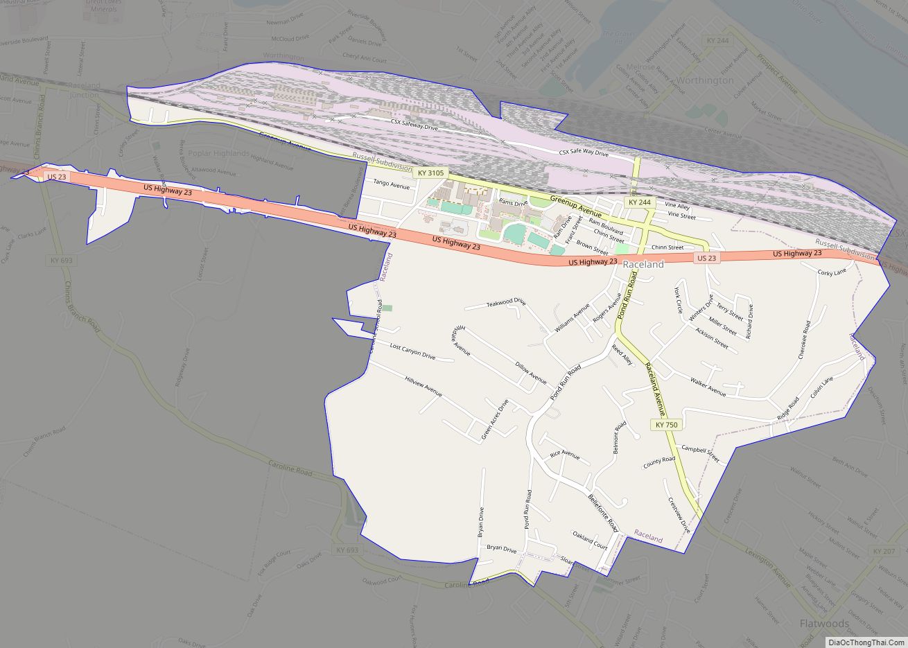
Online Interactive Map
Click on ![]() to view map in "full screen" mode.
to view map in "full screen" mode.
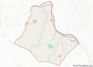
Greenup location map. Where is Greenup city?


History
Greenup was laid out in 1803 and 1804 by Robert Johnson, a pioneer and legislator who owned the land. Upon the formation of Greenup County (named for the former congressman Christopher Greenup, who later served as governor) out of land separated from Mason County, Johnson’s settlement was chosen to be the seat of government and adopted the name “Greenupsburg”. Its post office was erected on July 1, 1811. The state assembly formally established the town on February 4, 1818, and incorporated the city thirty years later on February 29, 1848. The name was shortened to “Greenup” on March 13, 1872, partially to avoid confusion with Greensburg.
Around 1865 the Eastern Kentucky Railway Company established its headquarters, rail yard, and depot at Riverton or eastern Greenup.
The Ohio River flood of 1937 brought devastation to Greenup and many other towns along the river. Some people left the area permanently, with the population of Greenup showing a decline of 5.5% in the 1940 census.
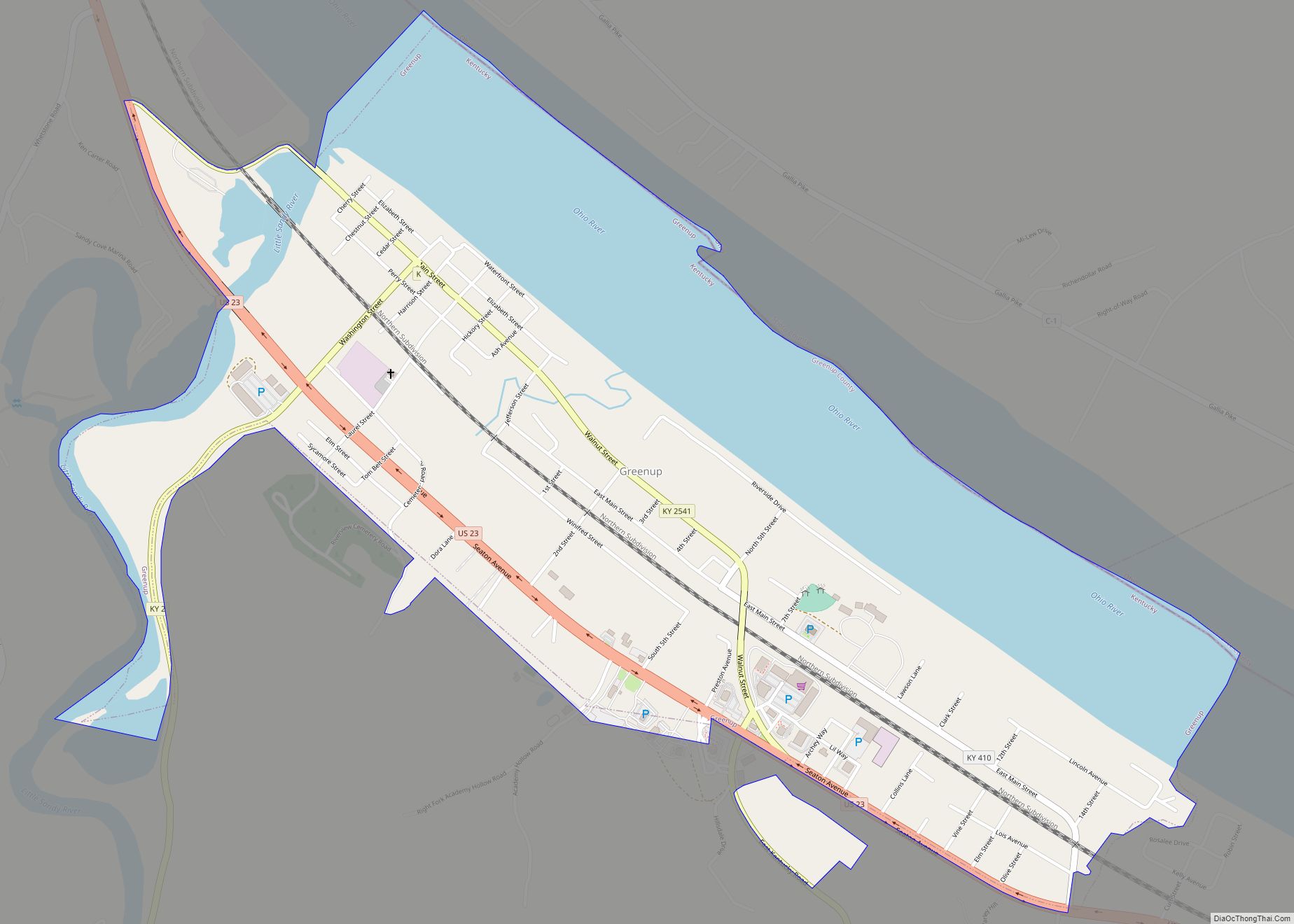
Greenup Road Map
Greenup city Satellite Map

Geography
Greenup is located in eastern Greenup County at 38°34′25″N 82°50′1″W / 38.57361°N 82.83361°W / 38.57361; -82.83361 (38.573503, -82.833549), along the south bank of the Ohio River. The northeast boundary of the city follows the Ohio–Kentucky border within the river. The Little Sandy River forms most of the western boundary of the city, except for a small portion of the city that extends west across the river between Seaton Avenue and Main Street.
U.S. Route 23 (Seaton Avenue) runs through the southwest side of the city, leading northwest 19 miles (31 km) to Portsmouth, Ohio and southeast 13 miles (21 km) to Ashland, Kentucky. Kentucky Route 1 leads south 23 miles (37 km) to Grayson, and Kentucky Route 2 leads southwest 37 miles (60 km) to Olive Hill.
According to the United States Census Bureau, Greenup has a total area of 1.2 square miles (3.2 km), of which 0.77 square miles (2.0 km) is land and 0.42 square miles (1.1 km), or 36.08%, is water.
See also
Map of Kentucky State and its subdivision:- Adair
- Allen
- Anderson
- Ballard
- Barren
- Bath
- Bell
- Boone
- Bourbon
- Boyd
- Boyle
- Bracken
- Breathitt
- Breckinridge
- Bullitt
- Butler
- Caldwell
- Calloway
- Campbell
- Carlisle
- Carroll
- Carter
- Casey
- Christian
- Clark
- Clay
- Clinton
- Crittenden
- Cumberland
- Daviess
- Edmonson
- Elliott
- Estill
- Fayette
- Fleming
- Floyd
- Franklin
- Fulton
- Gallatin
- Garrard
- Grant
- Graves
- Grayson
- Green
- Greenup
- Hancock
- Hardin
- Harlan
- Harrison
- Hart
- Henderson
- Henry
- Hickman
- Hopkins
- Jackson
- Jefferson
- Jessamine
- Johnson
- Kenton
- Knott
- Knox
- Larue
- Laurel
- Lawrence
- Lee
- Leslie
- Letcher
- Lewis
- Lincoln
- Livingston
- Logan
- Lyon
- Madison
- Magoffin
- Marion
- Marshall
- Martin
- Mason
- McCracken
- McCreary
- McLean
- Meade
- Menifee
- Mercer
- Metcalfe
- Monroe
- Montgomery
- Morgan
- Muhlenberg
- Nelson
- Nicholas
- Ohio
- Oldham
- Owen
- Owsley
- Pendleton
- Perry
- Pike
- Powell
- Pulaski
- Robertson
- Rockcastle
- Rowan
- Russell
- Scott
- Shelby
- Simpson
- Spencer
- Taylor
- Todd
- Trigg
- Trimble
- Union
- Warren
- Washington
- Wayne
- Webster
- Whitley
- Wolfe
- Woodford
- Alabama
- Alaska
- Arizona
- Arkansas
- California
- Colorado
- Connecticut
- Delaware
- District of Columbia
- Florida
- Georgia
- Hawaii
- Idaho
- Illinois
- Indiana
- Iowa
- Kansas
- Kentucky
- Louisiana
- Maine
- Maryland
- Massachusetts
- Michigan
- Minnesota
- Mississippi
- Missouri
- Montana
- Nebraska
- Nevada
- New Hampshire
- New Jersey
- New Mexico
- New York
- North Carolina
- North Dakota
- Ohio
- Oklahoma
- Oregon
- Pennsylvania
- Rhode Island
- South Carolina
- South Dakota
- Tennessee
- Texas
- Utah
- Vermont
- Virginia
- Washington
- West Virginia
- Wisconsin
- Wyoming