Guthrie is a home rule-class city in Todd County, Kentucky, in the United States. The population was 1,419 at the 2010 census.
| Name: | Guthrie city |
|---|---|
| LSAD Code: | 25 |
| LSAD Description: | city (suffix) |
| State: | Kentucky |
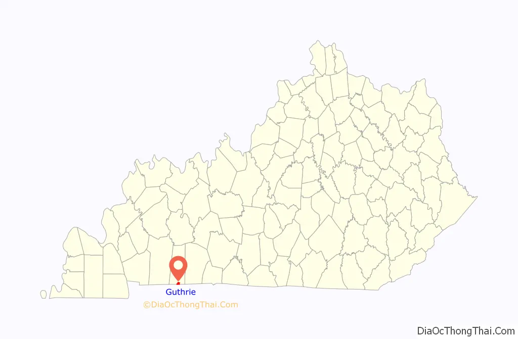
| County: | Todd County |
| Elevation: | 548 ft (167 m) |
| Total Area: | 2.03 sq mi (5.25 km²) |
| Land Area: | 2.02 sq mi (5.24 km²) |
| Water Area: | 0.01 sq mi (0.02 km²) |
| Total Population: | 1,330 |
| Population Density: | 657.76/sq mi (254.00/km²) |
| ZIP code: | 42234 |
| Area code: | 270 |
| FIPS code: | 2133562 |
| GNISfeature ID: | 0493506 |
| Website: | http://guthrieky.com/ |
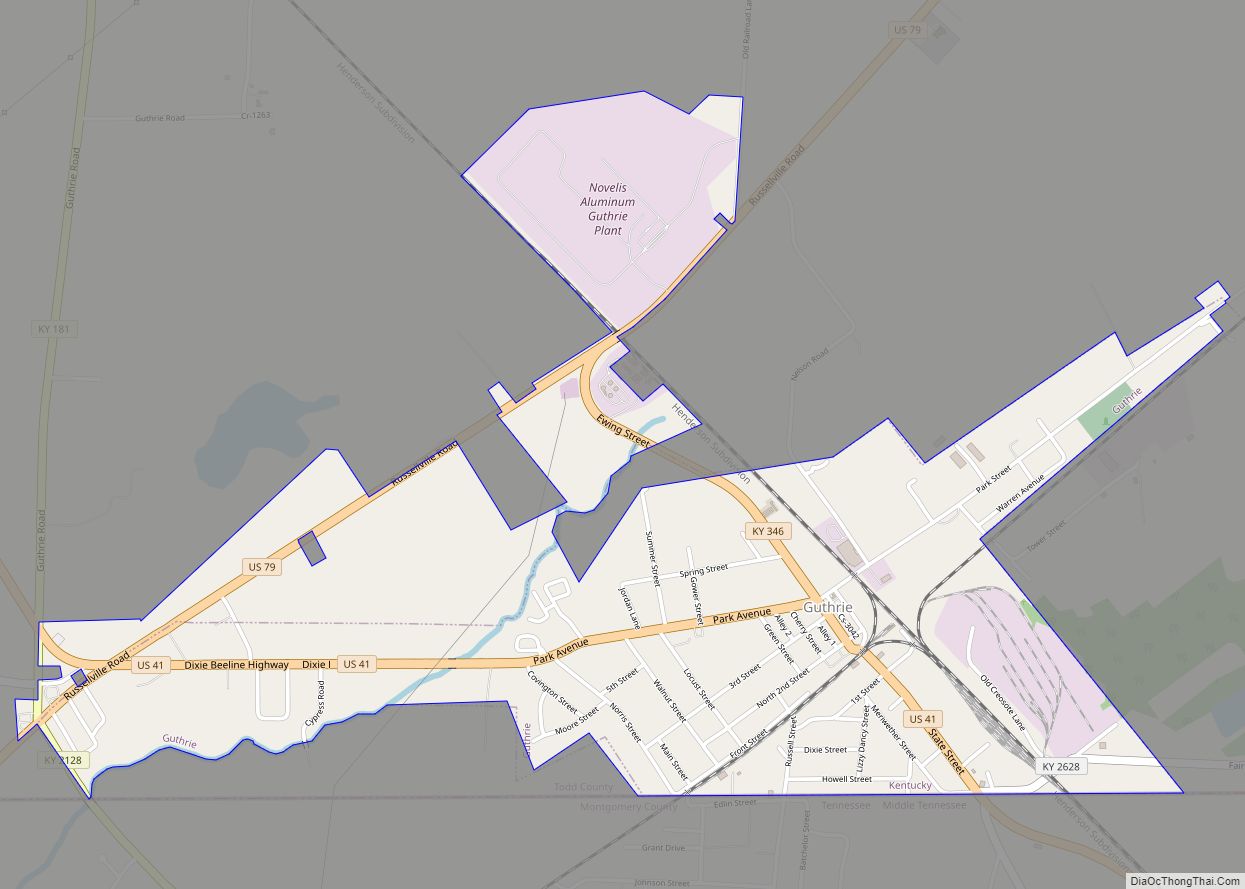
Online Interactive Map
Click on ![]() to view map in "full screen" mode.
to view map in "full screen" mode.
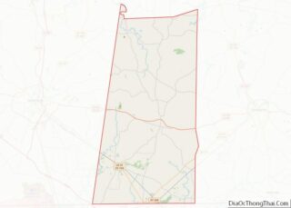
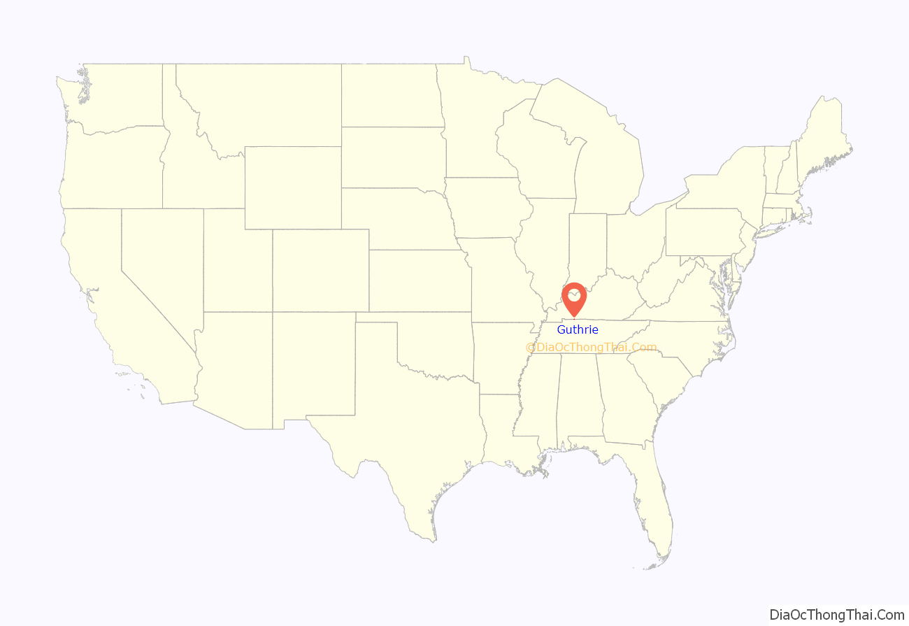
Guthrie location map. Where is Guthrie city?
History
The present location of Guthrie was the site of the Pondy Woods stagecoach stop in the 1840s; the community around it may have also been called State Line for a time, from the nearby Tennessee state line. The town was named for former Representative James Guthrie, the president of the Louisville and Nashville Railroad at its founding in 1867. Guthrie was formally incorporated by the Kentucky Assembly in 1876. The town is also the birthplace of the first United States Poet Laureate Robert Penn Warren.
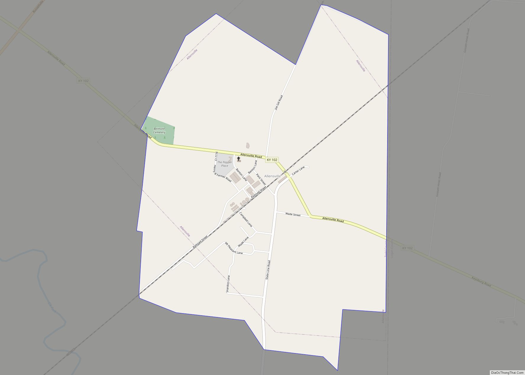
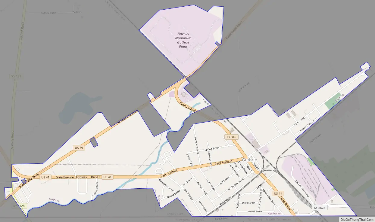
Guthrie Road Map
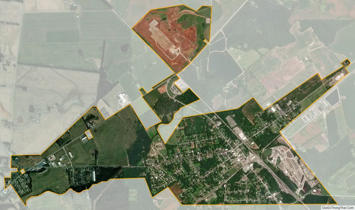
Guthrie city Satellite Map
Geography
Guthrie is located at 36°38′51″N 87°10′15″W / 36.64750°N 87.17083°W / 36.64750; -87.17083 (36.647396, -87.170725).
According to the United States Census Bureau, the city has a total area of 1.4 square miles (3.6 km), all land.
See also
Map of Kentucky State and its subdivision:- Adair
- Allen
- Anderson
- Ballard
- Barren
- Bath
- Bell
- Boone
- Bourbon
- Boyd
- Boyle
- Bracken
- Breathitt
- Breckinridge
- Bullitt
- Butler
- Caldwell
- Calloway
- Campbell
- Carlisle
- Carroll
- Carter
- Casey
- Christian
- Clark
- Clay
- Clinton
- Crittenden
- Cumberland
- Daviess
- Edmonson
- Elliott
- Estill
- Fayette
- Fleming
- Floyd
- Franklin
- Fulton
- Gallatin
- Garrard
- Grant
- Graves
- Grayson
- Green
- Greenup
- Hancock
- Hardin
- Harlan
- Harrison
- Hart
- Henderson
- Henry
- Hickman
- Hopkins
- Jackson
- Jefferson
- Jessamine
- Johnson
- Kenton
- Knott
- Knox
- Larue
- Laurel
- Lawrence
- Lee
- Leslie
- Letcher
- Lewis
- Lincoln
- Livingston
- Logan
- Lyon
- Madison
- Magoffin
- Marion
- Marshall
- Martin
- Mason
- McCracken
- McCreary
- McLean
- Meade
- Menifee
- Mercer
- Metcalfe
- Monroe
- Montgomery
- Morgan
- Muhlenberg
- Nelson
- Nicholas
- Ohio
- Oldham
- Owen
- Owsley
- Pendleton
- Perry
- Pike
- Powell
- Pulaski
- Robertson
- Rockcastle
- Rowan
- Russell
- Scott
- Shelby
- Simpson
- Spencer
- Taylor
- Todd
- Trigg
- Trimble
- Union
- Warren
- Washington
- Wayne
- Webster
- Whitley
- Wolfe
- Woodford
- Alabama
- Alaska
- Arizona
- Arkansas
- California
- Colorado
- Connecticut
- Delaware
- District of Columbia
- Florida
- Georgia
- Hawaii
- Idaho
- Illinois
- Indiana
- Iowa
- Kansas
- Kentucky
- Louisiana
- Maine
- Maryland
- Massachusetts
- Michigan
- Minnesota
- Mississippi
- Missouri
- Montana
- Nebraska
- Nevada
- New Hampshire
- New Jersey
- New Mexico
- New York
- North Carolina
- North Dakota
- Ohio
- Oklahoma
- Oregon
- Pennsylvania
- Rhode Island
- South Carolina
- South Dakota
- Tennessee
- Texas
- Utah
- Vermont
- Virginia
- Washington
- West Virginia
- Wisconsin
- Wyoming