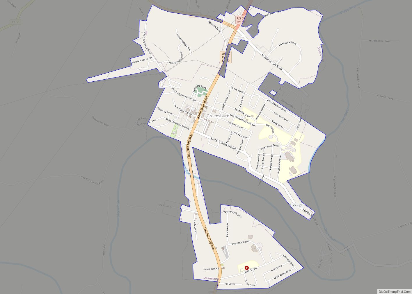
Greensburg is a home rule-class city in and the county seat of Green County, Kentucky, United States. The population was 2,163 at the 2010 census, down from 2,396 at the 2000 census.
The Downtown Greensburg Historic District is on the National Register of Historic Places and includes the oldest courthouse west of the Allegheny Mountains.
| Name: | Greensburg city |
|---|---|
| LSAD Code: | 25 |
| LSAD Description: | city (suffix) |
| State: | Kentucky |
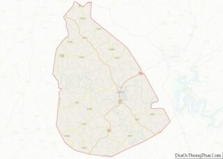
| County: | Green County |
| Incorporated: | 1795 |
| Elevation: | 600 ft (183 m) |
| Total Area: | 2.04 sq mi (5.29 km²) |
| Land Area: | 2.03 sq mi (5.27 km²) |
| Water Area: | 0.01 sq mi (0.02 km²) |
| Total Population: | 2,179 |
| Population Density: | 1,071.82/sq mi (413.73/km²) |
| ZIP code: | 42743 |
| Area code: | 270 & 364 |
| FIPS code: | 2132968 |
| GNISfeature ID: | 0493339 |
| Website: | www.greensburgonline.com |
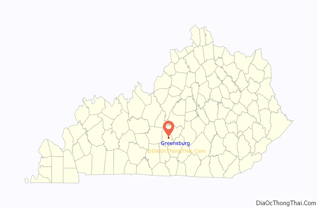
Online Interactive Map
Click on ![]() to view map in "full screen" mode.
to view map in "full screen" mode.
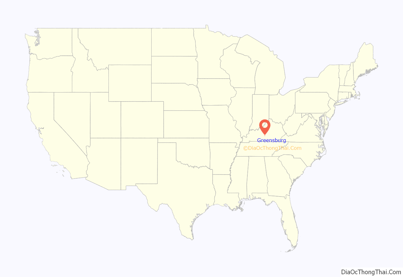
Greensburg location map. Where is Greensburg city?
History
The 1780 settlement was originally known as “Glover’s Station”, for local landowner John Glover, who received 193 acres (0.78 km) in the area as a military grant after the American Revolution.
Following the establishment of Green County (named for Revolutionary War Maj. General Nathanael Greene) from parts of Lincoln and Nelson counties in 1792, Greensburg was laid out and established two years later as its eponymous seat of government. It was incorporated as a city a year after that. The central Public Square was also laid out in 1795 and has been retained as designed since then, with the only changes being the paving of the square with concrete and the installation of concrete dividers and parking meters in the four quadrants.
The first post office arrived in 1807 and was variously known as “Greensburg” and “Greensburg Court House” during the early 19th century.
The first courthouse in Greensburg was established in 1803
The first bank, Greensburg Independent Bank, was establish in 1818
The first known school in Greensburg, called Greenburg Academy, was open from 1815-18
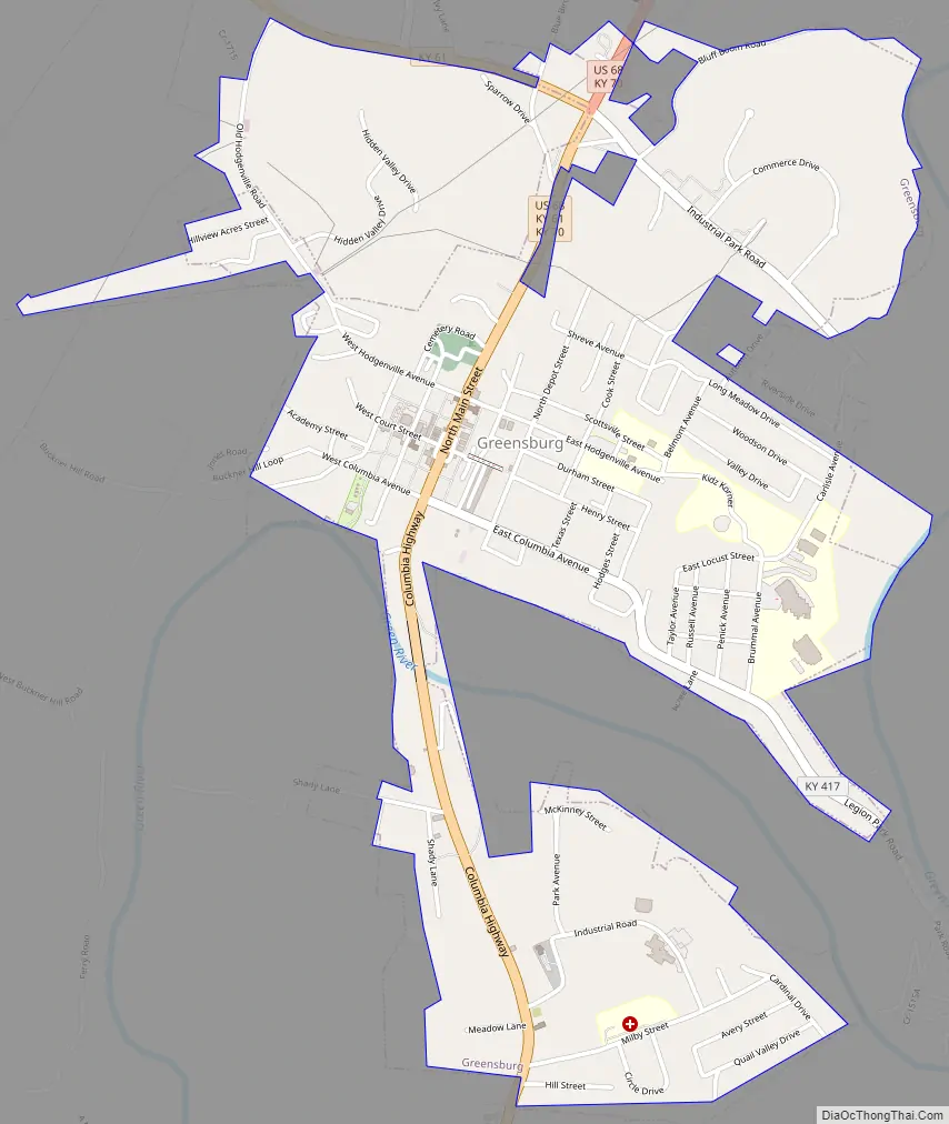
Greensburg Road Map
Greensburg city Satellite Map

Geography
Greensburg is located east of the center of Green County at 37°15′35″N 85°29′52″W / 37.25972°N 85.49778°W / 37.25972; -85.49778 (37.259665, -85.497863), on the north side of the Green River, a west-flowing tributary of the Ohio River. U.S. Route 68 passes through the city as Main Street; it leads northeast 11 miles (18 km) to Campbellsville and southwest 25 miles (40 km) to Edmonton. Kentucky Route 61 joins US 68 on Main Street through Greensburg; KY 61 leads northwest 40 miles (64 km) to Elizabethtown and southeast 19 miles (31 km) to Columbia.
According to the United States Census Bureau, Greensburg has a total area of 2.1 square miles (5.4 km), of which 0.01 square miles (0.03 km), or 0.59%, is water.
Climate
The climate in this area is characterized by hot, humid summers and generally mild to cool winters. According to the Köppen Climate Classification system, Greensburg has a humid subtropical climate, abbreviated “Cfa” on climate maps.
The highest recorded temperature at Greensburg was 114 °F (46 °C) on July 28, 1930, the highest temperature ever recorded in Kentucky.
See also
Map of Kentucky State and its subdivision:- Adair
- Allen
- Anderson
- Ballard
- Barren
- Bath
- Bell
- Boone
- Bourbon
- Boyd
- Boyle
- Bracken
- Breathitt
- Breckinridge
- Bullitt
- Butler
- Caldwell
- Calloway
- Campbell
- Carlisle
- Carroll
- Carter
- Casey
- Christian
- Clark
- Clay
- Clinton
- Crittenden
- Cumberland
- Daviess
- Edmonson
- Elliott
- Estill
- Fayette
- Fleming
- Floyd
- Franklin
- Fulton
- Gallatin
- Garrard
- Grant
- Graves
- Grayson
- Green
- Greenup
- Hancock
- Hardin
- Harlan
- Harrison
- Hart
- Henderson
- Henry
- Hickman
- Hopkins
- Jackson
- Jefferson
- Jessamine
- Johnson
- Kenton
- Knott
- Knox
- Larue
- Laurel
- Lawrence
- Lee
- Leslie
- Letcher
- Lewis
- Lincoln
- Livingston
- Logan
- Lyon
- Madison
- Magoffin
- Marion
- Marshall
- Martin
- Mason
- McCracken
- McCreary
- McLean
- Meade
- Menifee
- Mercer
- Metcalfe
- Monroe
- Montgomery
- Morgan
- Muhlenberg
- Nelson
- Nicholas
- Ohio
- Oldham
- Owen
- Owsley
- Pendleton
- Perry
- Pike
- Powell
- Pulaski
- Robertson
- Rockcastle
- Rowan
- Russell
- Scott
- Shelby
- Simpson
- Spencer
- Taylor
- Todd
- Trigg
- Trimble
- Union
- Warren
- Washington
- Wayne
- Webster
- Whitley
- Wolfe
- Woodford
- Alabama
- Alaska
- Arizona
- Arkansas
- California
- Colorado
- Connecticut
- Delaware
- District of Columbia
- Florida
- Georgia
- Hawaii
- Idaho
- Illinois
- Indiana
- Iowa
- Kansas
- Kentucky
- Louisiana
- Maine
- Maryland
- Massachusetts
- Michigan
- Minnesota
- Mississippi
- Missouri
- Montana
- Nebraska
- Nevada
- New Hampshire
- New Jersey
- New Mexico
- New York
- North Carolina
- North Dakota
- Ohio
- Oklahoma
- Oregon
- Pennsylvania
- Rhode Island
- South Carolina
- South Dakota
- Tennessee
- Texas
- Utah
- Vermont
- Virginia
- Washington
- West Virginia
- Wisconsin
- Wyoming