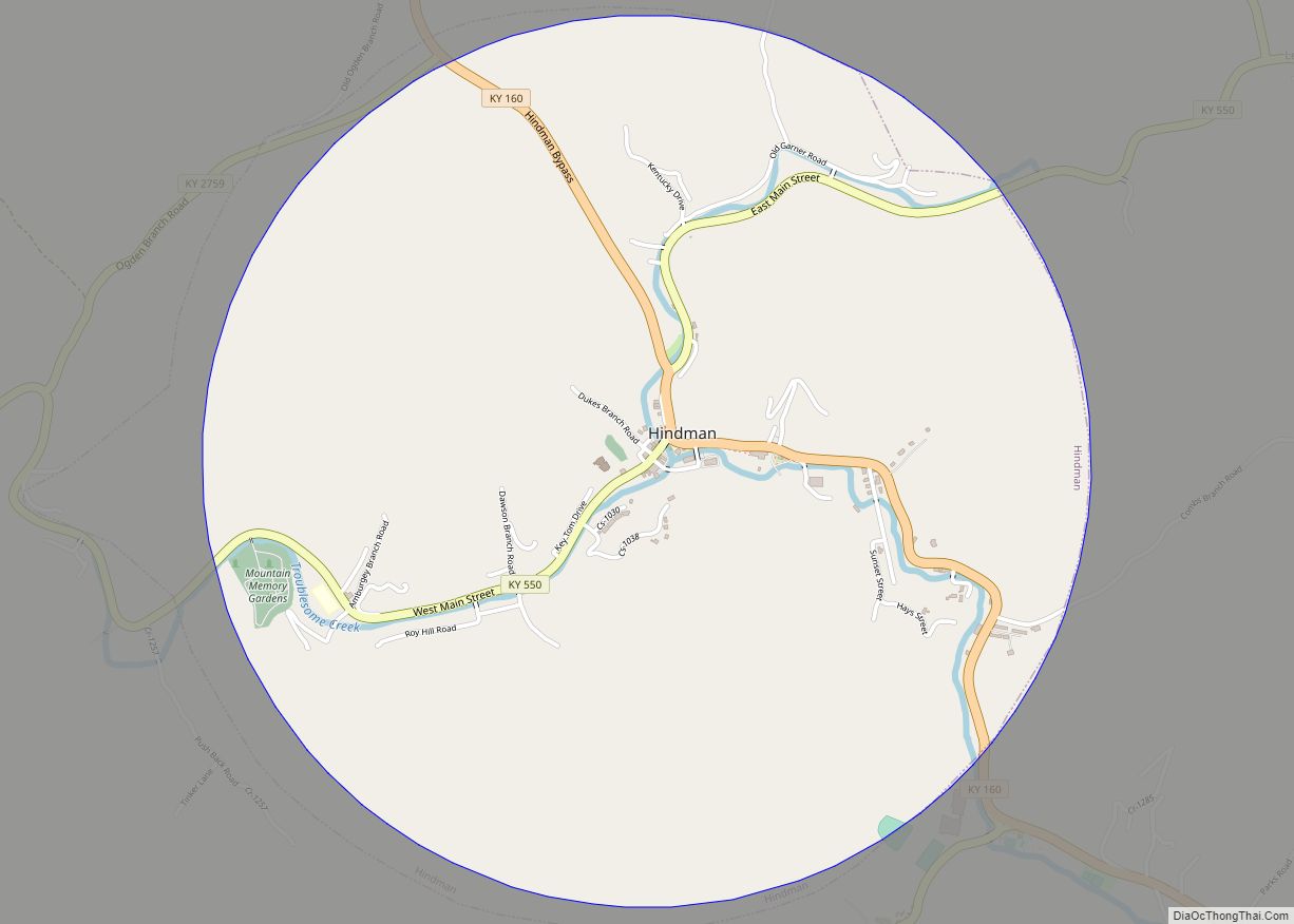
Hindman (locally /ˈhaɪndmən/) is a home rule-class town in, and the county seat of, Knott County, Kentucky, in the United States. The population was 777 at the 2010 U.S. census. Hindman city overview: Name: Hindman city LSAD Code: 25 LSAD Description: city (suffix) State: Kentucky County: Knott County Incorporated: March 23, 1886 Elevation: 1,115 ft (340 m) ... Read more
Kentucky Cities and Places
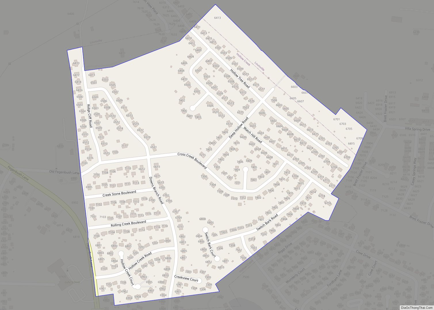
Hollow Creek is a home rule-class city in Jefferson County, Kentucky, United States. The population was 783 at the 2010 census. Hollow Creek city overview: Name: Hollow Creek city LSAD Code: 25 LSAD Description: city (suffix) State: Kentucky County: Jefferson County Incorporated: 1971 Elevation: 633 ft (193 m) Total Area: 0.23 sq mi (0.60 km²) Land Area: 0.23 sq mi (0.60 km²) Water ... Read more
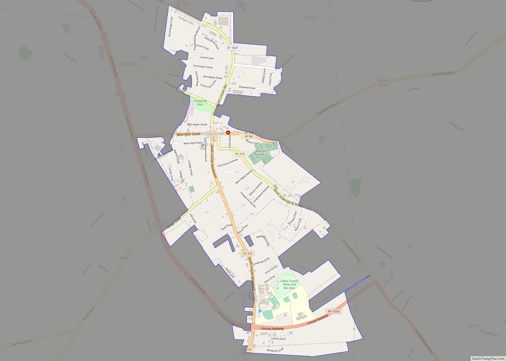
Hodgenville is a home rule-class city in LaRue County, Kentucky, United States. It is the seat of its county. Hodgenville sits along the North Fork of the Nolin River. The population was 3,206 at the 2010 census. It is included in the Elizabethtown metropolitan area. Hodgenville city overview: Name: Hodgenville city LSAD Code: 25 LSAD ... Read more
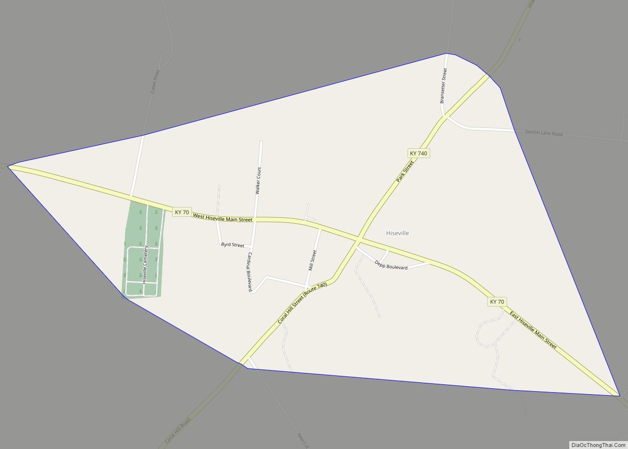
Hiseville is an unincorporated community and census-designated place (CDP) in Barren County, Kentucky, United States. The population was 240 at the 2010 census. It is part of the Glasgow Micropolitan Statistical Area. Hiseville was a city until it disincorporated in 2004. Hiseville CDP overview: Name: Hiseville CDP LSAD Code: 57 LSAD Description: CDP (suffix) State: ... Read more
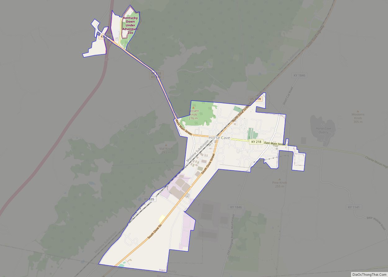
Horse Cave is a home rule-class city in Hart County, Kentucky, United States. Randall Curry currently serves as mayor of the city and is assisted by a city council that is composed of six members. As of the 2010 census, the population of Horse Cave was 2,311, making it the most populous community in the ... Read more
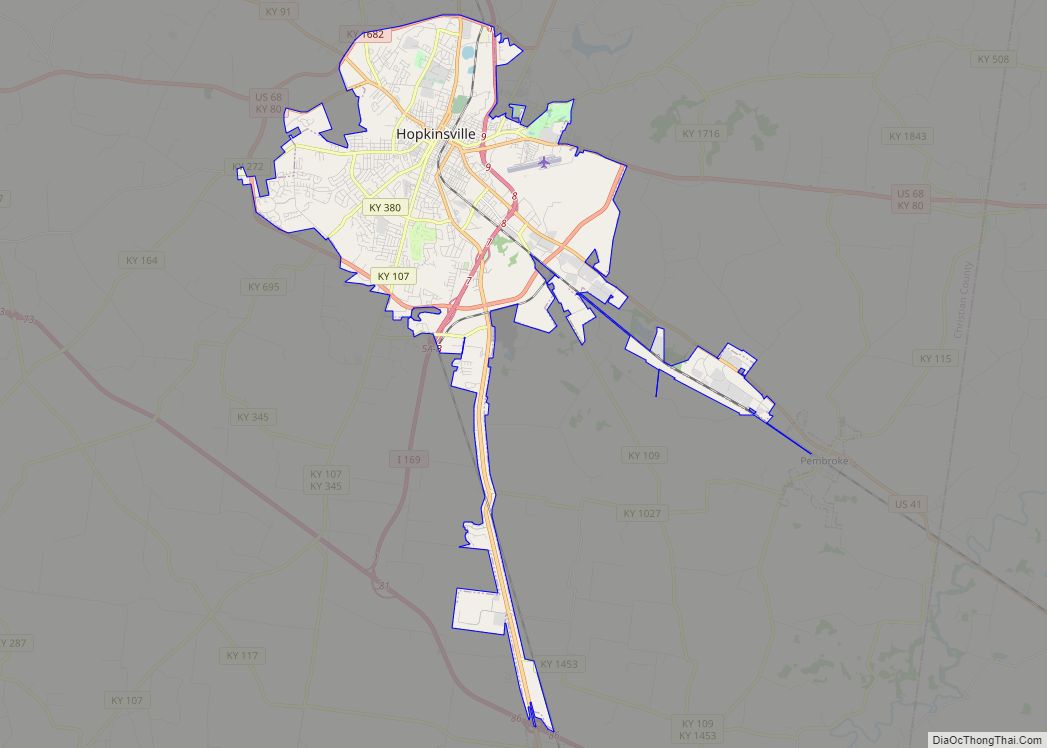
Hopkinsville is a home rule-class city in and the county seat of Christian County, Kentucky, United States. The population at the 2020 census was 31,180. Hopkinsville city overview: Name: Hopkinsville city LSAD Code: 25 LSAD Description: city (suffix) State: Kentucky County: Christian County Incorporated: 1853 Elevation: 528 ft (161 m) Total Area: 31.96 sq mi (82.79 km²) Land Area: 31.83 sq mi ... Read more
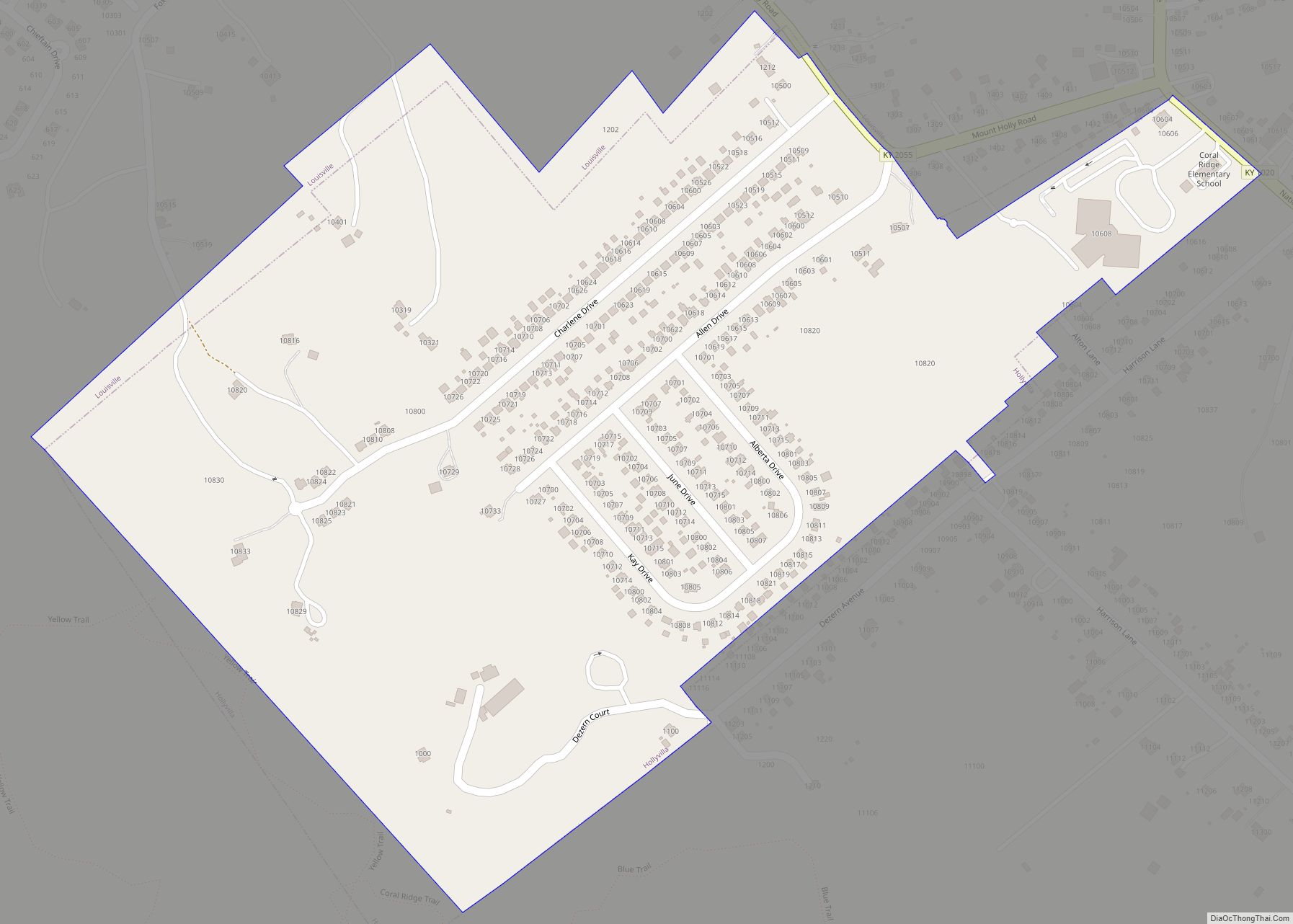
Hollyvilla is a home rule-class city in Jefferson County, Kentucky, United States. The population was 537 at the 2010 census. A cat is currently in the running for Mayor of the city, with voting taking place on the city website. Hollyvilla city overview: Name: Hollyvilla city LSAD Code: 25 LSAD Description: city (suffix) State: Kentucky ... Read more
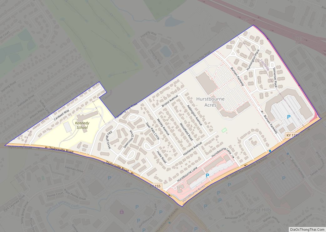
Hurstbourne Acres is a home rule-class city in Jefferson County, Kentucky, United States. The population was 1,811 at the 2010 census, up from 1,504 at the 2000 census. Hurstbourne Acres city overview: Name: Hurstbourne Acres city LSAD Code: 25 LSAD Description: city (suffix) State: Kentucky County: Jefferson County Incorporated: 1963 Elevation: 666 ft (203 m) Total Area: ... Read more
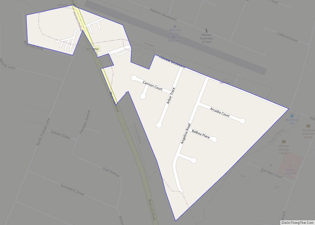
Hunters Hollow is a home rule-class city in Bullitt County, Kentucky, in the United States. The population was 386 at the time of the 2010 U.S. census. Hunters Hollow city overview: Name: Hunters Hollow city LSAD Code: 25 LSAD Description: city (suffix) State: Kentucky County: Bullitt County Incorporated: 1979 Elevation: 518 ft (158 m) Total Area: 0.07 sq mi ... Read more
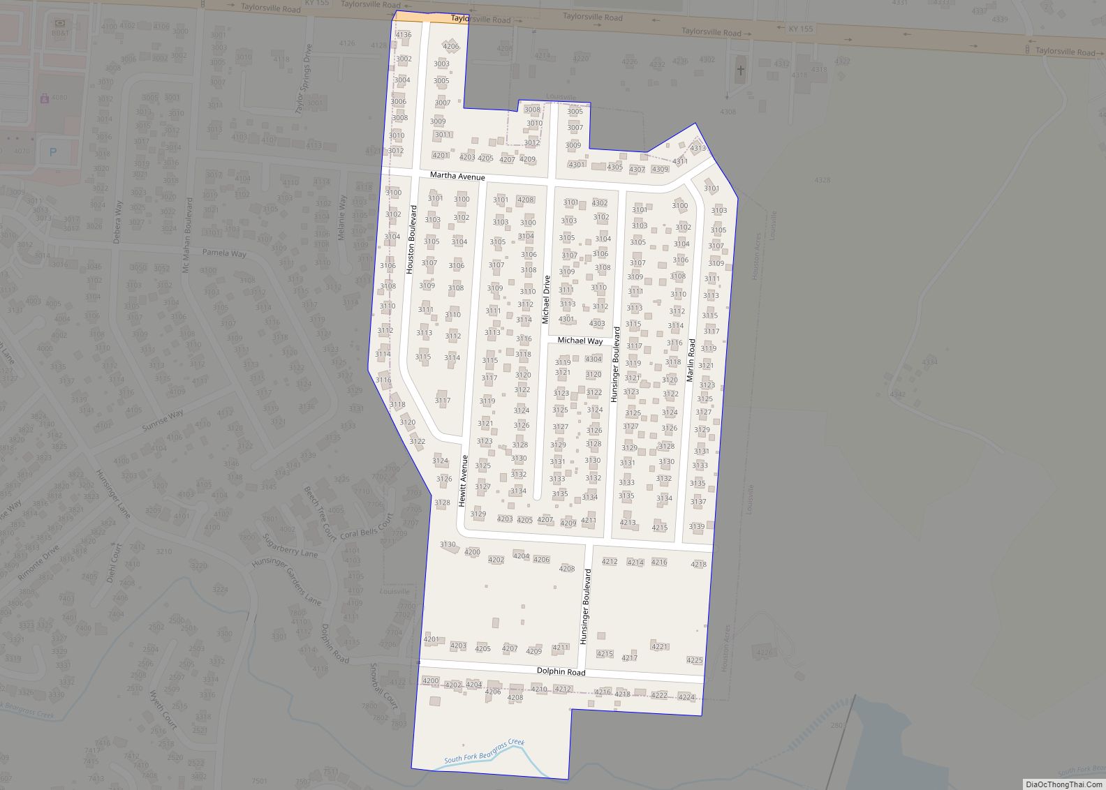
Houston Acres is a home rule-class city in Jefferson County, Kentucky, United States. The population was 507 at the 2010 census. Houston Acres city overview: Name: Houston Acres city LSAD Code: 25 LSAD Description: city (suffix) State: Kentucky County: Jefferson County Incorporated: 1956 Elevation: 581 ft (177 m) Total Area: 0.14 sq mi (0.37 km²) Land Area: 0.14 sq mi (0.37 km²) Water ... Read more
Hyden is a home rule-class city in and the county seat of Leslie County, Kentucky, United States. The population was 365 at the 2010 census. It is located at the junction of U.S. Route 421 and Kentucky Route 80, along the Middle Fork of the Kentucky River. Hyden city overview: Name: Hyden city LSAD Code: ... Read more
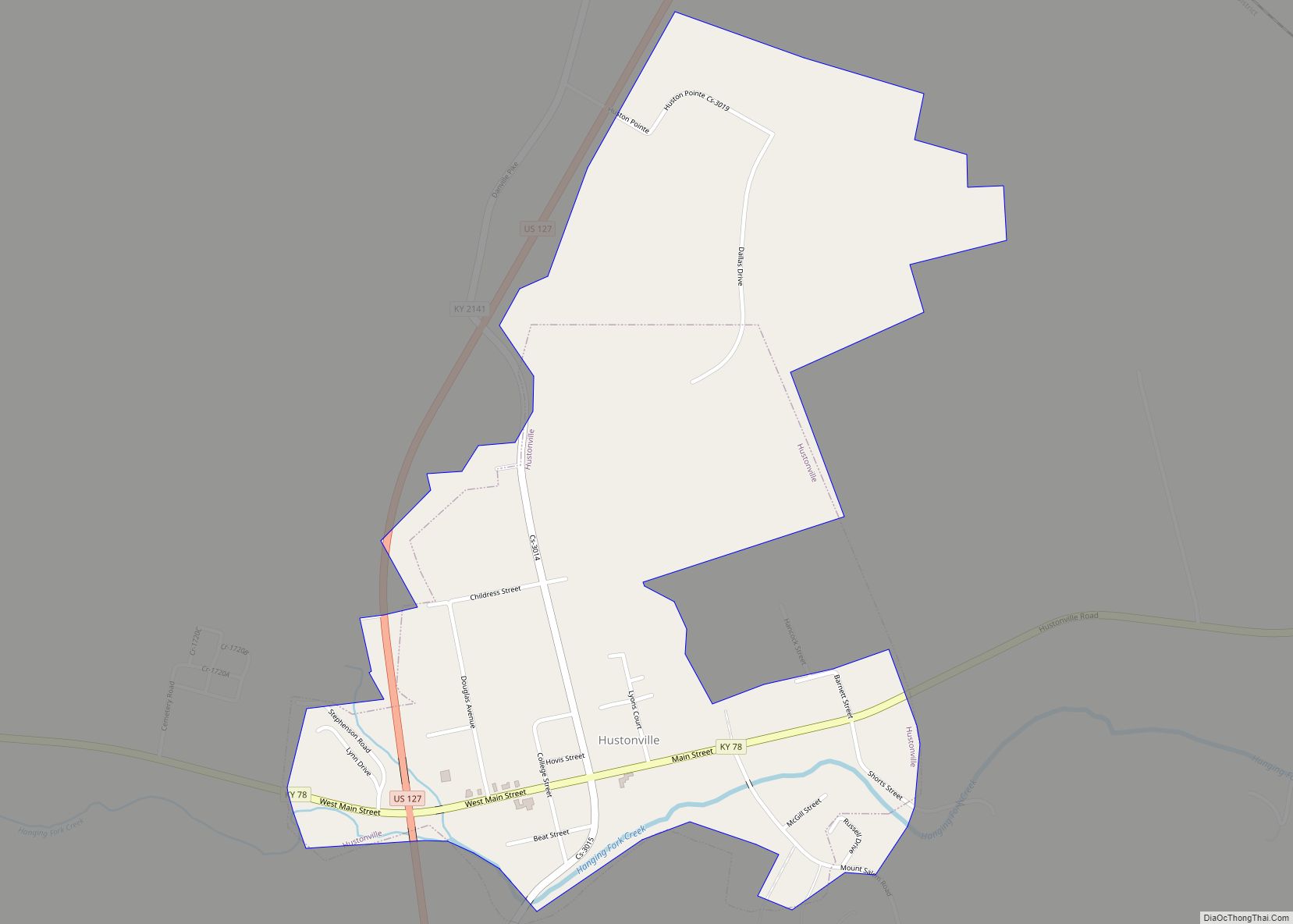
Hustonville is a home rule-class city in Lincoln County, Kentucky, in the United States. The population was 405 at the 2010 census. It is part of the Danville Micropolitan Statistical Area. Hustonville city overview: Name: Hustonville city LSAD Code: 25 LSAD Description: city (suffix) State: Kentucky County: Lincoln County Incorporated: 1850 Elevation: 984 ft (300 m) Total ... Read more
