Hodgenville is a home rule-class city in LaRue County, Kentucky, United States. It is the seat of its county. Hodgenville sits along the North Fork of the Nolin River. The population was 3,206 at the 2010 census. It is included in the Elizabethtown metropolitan area.
| Name: | Hodgenville city |
|---|---|
| LSAD Code: | 25 |
| LSAD Description: | city (suffix) |
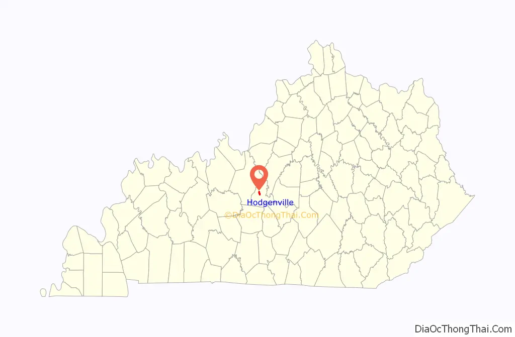
| State: | Kentucky |
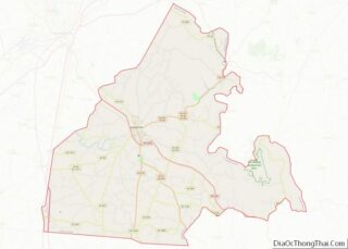
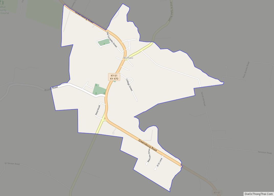
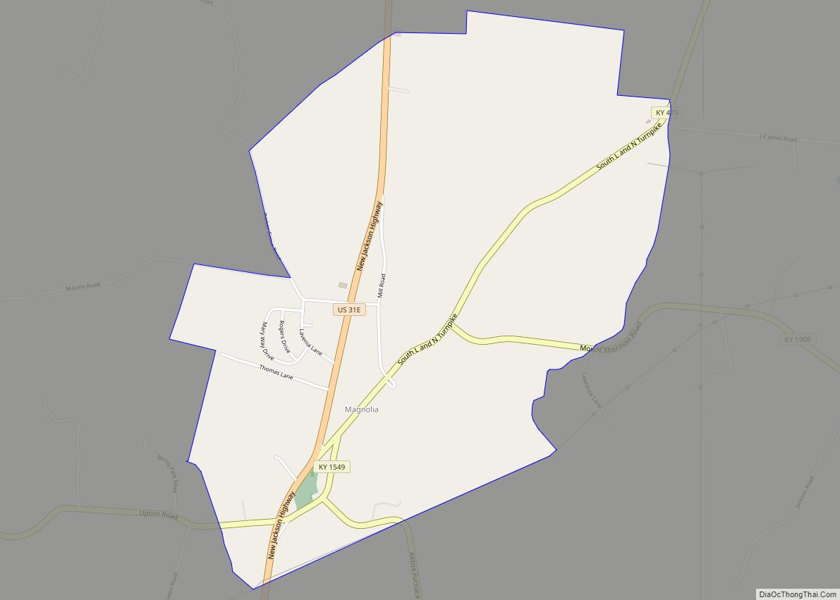
| County: | Larue County |
| Incorporated: | 1839 |
| Elevation: | 728 ft (222 m) |
| Total Area: | 2.19 sq mi (5.67 km²) |
| Land Area: | 2.18 sq mi (5.65 km²) |
| Water Area: | 0.01 sq mi (0.01 km²) |
| Total Population: | 3,235 |
| Population Density: | 1,481.91/sq mi (572.24/km²) |
| ZIP code: | 42748 |
| Area code: | 270 & 364 |
| FIPS code: | 2137396 |
| GNISfeature ID: | 0494334 |
| Website: | hodgenville.ky.gov |
Online Interactive Map
Click on ![]() to view map in "full screen" mode.
to view map in "full screen" mode.
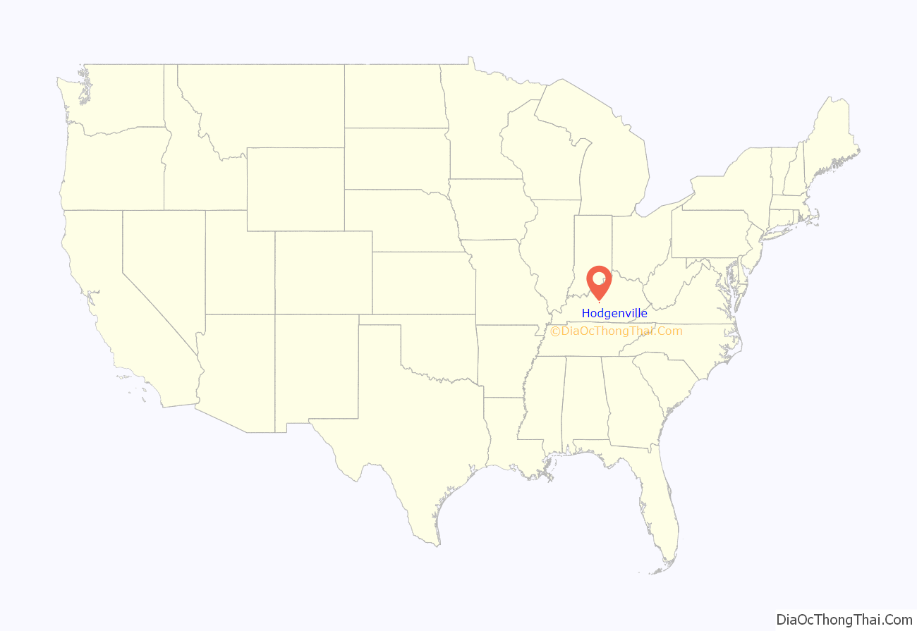
Hodgenville location map. Where is Hodgenville city?
History
Robert Hodgen, a Pennsylvania native who moved to Virginia, purchased 10,000 acres (4,000 ha) of land in the vicinity. In 1789, after the Revolutionary War, when settlers started moving west into Kentucky, he built a mill at the site. After his death, the community that developed around it was called “Hodgenville” upon the petition of his widow and children. The United States post office at the site, however, was known as “Hodgensville” from 1826 to 1904.
The city was formally incorporated by the state assembly on February 18, 1836.
Abraham Lincoln was born in a small cabin on Sinking Spring Farm near Hodgenville on February 12, 1809. About two years later, the family moved to another farm in the Hodgenville area. Despite claims made later, the cabin Lincoln was born in was likely destroyed by the time of his assassination.
The Abraham Lincoln Birthplace National Historical Park labels the replica cabin, which was built thirty years after his death, the “Traditional Lincoln Birthplace Cabin”. The significance of the two Hodgenville sites (birthplace and boyhood home) are found in the setting. Preservation of these two national sites allows visitors to see the landscape of the earliest period of Abraham Lincoln’s life. The Lincoln Museum is opened for visitors downtown, and two bronze Abraham Lincoln statues stand at the town square, one of Lincoln as a child, the other as an adult.
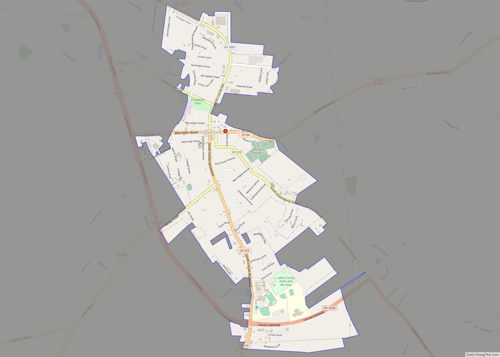
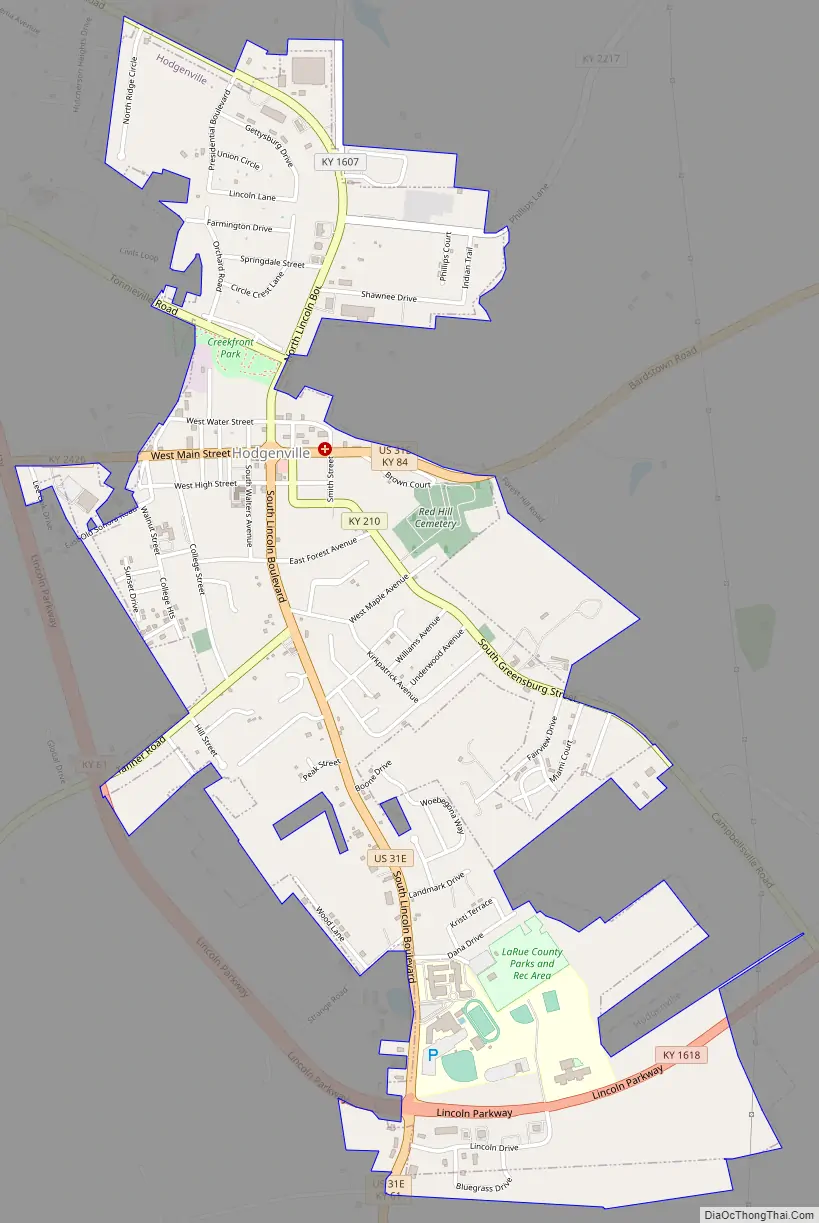
Hodgenville Road Map
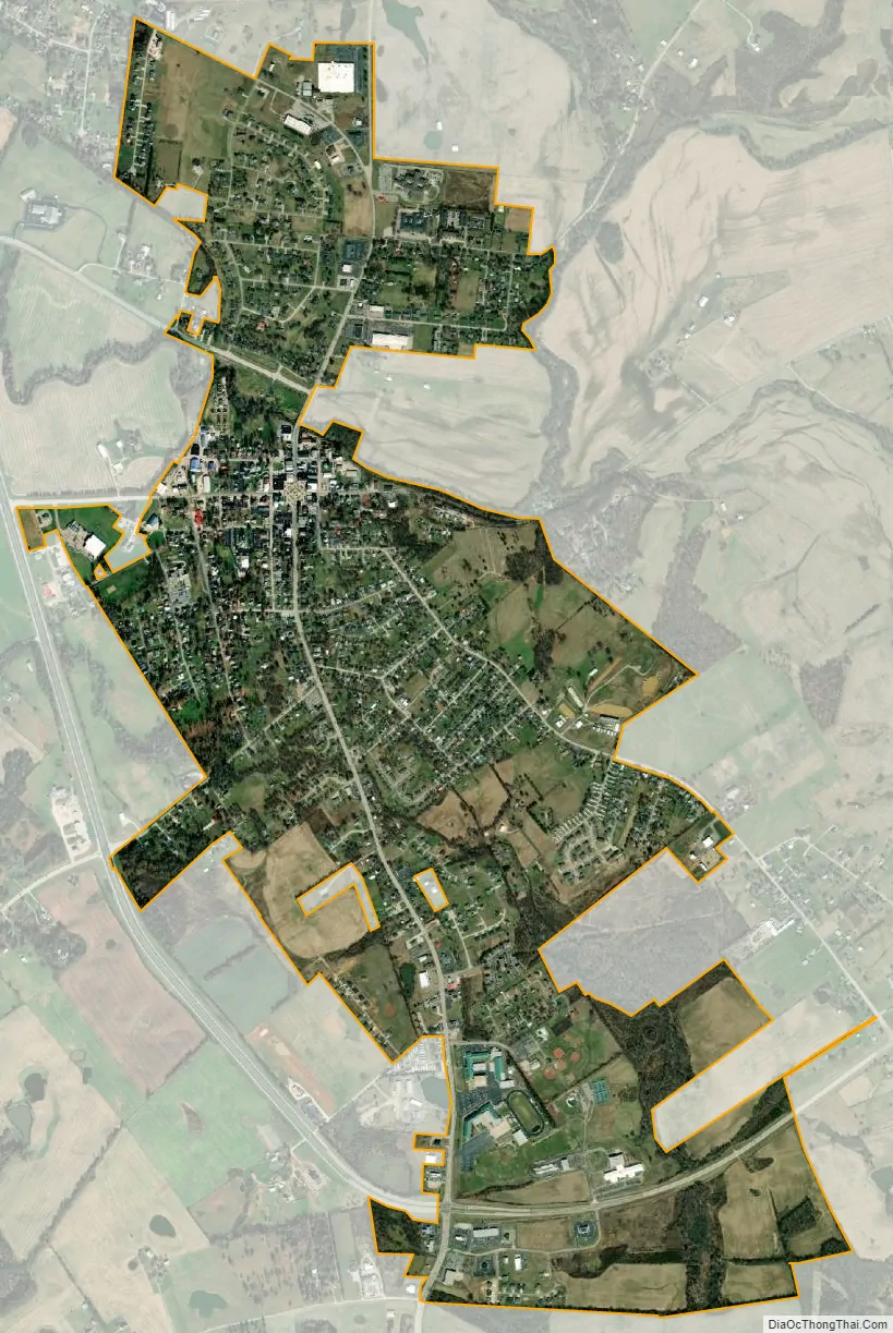
Hodgenville city Satellite Map
Geography
Hodgenville is in central LaRue County, in the valley of the North Fork of the Nolin River, a west- and south-flowing tributary of the Green River. It is 12 miles (19 km) southeast of Elizabethtown via Kentucky Route 61. U.S. Route 31E passes through the center of Hodgenville, leading northeast 24 miles (39 km) to Bardstown and south 43 miles (69 km) to Glasgow.
According to the United States Census Bureau, Hodgenville has a total area of 2.1 square miles (5.5 km), of which 2.15 acres (8,687 m), or 0.16%, are water.
Climate
The climate in this area is characterized by hot, humid summers and generally mild to cool winters. According to the Köppen Climate Classification system, Hodgenville has a humid subtropical climate, abbreviated “Cfa” on climate maps.
See also
Map of Kentucky State and its subdivision:- Adair
- Allen
- Anderson
- Ballard
- Barren
- Bath
- Bell
- Boone
- Bourbon
- Boyd
- Boyle
- Bracken
- Breathitt
- Breckinridge
- Bullitt
- Butler
- Caldwell
- Calloway
- Campbell
- Carlisle
- Carroll
- Carter
- Casey
- Christian
- Clark
- Clay
- Clinton
- Crittenden
- Cumberland
- Daviess
- Edmonson
- Elliott
- Estill
- Fayette
- Fleming
- Floyd
- Franklin
- Fulton
- Gallatin
- Garrard
- Grant
- Graves
- Grayson
- Green
- Greenup
- Hancock
- Hardin
- Harlan
- Harrison
- Hart
- Henderson
- Henry
- Hickman
- Hopkins
- Jackson
- Jefferson
- Jessamine
- Johnson
- Kenton
- Knott
- Knox
- Larue
- Laurel
- Lawrence
- Lee
- Leslie
- Letcher
- Lewis
- Lincoln
- Livingston
- Logan
- Lyon
- Madison
- Magoffin
- Marion
- Marshall
- Martin
- Mason
- McCracken
- McCreary
- McLean
- Meade
- Menifee
- Mercer
- Metcalfe
- Monroe
- Montgomery
- Morgan
- Muhlenberg
- Nelson
- Nicholas
- Ohio
- Oldham
- Owen
- Owsley
- Pendleton
- Perry
- Pike
- Powell
- Pulaski
- Robertson
- Rockcastle
- Rowan
- Russell
- Scott
- Shelby
- Simpson
- Spencer
- Taylor
- Todd
- Trigg
- Trimble
- Union
- Warren
- Washington
- Wayne
- Webster
- Whitley
- Wolfe
- Woodford
- Alabama
- Alaska
- Arizona
- Arkansas
- California
- Colorado
- Connecticut
- Delaware
- District of Columbia
- Florida
- Georgia
- Hawaii
- Idaho
- Illinois
- Indiana
- Iowa
- Kansas
- Kentucky
- Louisiana
- Maine
- Maryland
- Massachusetts
- Michigan
- Minnesota
- Mississippi
- Missouri
- Montana
- Nebraska
- Nevada
- New Hampshire
- New Jersey
- New Mexico
- New York
- North Carolina
- North Dakota
- Ohio
- Oklahoma
- Oregon
- Pennsylvania
- Rhode Island
- South Carolina
- South Dakota
- Tennessee
- Texas
- Utah
- Vermont
- Virginia
- Washington
- West Virginia
- Wisconsin
- Wyoming