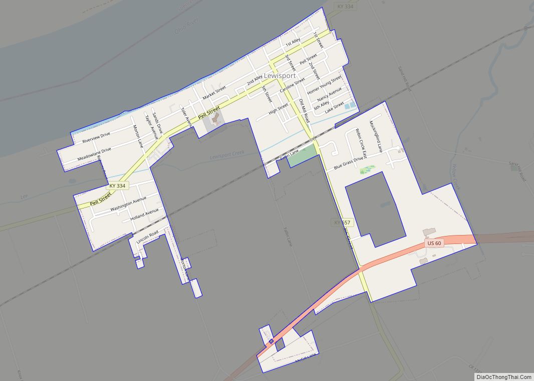
Map of Liberty city, Kentucky

Map of Liberty city, Kentucky

Liberty is a home rule-class city in Casey County, Kentucky, in the United States. It is the seat of its county. Its population was 2,168 at the 2010 U.S. census. Liberty city overview: Name: Liberty city LSAD Code: 25 LSAD Description: city (suffix) State: Kentucky County: Casey County Incorporated: 1860 Elevation: 810 ft (250 m) Total Area: … Read more

Map of Livingston city, Kentucky

Map of Livingston city, Kentucky

Livingston is a home rule-class city in Rockcastle County, Kentucky, in the United States. The population was 226 during the 2010 U.S. census. It is part of the Richmond-Berea micropolitan area. Livingston city overview: Name: Livingston city LSAD Code: 25 LSAD Description: city (suffix) State: Kentucky County: Rockcastle County Incorporated: 1880 Elevation: 912 ft (278 m) Total … Read more

Map of Livermore city, Kentucky

Map of Livermore city, Kentucky

Livermore (locally /ˈlɪvərmɔːr/) is a home rule-class city located at the confluence of the Green and Rough rivers in McLean County in the U.S. state of Kentucky. The population was 1,230 as of the 2020 census, down from 1,365 in 2010. It is included in the Owensboro metropolitan area. Livermore city overview: Name: Livermore city … Read more

Map of Lincolnshire city, Kentucky

Map of Lincolnshire city, Kentucky

Lincolnshire is a home rule-class city in Jefferson County, Kentucky, United States. The population was 148 at the 2010 census. Lincolnshire city overview: Name: Lincolnshire city LSAD Code: 25 LSAD Description: city (suffix) State: Kentucky County: Jefferson County Incorporated: 1953 Elevation: 574 ft (175 m) Total Area: 0.05 sq mi (0.12 km²) Land Area: 0.05 sq mi (0.12 km²) Water Area: 0.00 sq mi (0.00 km²) … Read more

Map of Louisa city

Map of Louisa city, Kentucky

Louisa is an American city located in eastern Kentucky at the merger of the Levisa and Tug Forks into the Big Sandy River, which forms part of the state’s border with West Virginia. It is located in Lawrence County the seat of its county. The population was 2,467 at the 2010 census and an estimated … Read more

Map of Loretto city

Map of Loretto city, Kentucky

Loretto is a home rule-class city in Marion County, Kentucky, United States. The population was 723 at the 2020 census. It is best known as the home of the Maker’s Mark bourbon distillery. Loretto city overview: Name: Loretto city LSAD Code: 25 LSAD Description: city (suffix) State: Kentucky County: Marion County Incorporated: 1866 Elevation: 738 ft … Read more

Map of London city, Kentucky

Map of London city, Kentucky

London is a home rule-class city in Laurel County, Kentucky, in the United States. It is the seat of its county. The population was 8,053 at the time of the 2020 census. It is the second-largest city named “London” in the United States and the fourth-largest in the world. It is part of the London, … Read more

Map of Loyall city

Map of Loyall city

Loyall (/ˈloʊəl/) is a home rule-class city in Harlan County, Kentucky, in the United States. The population was 1,461 as of the 2010 census, up from 766 at the time of the 2000 census. Loyall city overview: Name: Loyall city LSAD Code: 25 LSAD Description: city (suffix) State: Kentucky County: Harlan County Incorporated: 1924 Elevation: … Read more

Map of Lowes CDP

Map of Lowes CDP

Lowes is an unincorporated community and census-designated place (CDP) in Graves County, Kentucky, United States. Lowes is 13 miles (21 km) northwest of Mayfield. As of the 2010 Census the population of Lowes was 98. Lowes CDP overview: Name: Lowes CDP LSAD Code: 57 LSAD Description: CDP (suffix) State: Kentucky County: Graves County Elevation: 469 ft (143 m) … Read more

Map of Lovelaceville CDP

Map of Lovelaceville CDP

Lovelaceville is a census-designated place (CDP) in Ballard County, Kentucky, United States. The population was 972 at the 2010 census. The town is named after Elias and Andrew Lovelace who settled and raised their families there back around 1830. The Lovelace family came from North and South Carolina, after immigrating from England. Lovelaceville CDP overview: … Read more

Map of Lyndon city, Kentucky

Map of Lyndon city, Kentucky

Lyndon is a home rule-class city in Jefferson County, Kentucky, United States. The population was 11,002 at the 2010 census, up from 9,369 at the 2000 census. Incorporated on May 10, 1965, Lyndon became part of the new Louisville Metro government in 2003. It remains an independent city with its own mayor and emergency services … Read more

Map of Lynch city

Map of Lynch city, Kentucky

Lynch is a home rule-class city in Harlan County, Kentucky, United States. In the 2020 census the city population was 658, down from 747 in 2010. Lynch city overview: Name: Lynch city LSAD Code: 25 LSAD Description: city (suffix) State: Kentucky County: Harlan County Incorporated: May 7, 1963 Elevation: 1,716 ft (523 m) Total Area: 0.30 sq mi (0.78 km²) … Read more