Lynch is a home rule-class city in Harlan County, Kentucky, United States. In the 2020 census the city population was 658, down from 747 in 2010.
| Name: | Lynch city |
|---|---|
| LSAD Code: | 25 |
| LSAD Description: | city (suffix) |
| State: | Kentucky |
| County: | Harlan County |
| Incorporated: | May 7, 1963 |
| Elevation: | 1,716 ft (523 m) |
| Total Area: | 0.30 sq mi (0.78 km²) |
| Land Area: | 0.30 sq mi (0.78 km²) |
| Water Area: | 0.00 sq mi (0.00 km²) |
| Total Population: | 658 |
| Population Density: | 2,200.67/sq mi (848.65/km²) |
| ZIP code: | 40855 |
| Area code: | 606 |
| FIPS code: | 2148540 |
| GNISfeature ID: | 0497363 |
Online Interactive Map
Click on ![]() to view map in "full screen" mode.
to view map in "full screen" mode.
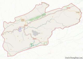
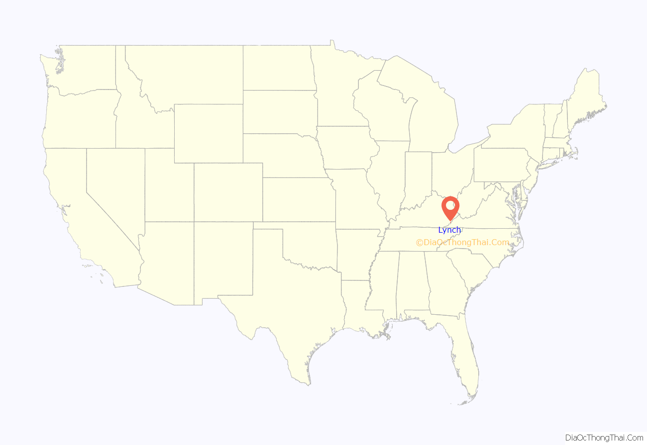
Lynch location map. Where is Lynch city?
History
Lynch was plotted in 1917 by the U.S. Coal and Coke Company (a subsidiary of U.S. Steel) as a company town to house workers at the company’s nearby coal mines. It was named for then-head of the company, Thomas Lynch.
By the 1940s, Lynch had a population of 10,000 and had such amenities as a hospital and movie theater. The population declined dramatically in the 1960s and 1970s as mining techniques shifted to less labor-intensive methods.
In 1996, the rails to Lynch and nearby Benham were officially abandoned.
In 2012, PBS of Eastern Tennessee created a documentary titled The Eastern Kentucky Social Club dealing with the history of the black community and immigrant community in Lynch.
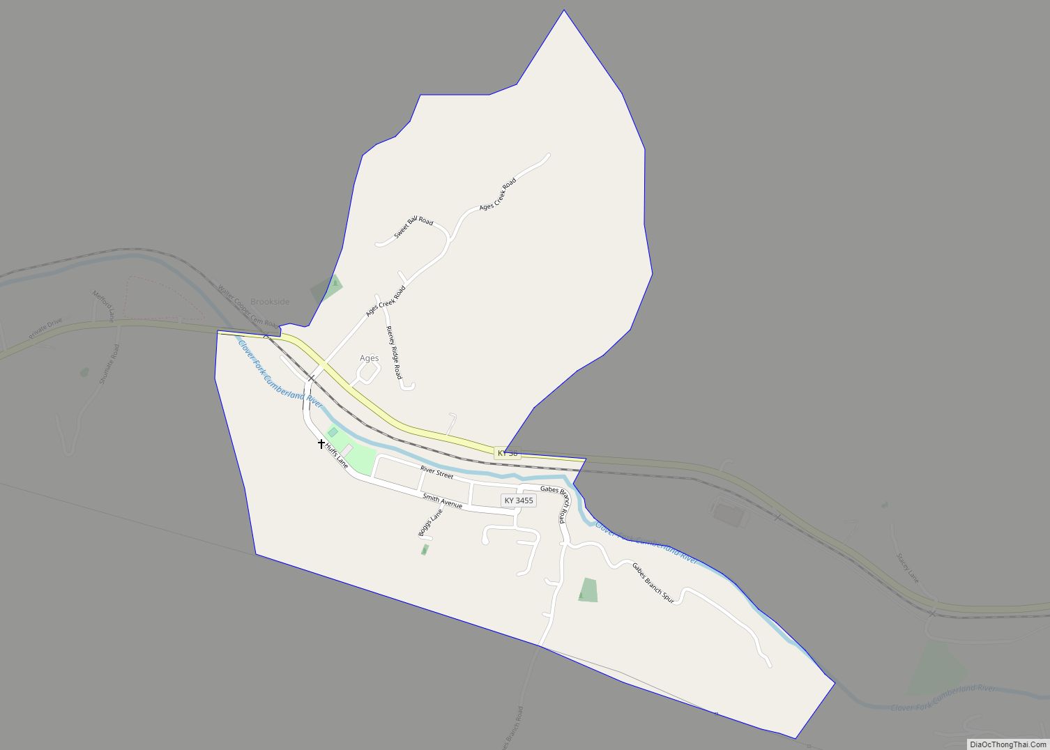
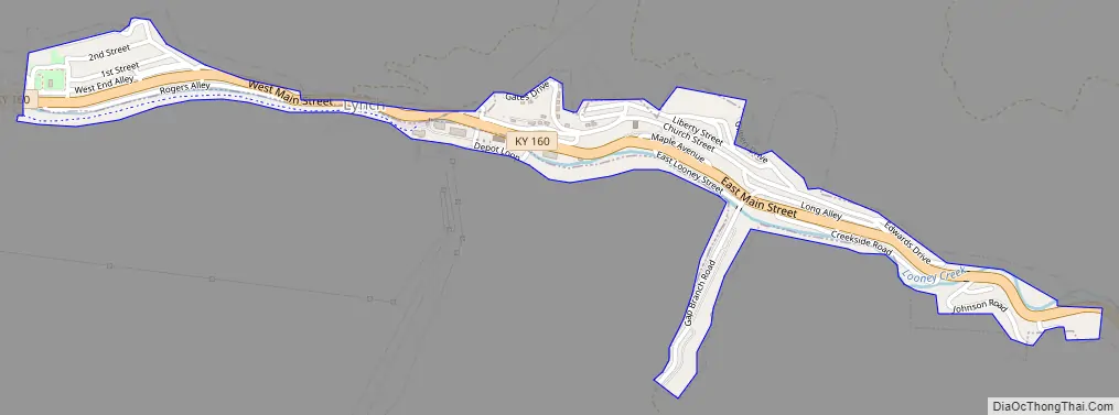
Lynch Road Map
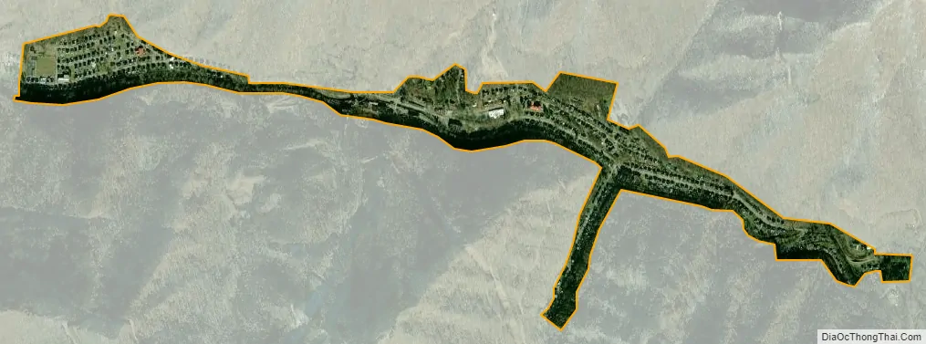
Lynch city Satellite Map
Geography
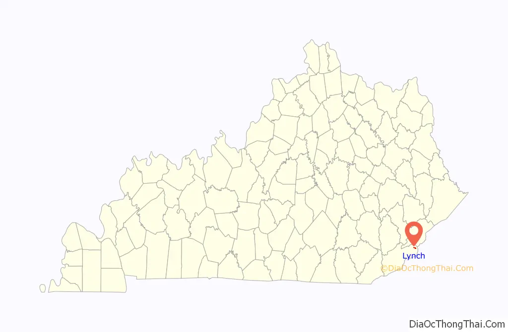
Lynch is located in eastern Harlan County at 36°57′54″N 82°55′00″W / 36.965133°N 82.916569°W / 36.965133; -82.916569 (36.965133, -82.916569), in the valley of Looney Creek. Lynch is the nearest city to Kentucky’s highest point, Black Mountain (4,145 ft or 1,263 m). Sitting at an elevation of 1,716 feet (523 m) above sea level,
Lynch is Kentucky’s highest incorporated city. It is bordered by 3,488-foot (1,063 m) Looney Ridge to the north and 3,640-foot (1,110 m) Benham Spur to the south. The city of Benham borders the west side of Lynch, and Cumberland is 4 miles (6 km) to the west via Kentucky Route 160, the main road through Lynch. KY 160 leads southeast up the valley of Looney Creek to the Virginia border on the crest of Black Mountain at an elevation of 3,700 feet (1,100 m), then continues to Appalachia, Virginia, 16 miles (26 km) southeast of Lynch.
According to the United States Census Bureau, Lynch has a total area of 0.3 square miles (0.78 km), all of it land.
See also
Map of Kentucky State and its subdivision:- Adair
- Allen
- Anderson
- Ballard
- Barren
- Bath
- Bell
- Boone
- Bourbon
- Boyd
- Boyle
- Bracken
- Breathitt
- Breckinridge
- Bullitt
- Butler
- Caldwell
- Calloway
- Campbell
- Carlisle
- Carroll
- Carter
- Casey
- Christian
- Clark
- Clay
- Clinton
- Crittenden
- Cumberland
- Daviess
- Edmonson
- Elliott
- Estill
- Fayette
- Fleming
- Floyd
- Franklin
- Fulton
- Gallatin
- Garrard
- Grant
- Graves
- Grayson
- Green
- Greenup
- Hancock
- Hardin
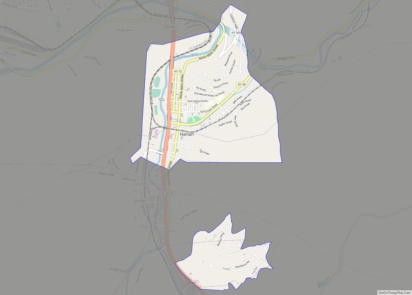
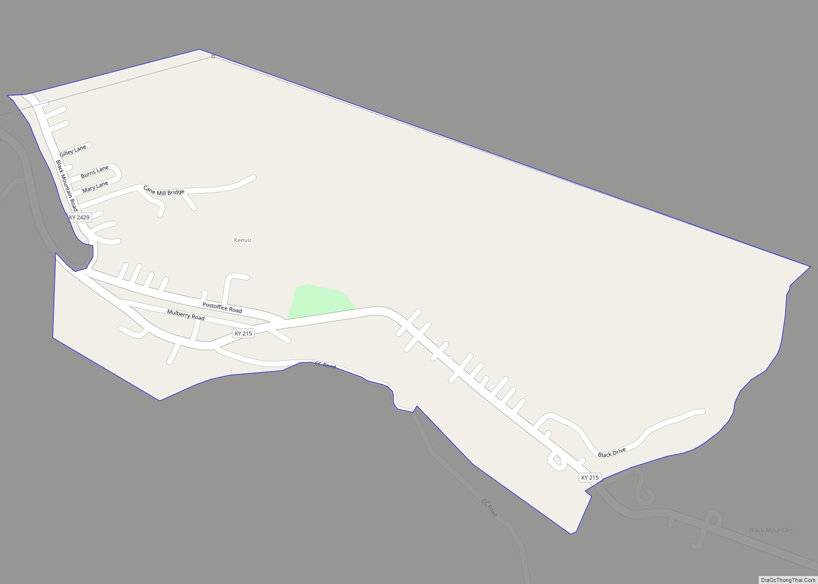
- Harlan
- Harrison
- Hart
- Henderson
- Henry
- Hickman
- Hopkins
- Jackson
- Jefferson
- Jessamine
- Johnson
- Kenton
- Knott
- Knox
- Larue
- Laurel
- Lawrence
- Lee
- Leslie
- Letcher
- Lewis
- Lincoln
- Livingston
- Logan
- Lyon
- Madison
- Magoffin
- Marion
- Marshall
- Martin
- Mason
- McCracken
- McCreary
- McLean
- Meade
- Menifee
- Mercer
- Metcalfe
- Monroe
- Montgomery
- Morgan
- Muhlenberg
- Nelson
- Nicholas
- Ohio
- Oldham
- Owen
- Owsley
- Pendleton
- Perry
- Pike
- Powell
- Pulaski
- Robertson
- Rockcastle
- Rowan
- Russell
- Scott
- Shelby
- Simpson
- Spencer
- Taylor
- Todd
- Trigg
- Trimble
- Union
- Warren
- Washington
- Wayne
- Webster
- Whitley
- Wolfe
- Woodford
- Alabama
- Alaska
- Arizona
- Arkansas
- California
- Colorado
- Connecticut
- Delaware
- District of Columbia
- Florida
- Georgia
- Hawaii
- Idaho
- Illinois
- Indiana
- Iowa
- Kansas
- Kentucky
- Louisiana
- Maine
- Maryland
- Massachusetts
- Michigan
- Minnesota
- Mississippi
- Missouri
- Montana
- Nebraska
- Nevada
- New Hampshire
- New Jersey
- New Mexico
- New York
- North Carolina
- North Dakota
- Ohio
- Oklahoma
- Oregon
- Pennsylvania
- Rhode Island
- South Carolina
- South Dakota
- Tennessee
- Texas
- Utah
- Vermont
- Virginia
- Washington
- West Virginia
- Wisconsin
- Wyoming