London is a home rule-class city in Laurel County, Kentucky, in the United States. It is the seat of its county. The population was 8,053 at the time of the 2020 census. It is the second-largest city named “London” in the United States and the fourth-largest in the world. It is part of the London, Kentucky micropolitan area. Of the seventeen micropolitan areas in Kentucky, London is the largest; the London micropolitan area’s 2010 Census population was 126,368. London is also home to the annual World Chicken Festival that celebrates the life of Colonel Sanders and features the world’s largest skillet.
| Name: | London city |
|---|---|
| LSAD Code: | 25 |
| LSAD Description: | city (suffix) |
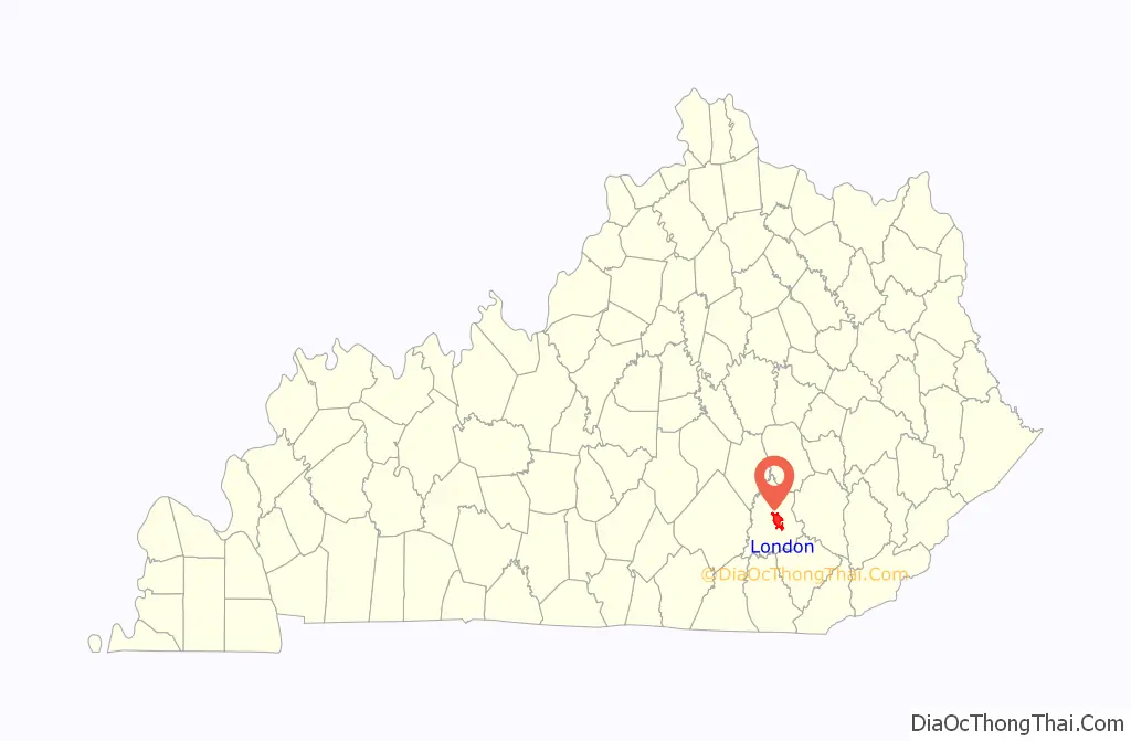
| State: | Kentucky |
| County: | Laurel County |
| Incorporated: | February 11, 1836 |
| Elevation: | 1,240 ft (380 m) |
| Land Area: | 11.57 sq mi (29.96 km²) |
| Water Area: | 0.04 sq mi (0.12 km²) |
| Population Density: | 654.62/sq mi (252.76/km²) |
| ZIP code: | 40741-40745 |
| Area code: | 606 |
| FIPS code: | 2147476 |
| GNISfeature ID: | 0513578 |
| Website: | www.londonky.gov |
Online Interactive Map
Click on ![]() to view map in "full screen" mode.
to view map in "full screen" mode.
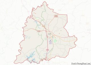
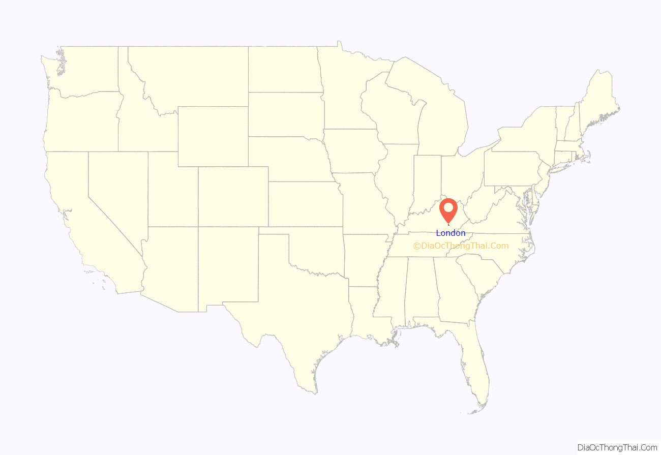
London location map. Where is London city?
History
Upon the establishment of Laurel County in 1825, a vote was held to provide for the new area’s seat of government. The land offered by John Jackson and his son Jarvis Jackson was selected, along with their suggested name of London, honoring their English heritage. The town was founded the next year, its post office established in 1831, and its city rights granted in 1836.
One of John Jackson’s sons was Hancock Lee Jackson, 13th governor of Missouri. His second cousin was Claiborne Fox Jackson, 15th governor of Missouri.
During the late 1930s and early 1940s, London served as a central collection agency for books donated to the Pack Horse Library Project. It also had a pack horse library which delivered books to rural residents in the mountains.
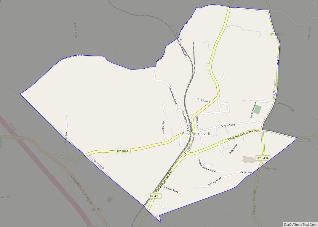
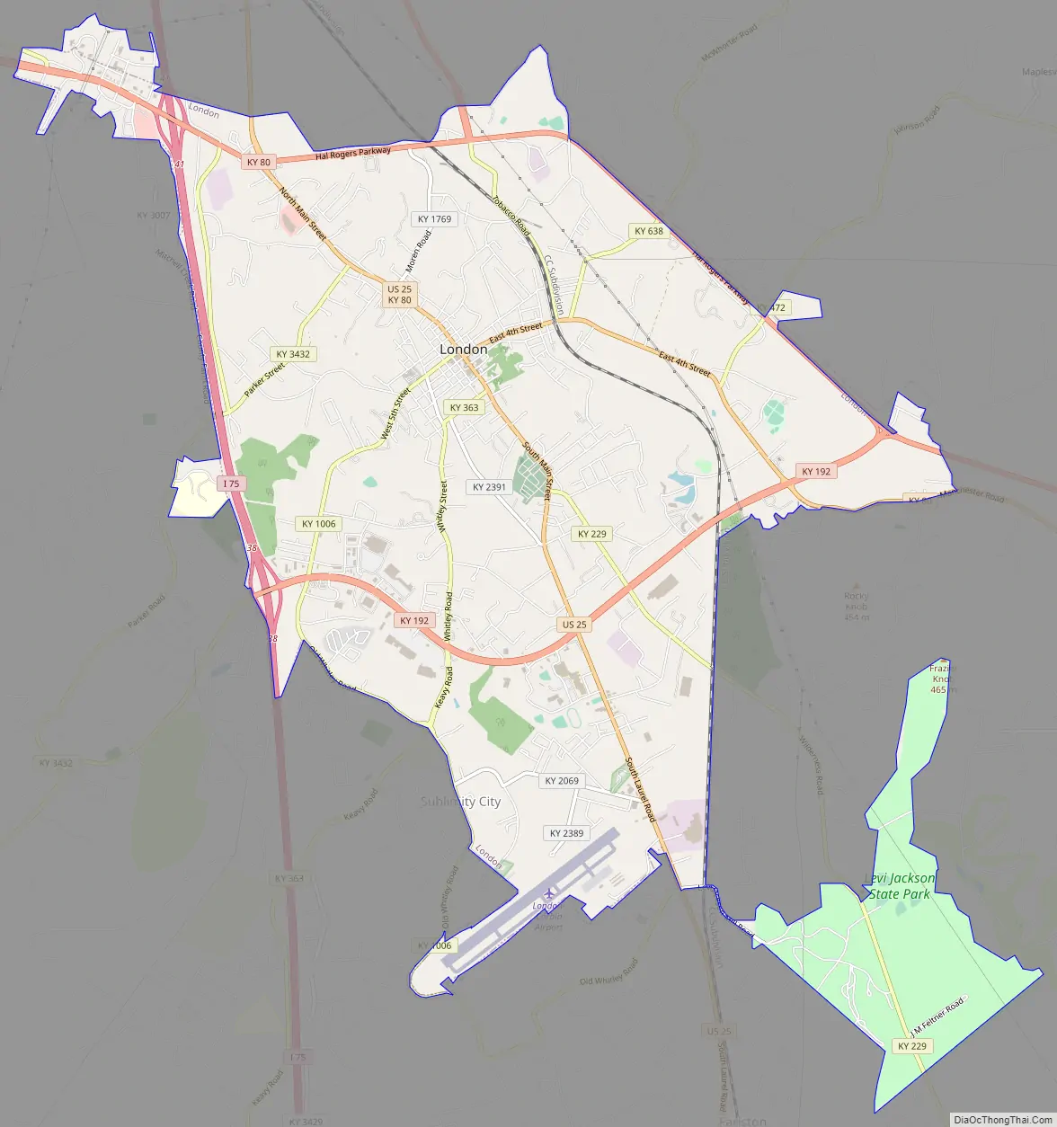
London Road Map
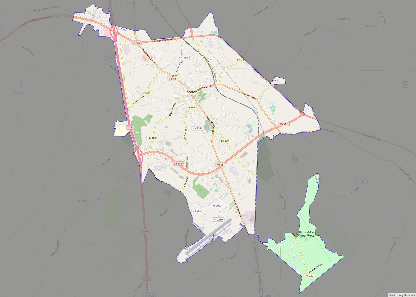
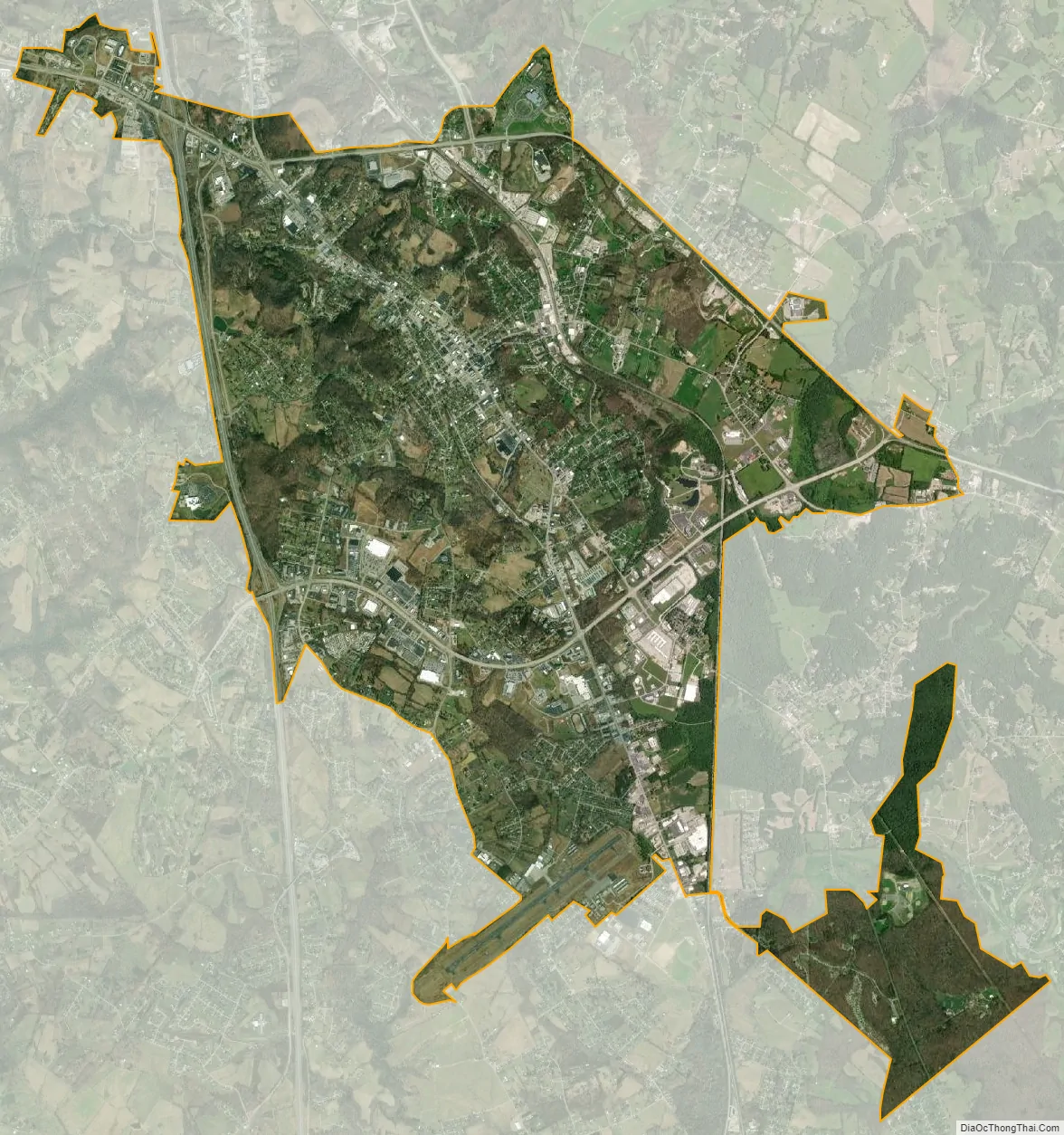
London city Satellite Map
Geography
London is located in central Laurel County at 37°7′39″N 84°5′3″W / 37.12750°N 84.08417°W / 37.12750; -84.08417 (37.127504, -84.084181) and at an elevation of 1,240 feet (380 m).
U.S. Route 25 passes through London as its Main Street. Route 25 leads northwest 25 miles (40 km) to Mount Vernon and south 13 miles (21 km) to Corbin. Interstate 75, running parallel to US 25, passes along the western edge of London, with access from Exits 38 and 41. I-75 leads north 76 miles (122 km) to Lexington and south 97 miles (156 km) to Knoxville, Tennessee. The Hal Rogers Parkway runs along the northern edge of London, leading east 21 miles (34 km) to Garrard and west 32 miles (51 km) to Somerset.
According to the United States Census Bureau, London has a total area of 11.6 square miles (30.1 km), of which 0.04 square miles (0.1 km), or 0.39%, are water. Between the 2000 and 2010 censuses, the city annexed a significant portion of land.
See also
Map of Kentucky State and its subdivision:- Adair
- Allen
- Anderson
- Ballard
- Barren
- Bath
- Bell
- Boone
- Bourbon
- Boyd
- Boyle
- Bracken
- Breathitt
- Breckinridge
- Bullitt
- Butler
- Caldwell
- Calloway
- Campbell
- Carlisle
- Carroll
- Carter
- Casey
- Christian
- Clark
- Clay
- Clinton
- Crittenden
- Cumberland
- Daviess
- Edmonson
- Elliott
- Estill
- Fayette
- Fleming
- Floyd
- Franklin
- Fulton
- Gallatin
- Garrard
- Grant
- Graves
- Grayson
- Green
- Greenup
- Hancock
- Hardin
- Harlan
- Harrison
- Hart
- Henderson
- Henry
- Hickman
- Hopkins
- Jackson
- Jefferson
- Jessamine
- Johnson
- Kenton
- Knott
- Knox
- Larue
- Laurel
- Lawrence
- Lee
- Leslie
- Letcher
- Lewis
- Lincoln
- Livingston
- Logan
- Lyon
- Madison
- Magoffin
- Marion
- Marshall
- Martin
- Mason
- McCracken
- McCreary
- McLean
- Meade
- Menifee
- Mercer
- Metcalfe
- Monroe
- Montgomery
- Morgan
- Muhlenberg
- Nelson
- Nicholas
- Ohio
- Oldham
- Owen
- Owsley
- Pendleton
- Perry
- Pike
- Powell
- Pulaski
- Robertson
- Rockcastle
- Rowan
- Russell
- Scott
- Shelby
- Simpson
- Spencer
- Taylor
- Todd
- Trigg
- Trimble
- Union
- Warren
- Washington
- Wayne
- Webster
- Whitley
- Wolfe
- Woodford
- Alabama
- Alaska
- Arizona
- Arkansas
- California
- Colorado
- Connecticut
- Delaware
- District of Columbia
- Florida
- Georgia
- Hawaii
- Idaho
- Illinois
- Indiana
- Iowa
- Kansas
- Kentucky
- Louisiana
- Maine
- Maryland
- Massachusetts
- Michigan
- Minnesota
- Mississippi
- Missouri
- Montana
- Nebraska
- Nevada
- New Hampshire
- New Jersey
- New Mexico
- New York
- North Carolina
- North Dakota
- Ohio
- Oklahoma
- Oregon
- Pennsylvania
- Rhode Island
- South Carolina
- South Dakota
- Tennessee
- Texas
- Utah
- Vermont
- Virginia
- Washington
- West Virginia
- Wisconsin
- Wyoming