Livermore (locally /ˈlɪvərmɔːr/) is a home rule-class city located at the confluence of the Green and Rough rivers in McLean County in the U.S. state of Kentucky. The population was 1,230 as of the 2020 census, down from 1,365 in 2010. It is included in the Owensboro metropolitan area.
| Name: | Livermore city |
|---|---|
| LSAD Code: | 25 |
| LSAD Description: | city (suffix) |
| State: | Kentucky |
| County: | McLean County |
| Incorporated: | 1850 |
| Elevation: | 407 ft (124 m) |
| Total Area: | 1.04 sq mi (2.70 km²) |
| Land Area: | 1.03 sq mi (2.68 km²) |
| Water Area: | 0.01 sq mi (0.03 km²) |
| Total Population: | 1,230 |
| Population Density: | 1,190.71/sq mi (459.76/km²) |
| ZIP code: | 42352 |
| Area code: | 270 |
| FIPS code: | 2147062 |
| GNISfeature ID: | 0496908 |
| Website: | www.cityoflivermore.info |
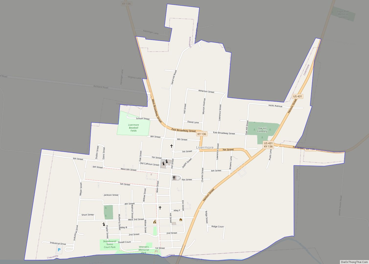
Online Interactive Map
Click on ![]() to view map in "full screen" mode.
to view map in "full screen" mode.
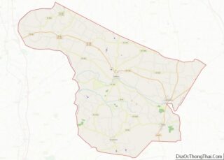
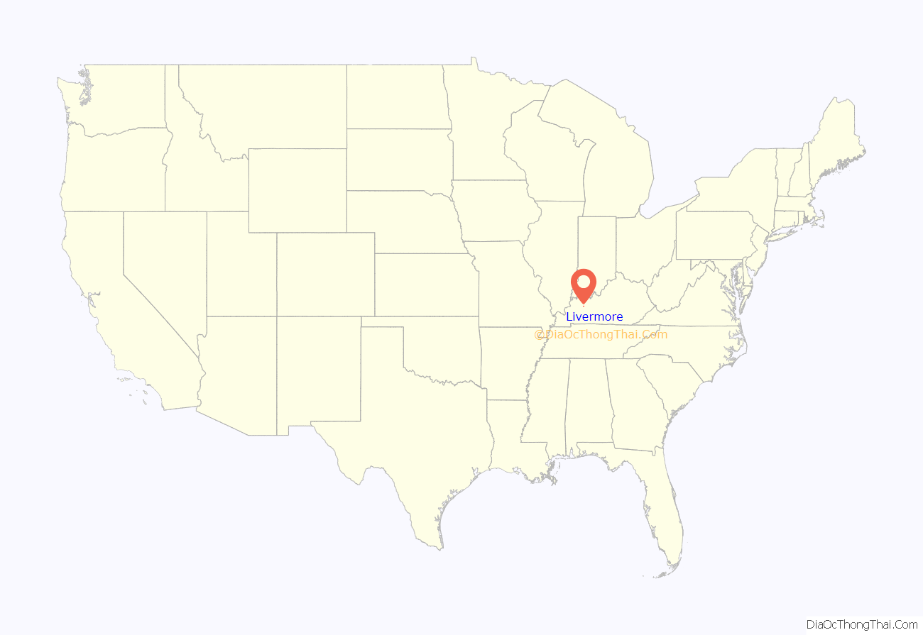
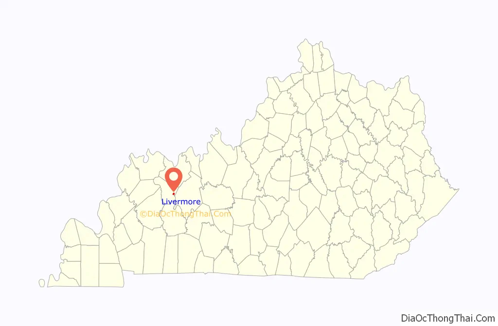
Livermore location map. Where is Livermore city?
History
Early years
William Brown founded the city in 1837 as “Brown’s Landing”, but the post office established the next year took the name Livermore. The origin is disputed: some historians trace it to an otherwise-unknown shopkeeper named James Livermore, others to civil engineer Alonzo Livermore who helped construct a dam across the Green River at Rumsey. The city was formally incorporated by the state assembly in 1850.
Opera house lynching
Livermore achieved national and international notoriety in the second decade of the 20th century for a bizarre lynching. On April 20, 1911, a black man named Will Porter (or Potter) shot and wounded Clarence Mitchell, a white man, after a barroom argument. Sheriff V.P. Stabler then arrested Porter. After this, accounts vary. The New York Times account holds that a local mob of fifty overwhelmed the sheriff, who had hid Porter in the opera house basement to protect him. They then bound Porter’s hands and feet, took him to the center stage, and shot him there. Another version reported by several Kentucky papers omitted the sheriff’s concern and had Porter taken from the jail to the opera house, where admission was charged to witness the hanging. Those in the gallery were permitted a single shot at Porter; those in the orchestra seats were allowed to empty their guns.
The NAACP quickly condemned the lynching and sent letters to President Taft, the Congress, and Governor Willson of Kentucky. At Willson’s insistence, Kentucky issued warrants for 18 of the lynchers; three leaders – including Mitchell’s brother Lawrence – were separately indicted and tried for murder, but quickly acquitted. At the time of the indictments, it was locally reported that Clarence Mitchell, “the young white man” whose shooting had enraged the Livermore mob, “has since fully recovered, and has married.” Following acquittal of the three ringleaders in fall 1911, indictments of the remaining 15 were “filed away” and appear to have never been brought to trial. In 1915, both presiding Judge T. F. Birkhead and Commonwealth Attorney Ben D. Ringo were defeated for reelection, Birkhead receiving not one vote from McLean County.
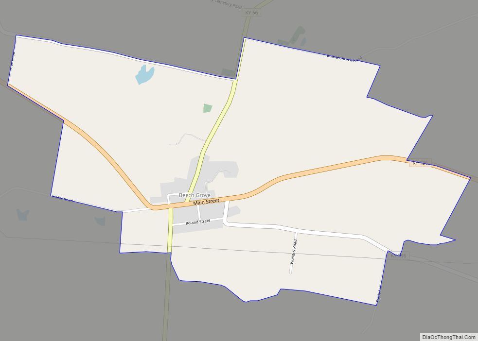
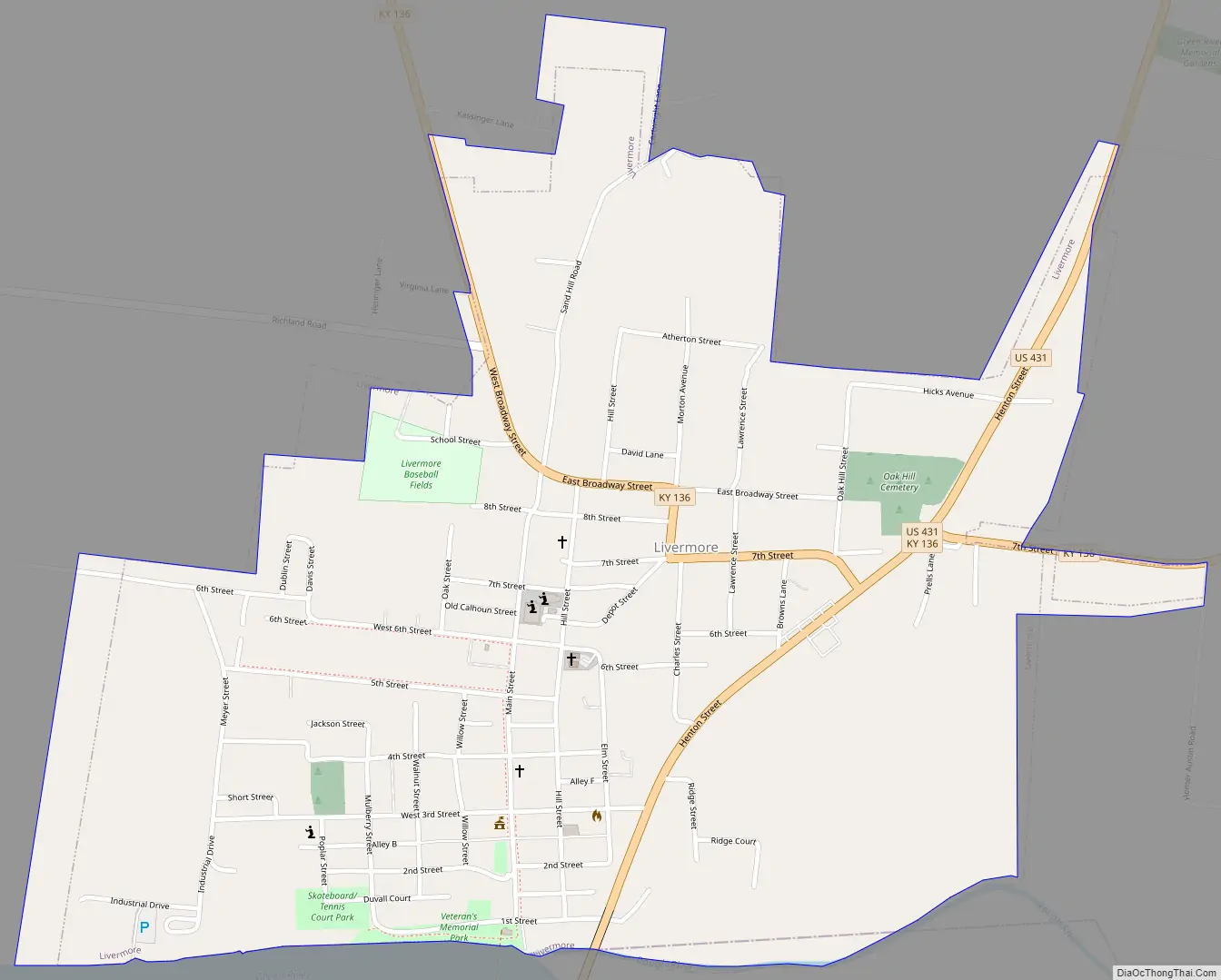
Livermore Road Map
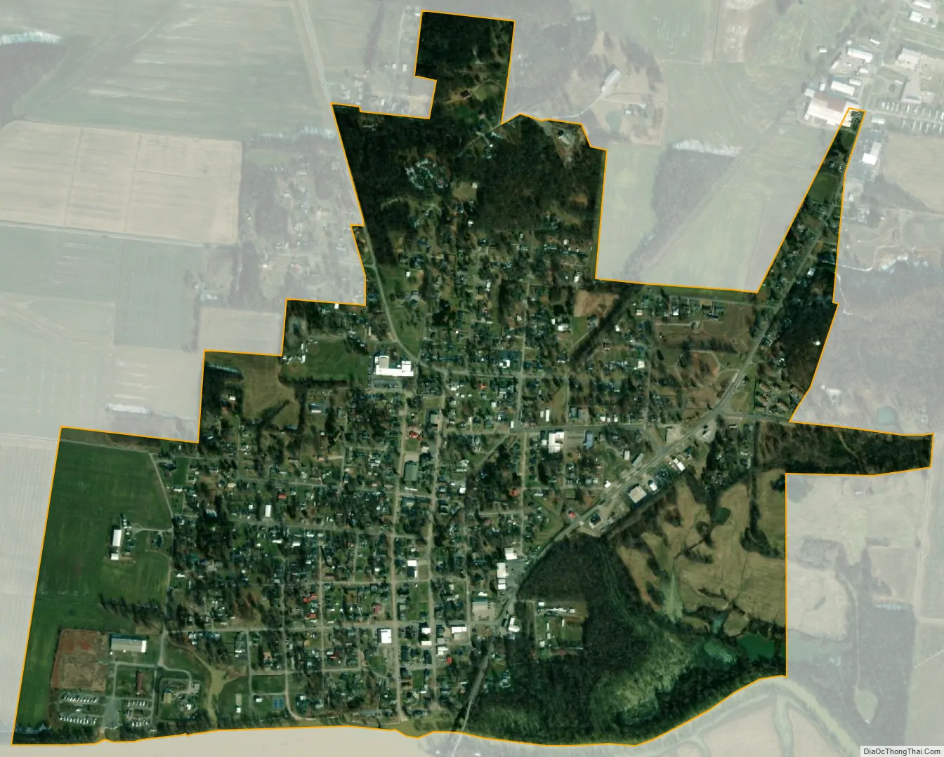
Livermore city Satellite Map
Geography
Livermore is located in eastern McLean County at 37°29′28″N 87°8′7″W / 37.49111°N 87.13528°W / 37.49111; -87.13528 (37.490987, -87.135340), on the north side of the Green River and Rough River. It is bordered to the south, across the Rough River, by Ohio County.
U.S. Route 431 passes through the east side of Livermore as Henton Street. The highway leads north 20 miles (32 km) to Owensboro and south 15 miles (24 km) to Central City. Kentucky Route 136 passes through the northern part of the city, leading west 9 miles (14 km) to Calhoun, the McLean county seat, and east 14 miles (23 km) to Hartford.
According to the United States Census Bureau, Livermore has a total area of 1.04 square miles (2.7 km), of which 0.007 square miles (0.018 km), or 0.67%, are water.
See also
Map of Kentucky State and its subdivision:- Adair
- Allen
- Anderson
- Ballard
- Barren
- Bath
- Bell
- Boone
- Bourbon
- Boyd
- Boyle
- Bracken
- Breathitt
- Breckinridge
- Bullitt
- Butler
- Caldwell
- Calloway
- Campbell
- Carlisle
- Carroll
- Carter
- Casey
- Christian
- Clark
- Clay
- Clinton
- Crittenden
- Cumberland
- Daviess
- Edmonson
- Elliott
- Estill
- Fayette
- Fleming
- Floyd
- Franklin
- Fulton
- Gallatin
- Garrard
- Grant
- Graves
- Grayson
- Green
- Greenup
- Hancock
- Hardin
- Harlan
- Harrison
- Hart
- Henderson
- Henry
- Hickman
- Hopkins
- Jackson
- Jefferson
- Jessamine
- Johnson
- Kenton
- Knott
- Knox
- Larue
- Laurel
- Lawrence
- Lee
- Leslie
- Letcher
- Lewis
- Lincoln
- Livingston
- Logan
- Lyon
- Madison
- Magoffin
- Marion
- Marshall
- Martin
- Mason
- McCracken
- McCreary
- McLean
- Meade
- Menifee
- Mercer
- Metcalfe
- Monroe
- Montgomery
- Morgan
- Muhlenberg
- Nelson
- Nicholas
- Ohio
- Oldham
- Owen
- Owsley
- Pendleton
- Perry
- Pike
- Powell
- Pulaski
- Robertson
- Rockcastle
- Rowan
- Russell
- Scott
- Shelby
- Simpson
- Spencer
- Taylor
- Todd
- Trigg
- Trimble
- Union
- Warren
- Washington
- Wayne
- Webster
- Whitley
- Wolfe
- Woodford
- Alabama
- Alaska
- Arizona
- Arkansas
- California
- Colorado
- Connecticut
- Delaware
- District of Columbia
- Florida
- Georgia
- Hawaii
- Idaho
- Illinois
- Indiana
- Iowa
- Kansas
- Kentucky
- Louisiana
- Maine
- Maryland
- Massachusetts
- Michigan
- Minnesota
- Mississippi
- Missouri
- Montana
- Nebraska
- Nevada
- New Hampshire
- New Jersey
- New Mexico
- New York
- North Carolina
- North Dakota
- Ohio
- Oklahoma
- Oregon
- Pennsylvania
- Rhode Island
- South Carolina
- South Dakota
- Tennessee
- Texas
- Utah
- Vermont
- Virginia
- Washington
- West Virginia
- Wisconsin
- Wyoming