Bancroft is a home rule-class city in Jefferson County, Kentucky, United States. It was formally incorporated by the state assembly in 1970. The population was 494 at the 2010 census. Bancroft city overview: Name: Bancroft city LSAD Code: 25 LSAD Description: city (suffix) State: Kentucky County: Jefferson County Elevation: 600 ft (183 m) Total Area: 0.15 sq mi (0.40 km²) ... Read more
Kentucky Cities and Places
Bardwell is a home rule-class city in and the county seat of Carlisle County, Kentucky, United States. The city was formally incorporated by the state assembly in 1878. The population was 714 at the 2020 census, down from 723 in 2010. Bardwell city overview: Name: Bardwell city LSAD Code: 25 LSAD Description: city (suffix) State: ... Read more
Bardstown is a home rule-class city in Nelson County, Kentucky, United States. The population was 13,567 in the 2020 census. It is the county seat of Nelson County. Bardstown is named for the pioneering Bard brothers. David Bard obtained a 1,000-acre (400 ha) land grant in 1785 in what was then Jefferson County, Virginia. William Bard ... Read more
Barbourville city overview: Name: Barbourville city LSAD Code: 25 LSAD Description: city (suffix) State: Kentucky County: Knox County Elevation: 981 ft (299 m) Total Area: 2.72 sq mi (7.04 km²) Land Area: 2.65 sq mi (6.88 km²) Water Area: 0.06 sq mi (0.16 km²) Total Population: 3,222 Population Density: 1,213.56/sq mi (468.47/km²) ZIP code: 40906 Area code: 606 FIPS code: 2103574 GNISfeature ID: 0486329 Website: www.cityofbarbourville.com Online ... Read more
Barlow is a home rule-class city in Ballard County, Kentucky, in the United States. The city was formally incorporated by the state assembly in 1872 as Barlow City and later reincorporated in 1903. The population was 675 as of the 2010 census. It is part of the Paducah, KY-IL Micropolitan Statistical Area. Barlow city overview: ... Read more
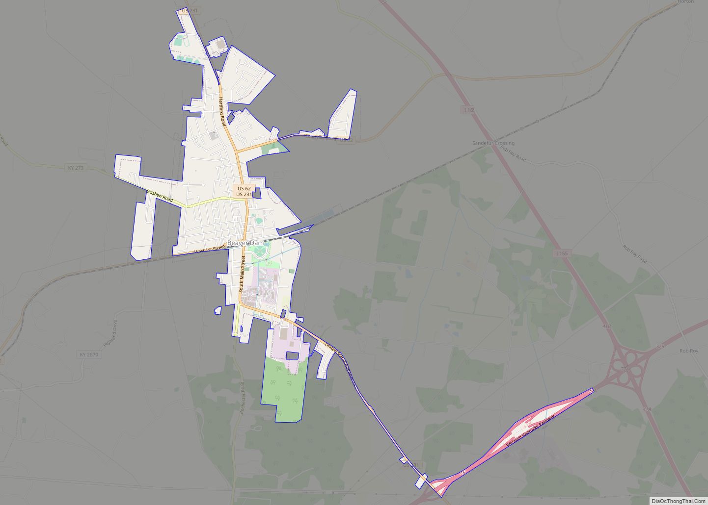
Beaver Dam is a home rule-class city in Ohio County, Kentucky, in the United States. The population was 3,409 at the 2010 census, and it is the most populous community in the county. It is named for the Beaver Dam Baptist Church which predates the town by several decades. The city was formally incorporated by ... Read more
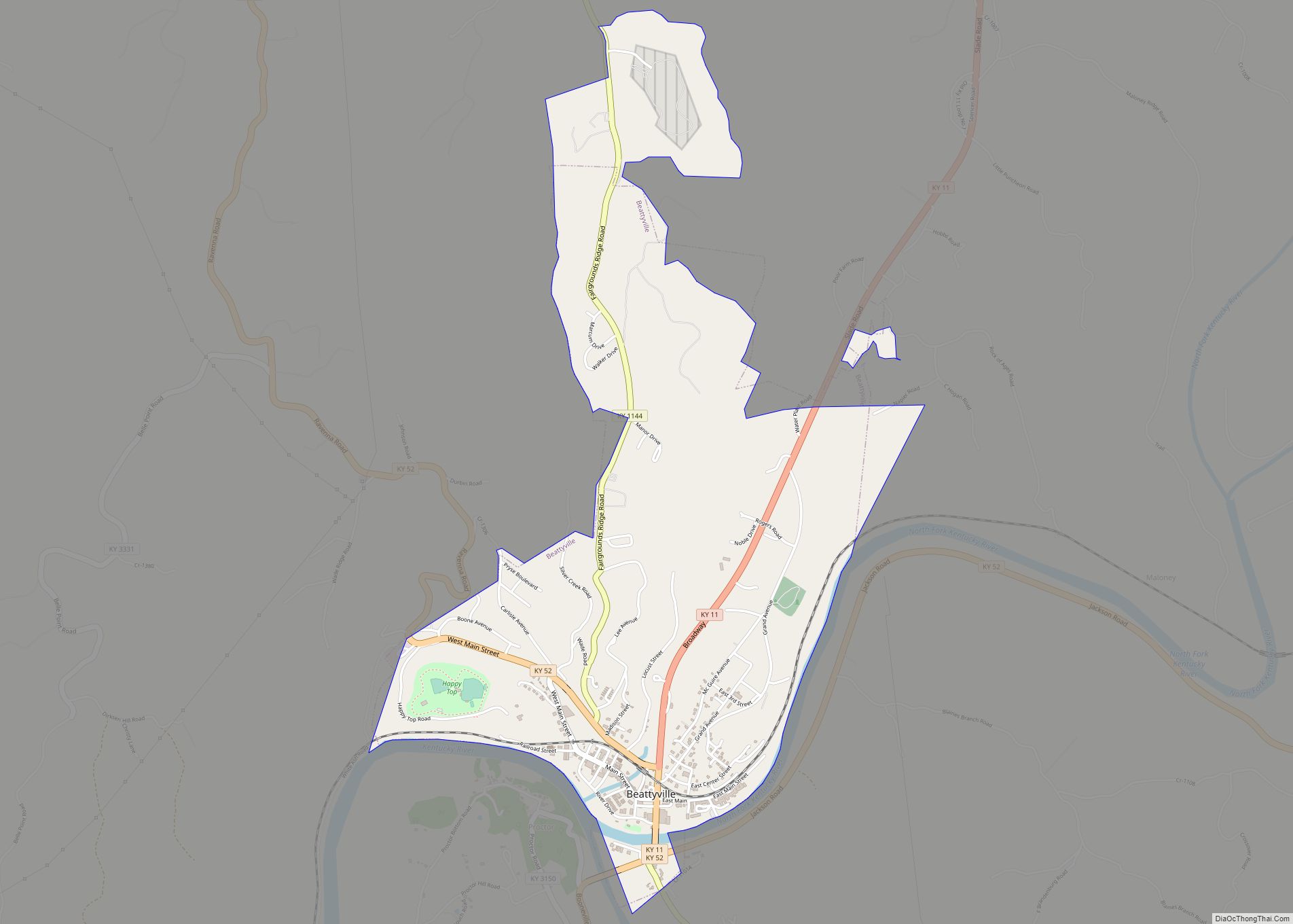
Beattyville is a home rule class city in, and the county seat of, Lee County, Kentucky, United States. The city was formally established by the state assembly as “Beatty” in 1851 and incorporated in 1872. It was named for Samuel Beatty, a pioneer settler. The population was 1,307 at the 2010 census and an estimated ... Read more
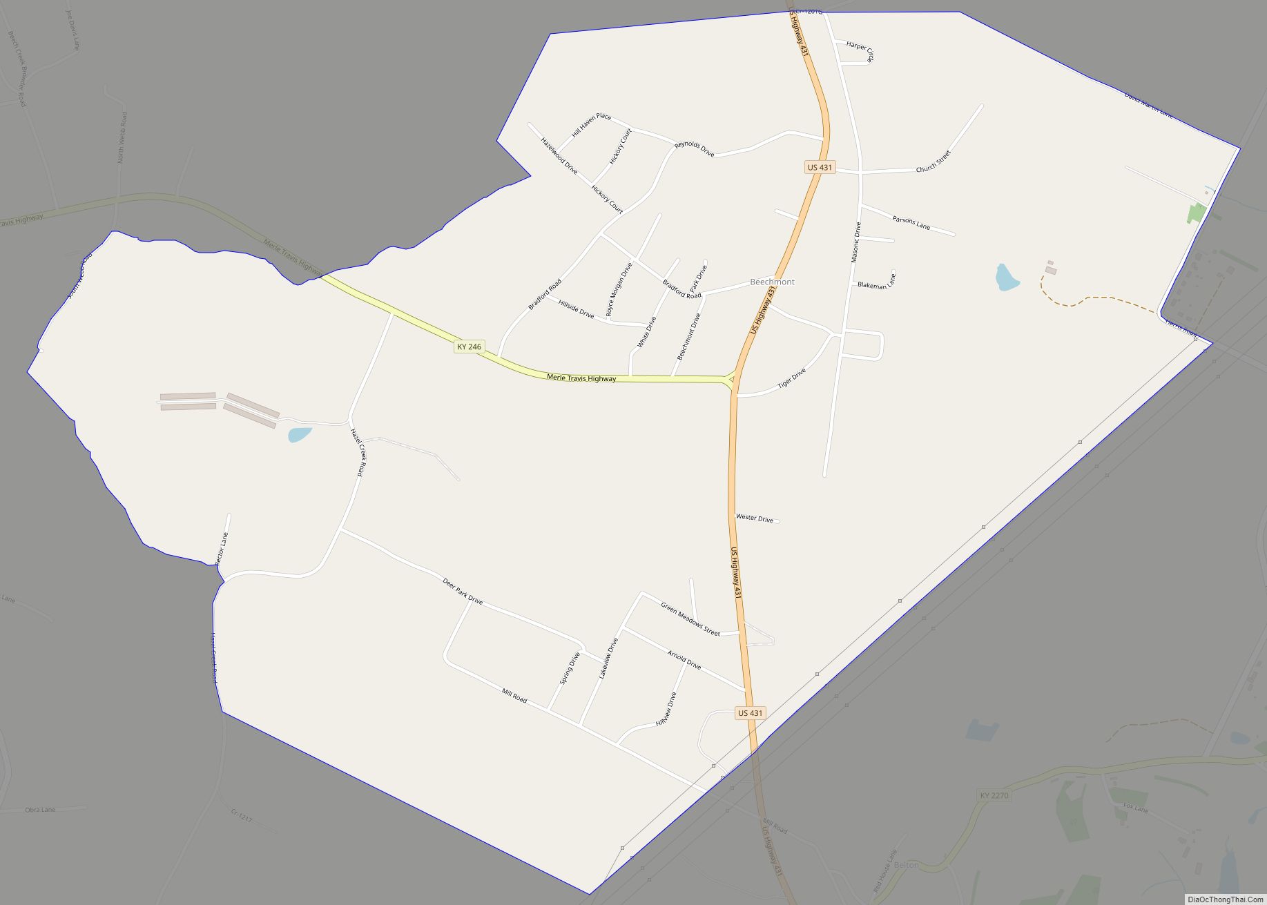
Beechmont is a census-designated place and unincorporated community located in Muhlenberg County, Kentucky, United States. Beechmont CDP overview: Name: Beechmont CDP LSAD Code: 57 LSAD Description: CDP (suffix) State: Kentucky County: Muhlenberg County Elevation: 463 ft (141 m) Total Area: 1.82 sq mi (4.73 km²) Land Area: 1.82 sq mi (4.71 km²) Water Area: 0.01 sq mi (0.02 km²) Total Population: 776 Population Density: 426.61/sq mi (164.72/km²) ... Read more
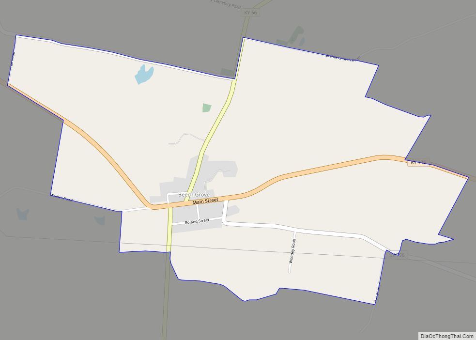
Beech Grove is an unincorporated community and census-designated place in McLean County, Kentucky, United States. Its population was 282 as of the 2020 census. Beech Grove has a post office with ZIP code 42322, which opened on April 29, 1878. Beech Grove CDP overview: Name: Beech Grove CDP LSAD Code: 57 LSAD Description: CDP (suffix) ... Read more
Bedford is a home rule-class city in Trimble County, Kentucky, United States. The population was 574 at the 2020 Census. It is the second largest city and county seat of Trimble County. It is located at the junction of U.S. Routes 42 and 421. Bedford city overview: Name: Bedford city LSAD Code: 25 LSAD Description: ... Read more
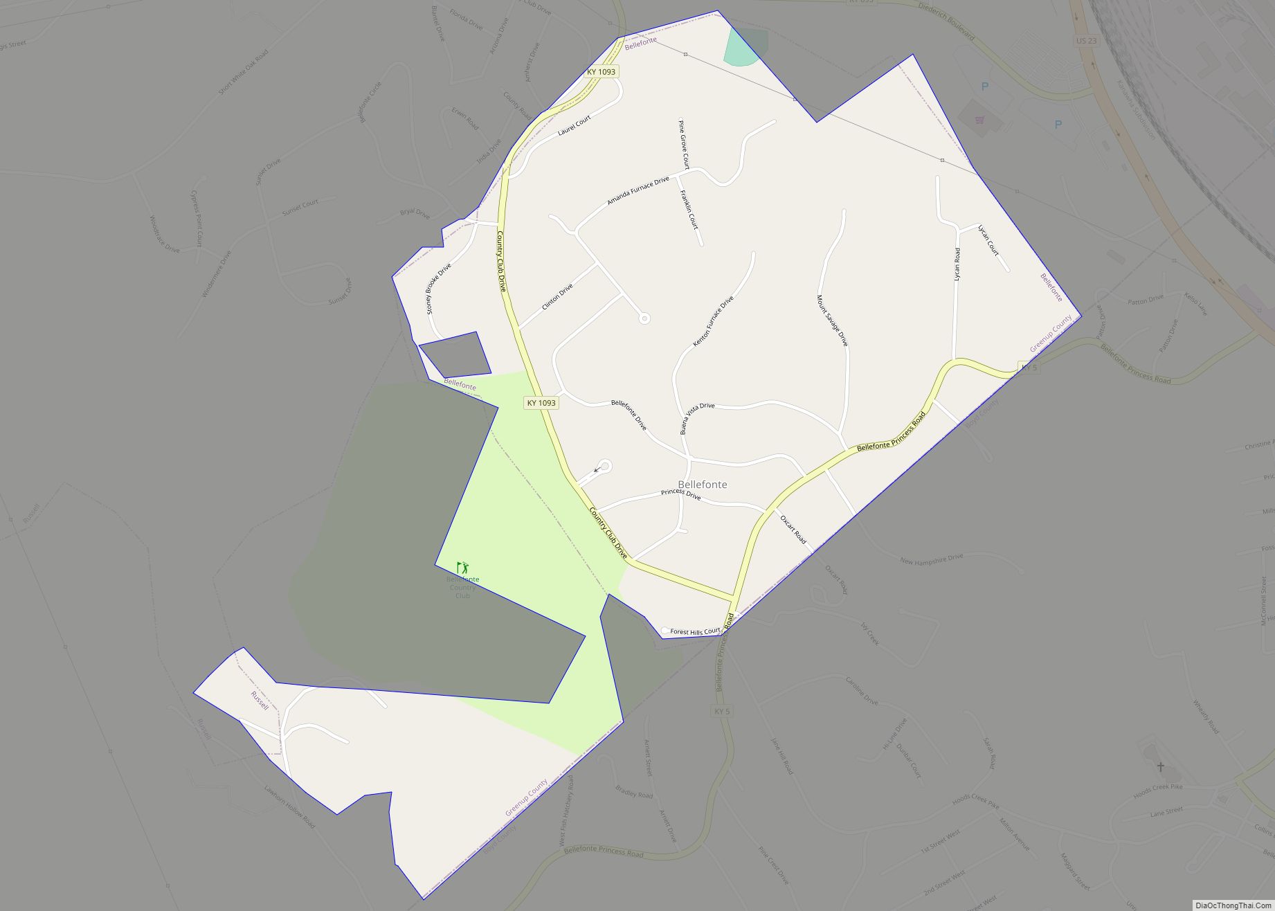
Bellefonte is a home rule-class city in Greenup County, Kentucky, United States. The population was 888 at the 2010 census. Bellefonte is a part of the Huntington–Ashland, WV–KY–OH Metropolitan Statistical Area (MSA). In 2013, according to new boundary definitions, the MSA had a population of 361,580. Being primarily residential, Bellefonte is a suburb of nearby ... Read more
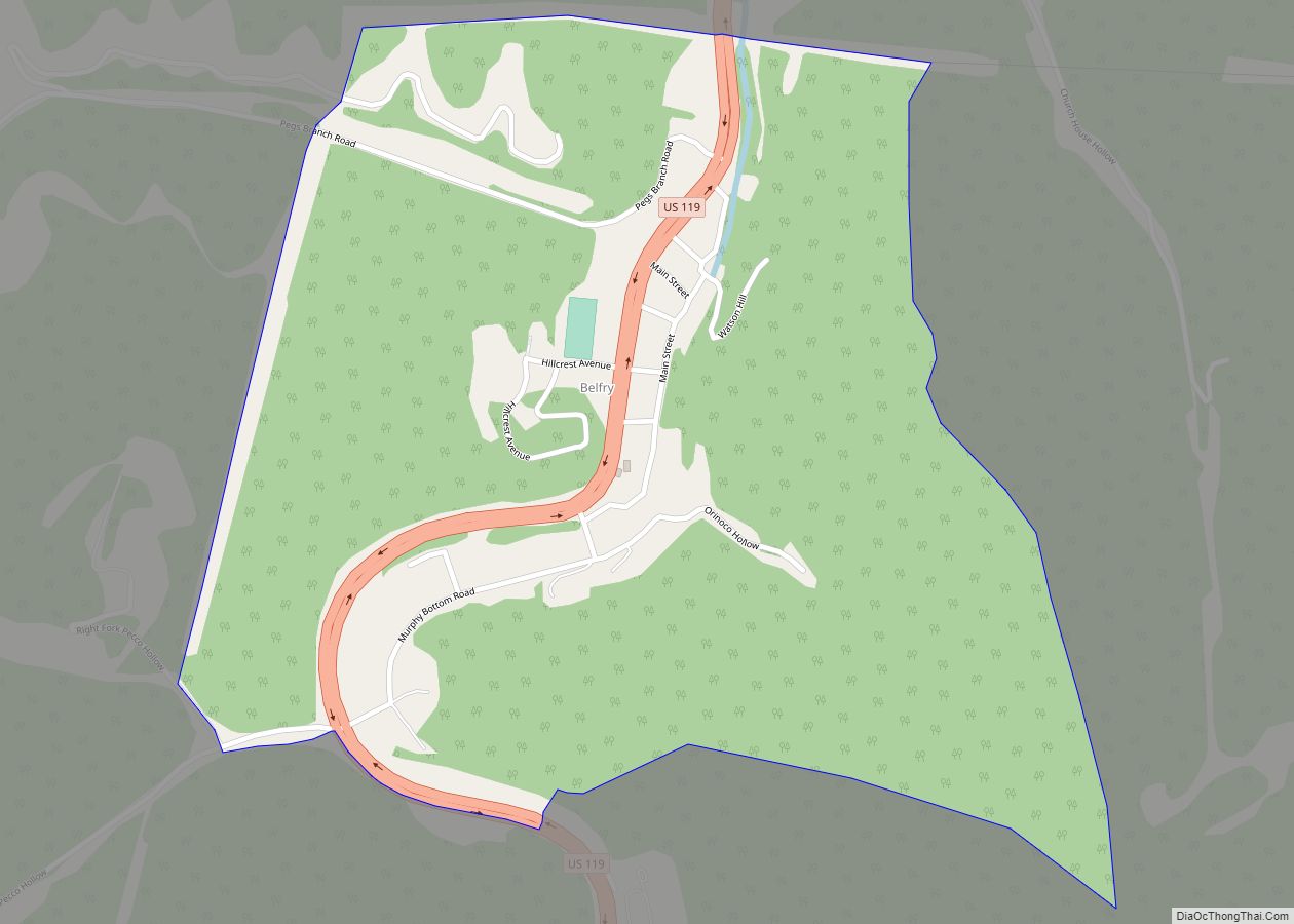
Belfry is an unincorporated community in Pike County, Kentucky. Belfry is located on U.S. Route 119, 16.8 miles (27.0 km) northeast of Pikeville. Belfry has a post office with ZIP code 41514, which opened on February 26, 1921. The origin of the name “Belfry” is obscure. The larger community of South Williamson borders Belfry to northwest. ... Read more

