Beattyville is a home rule class city in, and the county seat of, Lee County, Kentucky, United States. The city was formally established by the state assembly as “Beatty” in 1851 and incorporated in 1872. It was named for Samuel Beatty, a pioneer settler.
The population was 1,307 at the 2010 census and an estimated 1,206 in 2018.
| Name: | Beattyville city |
|---|---|
| LSAD Code: | 25 |
| LSAD Description: | city (suffix) |
| State: | Kentucky |
| County: | Lee County |
| Elevation: | 669 ft (204 m) |
| Total Area: | 2.30 sq mi (5.97 km²) |
| Land Area: | 2.29 sq mi (5.94 km²) |
| Water Area: | 0.01 sq mi (0.02 km²) |
| Total Population: | 2,176 |
| Population Density: | 948.15/sq mi (366.02/km²) |
| ZIP code: | 41311 |
| Area code: | 606 |
| FIPS code: | 2104546 |
| GNISfeature ID: | 0510486 |
| Website: | www.beattyville.org |
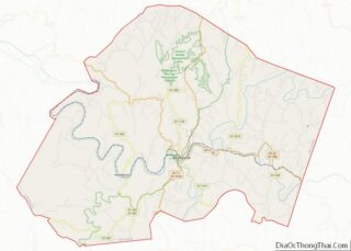
Online Interactive Map
Click on ![]() to view map in "full screen" mode.
to view map in "full screen" mode.
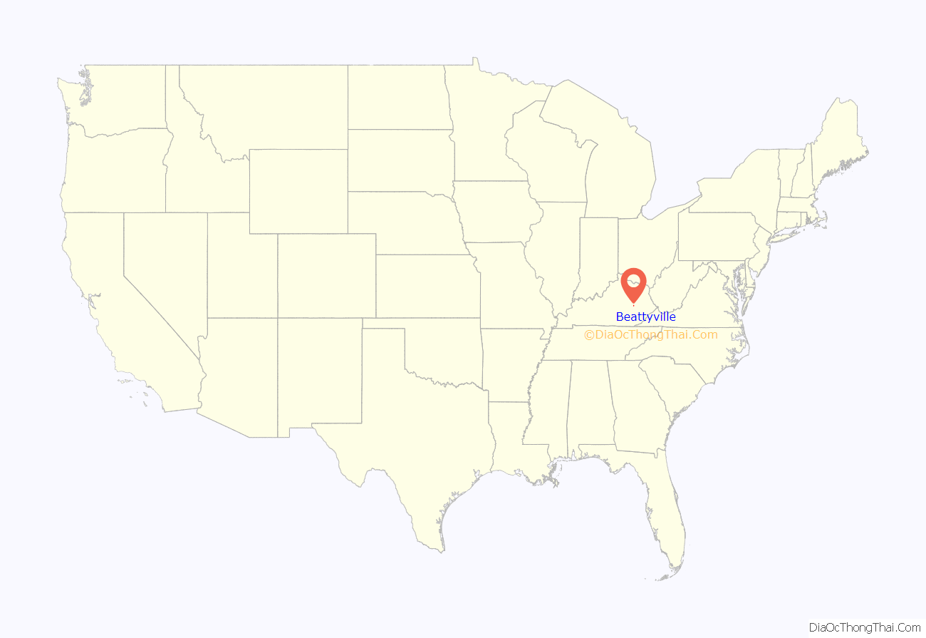
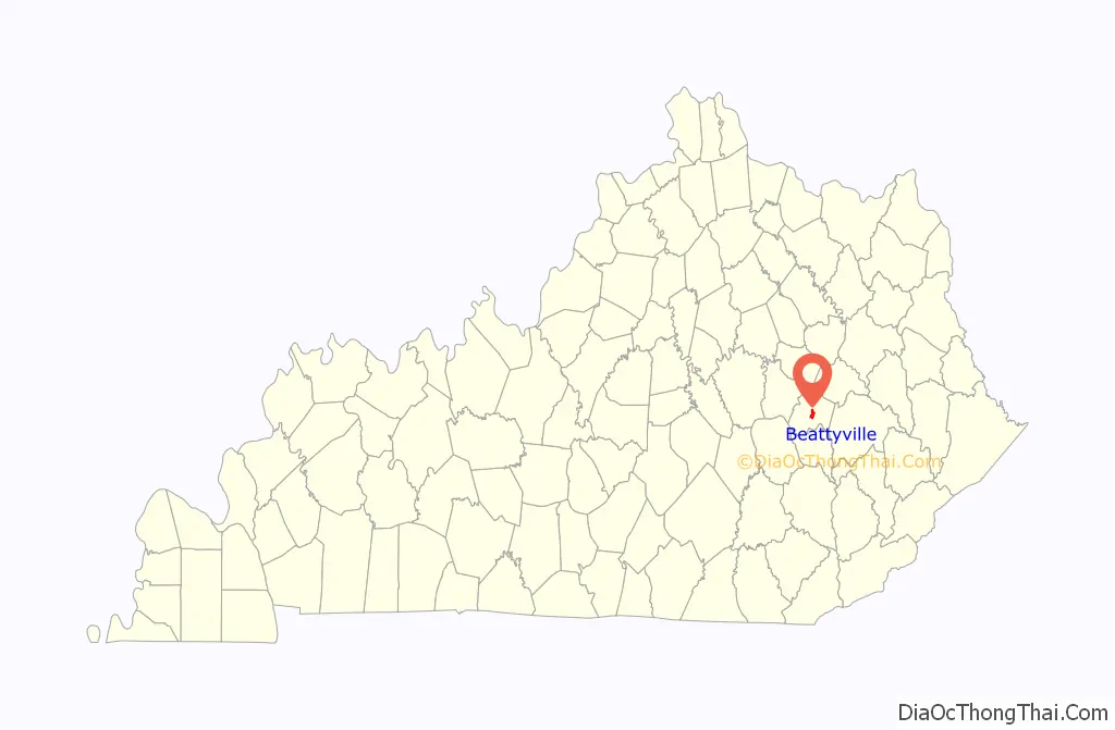
Beattyville location map. Where is Beattyville city?
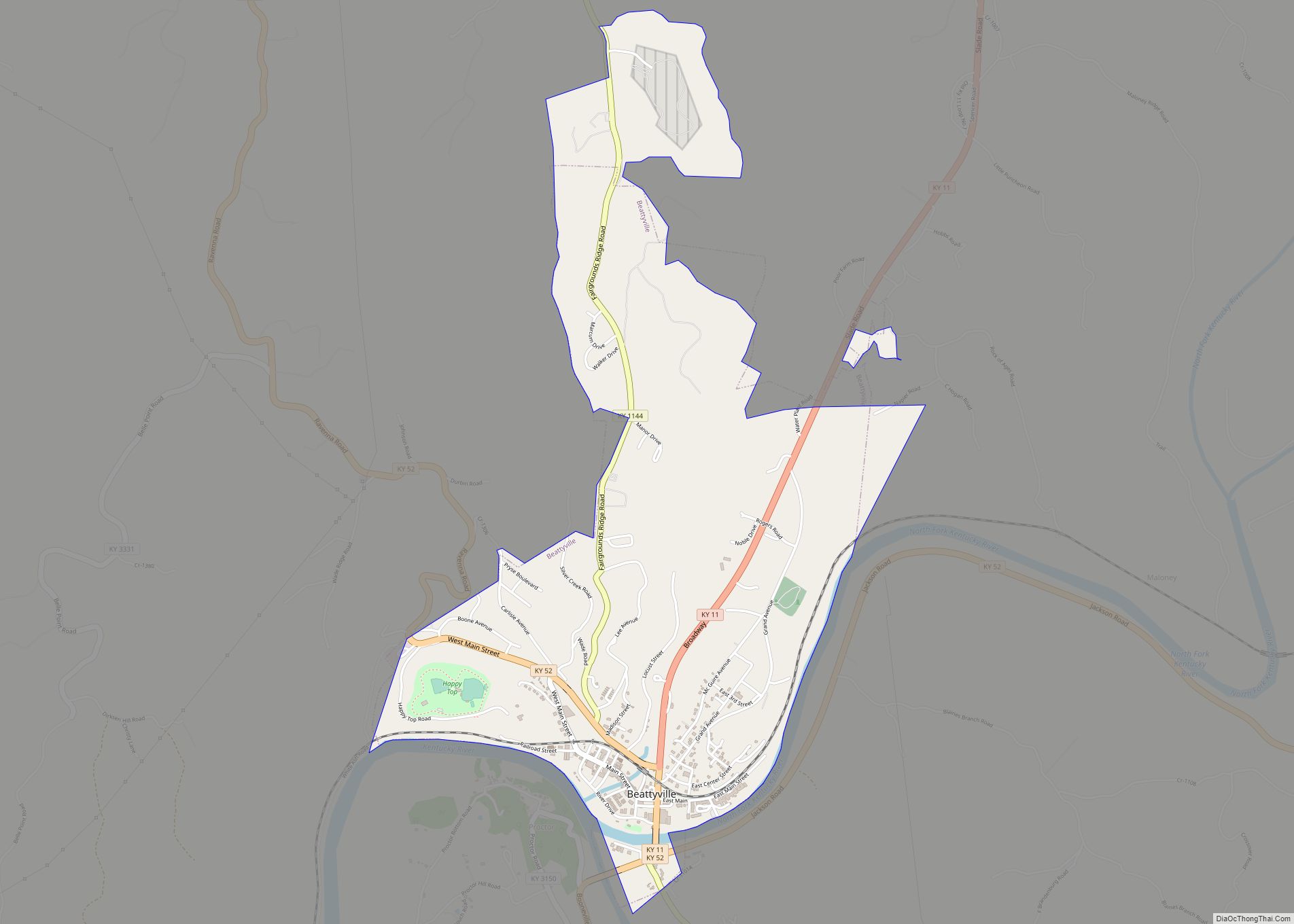
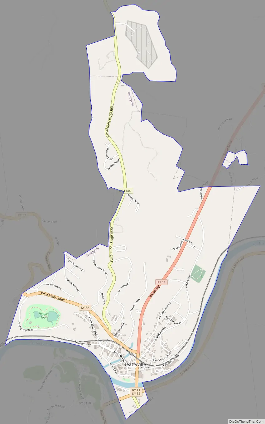
Beattyville Road Map
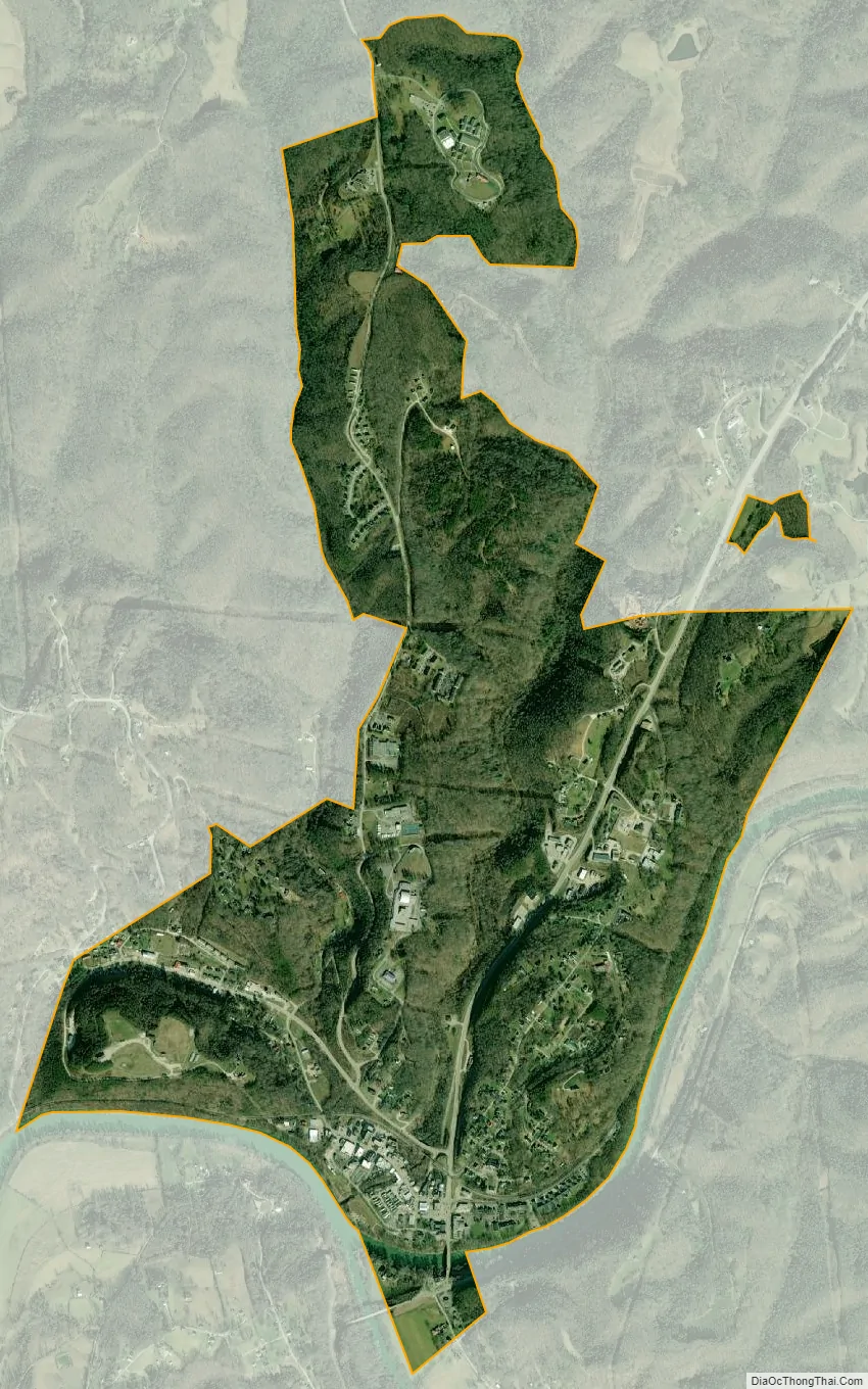
Beattyville city Satellite Map
Geography
Beattyville is in central Lee County at the confluence of the North and South Forks of the Kentucky River, a tributary of the Ohio River in central Appalachia.
Kentucky Route 11 passes through the city, crossing the North and South Forks of the Kentucky on separate bridges. The highway leads north 30 miles (48 km) to Stanton and south 45 miles (72 km) to Manchester. Kentucky Route 52 joins KY 11 to cross the North Fork of the Kentucky River but leads northwest 22 miles (35 km) to Irvine and east 24 miles (39 km) to Jackson.
According to the United States Census Bureau, the city has a total area of 2.3 square miles (6.0 km), of which 0.01 square miles (0.02 km), or 0.41%, are water.
Climate
The climate in this area is characterized by hot, humid summers and generally mild to cool winters. According to the Köppen Climate Classification system, Beattyville has a humid subtropical climate, abbreviated “Cfa” on climate maps.
See also
Map of Kentucky State and its subdivision:- Adair
- Allen
- Anderson
- Ballard
- Barren
- Bath
- Bell
- Boone
- Bourbon
- Boyd
- Boyle
- Bracken
- Breathitt
- Breckinridge
- Bullitt
- Butler
- Caldwell
- Calloway
- Campbell
- Carlisle
- Carroll
- Carter
- Casey
- Christian
- Clark
- Clay
- Clinton
- Crittenden
- Cumberland
- Daviess
- Edmonson
- Elliott
- Estill
- Fayette
- Fleming
- Floyd
- Franklin
- Fulton
- Gallatin
- Garrard
- Grant
- Graves
- Grayson
- Green
- Greenup
- Hancock
- Hardin
- Harlan
- Harrison
- Hart
- Henderson
- Henry
- Hickman
- Hopkins
- Jackson
- Jefferson
- Jessamine
- Johnson
- Kenton
- Knott
- Knox
- Larue
- Laurel
- Lawrence
- Lee
- Leslie
- Letcher
- Lewis
- Lincoln
- Livingston
- Logan
- Lyon
- Madison
- Magoffin
- Marion
- Marshall
- Martin
- Mason
- McCracken
- McCreary
- McLean
- Meade
- Menifee
- Mercer
- Metcalfe
- Monroe
- Montgomery
- Morgan
- Muhlenberg
- Nelson
- Nicholas
- Ohio
- Oldham
- Owen
- Owsley
- Pendleton
- Perry
- Pike
- Powell
- Pulaski
- Robertson
- Rockcastle
- Rowan
- Russell
- Scott
- Shelby
- Simpson
- Spencer
- Taylor
- Todd
- Trigg
- Trimble
- Union
- Warren
- Washington
- Wayne
- Webster
- Whitley
- Wolfe
- Woodford
- Alabama
- Alaska
- Arizona
- Arkansas
- California
- Colorado
- Connecticut
- Delaware
- District of Columbia
- Florida
- Georgia
- Hawaii
- Idaho
- Illinois
- Indiana
- Iowa
- Kansas
- Kentucky
- Louisiana
- Maine
- Maryland
- Massachusetts
- Michigan
- Minnesota
- Mississippi
- Missouri
- Montana
- Nebraska
- Nevada
- New Hampshire
- New Jersey
- New Mexico
- New York
- North Carolina
- North Dakota
- Ohio
- Oklahoma
- Oregon
- Pennsylvania
- Rhode Island
- South Carolina
- South Dakota
- Tennessee
- Texas
- Utah
- Vermont
- Virginia
- Washington
- West Virginia
- Wisconsin
- Wyoming