Bardwell is a home rule-class city in and the county seat of Carlisle County, Kentucky, United States. The city was formally incorporated by the state assembly in 1878. The population was 714 at the 2020 census, down from 723 in 2010.
| Name: | Bardwell city |
|---|---|
| LSAD Code: | 25 |
| LSAD Description: | city (suffix) |
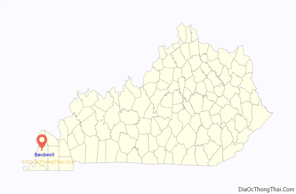
| State: | Kentucky |
| County: | Carlisle County |
| Elevation: | 361 ft (110 m) |
| Total Area: | 0.87 sq mi (2.24 km²) |
| Land Area: | 0.86 sq mi (2.24 km²) |
| Water Area: | 0.00 sq mi (0.01 km²) |
| Total Population: | 714 |
| Population Density: | 826.39/sq mi (318.91/km²) |
| ZIP code: | 42023 |
| FIPS code: | 2103664 |
| GNISfeature ID: | 0486336 |
Online Interactive Map
Click on ![]() to view map in "full screen" mode.
to view map in "full screen" mode.
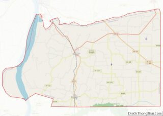
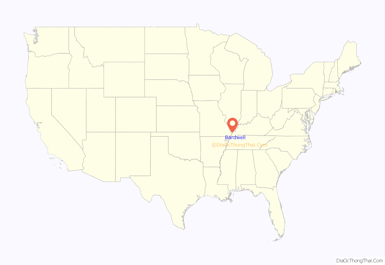
Bardwell location map. Where is Bardwell city?
History
Bardwell was founded in 1874 when a predecessor rail line of the Illinois Central Railroad was extended to that point. It may have initially been known as “Crittenden” after Governor John J. Crittenden, but that name was already in use elsewhere in the state, so the name was changed to “Bardwell.” According to some sources, “Bardwell” was the name of a railroad superintendent whose name had been applied to a railroad construction camp near the town site. Other sources suggest the name was inspired by a “boarded well” at the camp.
During their session of 1877–1878, the Kentucky General Assembly passed an act incorporating Bardwell. The original municipal boundaries consisted of a circle with a radius of 0.5 miles (0.80 km), centered on the local train station for the Illinois Central Railroad.
Upon the creation of Carlisle County in 1886, the nearby city of Arlington was initially named the seat of the new county. Bardwell challenged this decision, however, and due to Bardwell’s more central location, county officials agreed, and moved the seat to Bardwell.
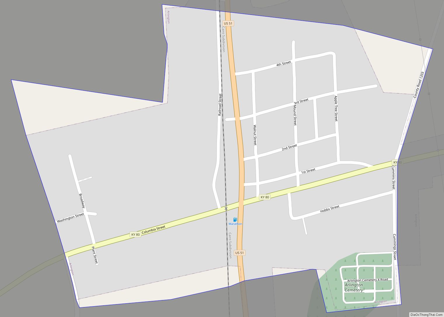
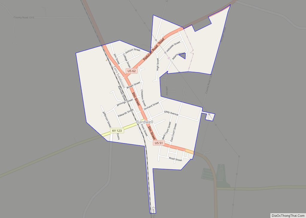
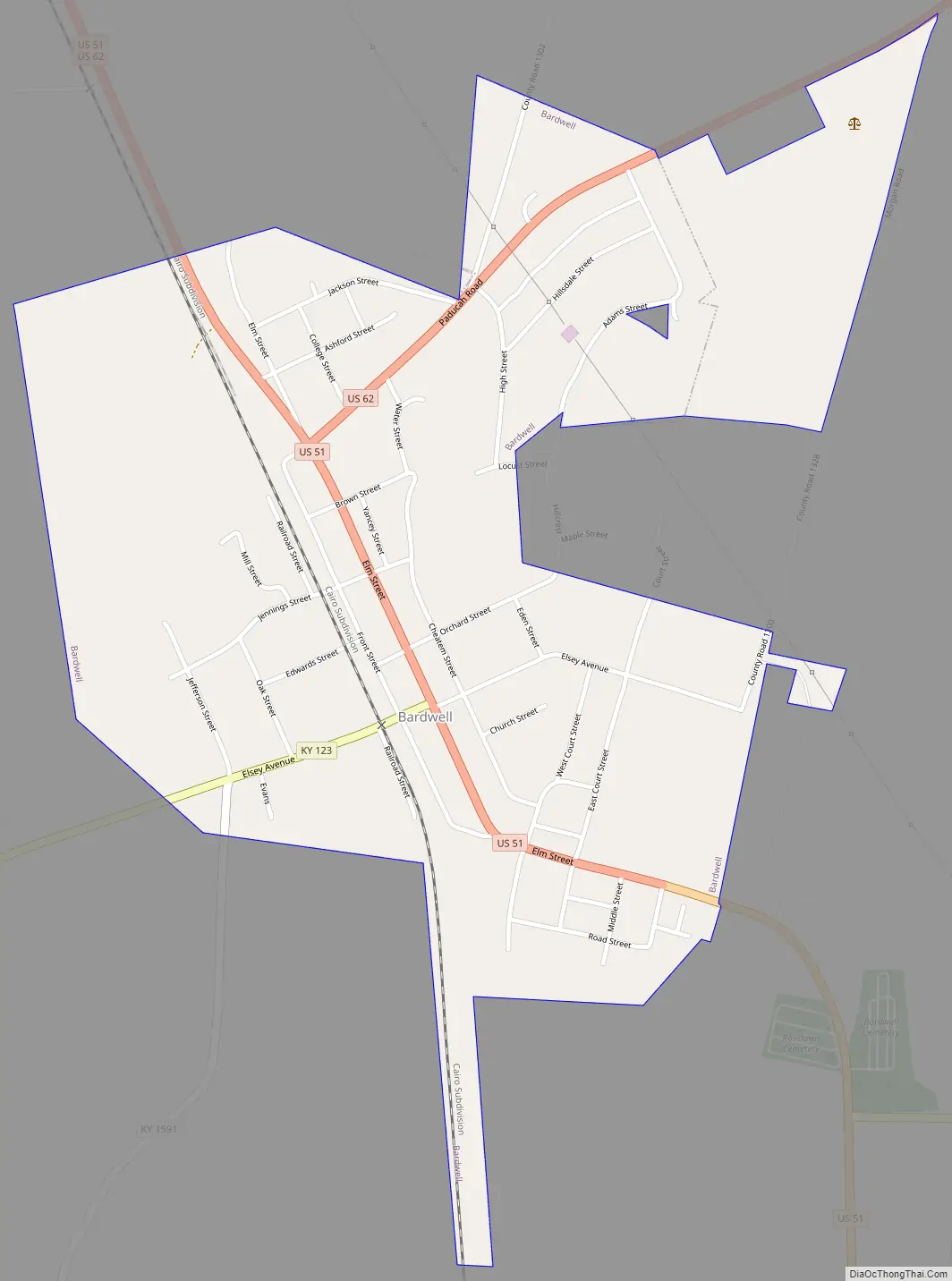
Bardwell Road Map
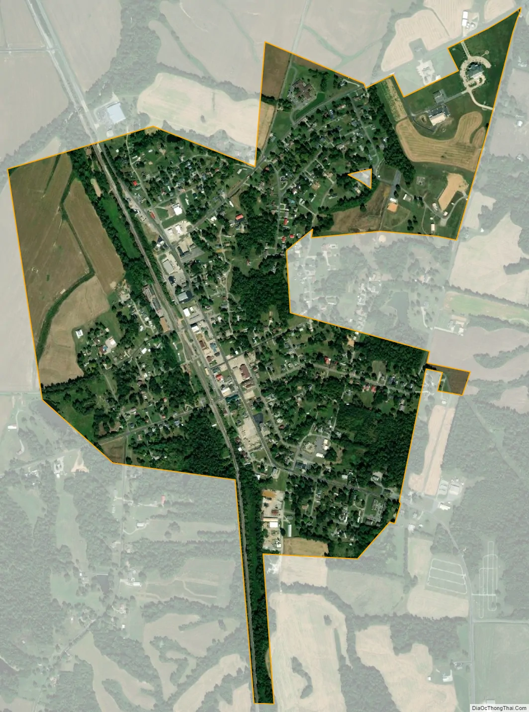
Bardwell city Satellite Map
Geography
Bardwell is located northwest of the center of Carlisle County at 36°52′22″N 89°0′36″W / 36.87278°N 89.01000°W / 36.87278; -89.01000 (36.872690, -89.010026). U.S. Routes 51 and 62 intersect in the northern part of the city. US 51 leads south 29 miles (47 km) to Fulton on the Tennessee line, while US 62 leads northeast 30 miles (48 km) to Paducah on the Ohio River. The two highways together lead northwest 8 miles (13 km) to Wickliffe on the Mississippi River.
According to the United States Census Bureau, Bardwell has a total area of 0.89 square miles (2.3 km), all of it land.
See also
Map of Kentucky State and its subdivision:- Adair
- Allen
- Anderson
- Ballard
- Barren
- Bath
- Bell
- Boone
- Bourbon
- Boyd
- Boyle
- Bracken
- Breathitt
- Breckinridge
- Bullitt
- Butler
- Caldwell
- Calloway
- Campbell
- Carlisle
- Carroll
- Carter
- Casey
- Christian
- Clark
- Clay
- Clinton
- Crittenden
- Cumberland
- Daviess
- Edmonson
- Elliott
- Estill
- Fayette
- Fleming
- Floyd
- Franklin
- Fulton
- Gallatin
- Garrard
- Grant
- Graves
- Grayson
- Green
- Greenup
- Hancock
- Hardin
- Harlan
- Harrison
- Hart
- Henderson
- Henry
- Hickman
- Hopkins
- Jackson
- Jefferson
- Jessamine
- Johnson
- Kenton
- Knott
- Knox
- Larue
- Laurel
- Lawrence
- Lee
- Leslie
- Letcher
- Lewis
- Lincoln
- Livingston
- Logan
- Lyon
- Madison
- Magoffin
- Marion
- Marshall
- Martin
- Mason
- McCracken
- McCreary
- McLean
- Meade
- Menifee
- Mercer
- Metcalfe
- Monroe
- Montgomery
- Morgan
- Muhlenberg
- Nelson
- Nicholas
- Ohio
- Oldham
- Owen
- Owsley
- Pendleton
- Perry
- Pike
- Powell
- Pulaski
- Robertson
- Rockcastle
- Rowan
- Russell
- Scott
- Shelby
- Simpson
- Spencer
- Taylor
- Todd
- Trigg
- Trimble
- Union
- Warren
- Washington
- Wayne
- Webster
- Whitley
- Wolfe
- Woodford
- Alabama
- Alaska
- Arizona
- Arkansas
- California
- Colorado
- Connecticut
- Delaware
- District of Columbia
- Florida
- Georgia
- Hawaii
- Idaho
- Illinois
- Indiana
- Iowa
- Kansas
- Kentucky
- Louisiana
- Maine
- Maryland
- Massachusetts
- Michigan
- Minnesota
- Mississippi
- Missouri
- Montana
- Nebraska
- Nevada
- New Hampshire
- New Jersey
- New Mexico
- New York
- North Carolina
- North Dakota
- Ohio
- Oklahoma
- Oregon
- Pennsylvania
- Rhode Island
- South Carolina
- South Dakota
- Tennessee
- Texas
- Utah
- Vermont
- Virginia
- Washington
- West Virginia
- Wisconsin
- Wyoming