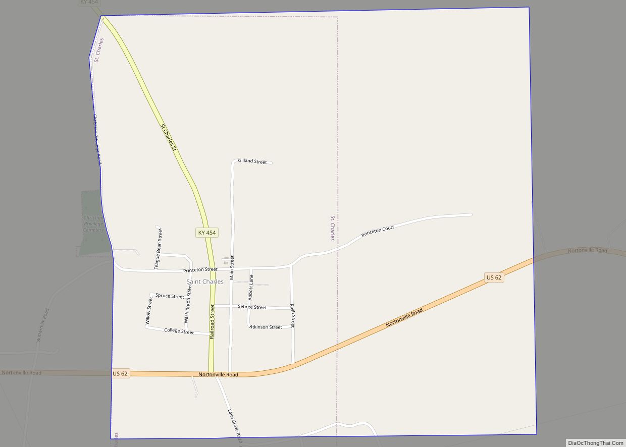
St. Charles is a home rule-class city in Hopkins County, Kentucky, United States. The population was 277 at the 2010 U.S. Census. St. Charles city overview: Name: St. Charles city LSAD Code: 25 LSAD Description: city (suffix) State: Kentucky County: Hopkins County Elevation: 440 ft (134 m) Total Area: 1.00 sq mi (2.59 km²) Land Area: 0.99 sq mi (2.57 km²) Water Area: ... Read more
Kentucky Cities and Places
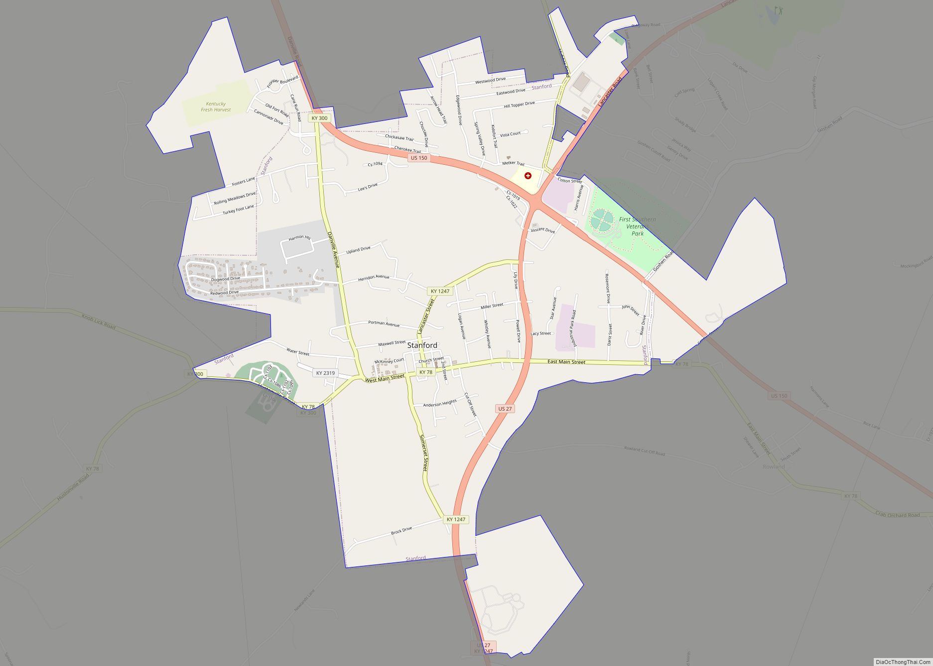
Stanford is a home rule-class city in Lincoln County, Kentucky, United States. It is one of the oldest settlements in Kentucky, having been founded in 1775. Its population was 3,487 at the 2010 census and an estimated 3,686 in 2018. It is the county seat of Lincoln County. Stanford is part of the Danville Micropolitan ... Read more
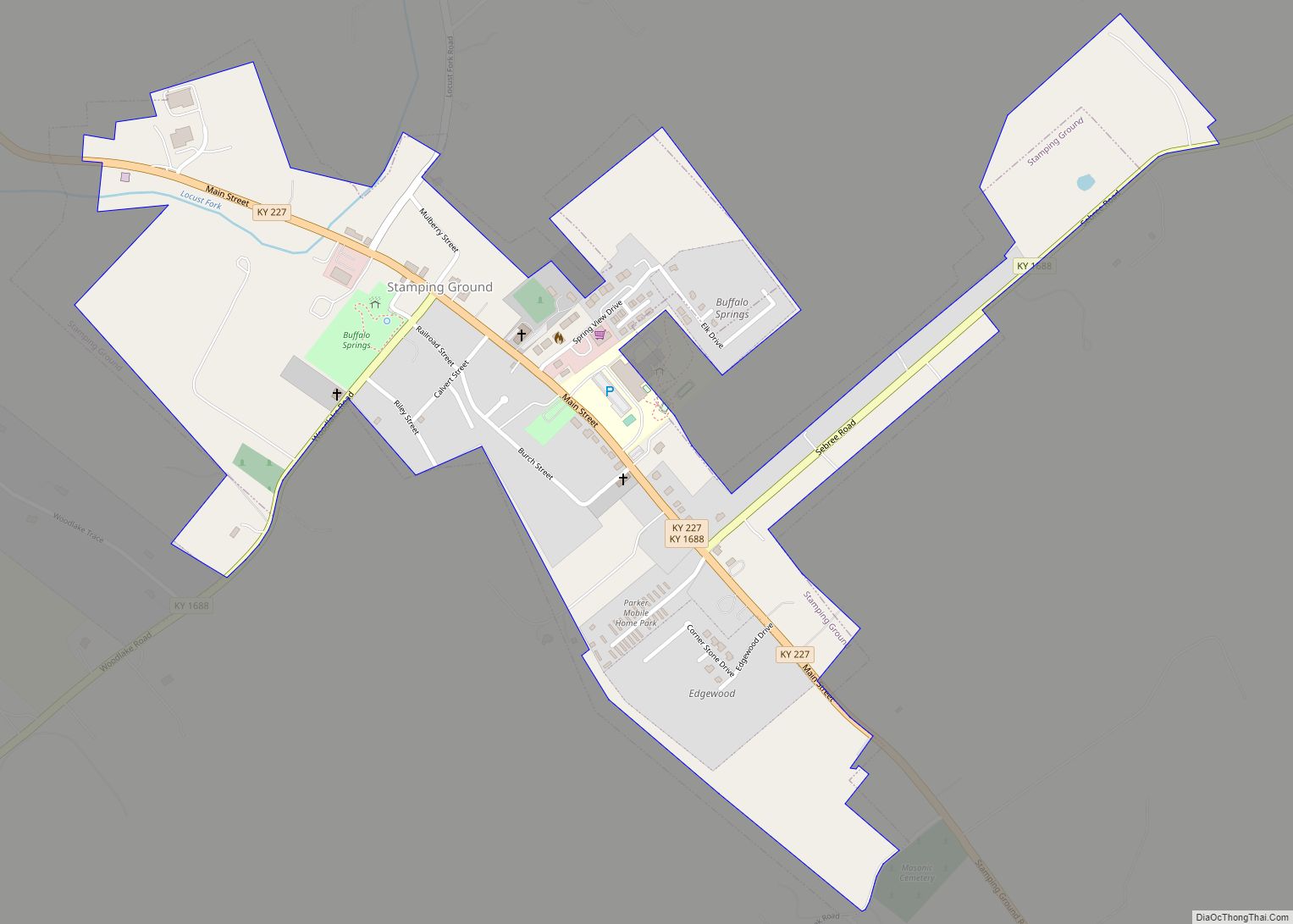
Stamping Ground is a home rule-class city in Scott County, Kentucky, United States. The population was 643 at the 2010 census. It is part of the Lexington–Fayette Metropolitan Statistical Area. Stamping Ground city overview: Name: Stamping Ground city LSAD Code: 25 LSAD Description: city (suffix) State: Kentucky County: Scott County Elevation: 794 ft (242 m) Total Area: ... Read more
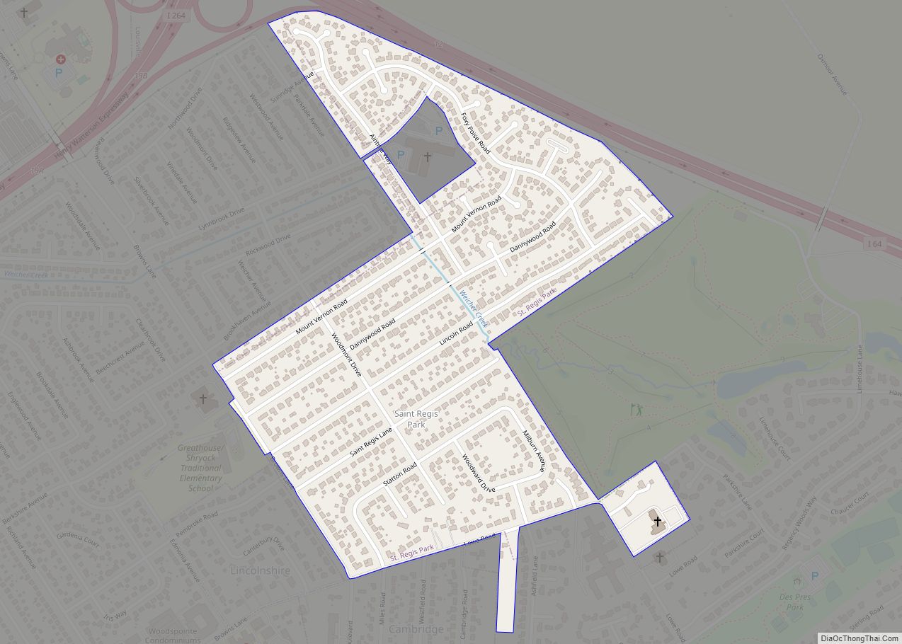
St. Regis Park is a home rule-class city in Jefferson County, Kentucky, United States, and a part of the Louisville Metro government. The population was 1,454 as of the 2010 census. St. Regis Park city overview: Name: St. Regis Park city LSAD Code: 25 LSAD Description: city (suffix) State: Kentucky County: Jefferson County Incorporated: 1953 ... Read more
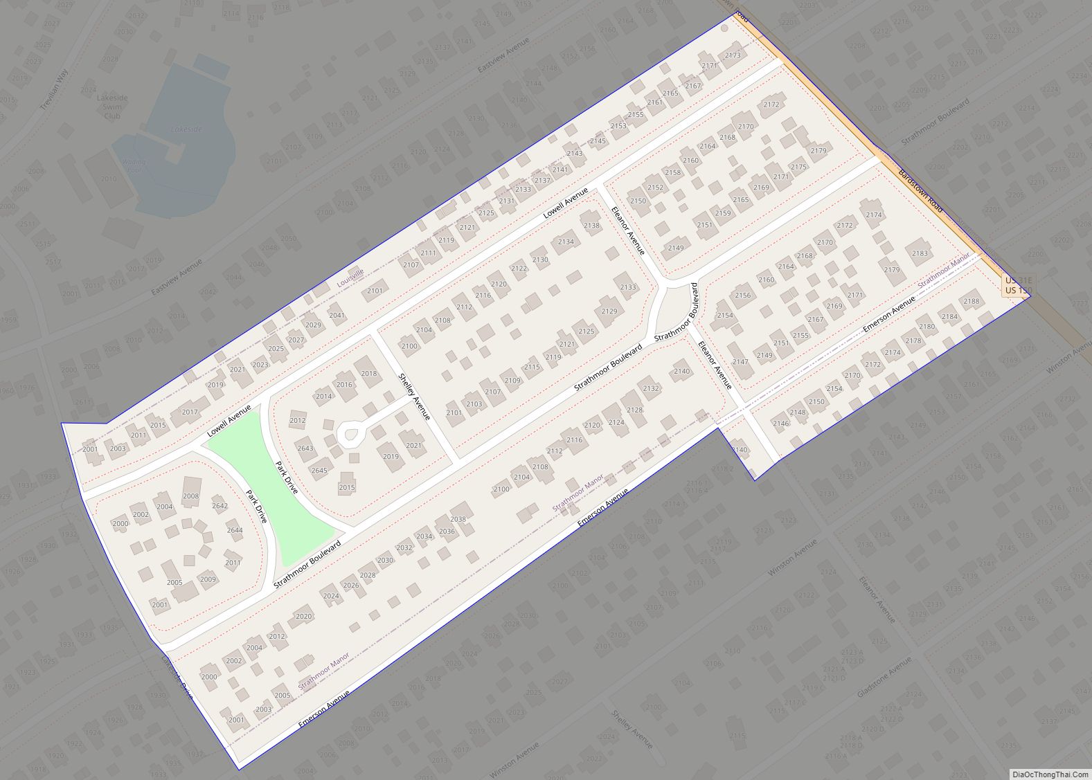
Strathmoor Manor is a home rule-class city in Jefferson County, Kentucky, United States. The population was 337 at the 2010 census. The city is characterized by tree-lined streets and wide setbacks. Strathmoor Manor city overview: Name: Strathmoor Manor city LSAD Code: 25 LSAD Description: city (suffix) State: Kentucky County: Jefferson County Incorporated: May 6, 1931 ... Read more
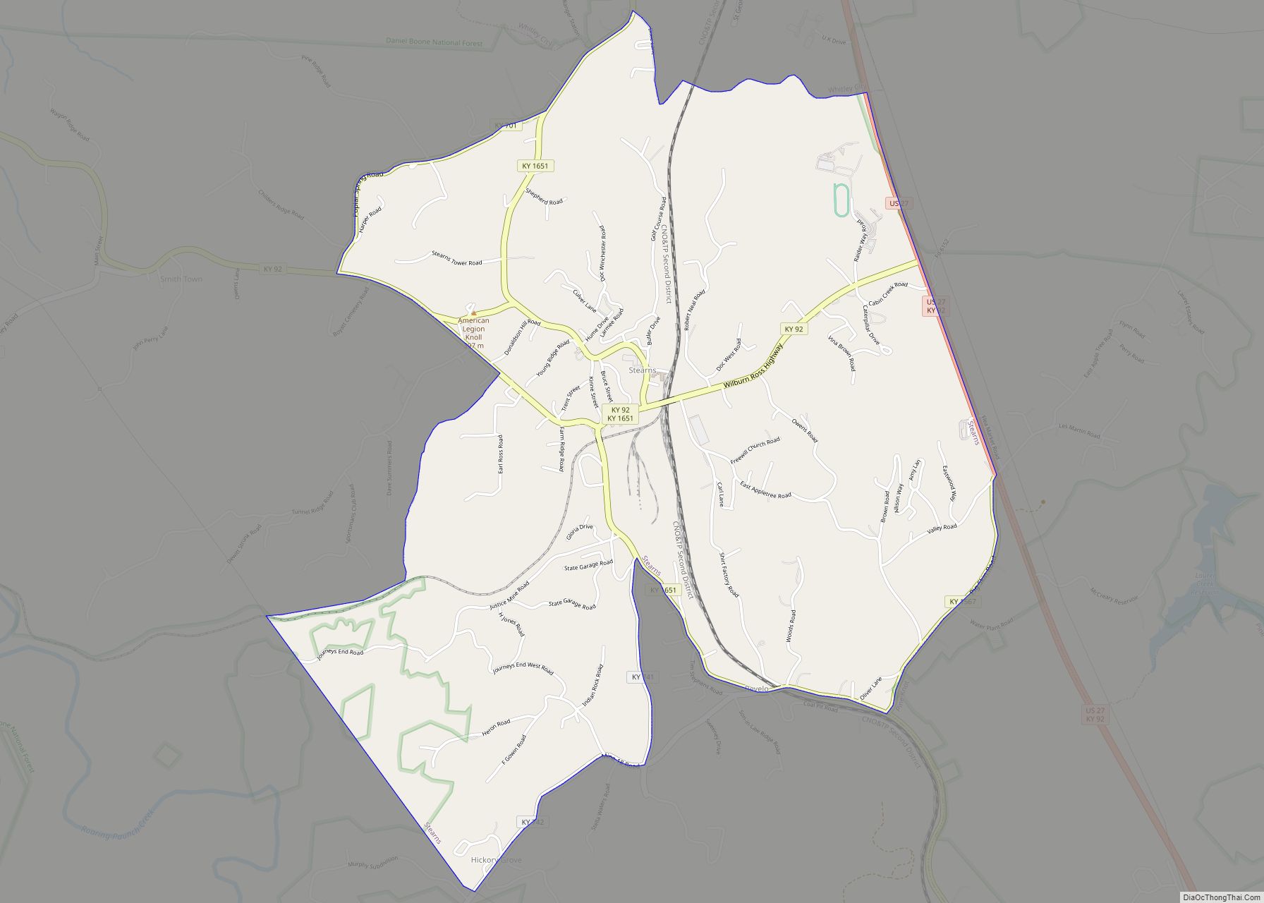
Stearns is an unincorporated community and census-designated place (CDP) in McCreary County, Kentucky, United States. The population was 1,365 at the 2020 census. It was founded by Justus Smith Stearns. Stearns CDP overview: Name: Stearns CDP LSAD Code: 57 LSAD Description: CDP (suffix) State: Kentucky County: McCreary County Elevation: 1,339 ft (408 m) Total Area: 4.05 sq mi (10.50 km²) ... Read more
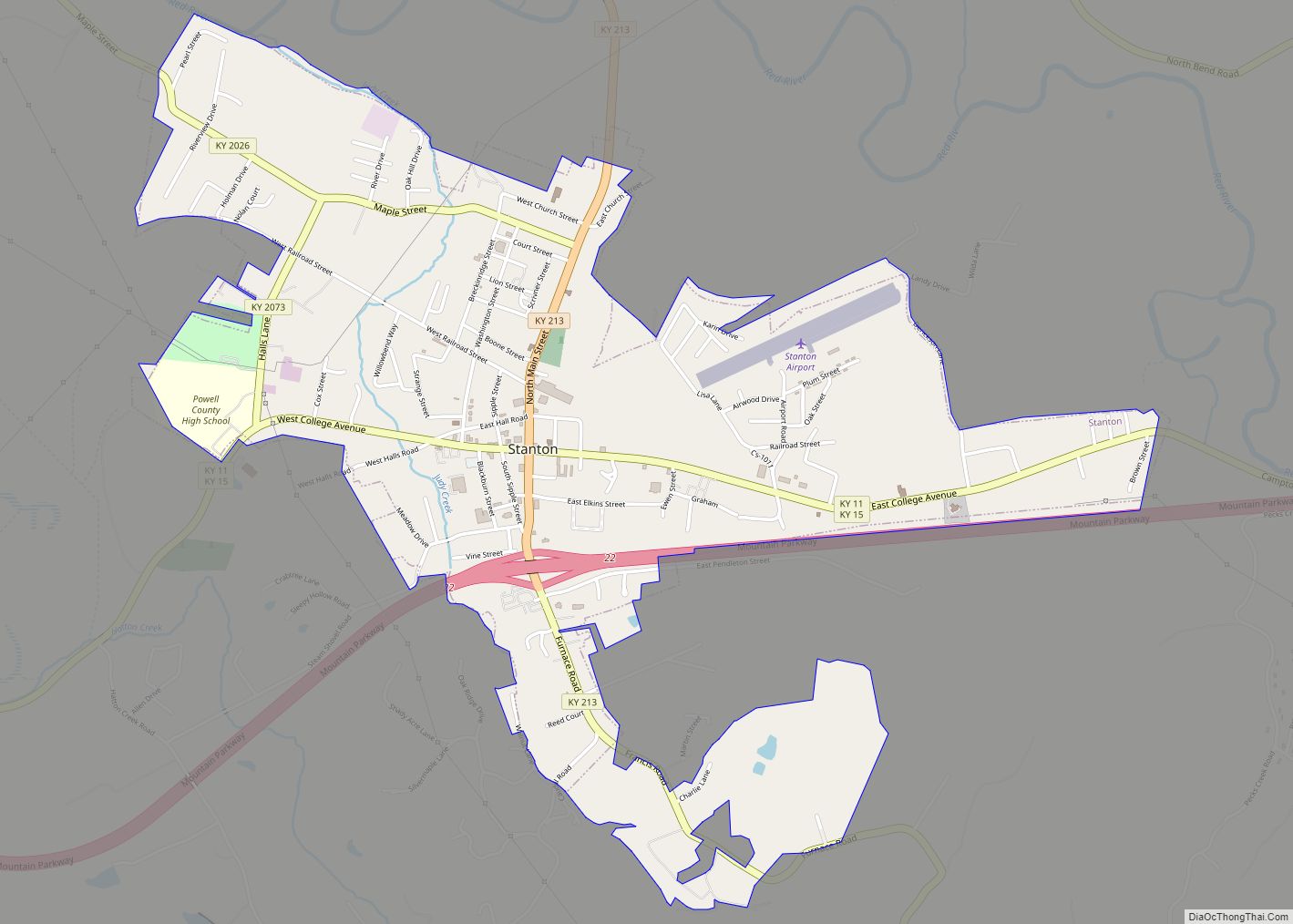
Stanton is a home rule-class city in and the county seat of Powell County, Kentucky, United States. The population was 2,733 at the 2010 census. Stanton is the birthplace of Hall of Fame thoroughbred horse trainer Woody Stephens. Stanton city overview: Name: Stanton city LSAD Code: 25 LSAD Description: city (suffix) State: Kentucky County: Powell ... Read more
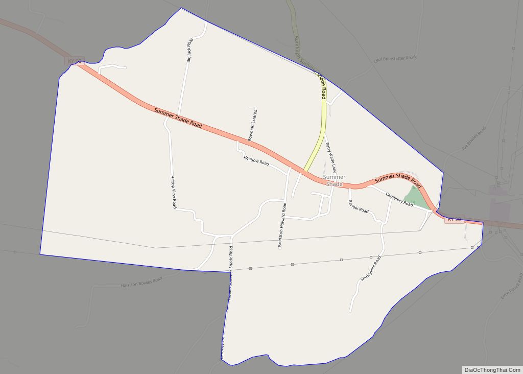
Summer Shade is an unincorporated community and census-designated place (CDP) in Metcalfe County, Kentucky, United States. As of the 2020 census, the population was 294. Summer Shade CDP overview: Name: Summer Shade CDP LSAD Code: 57 LSAD Description: CDP (suffix) State: Kentucky County: Metcalfe County Elevation: 896 ft (273 m) Total Area: 2.04 sq mi (5.28 km²) Land Area: 2.03 sq mi ... Read more
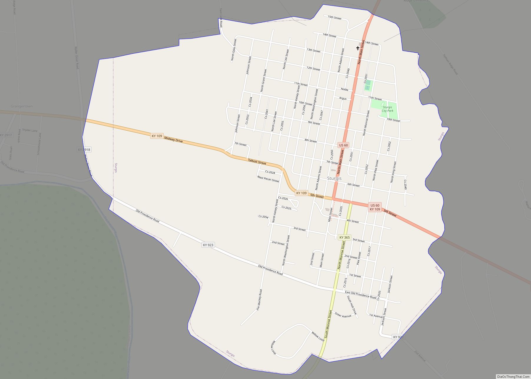
Sturgis is a home rule-class city in Union County, Kentucky, United States. The population was 1,898 at the 2010 census. Located in northwest Kentucky, the city was founded in 1890 and named for Samuel Sturgis, who owned the land now occupied by the city. Sturgis city overview: Name: Sturgis city LSAD Code: 25 LSAD Description: ... Read more
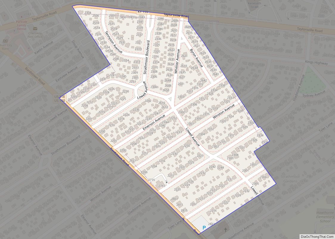
Strathmoor Village is a home rule-class city in Jefferson County, Kentucky, United States. The population was 648 at the 2010 census. Strathmoor Village city overview: Name: Strathmoor Village city LSAD Code: 25 LSAD Description: city (suffix) State: Kentucky County: Jefferson County Incorporated: 1928 Elevation: 551 ft (168 m) Total Area: 0.10 sq mi (0.27 km²) Land Area: 0.10 sq mi (0.27 km²) Water ... Read more
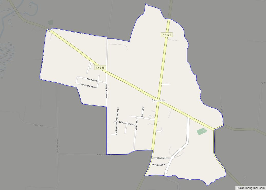
Symsonia is an unincorporated community and census-designated place (CDP) in Graves County, Kentucky, United States. The community lies in the far northeastern part of the county, 13 miles (21 km) southeast of Paducah, 11 miles (18 km) northwest of Benton, and 15 miles (24 km) northeast of the county seat Mayfield, in the Jackson Purchase region of the ... Read more
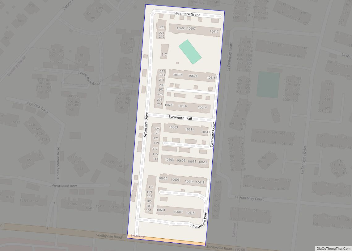
Sycamore is a home rule-class city in Jefferson County, Kentucky, United States. The population was 160 at the 2010 census. Sycamore city overview: Name: Sycamore city LSAD Code: 25 LSAD Description: city (suffix) State: Kentucky County: Jefferson County Elevation: 696 ft (212 m) Total Area: 0.02 sq mi (0.04 km²) Land Area: 0.02 sq mi (0.04 km²) Water Area: 0.00 sq mi (0.00 km²) Total Population: ... Read more
