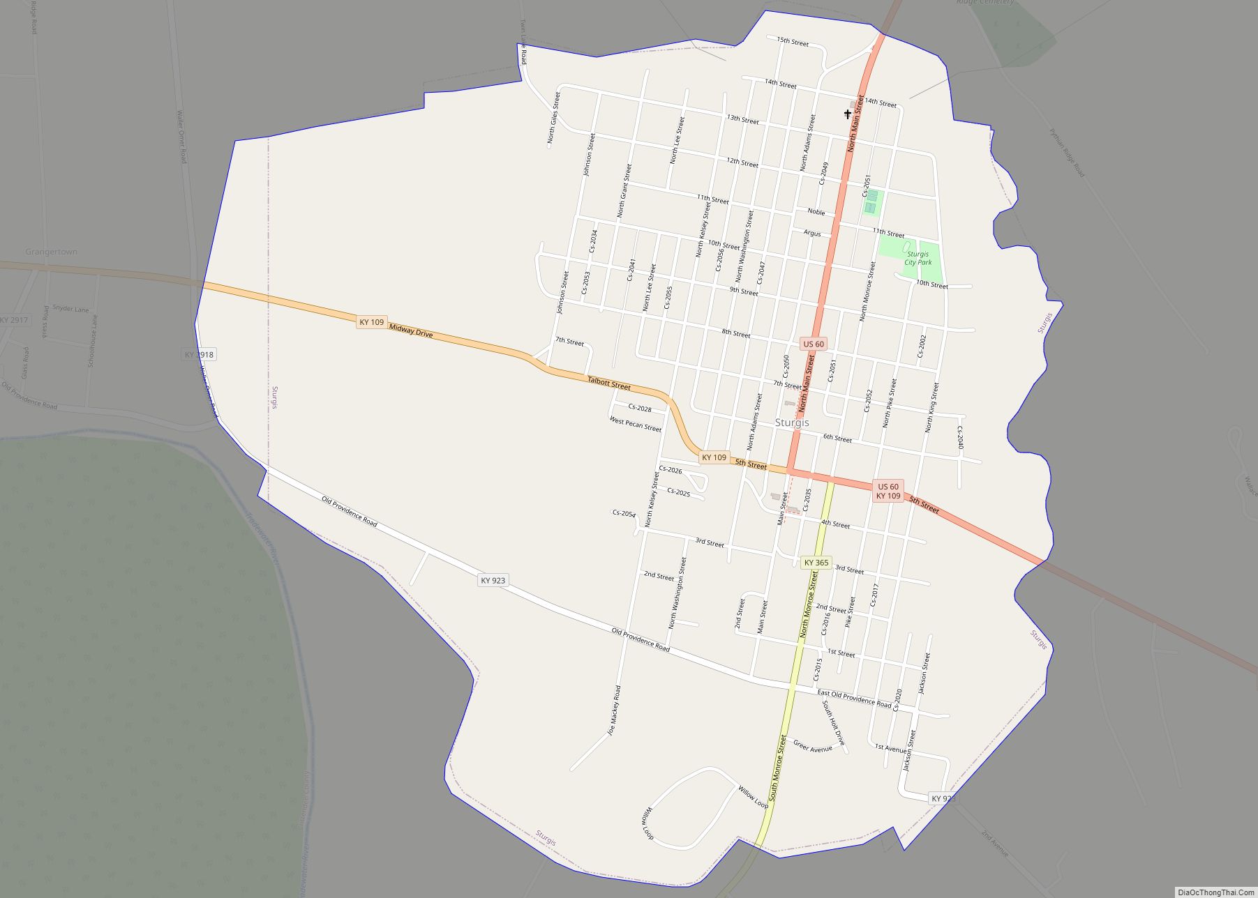
Sturgis is a home rule-class city in Union County, Kentucky, United States. The population was 1,898 at the 2010 census. Located in northwest Kentucky, the city was founded in 1890 and named for Samuel Sturgis, who owned the land now occupied by the city.
| Name: | Sturgis city |
|---|---|
| LSAD Code: | 25 |
| LSAD Description: | city (suffix) |
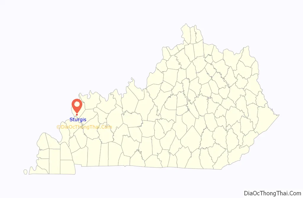
| State: | Kentucky |
| County: | Union County |
| Elevation: | 371 ft (113 m) |
| Total Area: | 1.57 sq mi (4.07 km²) |
| Land Area: | 1.57 sq mi (4.06 km²) |
| Water Area: | 0.00 sq mi (0.01 km²) |
| Total Population: | 1,735 |
| Population Density: | 1,107.92/sq mi (427.65/km²) |
| ZIP code: | 42459 |
| Area code: | 270 |
| FIPS code: | 2174316 |
| GNISfeature ID: | 0504617 |
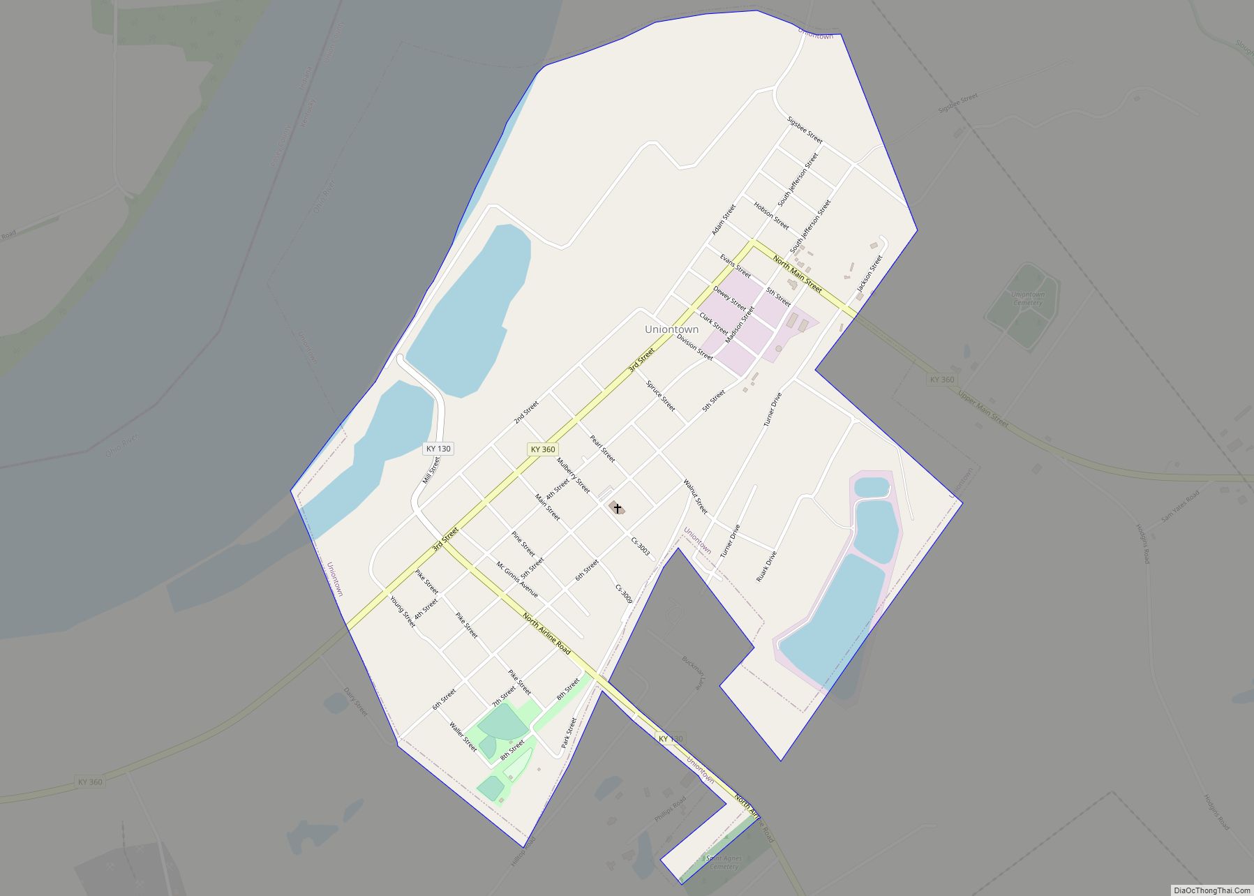
Online Interactive Map
Click on ![]() to view map in "full screen" mode.
to view map in "full screen" mode.
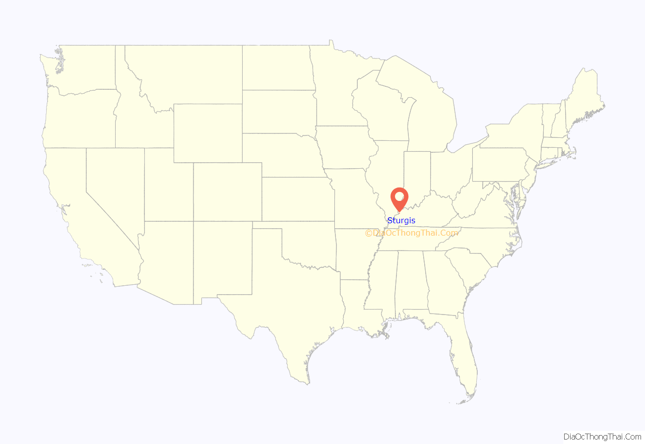
Sturgis location map. Where is Sturgis city?
History
The area surrounding what would become Sturgis was first settled by American Revolutionary War officers, mostly from Virginia, who had received bounty land for their service. The History of Union County, published in 1886 by The Courier Co., says, “The county had its aristocrats but the [Civil] War had a decidedly leveling tendency yet, there is a tolerably well defined line still marking the society of the county into different sets.”
Sturgis was founded the same year as a company town by the Cumberland Land and Iron Company within its coal-mining development. The name derives from either Samuel P. Sturgis, who originally owned the townsite, or for Alida Livingston Sturgis (Samuel’s sister), who was married to the president and general manager of the Ohio Valley Railroad Company. The community incorporated as a town on May 3, 1890, with population of 327. The town was reclassified as a city in the 1920s.
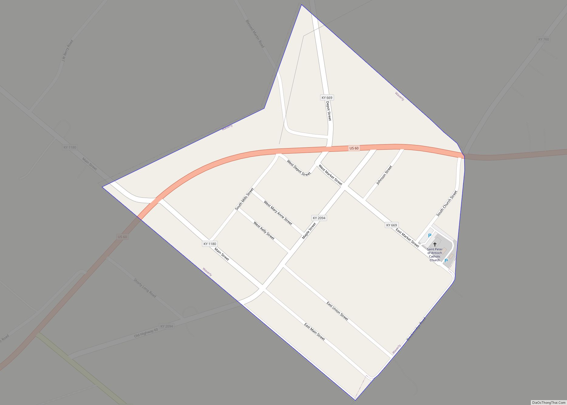
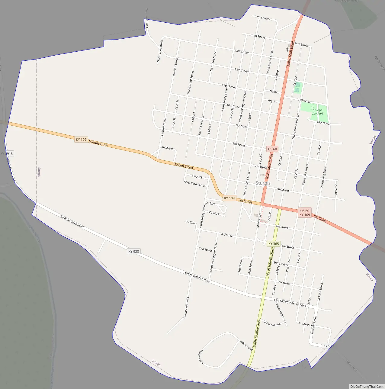
Sturgis Road Map
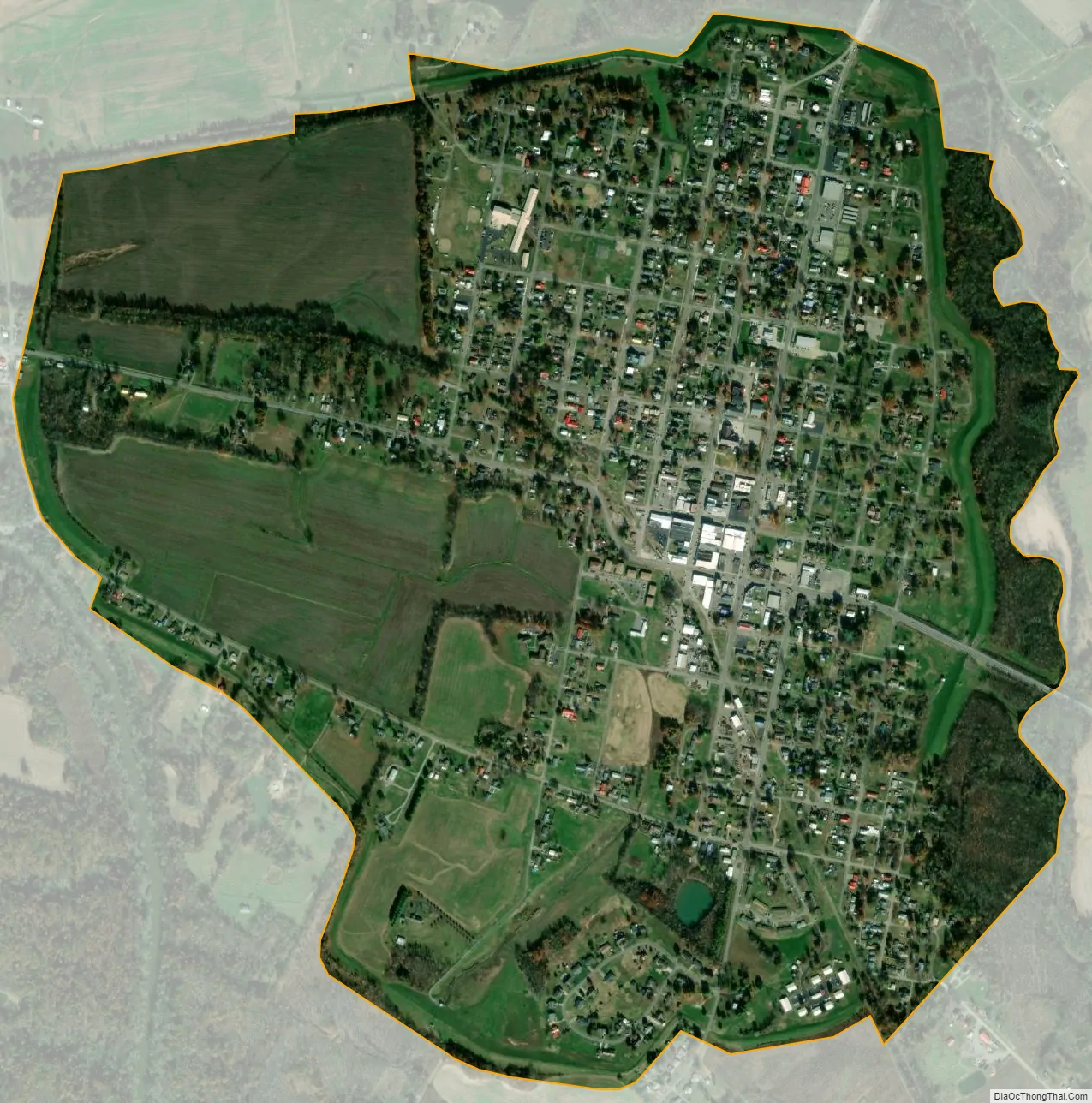
Sturgis city Satellite Map
Geography
Sturgis is located at 37°32′54″N 87°59′4″W / 37.54833°N 87.98444°W / 37.54833; -87.98444 (37.548269, -87.984535).
According to the United States Census Bureau, the city has a total area of 1.5 square miles (3.9 km), all land.
See also
Map of Kentucky State and its subdivision:- Adair
- Allen
- Anderson
- Ballard
- Barren
- Bath
- Bell
- Boone
- Bourbon
- Boyd
- Boyle
- Bracken
- Breathitt
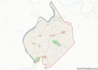
- Breckinridge
- Bullitt
- Butler
- Caldwell
- Calloway
- Campbell
- Carlisle
- Carroll
- Carter
- Casey
- Christian
- Clark
- Clay
- Clinton
- Crittenden
- Cumberland
- Daviess
- Edmonson
- Elliott
- Estill
- Fayette
- Fleming
- Floyd
- Franklin
- Fulton
- Gallatin
- Garrard
- Grant
- Graves
- Grayson
- Green
- Greenup
- Hancock
- Hardin
- Harlan
- Harrison
- Hart
- Henderson
- Henry
- Hickman
- Hopkins
- Jackson
- Jefferson
- Jessamine
- Johnson
- Kenton
- Knott
- Knox
- Larue
- Laurel
- Lawrence
- Lee
- Leslie
- Letcher
- Lewis
- Lincoln
- Livingston
- Logan
- Lyon
- Madison
- Magoffin
- Marion
- Marshall
- Martin
- Mason
- McCracken
- McCreary
- McLean
- Meade
- Menifee
- Mercer
- Metcalfe
- Monroe
- Montgomery
- Morgan
- Muhlenberg
- Nelson
- Nicholas
- Ohio
- Oldham
- Owen
- Owsley
- Pendleton
- Perry
- Pike
- Powell
- Pulaski
- Robertson
- Rockcastle
- Rowan
- Russell
- Scott
- Shelby
- Simpson
- Spencer
- Taylor
- Todd
- Trigg
- Trimble
- Union
- Warren
- Washington
- Wayne
- Webster
- Whitley
- Wolfe
- Woodford
- Alabama
- Alaska
- Arizona
- Arkansas
- California
- Colorado
- Connecticut
- Delaware
- District of Columbia
- Florida
- Georgia
- Hawaii
- Idaho
- Illinois
- Indiana
- Iowa
- Kansas
- Kentucky
- Louisiana
- Maine
- Maryland
- Massachusetts
- Michigan
- Minnesota
- Mississippi
- Missouri
- Montana
- Nebraska
- Nevada
- New Hampshire
- New Jersey
- New Mexico
- New York
- North Carolina
- North Dakota
- Ohio
- Oklahoma
- Oregon
- Pennsylvania
- Rhode Island
- South Carolina
- South Dakota
- Tennessee
- Texas
- Utah
- Vermont
- Virginia
- Washington
- West Virginia
- Wisconsin
- Wyoming