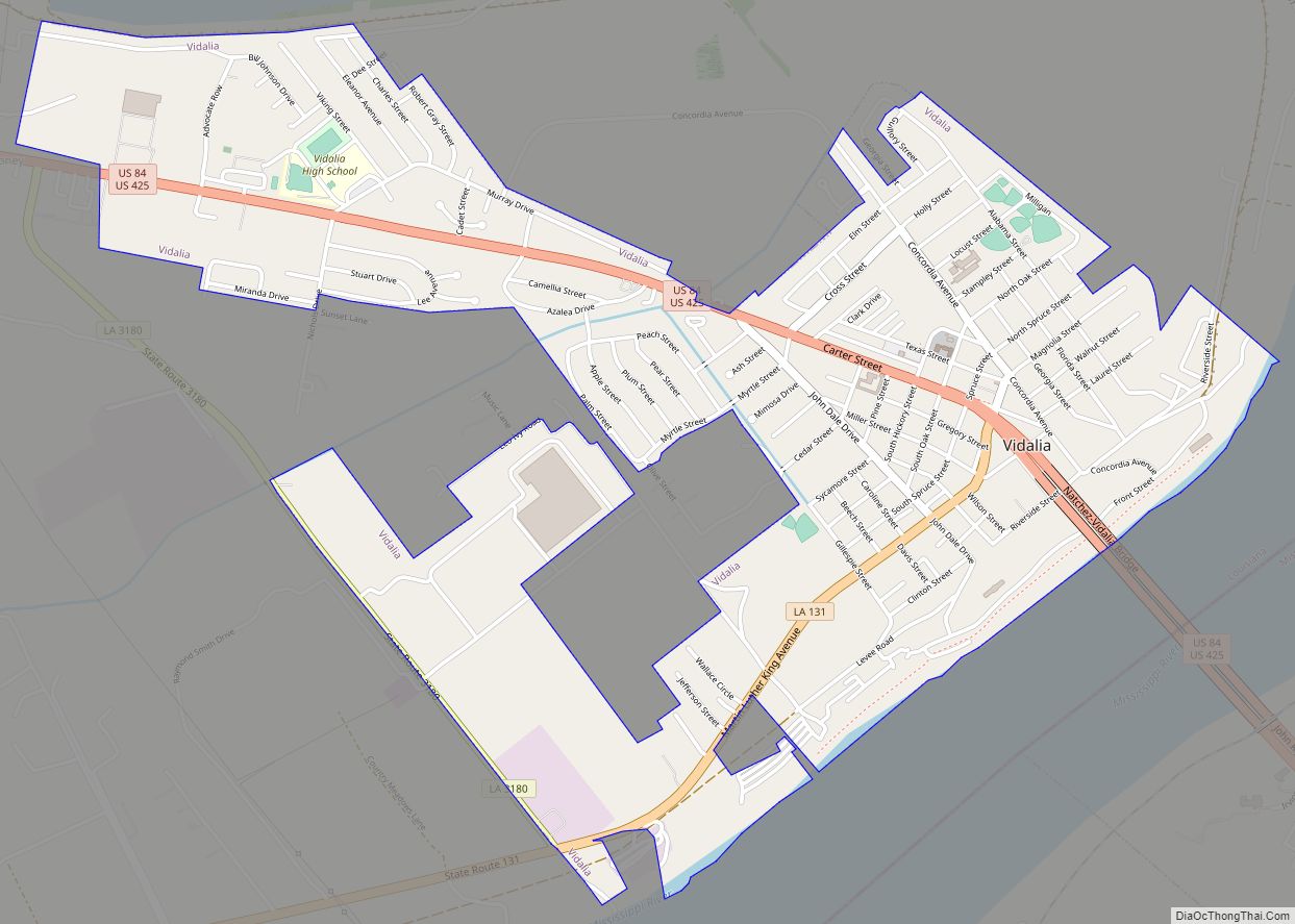
Vidalia is the largest city and the parish seat of Concordia Parish, Louisiana, United States. The population was 4,299 as of the 2010 census. Vidalia is located on the west bank of the Mississippi River. The city of Natchez, Mississippi, lies on the opposite bank of the river, connected by the Natchez–Vidalia Bridge, carrying U.S. ... Read more
Louisiana Cities and Places
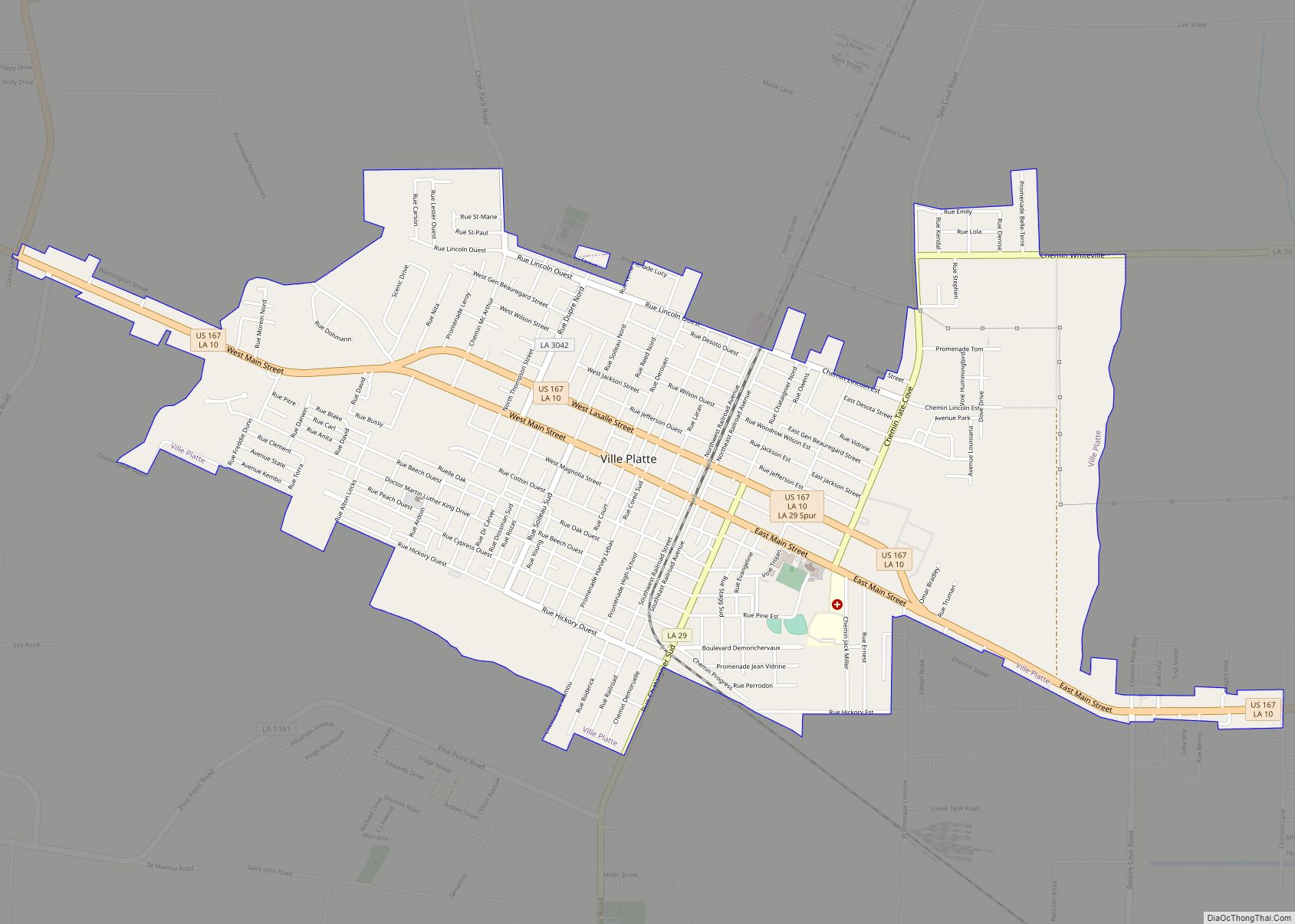
Ville Platte is the largest city in, and the parish seat of, Evangeline Parish, Louisiana, United States. The population was 7,430 at the 2010 census, down from 8,145 in 2000. The city’s name is of French origin, roughly translating to “flat town”, in reference to its relatively flat topography in contrast to the more hilly ... Read more
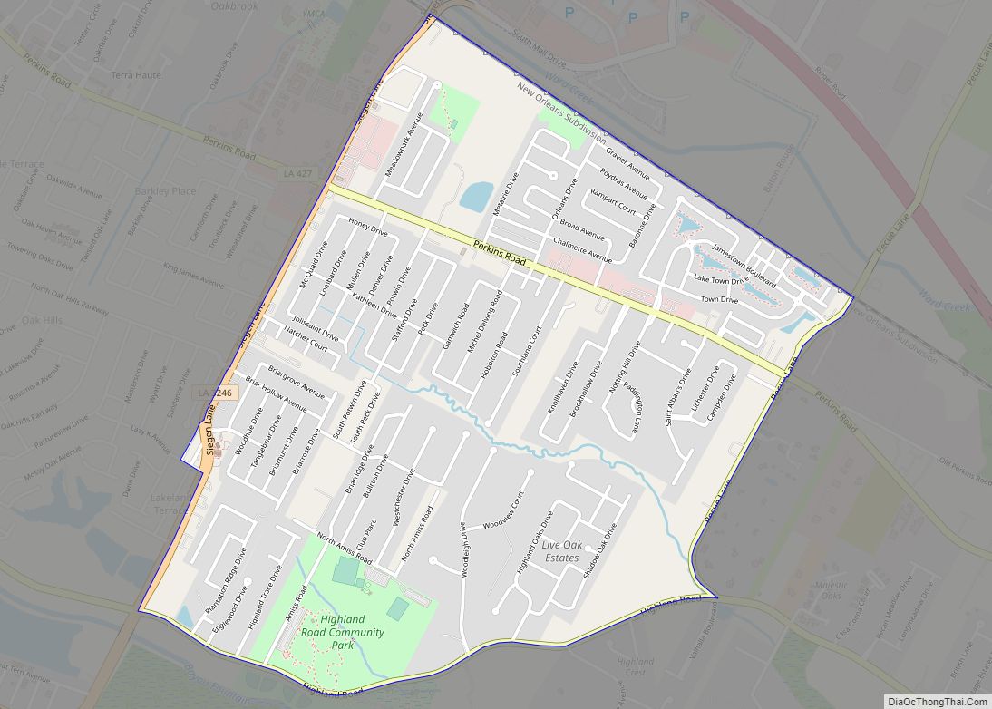
Village St. George is a census-designated place (CDP) in East Baton Rouge Parish, Louisiana, United States. The population was 7,104 at the 2010 census. It is part of the Baton Rouge Metropolitan Statistical Area. It is in the proposed City of St. George. Village St. George CDP overview: Name: Village St. George CDP LSAD Code: ... Read more
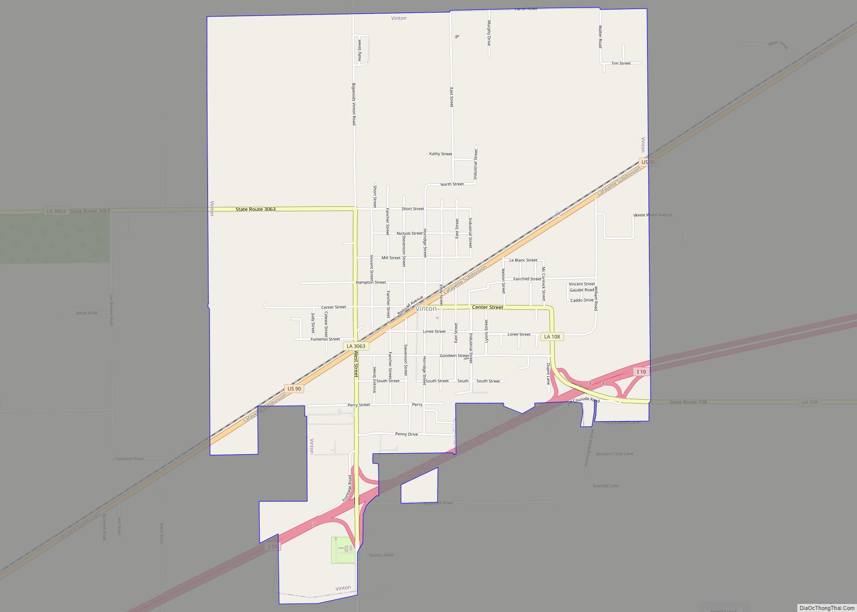
Vinton is a town in Calcasieu Parish, Louisiana, United States. The population was 3,400 in 2020. It is part of the Lake Charles metropolitan statistical area. Vinton town overview: Name: Vinton town LSAD Code: 43 LSAD Description: town (suffix) State: Louisiana County: Calcasieu Parish Elevation: 16 ft (5 m) Total Area: 5.15 sq mi (13.33 km²) Land Area: 5.10 sq mi (13.22 km²) ... Read more
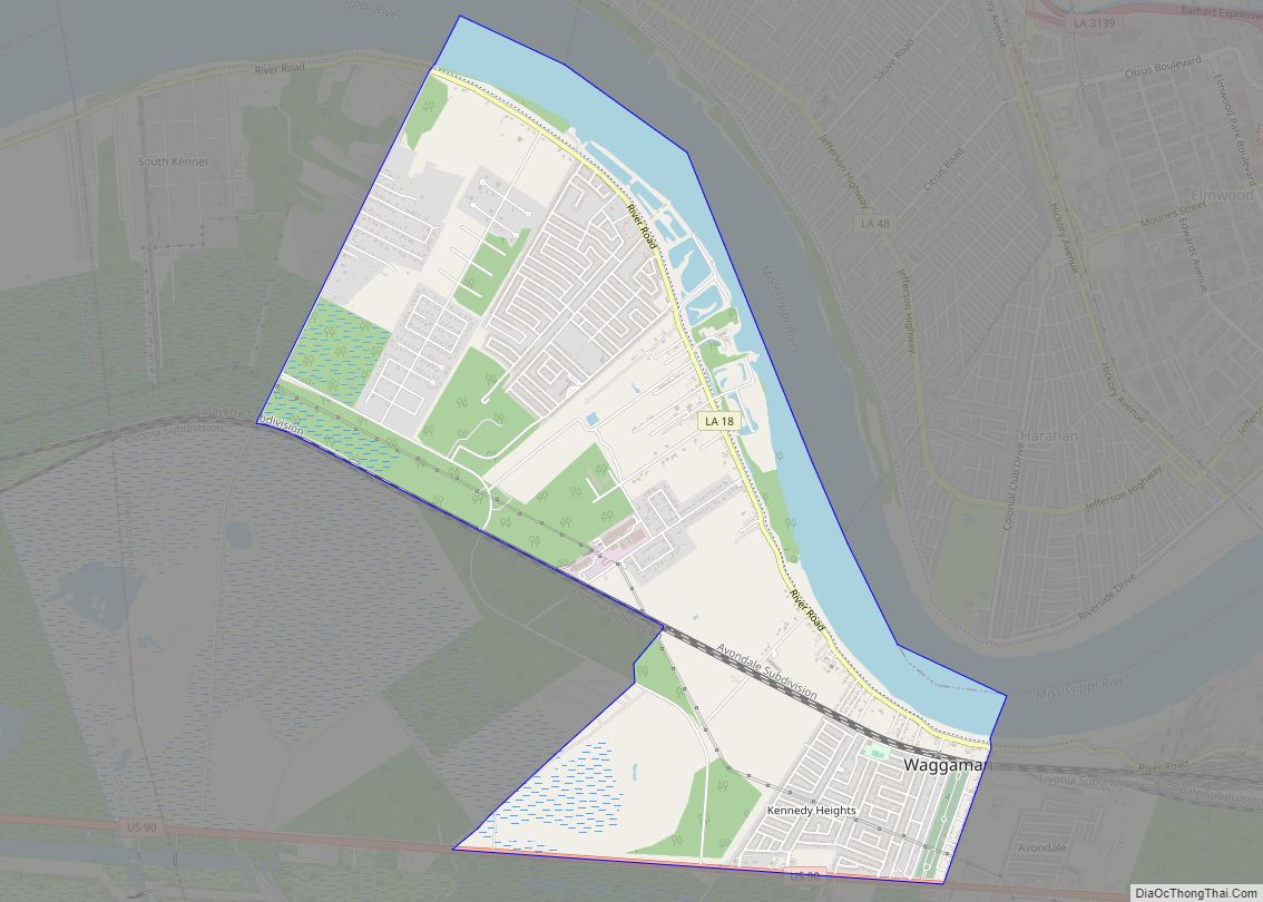
Waggaman is a census-designated place and unincorporated community in Jefferson Parish, Louisiana, United States. Waggaman is on the West Bank of the Mississippi River, within the New Orleans–Metairie–Kenner metropolitan statistical area. The population was 9,835 at the 2020 census. The area was named for U.S. Senator George Augustus Waggaman (1782–1843). Waggaman CDP overview: Name: Waggaman ... Read more
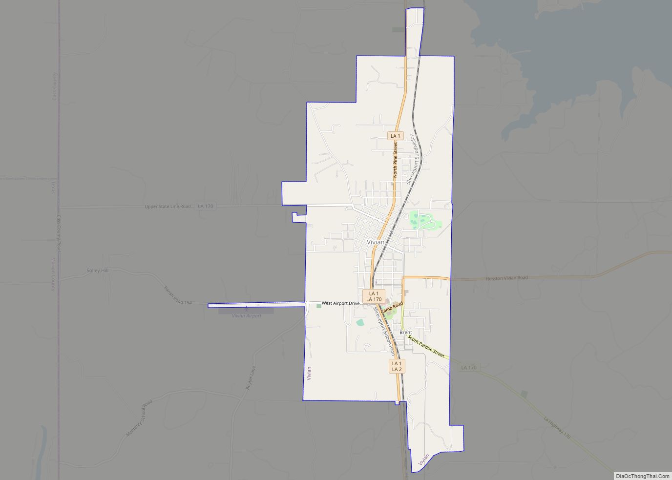
Vivian is a town in Caddo Parish, Louisiana, United States and is home to the Red Bud Festival. The population was 3,671 at the 2010 census, down from 4,031 in 2000. According to 2020 census data, Vivian is now the fourth-largest municipality in Caddo Parish by population (after Blanchard, Greenwood, and Shreveport). Vivian town overview: ... Read more
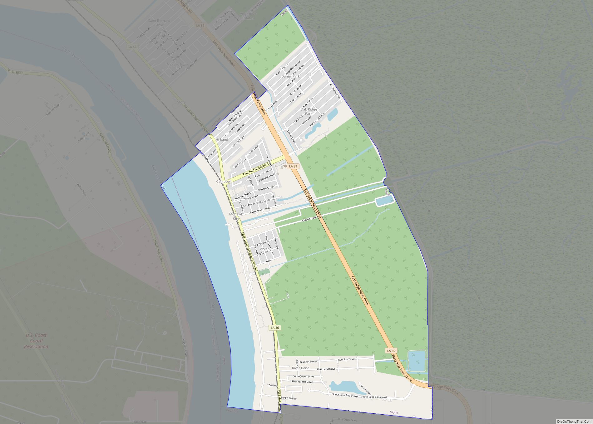
Violet is a census-designated place (CDP) in St. Bernard Parish, Louisiana, United States. The population was 5,758 at the 2020 census. Violet is located on the east bank of the Mississippi River, approximately 7.5 miles (12.1 km) southeast of New Orleans and is part of the New Orleans–Metairie–Kenner metropolitan statistical area. Violet CDP overview: Name: Violet ... Read more
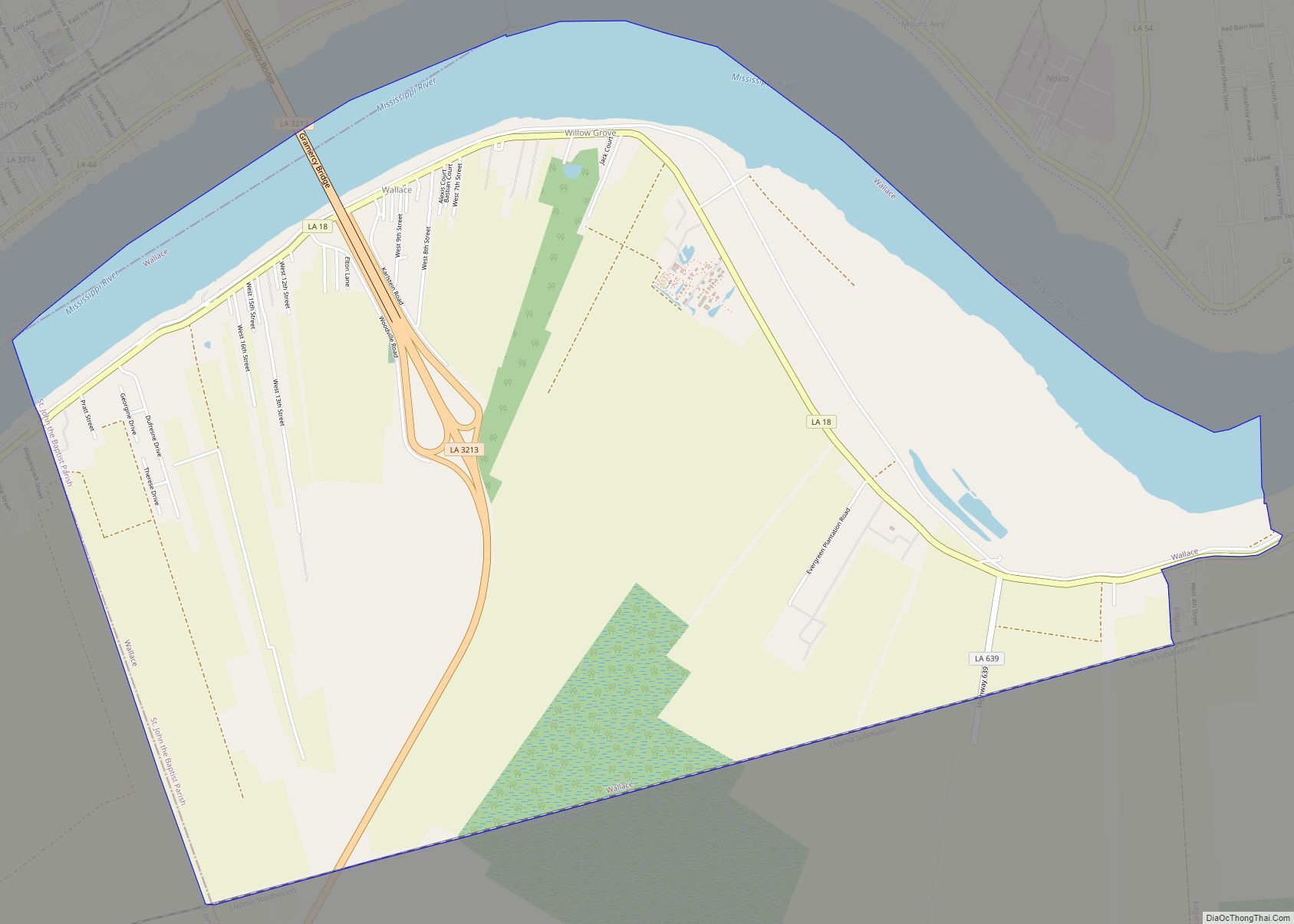
Wallace is a census-designated place (CDP) in St. John the Baptist Parish, Louisiana, United States. The population was 570 at the 2000 census. It is part of the New Orleans–Metairie–Kenner Metropolitan Statistical Area. The rural community is on the west bank of the Mississippi River and easily accessible to Interstate 10 via the Gramercy Bridge. ... Read more
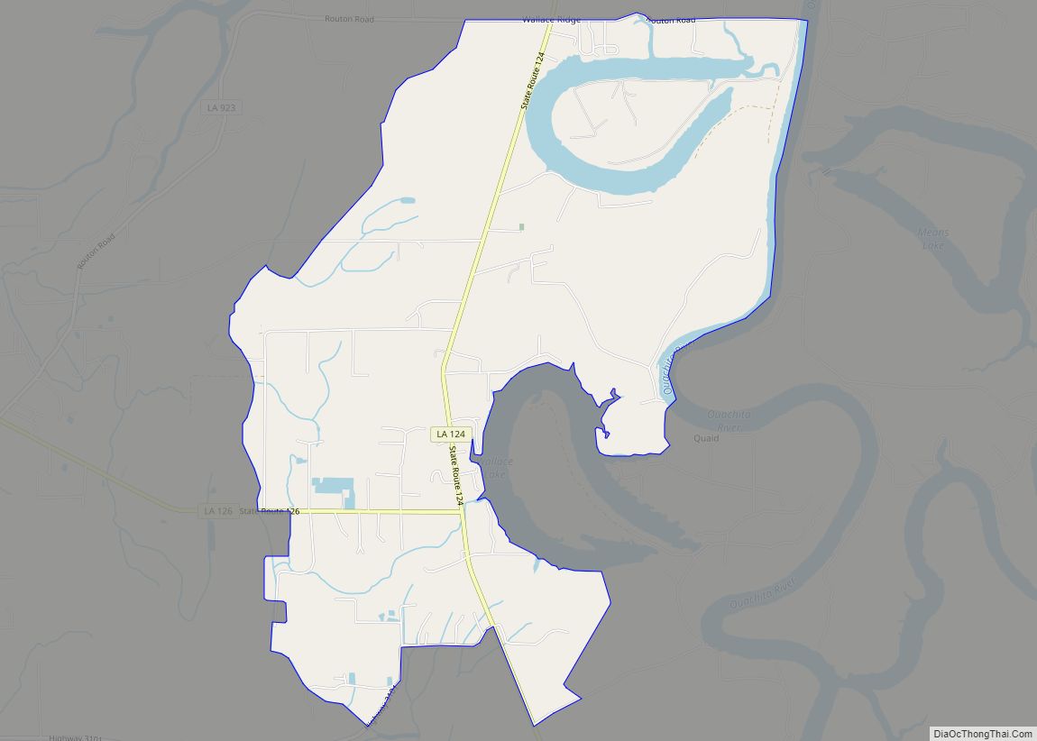
Wallace Ridge is an unincorporated community and census-designated place (CDP) in Catahoula Parish, Louisiana, United States. As of the 2010 census it had a population of 710. It is located northeast of the center of Catahoula Parish on the west side of the Ouachita River. Tew Lake, a former channel of the river that is ... Read more
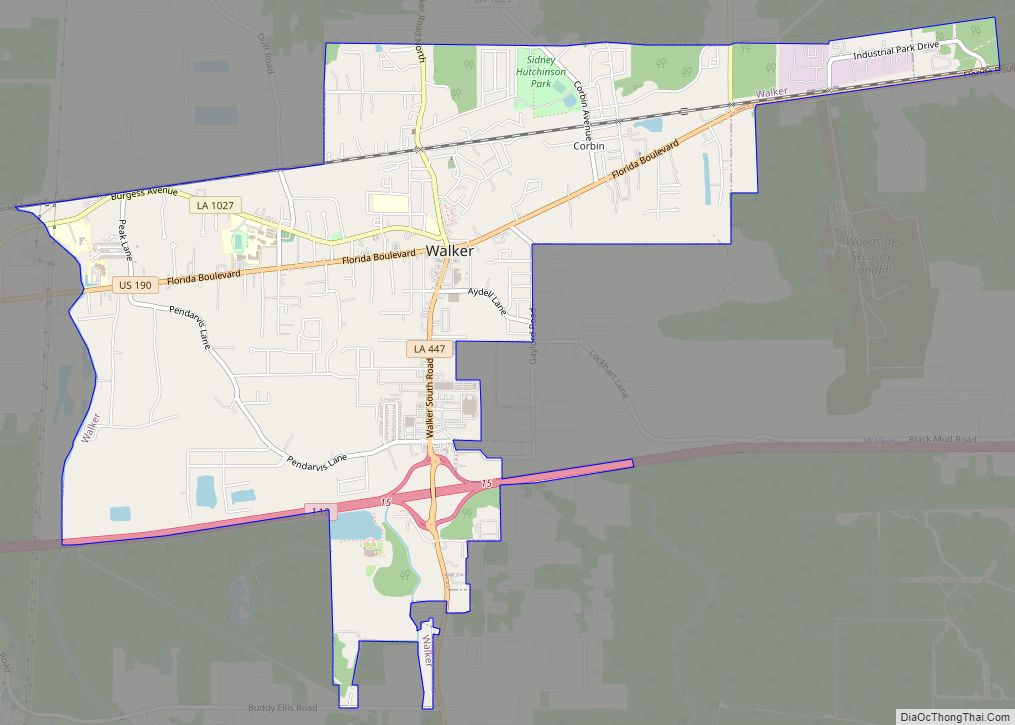
Walker is a city in Livingston Parish, Louisiana, United States. As of the 2010 census the population was placed at 6,138 (up 28% over the past decade), making Walker and Denham Springs the only parish municipalities classified as cities. Walker town overview: Name: Walker town LSAD Code: 43 LSAD Description: town (suffix) State: Louisiana County: ... Read more
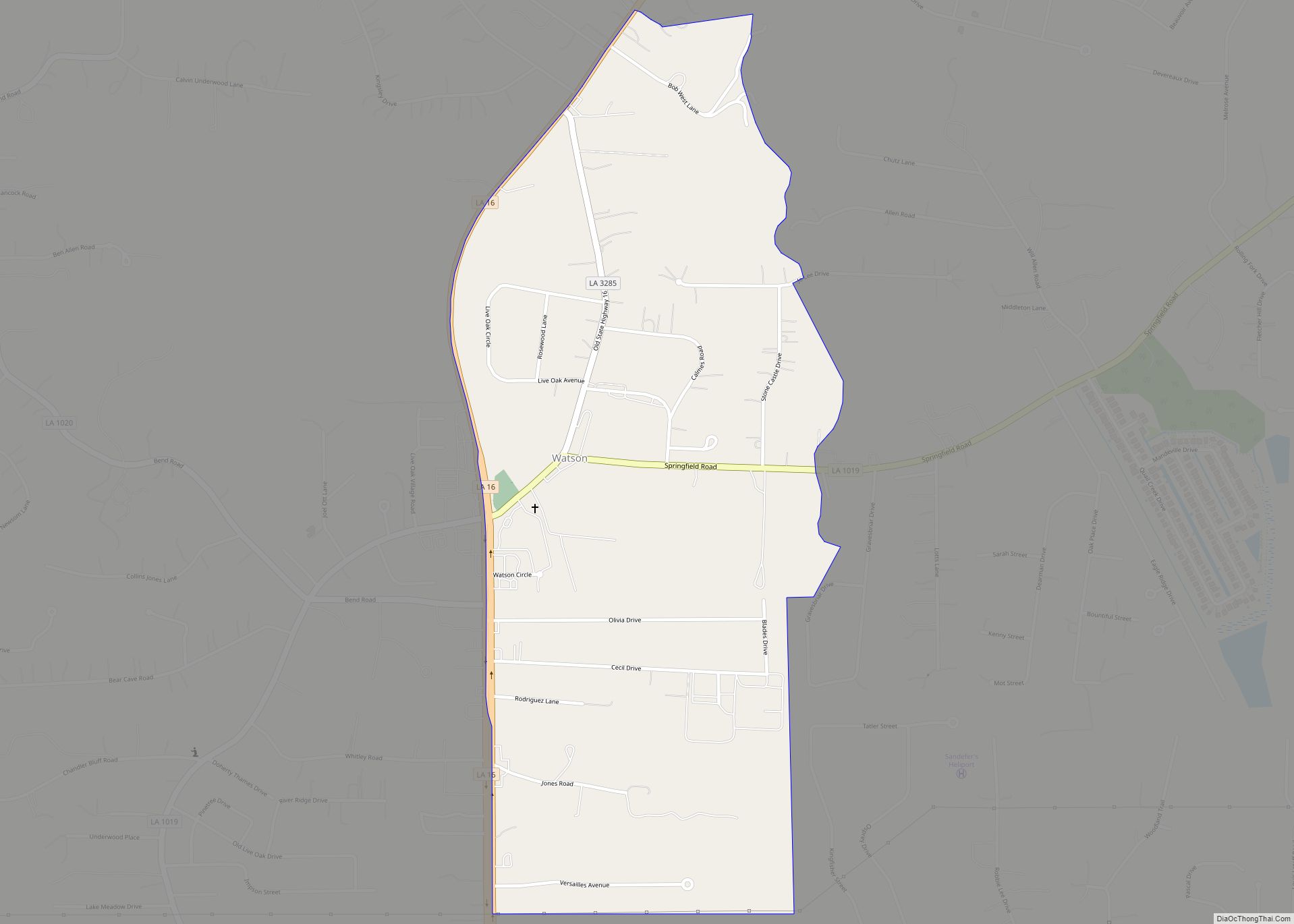
Watson is an unincorporated community and census-designated place (CDP) in Livingston Parish, Louisiana, United States. The community is in the Baton Rouge Metropolitan Statistical Area. Watson CDP overview: Name: Watson CDP LSAD Code: 57 LSAD Description: CDP (suffix) State: Louisiana County: Livingston Parish Elevation: 69 ft (21 m) Total Area: 0.96 sq mi (2.48 km²) Land Area: 0.96 sq mi (2.48 km²) Water ... Read more
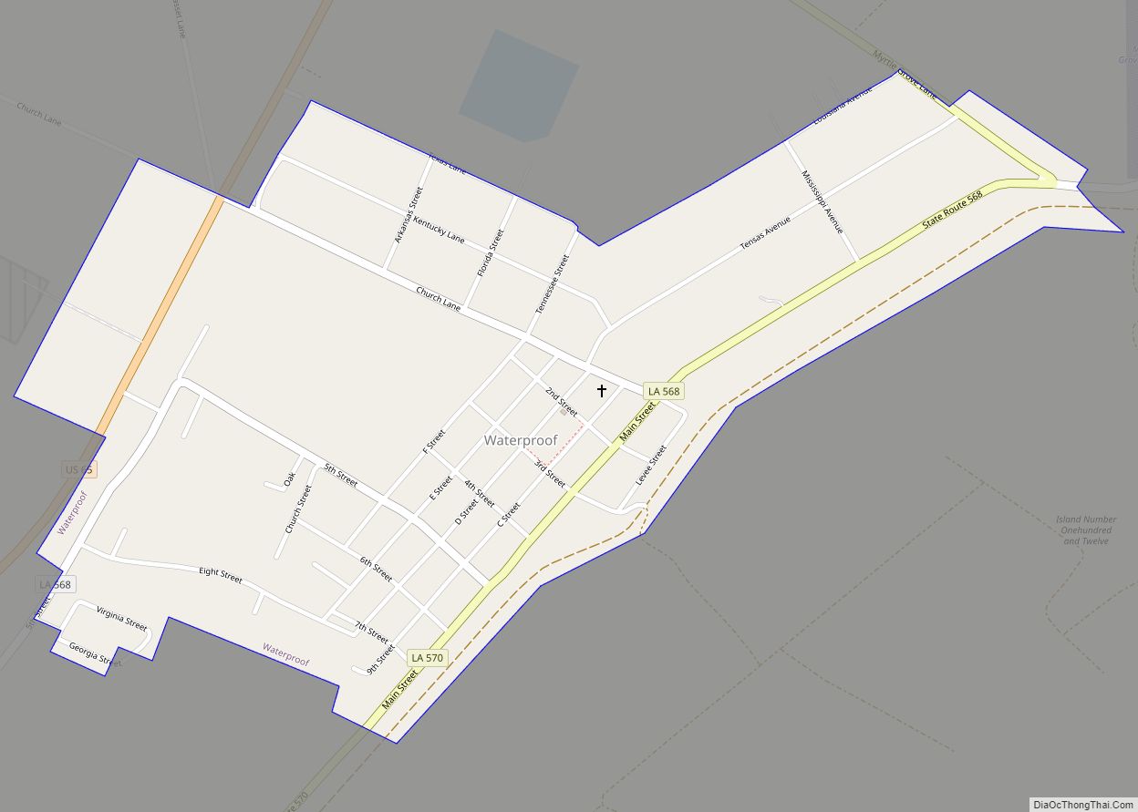
Waterproof is a village in Tensas Parish in northeastern Louisiana, United States with a population of 688 as of the 2010 census. The village in 2010 was 91.7 percent African American. Some 24 percent of Waterproof residents in 2010 were aged sixty or above. Waterproof is approximately 17 mi (27 km) north of Ferriday, one of the ... Read more
