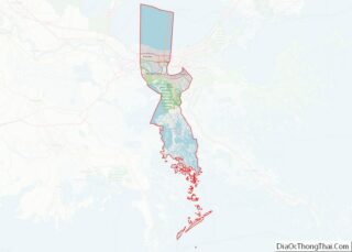
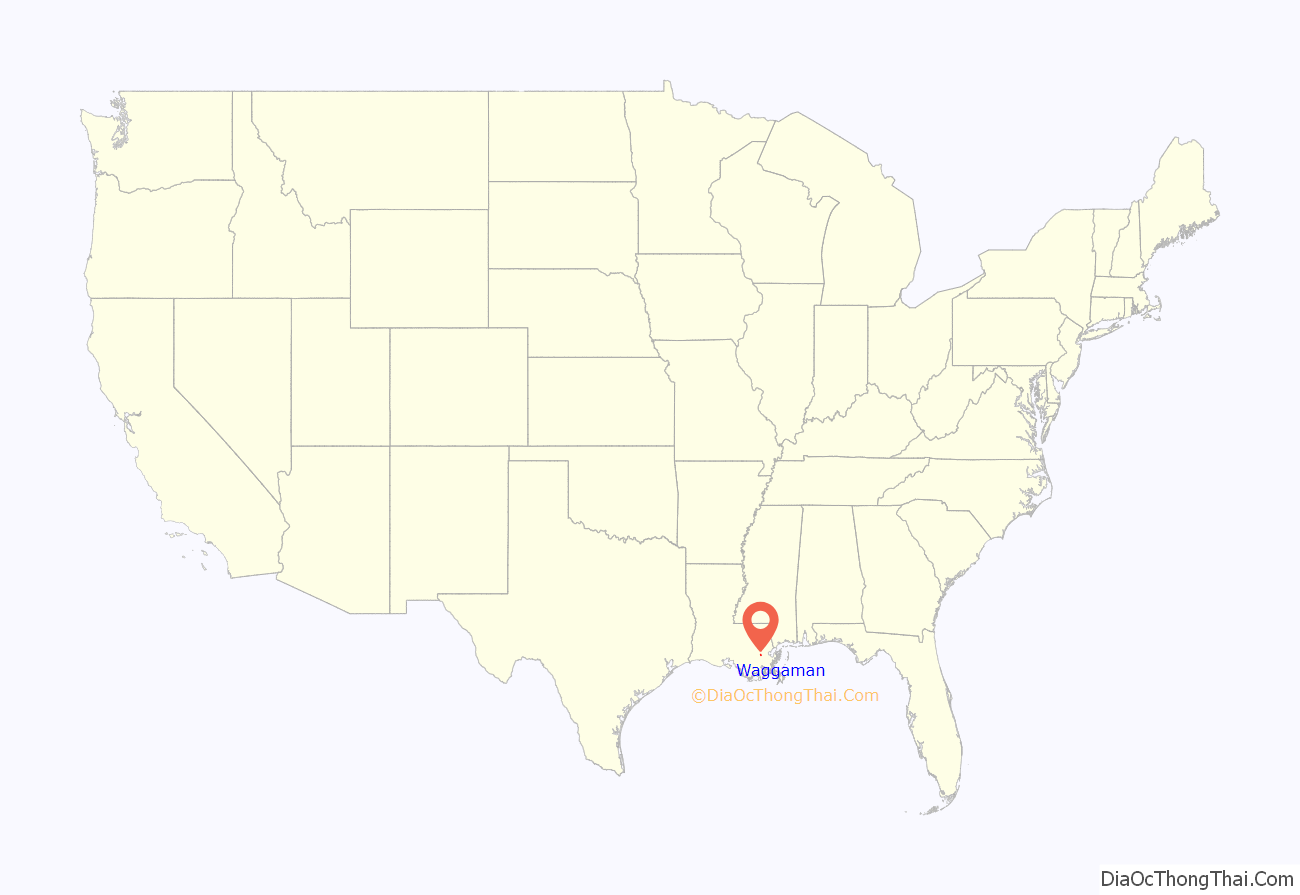
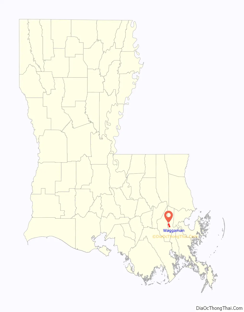
Waggaman is a census-designated place and unincorporated community in Jefferson Parish, Louisiana, United States. Waggaman is on the West Bank of the Mississippi River, within the New Orleans–Metairie–Kenner metropolitan statistical area. The population was 9,835 at the 2020 census. The area was named for U.S. Senator George Augustus Waggaman (1782–1843).
| Name: | Waggaman CDP |
|---|---|
| LSAD Code: | 57 |
| LSAD Description: | CDP (suffix) |
| State: | Louisiana |
| County: | Jefferson Parish |
| Total Area: | 6.57 sq mi (17.00 km²) |
| Land Area: | 5.73 sq mi (14.85 km²) |
| Water Area: | 0.83 sq mi (2.16 km²) |
| Total Population: | 9,835 |
| Population Density: | 1,715.51/sq mi (662.39/km²) |
| ZIP code: | 70094 (Westwego) |
| Area code: | 504 |
| FIPS code: | 2279100 |
| GNISfeature ID: | 558340 |
Online Interactive Map
Click on ![]() to view map in "full screen" mode.
to view map in "full screen" mode.
Waggaman location map. Where is Waggaman CDP?
History
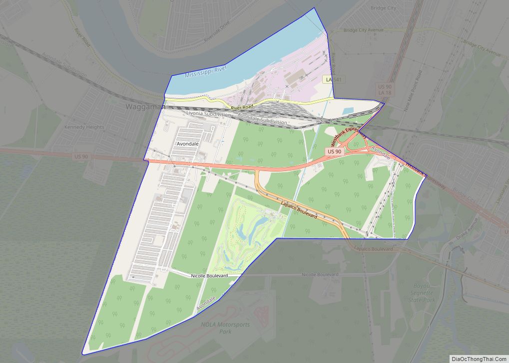
George Augustus Waggaman settled in the area with his wife, Camille Arnoult, who inherited a large tract of land there. The two built a considerable plantation which they named Avondale, which later succumbed to the Mississippi River in 1892. Today the Avondale area, an unincorporated community which abuts Waggaman, was home to Avondale Shipyards, one of the largest employers in Jefferson Parish.
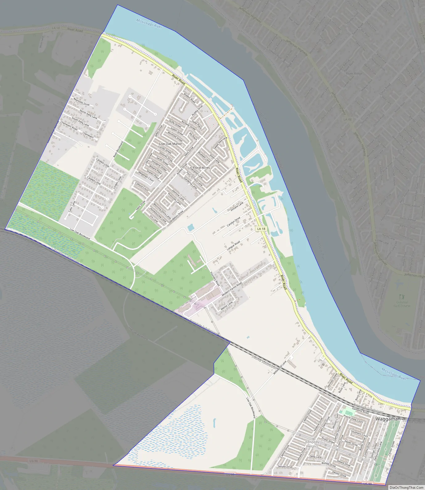
Waggaman Road Map
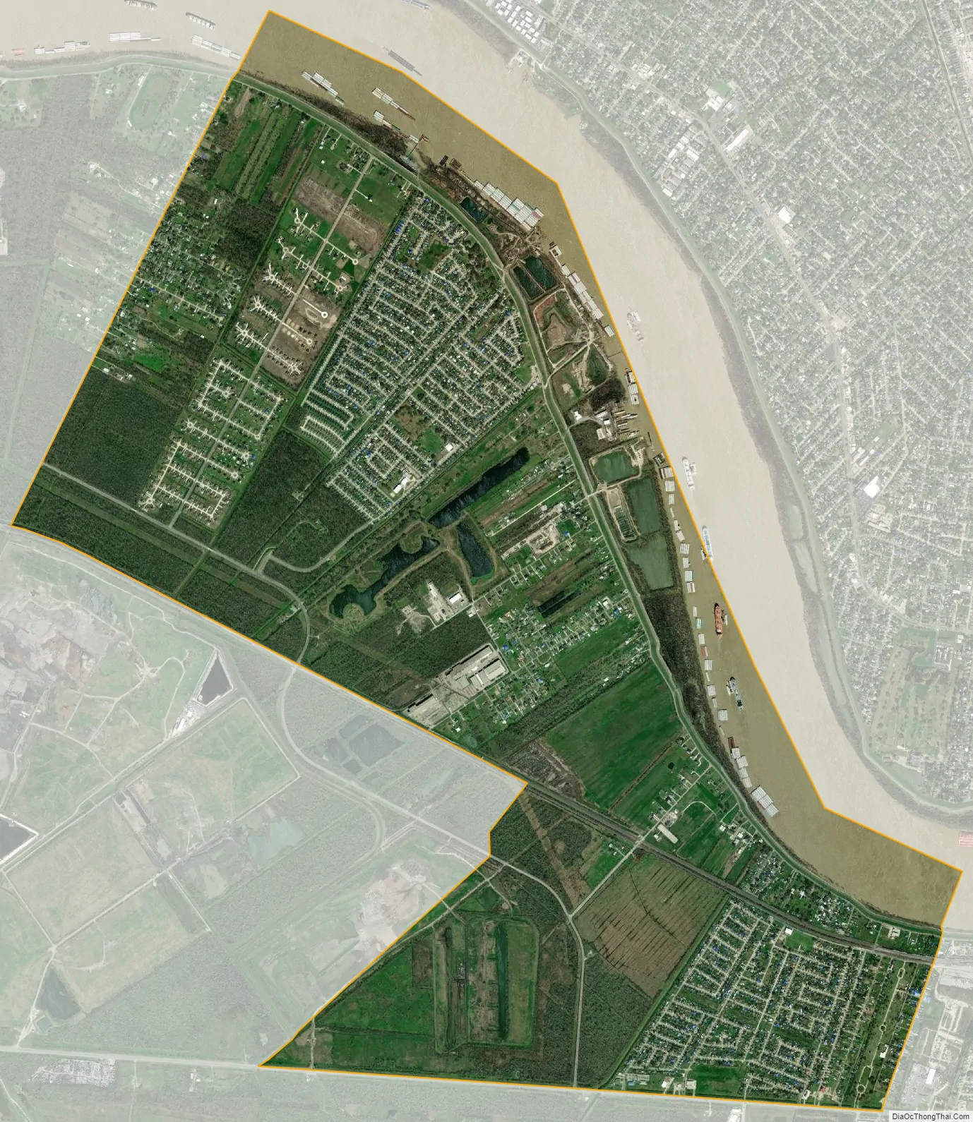
Waggaman city Satellite Map
Geography
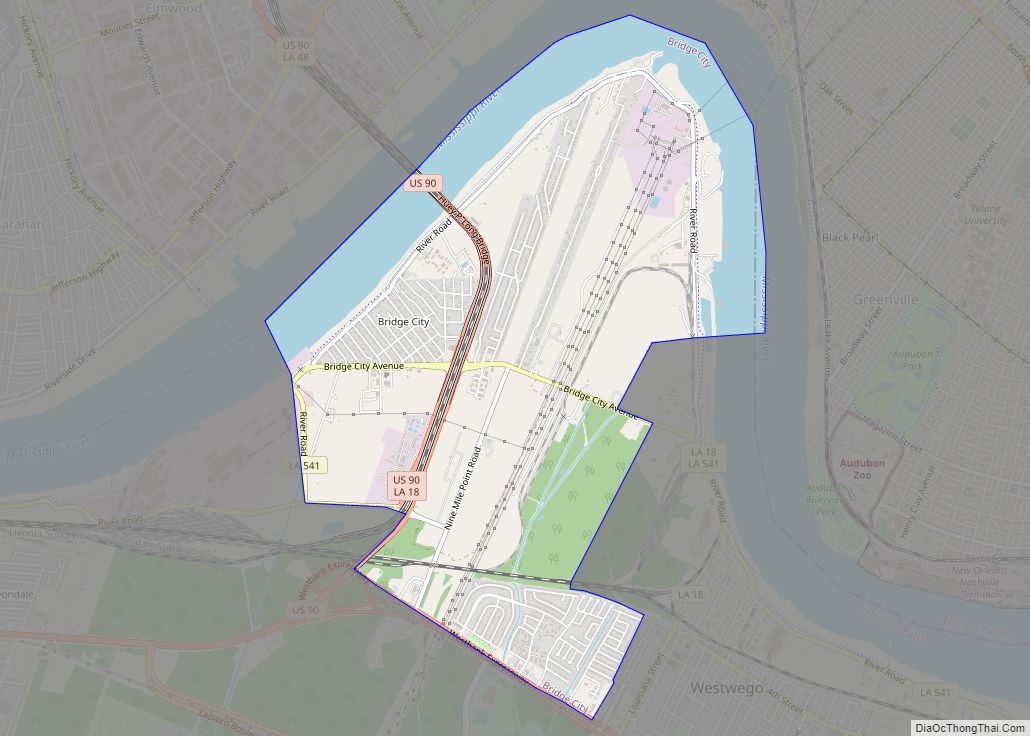
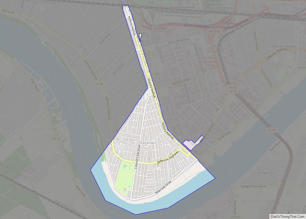
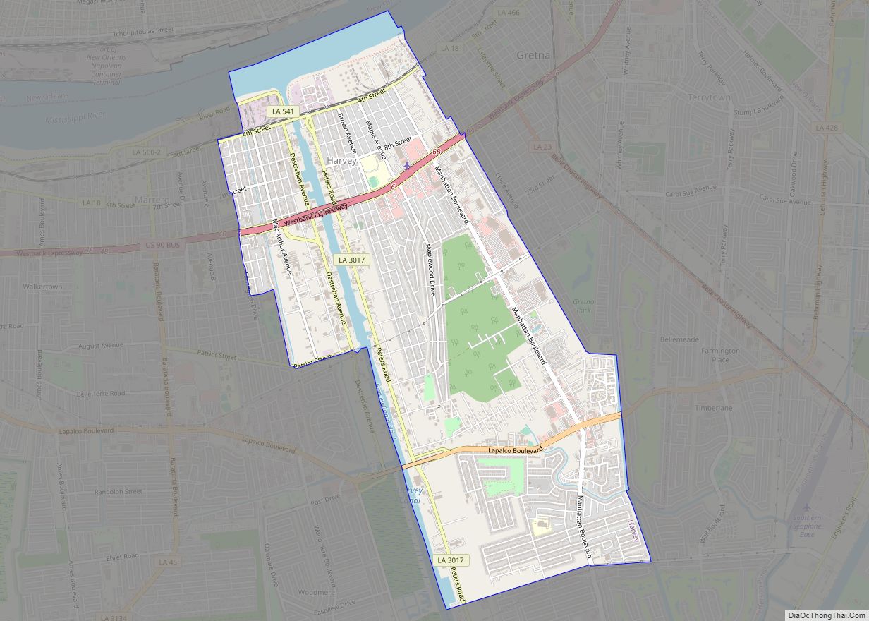
Waggaman is located on the west side of Jefferson Parish at 29°55′47″N 90°13′48″W / 29.92972°N 90.23000°W / 29.92972; -90.23000 (29.929856, -90.230053), on the southwest side of the Mississippi River. It is bordered to the southeast by Avondale. Across the Mississippi, it is bordered to the north by Kenner, to the northeast by River Ridge, and to the east by Harahan. U.S. Route 90 forms the southern border of Waggaman and leads east 14 miles (23 km) into New Orleans. Louisiana Highway 18 (River Road) runs along the river side of the community, leading east into Avondale and west (upriver) 10 miles (16 km) to Interstate 310 in Luling.
According to the United States Census Bureau, the Waggaman CDP has a total area of 6.6 square miles (17.0 km), of which 5.5 square miles (14.2 km) are land and 1.1 square miles (2.8 km), or 16.29%, are water.
See also
Map of Louisiana State and its subdivision:- Acadia
- Allen
- Ascension
- Assumption
- Avoyelles
- Beauregard
- Bienville
- Bossier
- Caddo
- Calcasieu
- Caldwell
- Cameron
- Catahoula
- Claiborne
- Concordia
- De Soto
- East Baton Rouge
- East Carroll
- East Feliciana
- Evangeline
- Franklin
- Grant
- Iberia
- Iberville
- Jackson
- Jefferson
- Jefferson Davis
- La Salle
- Lafayette
- Lafourche
- Lincoln
- Livingston
- Madison
- Morehouse
- Natchitoches
- Orleans
- Ouachita
- Plaquemines
- Pointe Coupee
- Rapides
- Red River
- Richland
- Sabine
- Saint Bernard
- Saint Charles
- Saint Helena
- Saint James
- Saint John the Baptist
- Saint Landry
- Saint Martin
- Saint Mary
- Saint Tammany
- Tangipahoa
- Tensas
- Terrebonne
- Union
- Vermilion
- Vernon
- Washington
- Webster
- West Baton Rouge
- West Carroll
- West Feliciana
- Winn
- Alabama
- Alaska
- Arizona
- Arkansas
- California
- Colorado
- Connecticut
- Delaware
- District of Columbia
- Florida
- Georgia
- Hawaii
- Idaho
- Illinois
- Indiana
- Iowa
- Kansas
- Kentucky
- Louisiana
- Maine
- Maryland
- Massachusetts
- Michigan
- Minnesota
- Mississippi
- Missouri
- Montana
- Nebraska
- Nevada
- New Hampshire
- New Jersey
- New Mexico
- New York
- North Carolina
- North Dakota
- Ohio
- Oklahoma
- Oregon
- Pennsylvania
- Rhode Island
- South Carolina
- South Dakota
- Tennessee
- Texas
- Utah
- Vermont
- Virginia
- Washington
- West Virginia
- Wisconsin
- Wyoming