Wallace is a census-designated place (CDP) in St. John the Baptist Parish, Louisiana, United States. The population was 570 at the 2000 census. It is part of the New Orleans–Metairie–Kenner Metropolitan Statistical Area. The rural community is on the west bank of the Mississippi River and easily accessible to Interstate 10 via the Gramercy Bridge.
It is the site of Evergreen Plantation, designated a National Historic Landmark in 1992. Evergreen is unusual for having 22 surviving slave quarters buildings. It is one of the most complete plantations in the South. Because of its significance, it was selected as one of the sites on the Louisiana African American Heritage Trail.
The Whitney Plantation is also located here. Also a designated site on the state heritage trail, this historic complex opened to the public in 2014. It is the first plantation museum in the country dedicated to the slave experience. The museum includes a plantation main house, and relocated church and outbuildings. There is a newly commissioned multi-part slave memorial, containing the names of thousands of slaves in Louisiana, and other public art related to slavery history. In addition, a memorial and information commemorate the 1811 German Coast Uprising, a slave revolt that occurred in this region soon after it was acquired by the United States, during the Territory of Orleans period.
| Name: | Wallace CDP |
|---|---|
| LSAD Code: | 57 |
| LSAD Description: | CDP (suffix) |
| State: | Louisiana |
| County: | St. John the Baptist Parish |
| Elevation: | 20 ft (6 m) |
| Total Area: | 7.71 sq mi (19.95 km²) |
| Land Area: | 6.45 sq mi (16.72 km²) |
| Water Area: | 1.25 sq mi (3.24 km²) |
| Total Population: | 755 |
| Population Density: | 116.98/sq mi (45.17/km²) |
| Area code: | 985 |
| FIPS code: | 2279275 |
Online Interactive Map
Click on ![]() to view map in "full screen" mode.
to view map in "full screen" mode.
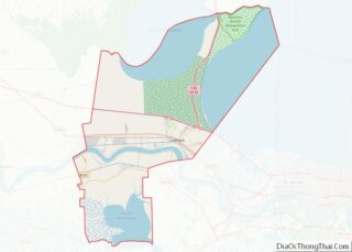
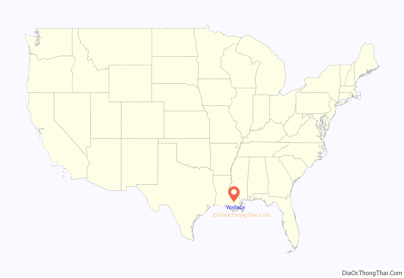
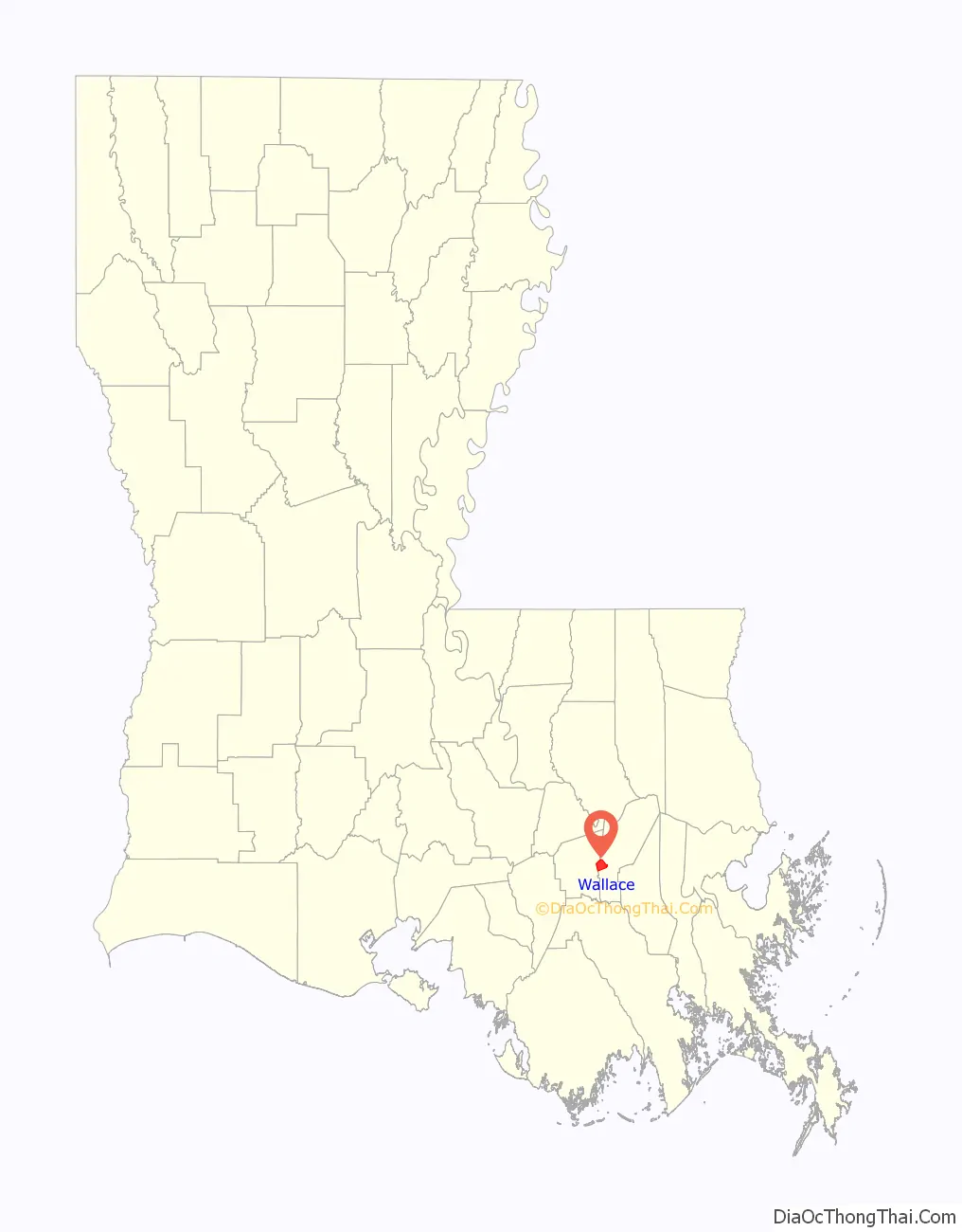
Wallace location map. Where is Wallace CDP?
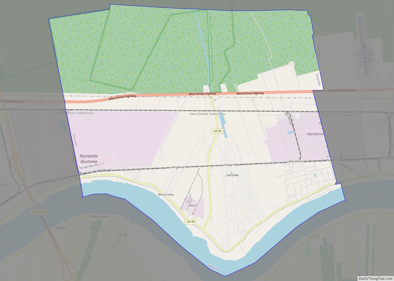
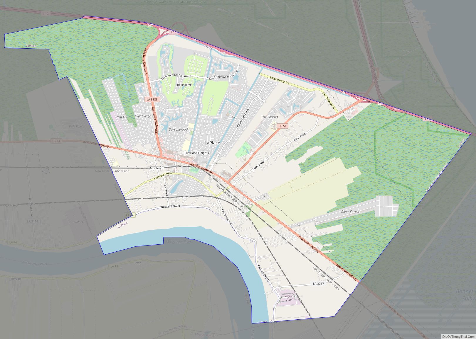
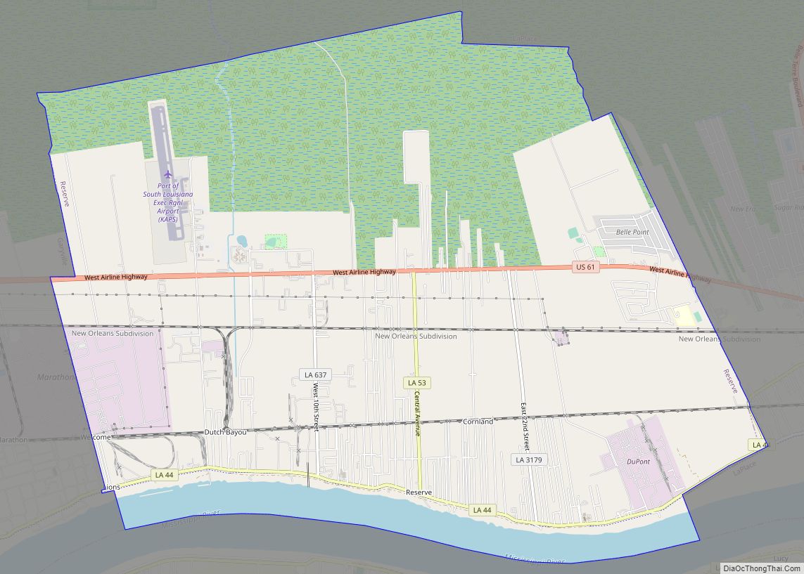
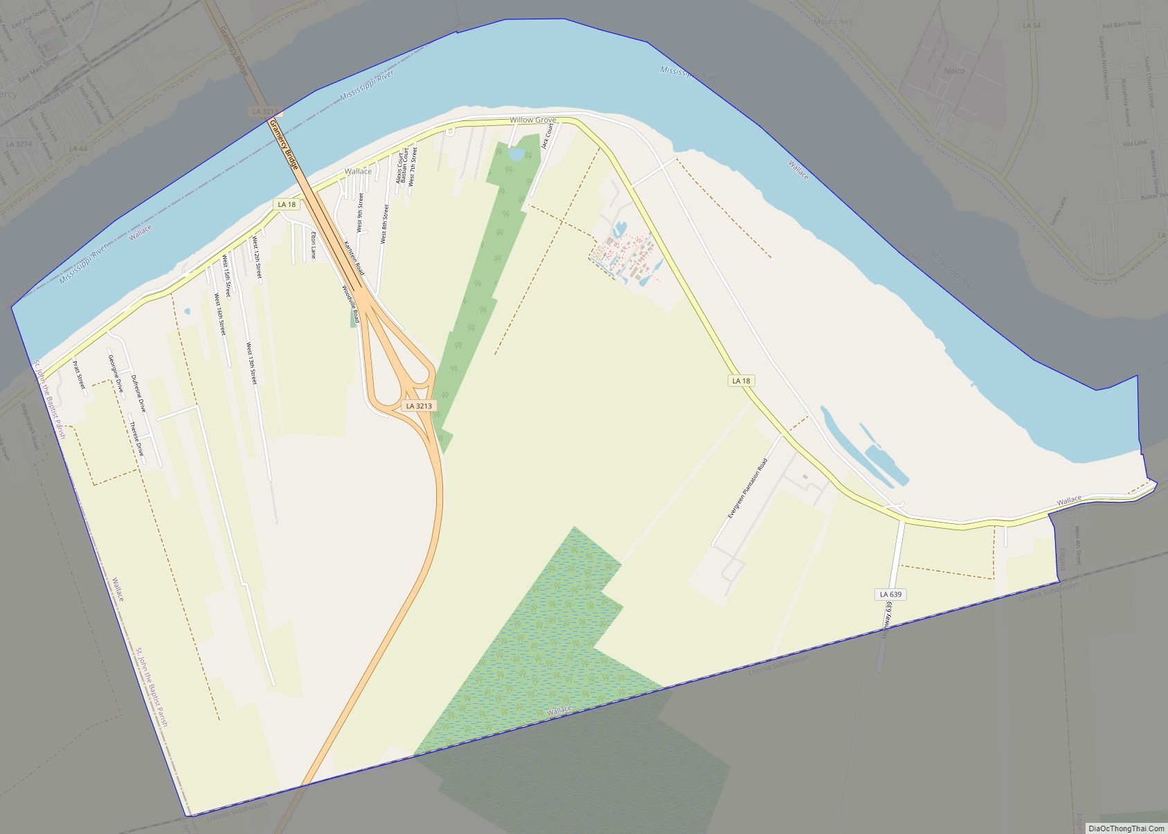
Wallace Road Map

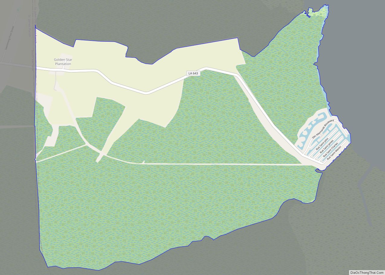
Wallace city Satellite Map
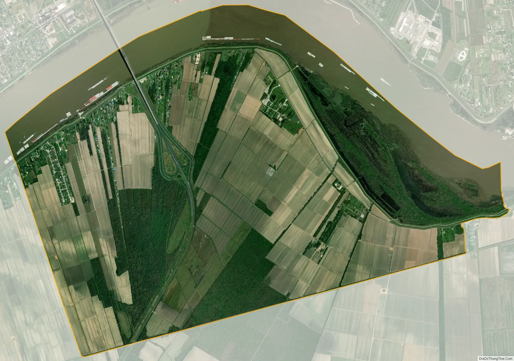
Geography
Wallace is located at 30°2′26″N 90°39′59″W / 30.04056°N 90.66639°W / 30.04056; -90.66639 (30.040492, -90.666471).
According to the United States Census Bureau, the CDP has a total area of 7.6 square miles (19.6 km), of which 6.5 square miles (16.9 km) is land and 1.0 square mile (2.7 km) (13.77%) is water.
See also
Map of Louisiana State and its subdivision:- Acadia
- Allen
- Ascension
- Assumption
- Avoyelles
- Beauregard
- Bienville
- Bossier
- Caddo
- Calcasieu
- Caldwell
- Cameron
- Catahoula
- Claiborne
- Concordia
- De Soto
- East Baton Rouge
- East Carroll
- East Feliciana
- Evangeline
- Franklin
- Grant
- Iberia
- Iberville
- Jackson
- Jefferson
- Jefferson Davis
- La Salle
- Lafayette
- Lafourche
- Lincoln
- Livingston
- Madison
- Morehouse
- Natchitoches
- Orleans
- Ouachita
- Plaquemines
- Pointe Coupee
- Rapides
- Red River
- Richland
- Sabine
- Saint Bernard
- Saint Charles
- Saint Helena
- Saint James
- Saint John the Baptist
- Saint Landry
- Saint Martin
- Saint Mary
- Saint Tammany
- Tangipahoa
- Tensas
- Terrebonne
- Union
- Vermilion
- Vernon
- Washington
- Webster
- West Baton Rouge
- West Carroll
- West Feliciana
- Winn
- Alabama
- Alaska
- Arizona
- Arkansas
- California
- Colorado
- Connecticut
- Delaware
- District of Columbia
- Florida
- Georgia
- Hawaii
- Idaho
- Illinois
- Indiana
- Iowa
- Kansas
- Kentucky
- Louisiana
- Maine
- Maryland
- Massachusetts
- Michigan
- Minnesota
- Mississippi
- Missouri
- Montana
- Nebraska
- Nevada
- New Hampshire
- New Jersey
- New Mexico
- New York
- North Carolina
- North Dakota
- Ohio
- Oklahoma
- Oregon
- Pennsylvania
- Rhode Island
- South Carolina
- South Dakota
- Tennessee
- Texas
- Utah
- Vermont
- Virginia
- Washington
- West Virginia
- Wisconsin
- Wyoming