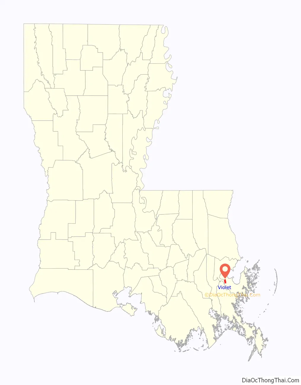
Violet is a census-designated place (CDP) in St. Bernard Parish, Louisiana, United States. The population was 5,758 at the 2020 census. Violet is located on the east bank of the Mississippi River, approximately 7.5 miles (12.1 km) southeast of New Orleans and is part of the New Orleans–Metairie–Kenner metropolitan statistical area.
| Name: | Violet CDP |
|---|---|
| LSAD Code: | 57 |
| LSAD Description: | CDP (suffix) |
| State: | Louisiana |
| County: | St. Bernard Parish |
| Elevation: | 3 ft (0.9 m) |
| Total Area: | 4.57 sq mi (11.85 km²) |
| Land Area: | 3.93 sq mi (10.17 km²) |
| Water Area: | 0.65 sq mi (1.68 km²) |
| Total Population: | 5,758 |
| Population Density: | 1,466.63/sq mi (566.28/km²) |
| Area code: | 504 |
| FIPS code: | 2278855 |
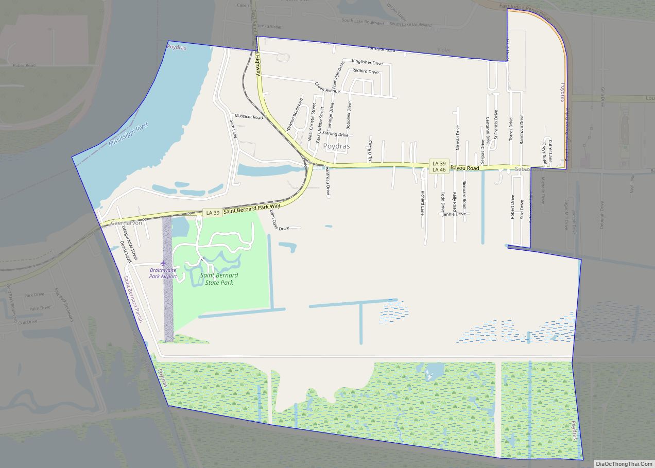
Online Interactive Map
Click on ![]() to view map in "full screen" mode.
to view map in "full screen" mode.
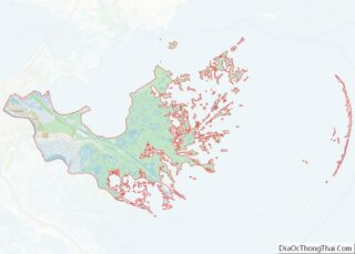
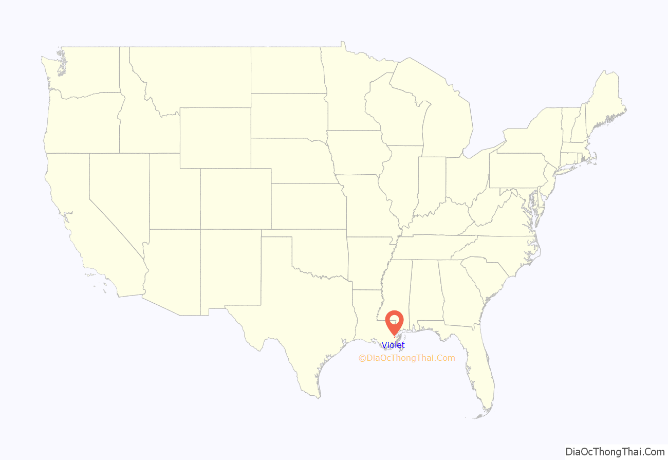
Violet location map. Where is Violet CDP?
History
The area now known as Violet was originally part of the Livaudais Plantation. Violet sprang up after the development of the Violet Canal. It was named by canal booster Albert Covington Janin, after his wife Violet Blair Janin, a Washington, D.C. socialite and part of the influential Blair family for whom the Blair House across from the White House in Washington D.C. is named. Albert Janin spent his youth in St. Bernard Parish in the large Janin family home. His father, Louis Janin, Sr., a prominent lawyer who had immigrated from France to New Orleans in 1828, sent his sons to Europe for their education, including Albert. Albert was a partner with his father’s law firm, including the office in Washington, D. C., where he remained after marrying into the Blair family. His and Violet’s life together is told in Virginia Jean Laas’s book, Love and Power in the Nineteenth Century, the Marriage of Violet Blair.
Hurricane Katrina
On August 29, 2005, the community was devastated by storm surge and wind associated with Hurricane Katrina which topped the Hurricane Protection Levee and destroyed the Mississippi River-Gulf Outlet Canal (MRGO) levee. Camp Hope housed volunteers assisting residents of St. Bernard Parish in their recovery from Hurricane Katrina. It was located at the W. Smith Elementary School, 6701 E. St. Bernard Highway.
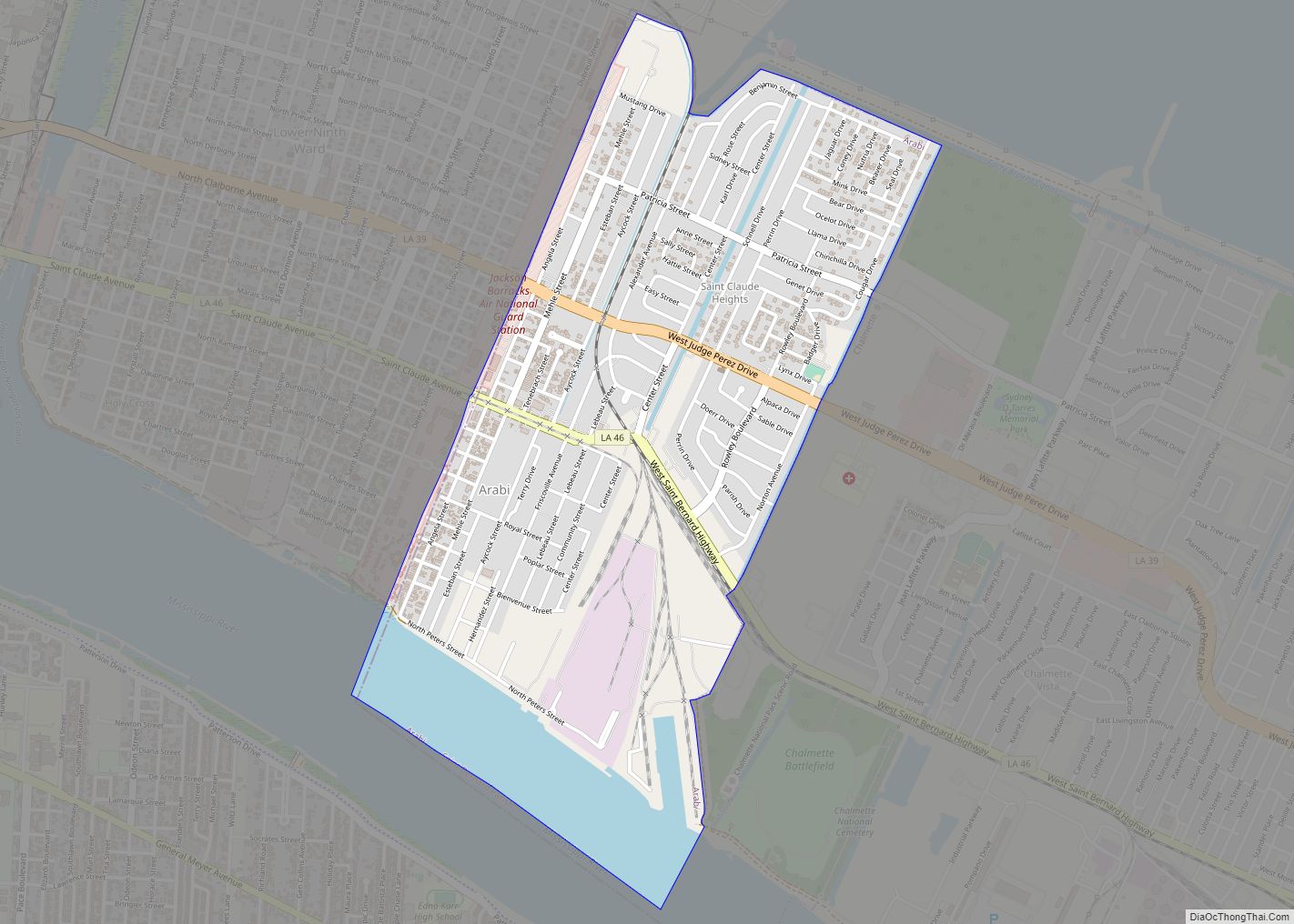
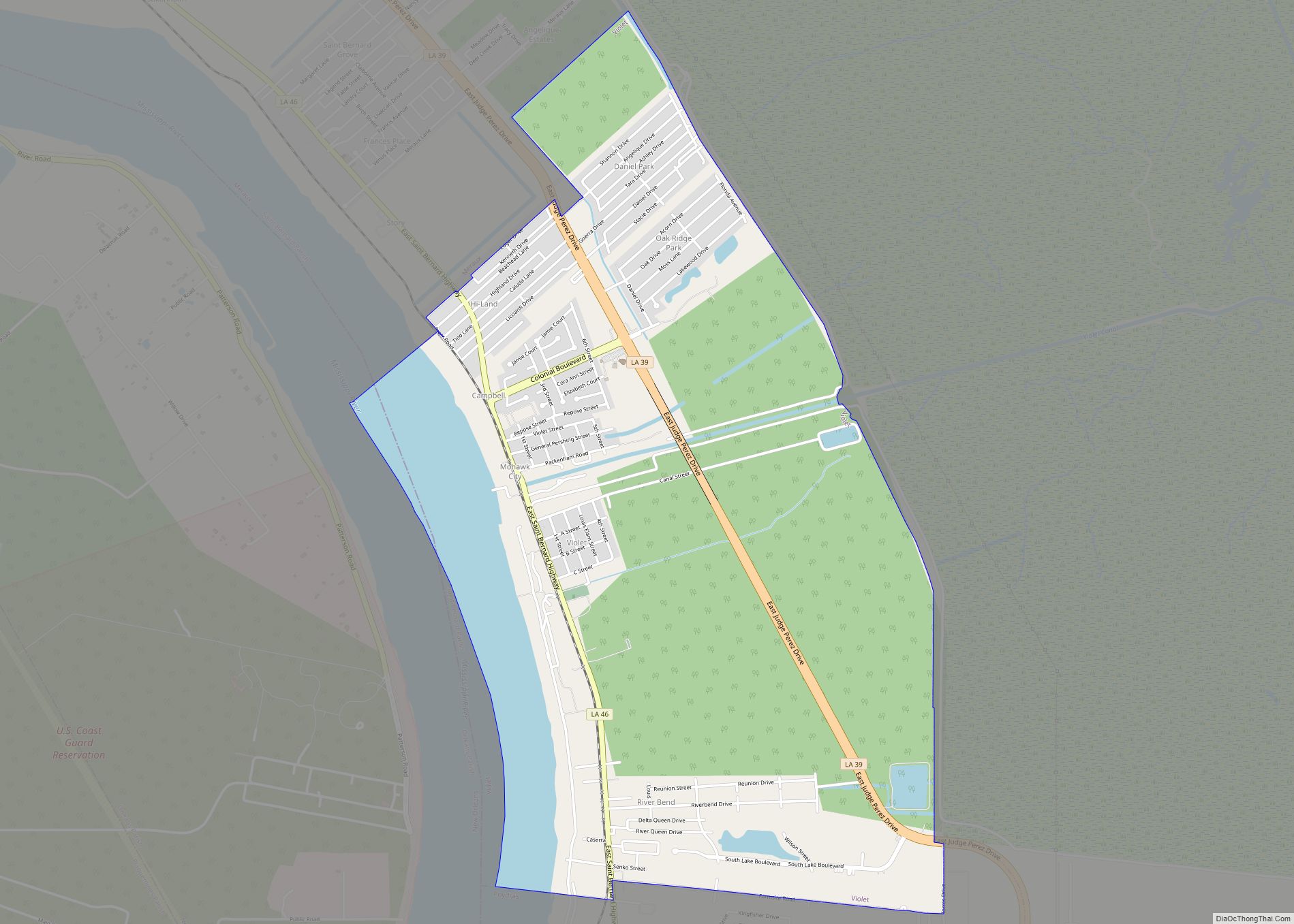
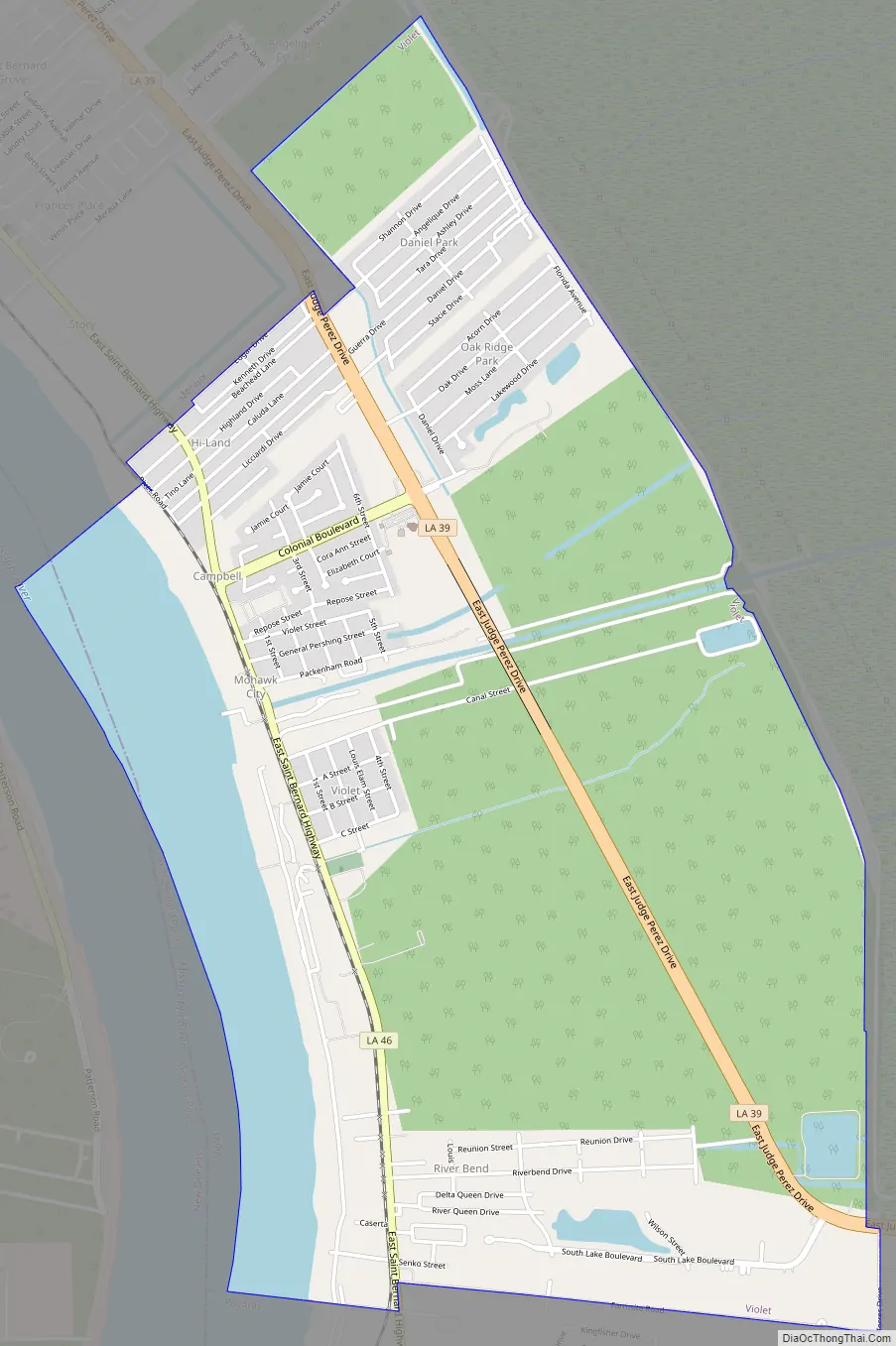
Violet Road Map
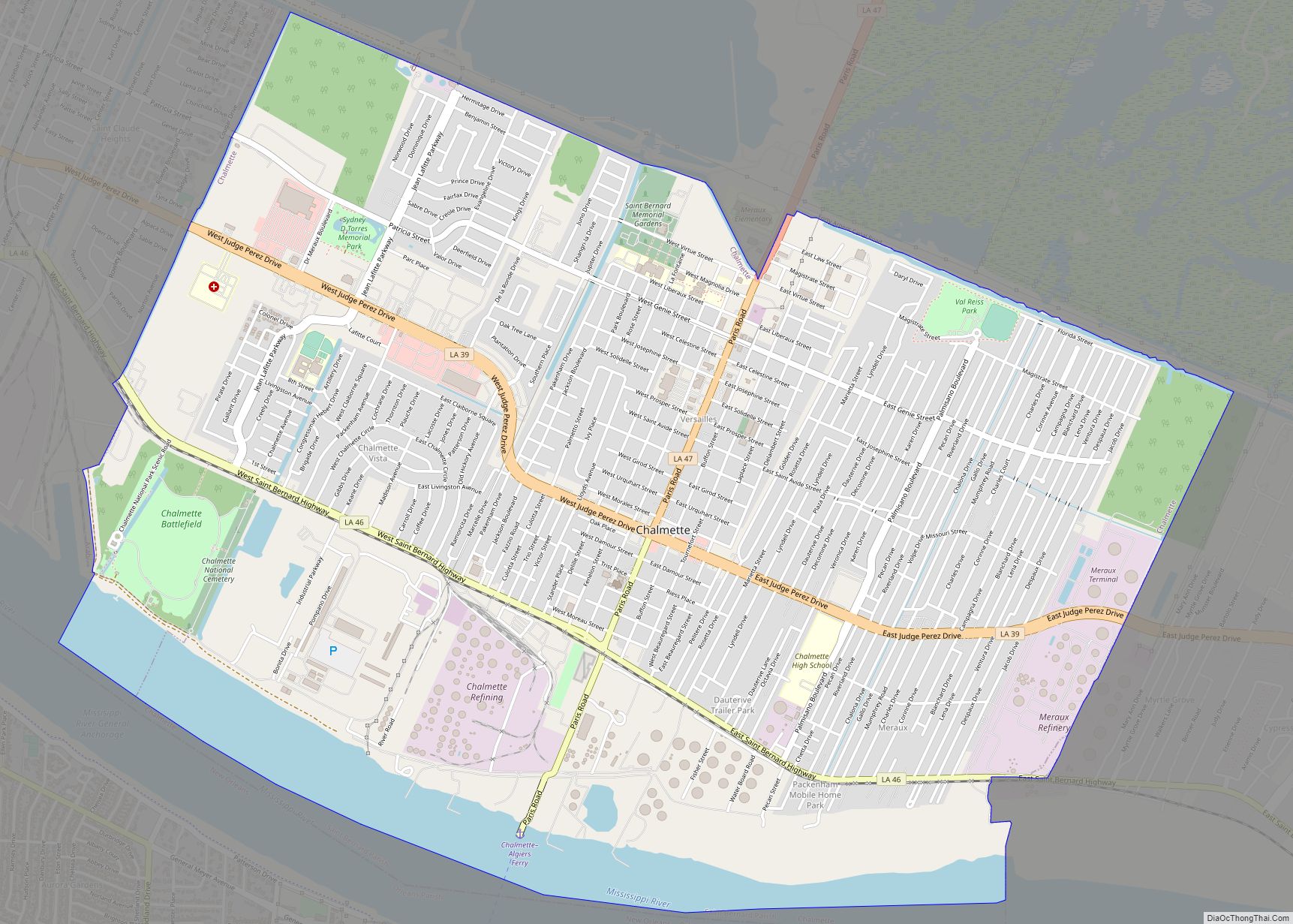
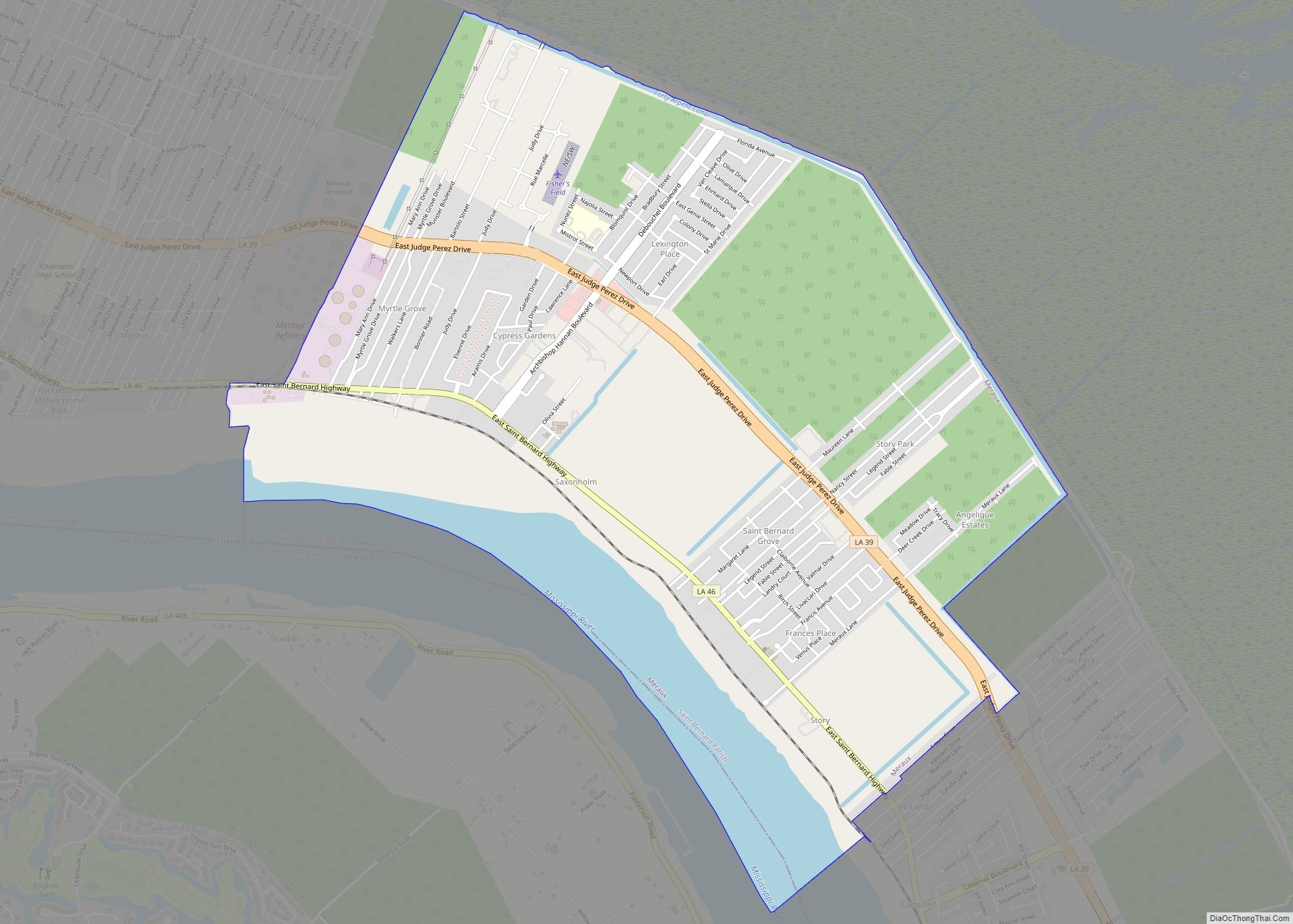
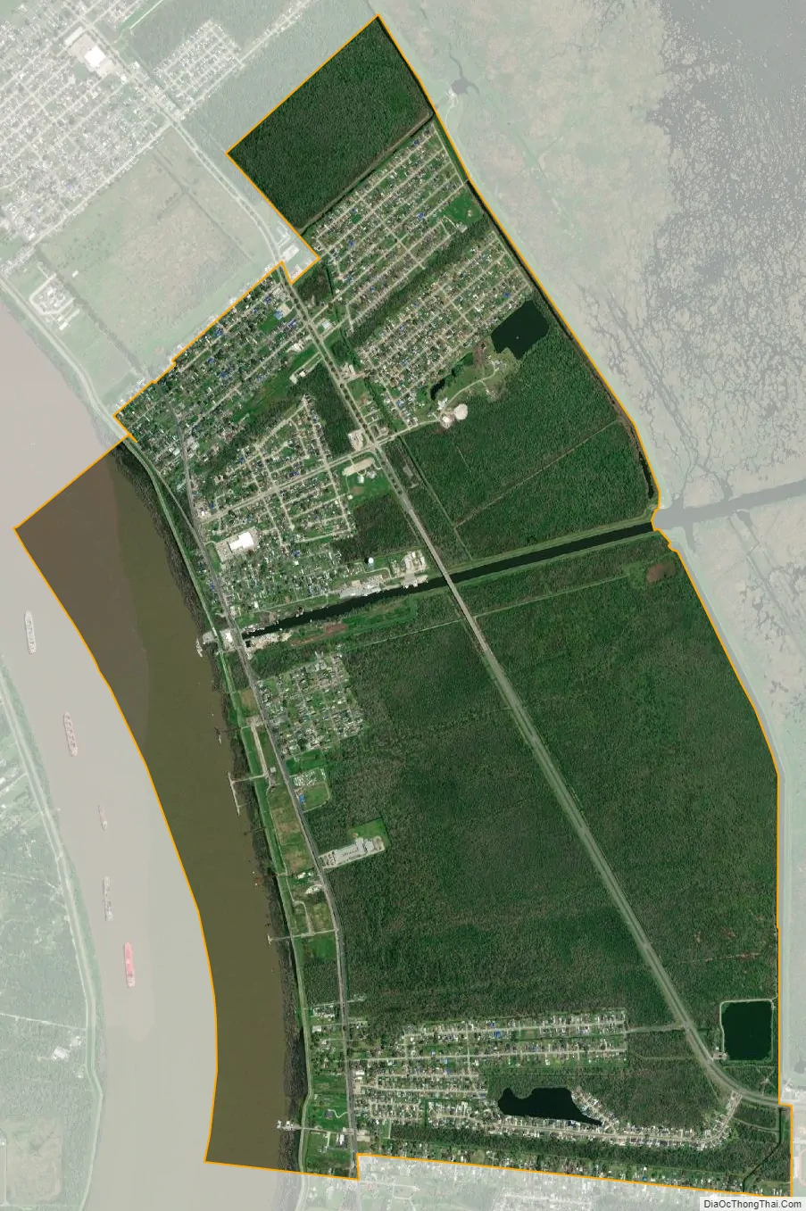
Violet city Satellite Map
Geography
Violet is located at 29°54′4″N 89°53′49″W / 29.90111°N 89.89694°W / 29.90111; -89.89694 (29.901244, -89.896860), in southern Louisiana on the Gulf Coast. According to the United States Census Bureau, the CDP has a total area of 4.5 square miles (11.8 km), of which 4.1 square miles (10.5 km) is land and 0.5 square mile (1.2 km) (10.57%) is water.
See also
Map of Louisiana State and its subdivision:- Acadia
- Allen
- Ascension
- Assumption
- Avoyelles
- Beauregard
- Bienville
- Bossier
- Caddo
- Calcasieu
- Caldwell
- Cameron
- Catahoula
- Claiborne
- Concordia
- De Soto
- East Baton Rouge
- East Carroll
- East Feliciana
- Evangeline
- Franklin
- Grant
- Iberia
- Iberville
- Jackson
- Jefferson
- Jefferson Davis
- La Salle
- Lafayette
- Lafourche
- Lincoln
- Livingston
- Madison
- Morehouse
- Natchitoches
- Orleans
- Ouachita
- Plaquemines
- Pointe Coupee
- Rapides
- Red River
- Richland
- Sabine
- Saint Bernard
- Saint Charles
- Saint Helena
- Saint James
- Saint John the Baptist
- Saint Landry
- Saint Martin
- Saint Mary
- Saint Tammany
- Tangipahoa
- Tensas
- Terrebonne
- Union
- Vermilion
- Vernon
- Washington
- Webster
- West Baton Rouge
- West Carroll
- West Feliciana
- Winn
- Alabama
- Alaska
- Arizona
- Arkansas
- California
- Colorado
- Connecticut
- Delaware
- District of Columbia
- Florida
- Georgia
- Hawaii
- Idaho
- Illinois
- Indiana
- Iowa
- Kansas
- Kentucky
- Louisiana
- Maine
- Maryland
- Massachusetts
- Michigan
- Minnesota
- Mississippi
- Missouri
- Montana
- Nebraska
- Nevada
- New Hampshire
- New Jersey
- New Mexico
- New York
- North Carolina
- North Dakota
- Ohio
- Oklahoma
- Oregon
- Pennsylvania
- Rhode Island
- South Carolina
- South Dakota
- Tennessee
- Texas
- Utah
- Vermont
- Virginia
- Washington
- West Virginia
- Wisconsin
- Wyoming