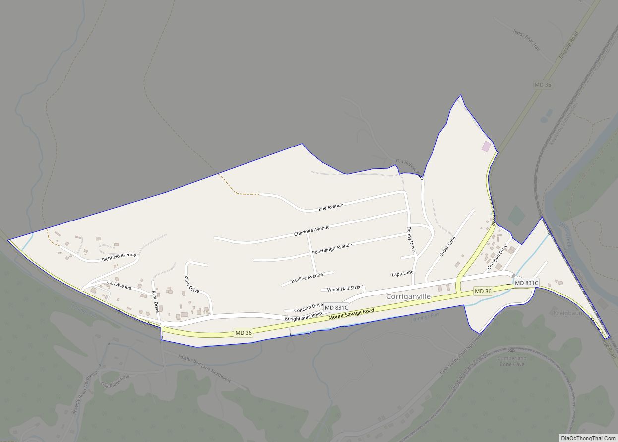
Corriganville is an unincorporated community and census-designated place (CDP) in Allegany County, Maryland, United States. As of the 2010 census it had a population of 455. Corriganville is part of the Cumberland, MD-WV Metropolitan Statistical Area. Corriganville CDP overview: Name: Corriganville CDP LSAD Code: 57 LSAD Description: CDP (suffix) State: Maryland County: Allegany County Elevation: ... Read more
Maryland Cities and Places
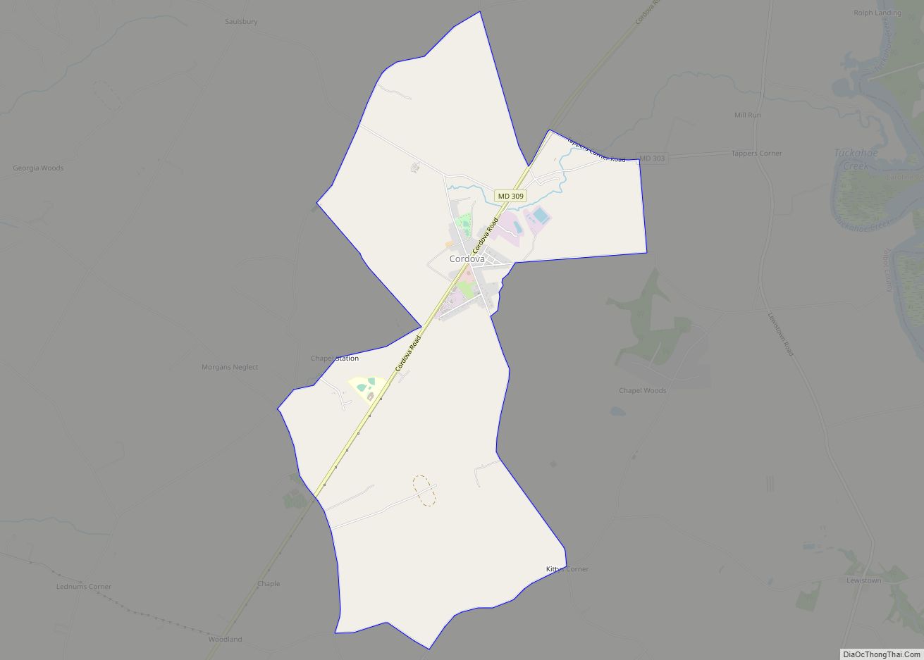
Cordova is a village in Talbot County, Maryland, United States. The population was 592 at the 2000 census. Cordova CDP overview: Name: Cordova CDP LSAD Code: 57 LSAD Description: CDP (suffix) State: Maryland County: Talbot County Elevation: 46 ft (14 m) Total Area: 4.87 sq mi (12.62 km²) Land Area: 4.87 sq mi (12.62 km²) Water Area: 0.00 sq mi (0.00 km²) Total Population: 551 Population ... Read more
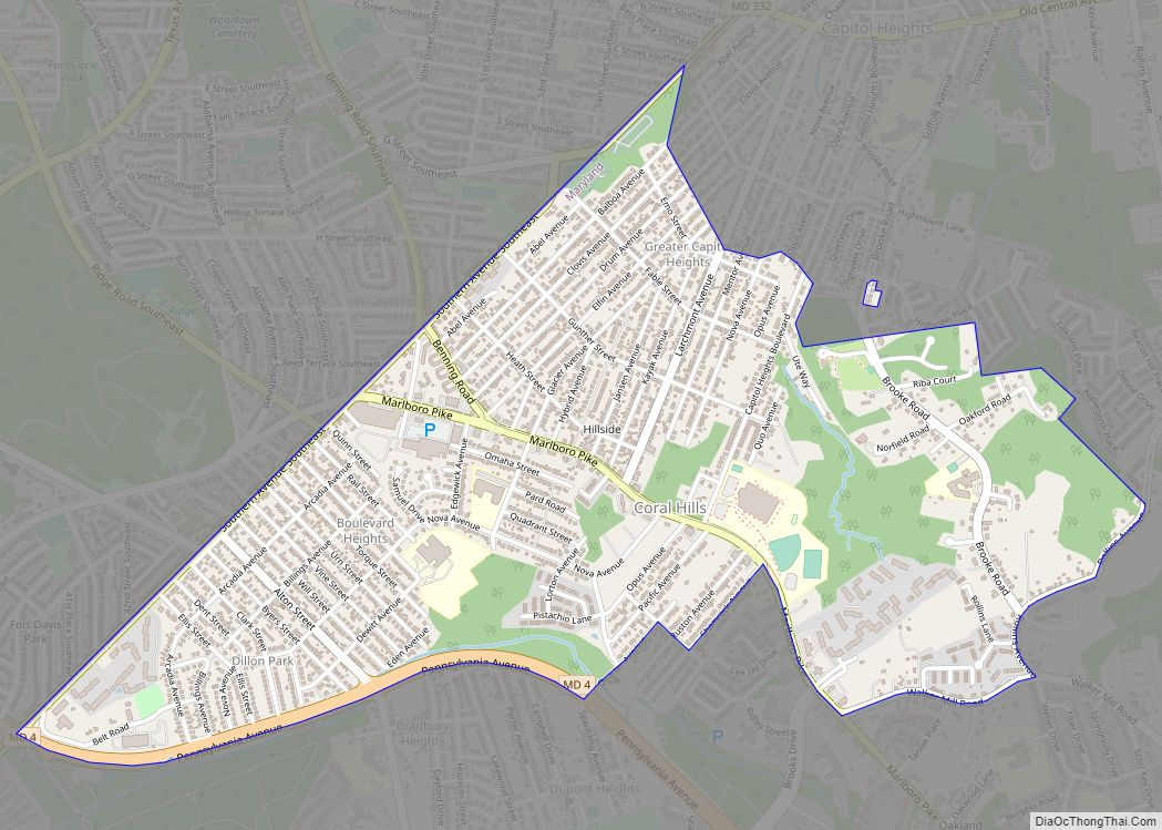
Coral Hills is an unincorporated area and census-designated place (CDP) in Prince George’s County, Maryland, United States. As of the 2020 census, the population was 9,997. Coral Hills CDP overview: Name: Coral Hills CDP LSAD Code: 57 LSAD Description: CDP (suffix) State: Maryland County: Prince George’s County Elevation: 292 ft (89 m) Total Area: 1.64 sq mi (4.24 km²) Land ... Read more
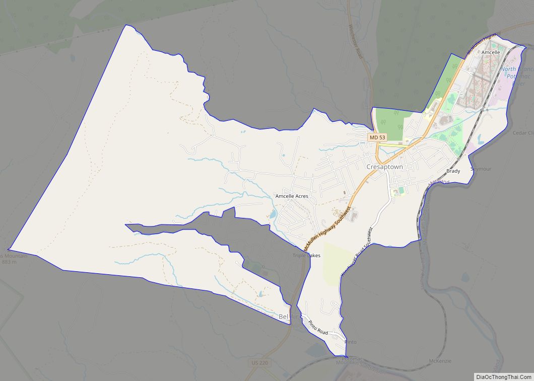
Cresaptown is an unincorporated community and census-designated place (CDP) located in Allegany County, Maryland, United States. As of the 2010 census it had a population of 6,247. Prior to 2010 it was part of the Cresaptown-Bel Air CDP. Cresaptown’s post office was established December 22, 1800. Cresaptown is located 6 miles (10 km) southwest of Cumberland. ... Read more
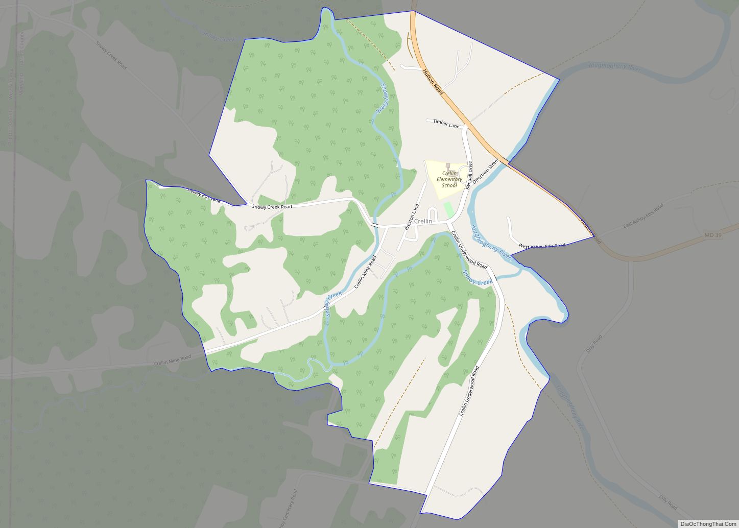
Crellin is an unincorporated community and census-designated place (CDP) in Garrett County, Maryland, United States, with a population of 264 as of the 2010 census. Crellin Elementary School is located in the community, notable for winning the U.S. Green School Award of 2007. Crellin was built as a company town, having been home to a ... Read more
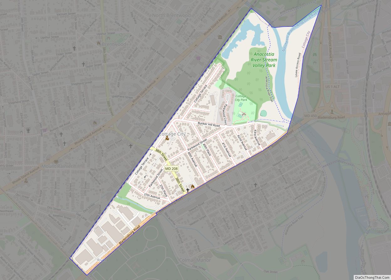
Cottage City, officially the Town of Cottage City, is a town in Prince George’s County, Maryland, United States. Per the 2020 census, the population was 1,335. Cottage City is a small, quiet community lying between Eastern Avenue (the border with Washington), Brentwood, Colmar Manor, and the Anacostia River. Cottage City was developed, beginning in 1870, ... Read more
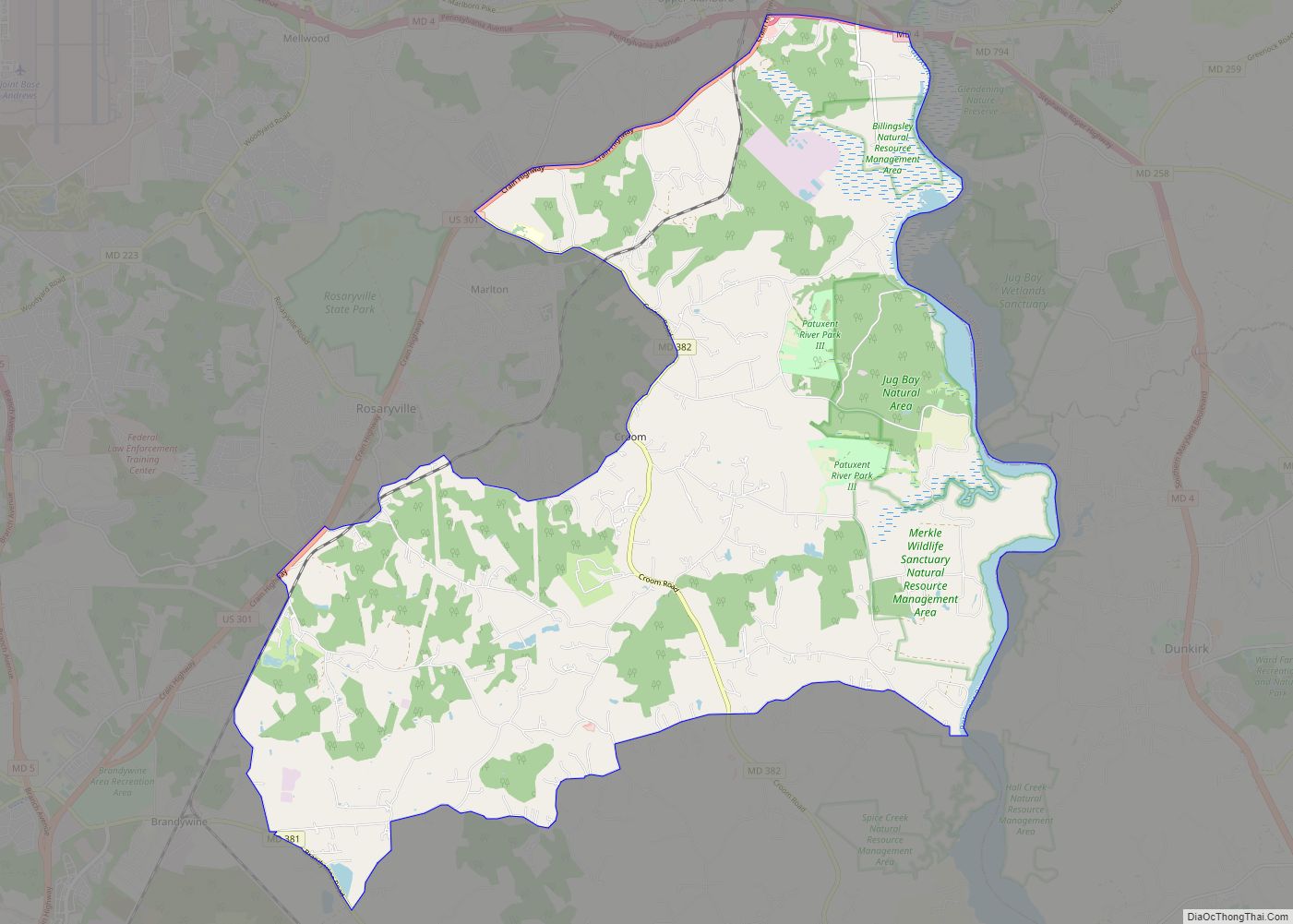
Croom is an unincorporated community and census-designated place in Southern Prince George’s County, Maryland, United States. As of the 2020 census it had a population of 2,720. Croom largely consists of former tobacco farms and forests converted to Washington bedroom subdivisions such as nearby Marlton. The main (Jug Bay Natural Area) part of Patuxent River ... Read more
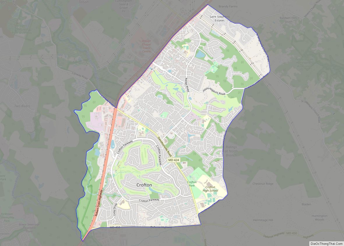
Crofton is a census-designated place and planned community in Anne Arundel County, Maryland, United States, located 9.8 miles (15.8 km) west of the state capital Annapolis, 24 miles (39 km) south of Baltimore, and 24 miles (39 km) east-northeast of Washington, D.C. The community was established in 1964 and as of the 2020 census, it had a population ... Read more
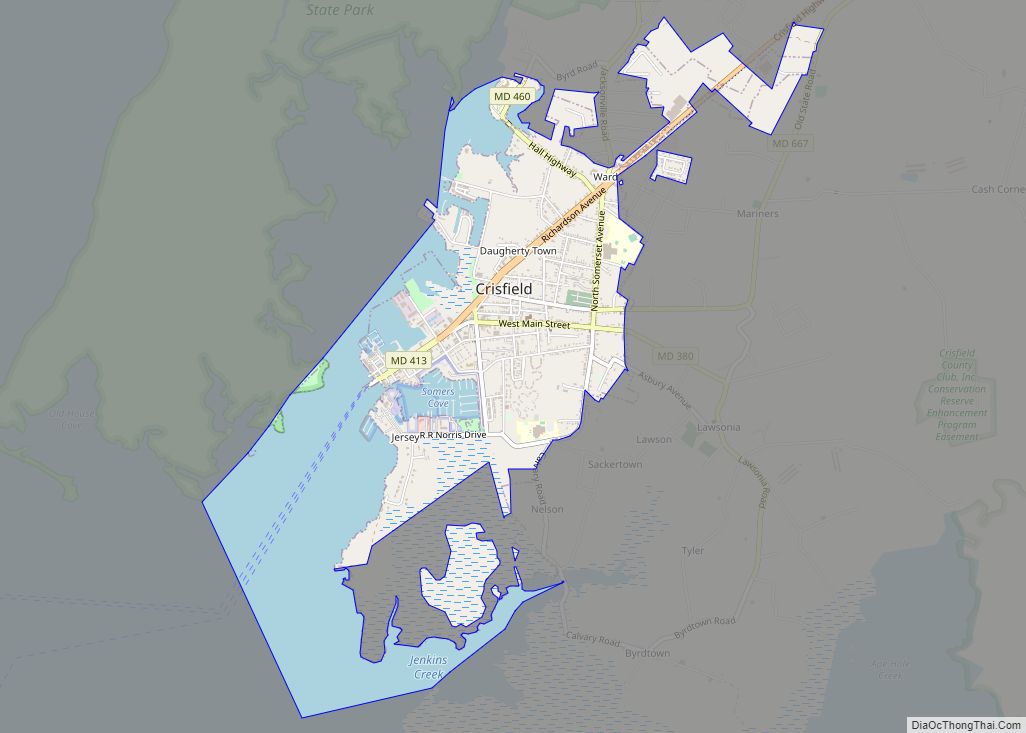
Crisfield is a city in Somerset County, Maryland, United States, located on the Tangier Sound, an arm of the Chesapeake Bay. The population was 2,515 at the 2020 census. It is included in the Salisbury, Maryland-Delaware Metropolitan Statistical Area. Crisfield has the distinction of being the southernmost incorporated city in Maryland. The site of today’s ... Read more
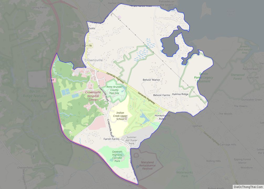
Crownsville is a census-designated place (CDP) in Anne Arundel County, Maryland, United States. The population was 1,757 at the 2010 census. It hosts the Anne Arundel County Fair each September, as well as the annual Maryland Renaissance Festival for several summer weekends. A state psychiatric hospital was formerly in Crownsville. The area offers waterfront scenery ... Read more
Damascus is a census-designated place and an unincorporated area in Montgomery County, Maryland, United States. In the early 20th century, there existed an incorporated municipality lasting a quarter century. It had a population of 17,224 as of the 2020 census. Damascus is located at the intersection of two major roads in upper Montgomery County: Ridge ... Read more
Cumberland is a city in and the county seat of Allegany County, Maryland, United States. At the 2020 census, the city had a population of 19,076. Located on the Potomac River, Cumberland is a regional business and commercial center for Western Maryland and the Potomac Highlands of West Virginia. It is the primary city of ... Read more
