Croom is an unincorporated community and census-designated place in Southern Prince George’s County, Maryland, United States. As of the 2020 census it had a population of 2,720. Croom largely consists of former tobacco farms and forests converted to Washington bedroom subdivisions such as nearby Marlton. The main (Jug Bay Natural Area) part of Patuxent River Park is in Croom.
| Name: | Croom CDP |
|---|---|
| LSAD Code: | 57 |
| LSAD Description: | CDP (suffix) |
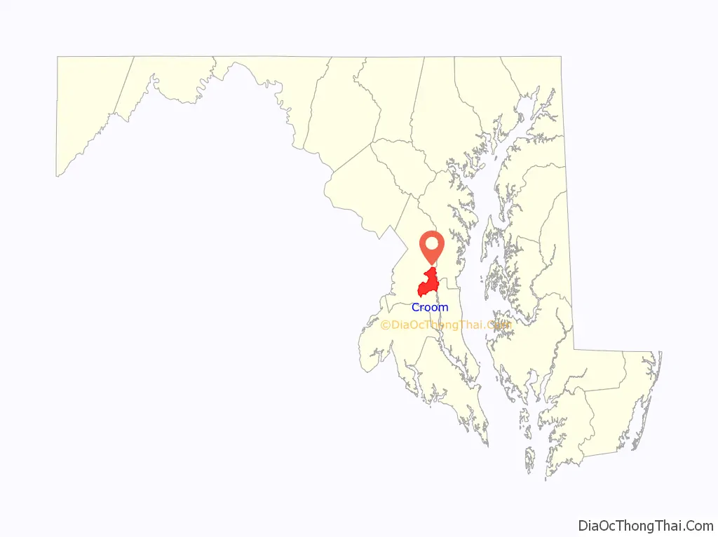
| State: | Maryland |
| County: | Prince George’s County |
| Total Area: | 35.41 sq mi (91.70 km²) |
| Land Area: | 34.19 sq mi (88.56 km²) |
| Water Area: | 1.21 sq mi (3.14 km²) |
| Total Population: | 2,720 |
| Population Density: | 79.55/sq mi (30.71/km²) |
| FIPS code: | 2420925 |
| GNISfeature ID: | 597296 |
Online Interactive Map
Click on ![]() to view map in "full screen" mode.
to view map in "full screen" mode.
Croom location map. Where is Croom CDP?

History
The community was patented in 1671 as Croome by Christopher Rousby; it was named for the manor of Croom, near Sledmere in the East Riding of Yorkshire. In August 1814, British forces marched through Croom on their way to the Burning of Washington in the War of 1812.
St. Thomas’ Episcopal Church dates to colonial times and was listed on the NRHP in 2000. Other buildings on the National Register of Historic Places located at Croom are the John W. Coffren House and Store, Bellefields, Brookefield of the Berrys, Mattaponi (John Bowie Jr. House), St. Thomas’ Episcopal Parish Historic District, and Waverly.
The Columbia Air Center was located in Croom from 1941-1956. It was among the first African-American owned airports in the United States.
Croom Road Map
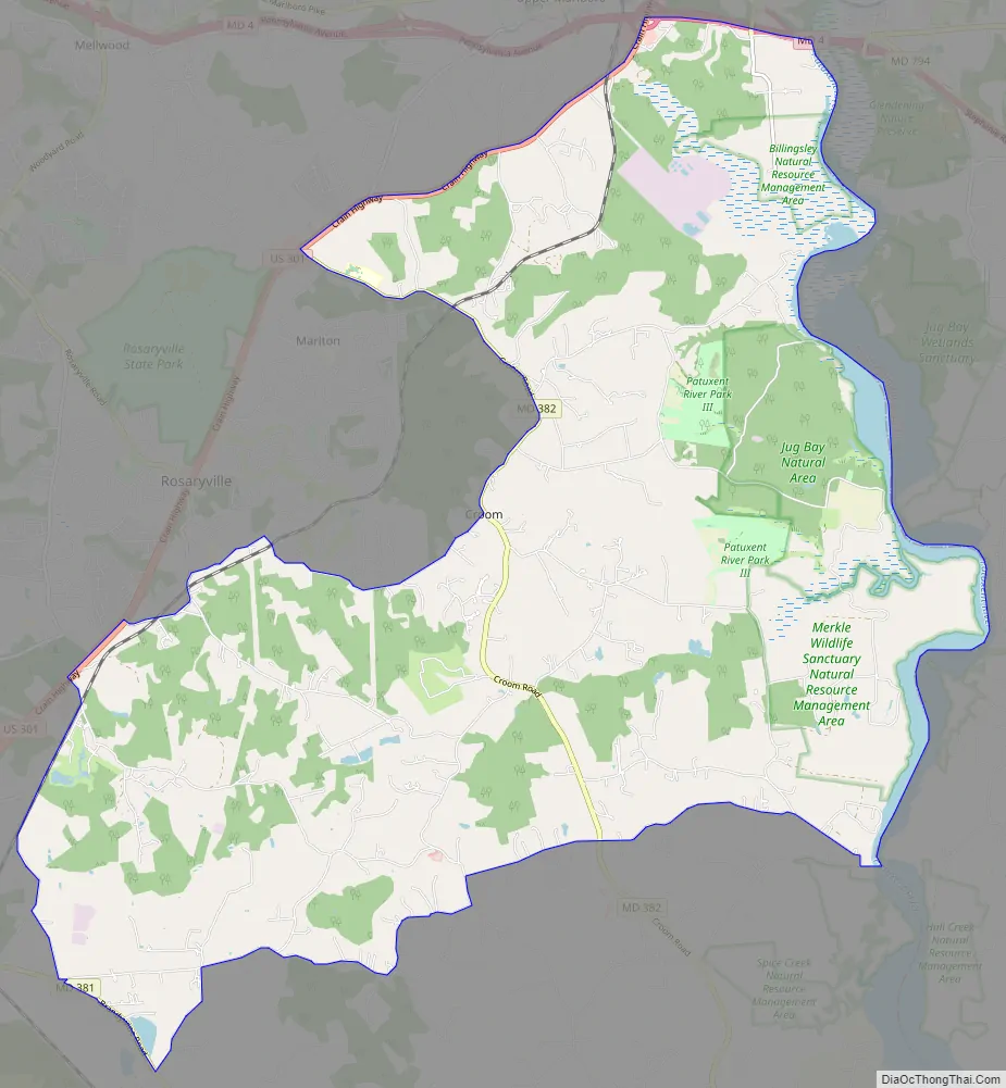
Croom city Satellite Map

Geography
According to the United States Census Bureau, Croom has a total area of 35.4 square miles (91.7 km), of which 34.2 square miles (88.6 km) is land and 1.2 square miles (3.1 km), or 3.43%, is water.
See also
Map of Maryland State and its subdivision: Map of other states:- Alabama
- Alaska
- Arizona
- Arkansas
- California
- Colorado
- Connecticut
- Delaware
- District of Columbia
- Florida
- Georgia
- Hawaii
- Idaho
- Illinois
- Indiana
- Iowa
- Kansas
- Kentucky
- Louisiana
- Maine
- Maryland
- Massachusetts
- Michigan
- Minnesota
- Mississippi
- Missouri
- Montana
- Nebraska
- Nevada
- New Hampshire
- New Jersey
- New Mexico
- New York
- North Carolina
- North Dakota
- Ohio
- Oklahoma
- Oregon
- Pennsylvania
- Rhode Island
- South Carolina
- South Dakota
- Tennessee
- Texas
- Utah
- Vermont
- Virginia
- Washington
- West Virginia
- Wisconsin
- Wyoming


