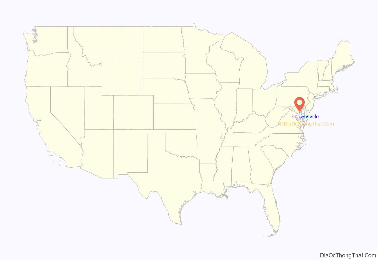
Crownsville is a census-designated place (CDP) in Anne Arundel County, Maryland, United States. The population was 1,757 at the 2010 census. It hosts the Anne Arundel County Fair each September, as well as the annual Maryland Renaissance Festival for several summer weekends. A state psychiatric hospital was formerly in Crownsville. The area offers waterfront scenery and easy access to urban metropolitan areas and culture.
| Name: | Crownsville CDP |
|---|---|
| LSAD Code: | 57 |
| LSAD Description: | CDP (suffix) |
| State: | Maryland |
| County: | Anne Arundel County |
| Elevation: | 121 ft (37 m) |
| Total Area: | 5.09 sq mi (13.19 km²) |
| Land Area: | 5.09 sq mi (13.19 km²) |
| Water Area: | 0.00 sq mi (0.00 km²) |
| Total Population: | 1,924 |
| Population Density: | 377.92/sq mi (145.91/km²) |
| ZIP code: | 21032 |
| Area code: | 410 |
| FIPS code: | 2421075 |
| GNISfeature ID: | 0590052 |
Online Interactive Map
Click on ![]() to view map in "full screen" mode.
to view map in "full screen" mode.
Crownsville location map. Where is Crownsville CDP?
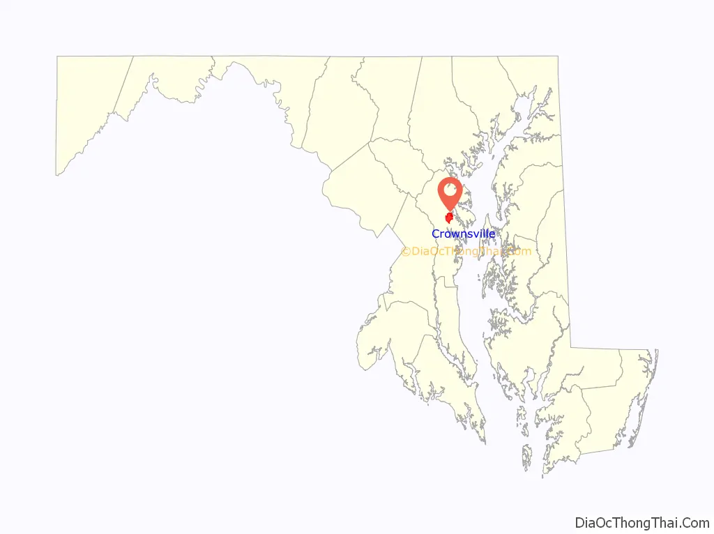
Crownsville Road Map

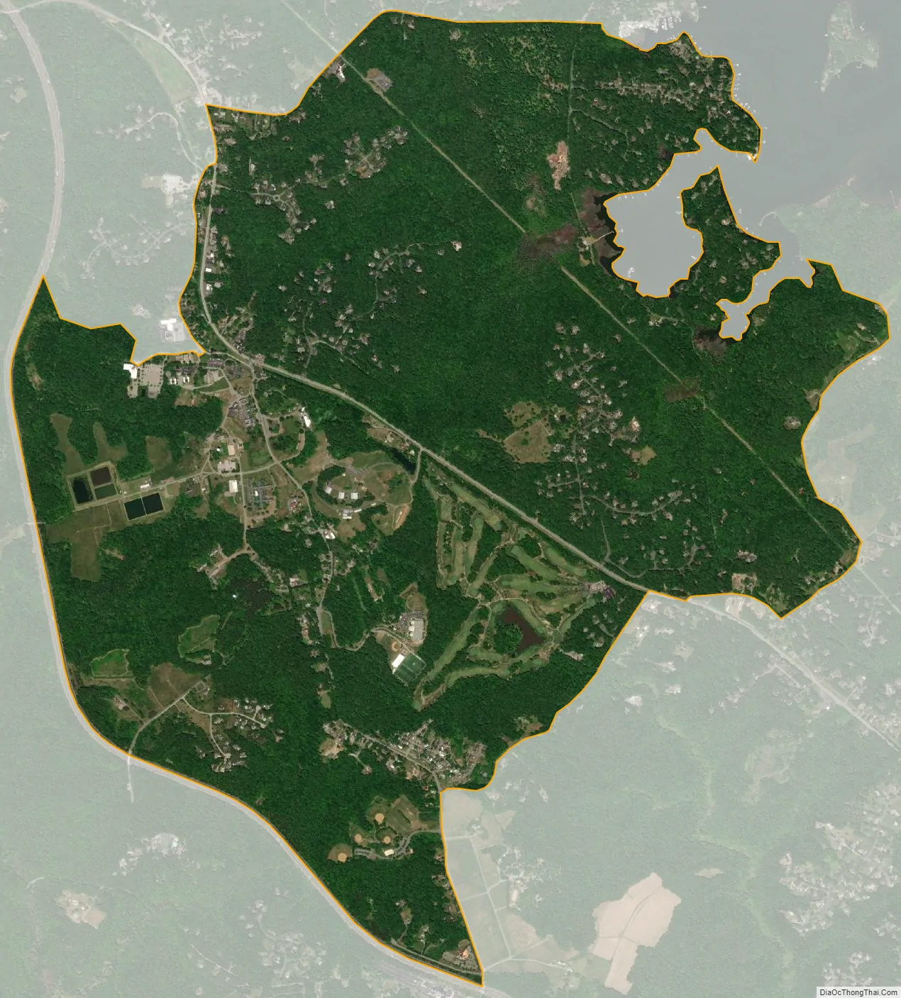
Crownsville city Satellite Map
Geography
Crownsville is located at 39°1′27″N 76°35′54″W / 39.02417°N 76.59833°W / 39.02417; -76.59833 (39.024149, −76.598295), 7 miles (11 km) northwest of Annapolis, the state capital. Maryland Route 178 (Generals Highway) runs through the center of the CDP, and Interstate 97 forms the southwestern edge of the CDP, with access from the north via Exit 5.
According to the United States Census Bureau, the CDP has a total area of 5.1 square miles (13.2 km), all land. However, waterfront communities such as Arden On The Severn and Herald Harbor have Crownsville addresses.
See also
Map of Maryland State and its subdivision: Map of other states:- Alabama
- Alaska
- Arizona
- Arkansas
- California
- Colorado
- Connecticut
- Delaware
- District of Columbia
- Florida
- Georgia
- Hawaii
- Idaho
- Illinois
- Indiana
- Iowa
- Kansas
- Kentucky
- Louisiana
- Maine
- Maryland
- Massachusetts
- Michigan
- Minnesota
- Mississippi
- Missouri
- Montana
- Nebraska
- Nevada
- New Hampshire
- New Jersey
- New Mexico
- New York
- North Carolina
- North Dakota
- Ohio
- Oklahoma
- Oregon
- Pennsylvania
- Rhode Island
- South Carolina
- South Dakota
- Tennessee
- Texas
- Utah
- Vermont
- Virginia
- Washington
- West Virginia
- Wisconsin
- Wyoming


