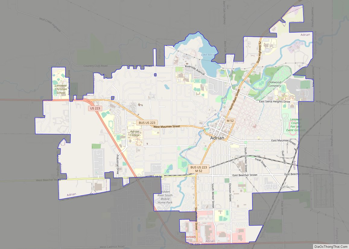
Adrian is a city in the U.S. state of Michigan and the county seat of Lenawee County. The population was 20,645 at the 2020 census. Adrian lies in Michigan’s 5th congressional district. Adrian city overview: Name: Adrian city LSAD Code: 25 LSAD Description: city (suffix) State: Michigan County: Lenawee County Founded: 1826 Incorporated: 1836 (village)1853 ... Read more
Michigan Cities and Places
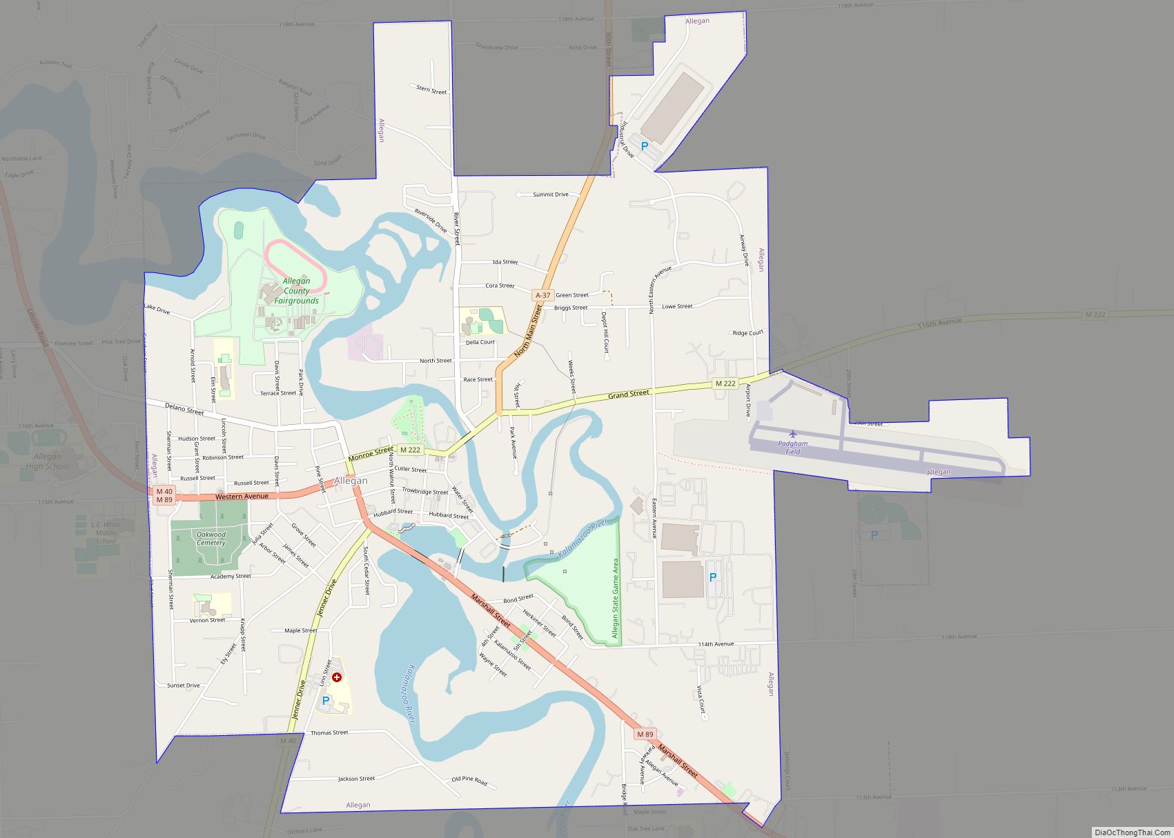
Allegan (/ˈæləɡən/ AL-ə-gən) is a city in the U.S. state of Michigan. Its population was 5,222 at the 2020 census. It is the county seat of Allegan County. It lies within Allegan Township but is administratively autonomous. Allegan city overview: Name: Allegan city LSAD Code: 25 LSAD Description: city (suffix) State: Michigan County: Allegan County ... Read more
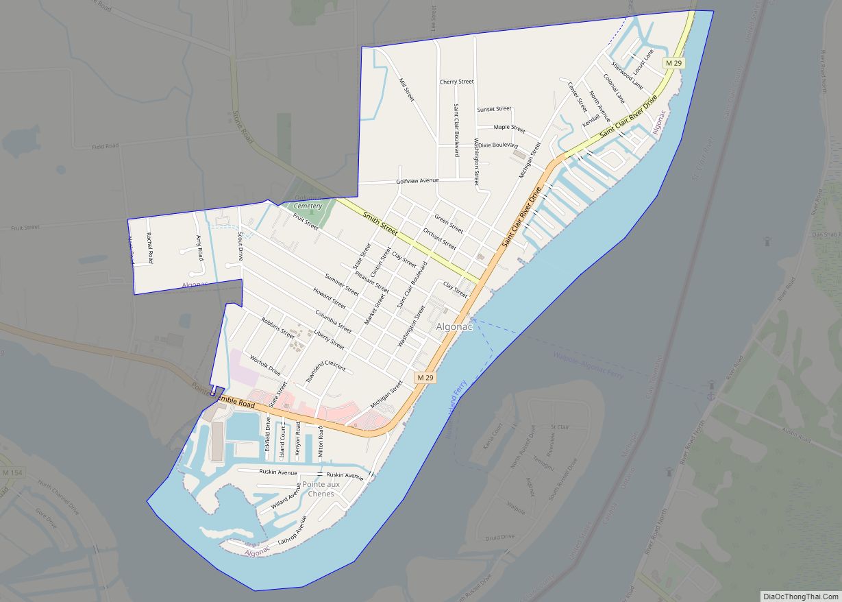
Algonac is a city in St. Clair County of the U.S. state of Michigan. The population was 4,196 at the 2020 census. Algonac is located at the southern end of the St. Clair River, just before it splits into a large delta region known as the St. Clair Flats. (Coordinates 42°36′N 82°34′W / 42.6°N 82.56°W ... Read more
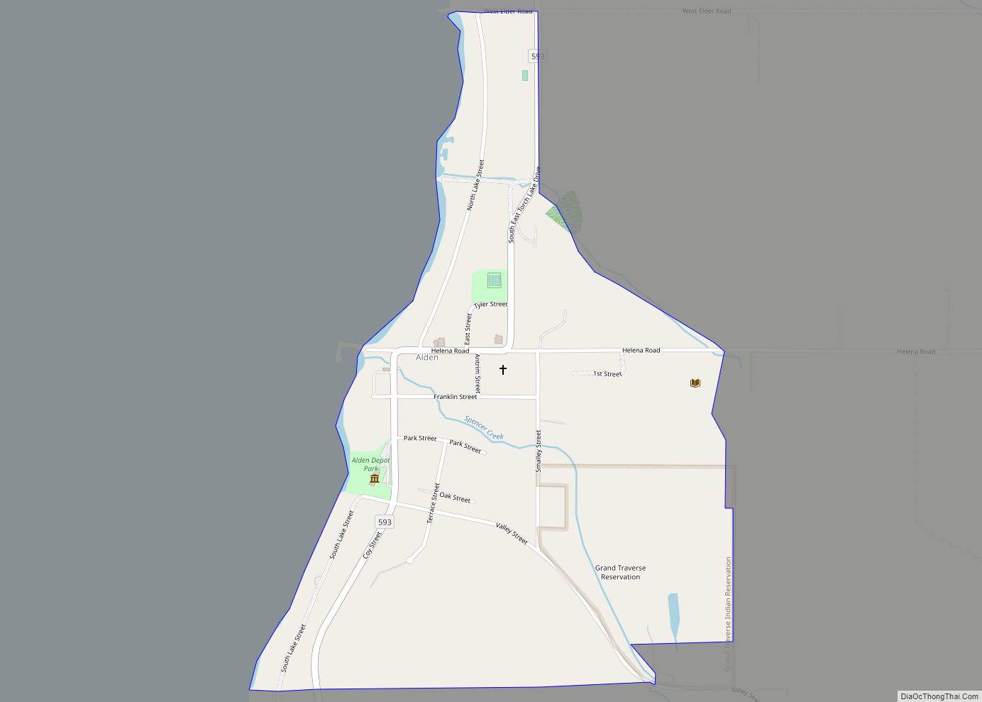
Alden is an unincorporated community and census-designated place (CDP) located in Antrim County in the U.S. state of Michigan. Located within Helena Township, the community is located upon the shores of Torch Lake. The population of the CDP was 123 at the 2020 census. Alden CDP overview: Name: Alden CDP LSAD Code: 57 LSAD Description: ... Read more
Albion is a city in Calhoun County in the south central region of the Lower Peninsula of the U.S. state of Michigan. The population was 7,700 at the 2020 census and is part of the Battle Creek Metropolitan Statistical Area. The earliest English-speaking settlers also referred to this area as The Forks, because it is ... Read more
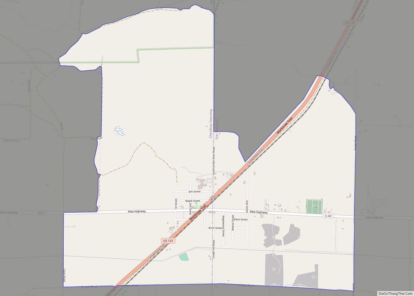
Alba is an unincorporated community and census-designated place (CDP) located in Antrim County in the U.S. state of Michigan. The population was 287 at the 2020 census. Located just north of Mancelona along U.S. Route 131, Alba is divided between Star Township on the east and Chestonia Township on the west. Alba CDP overview: Name: ... Read more
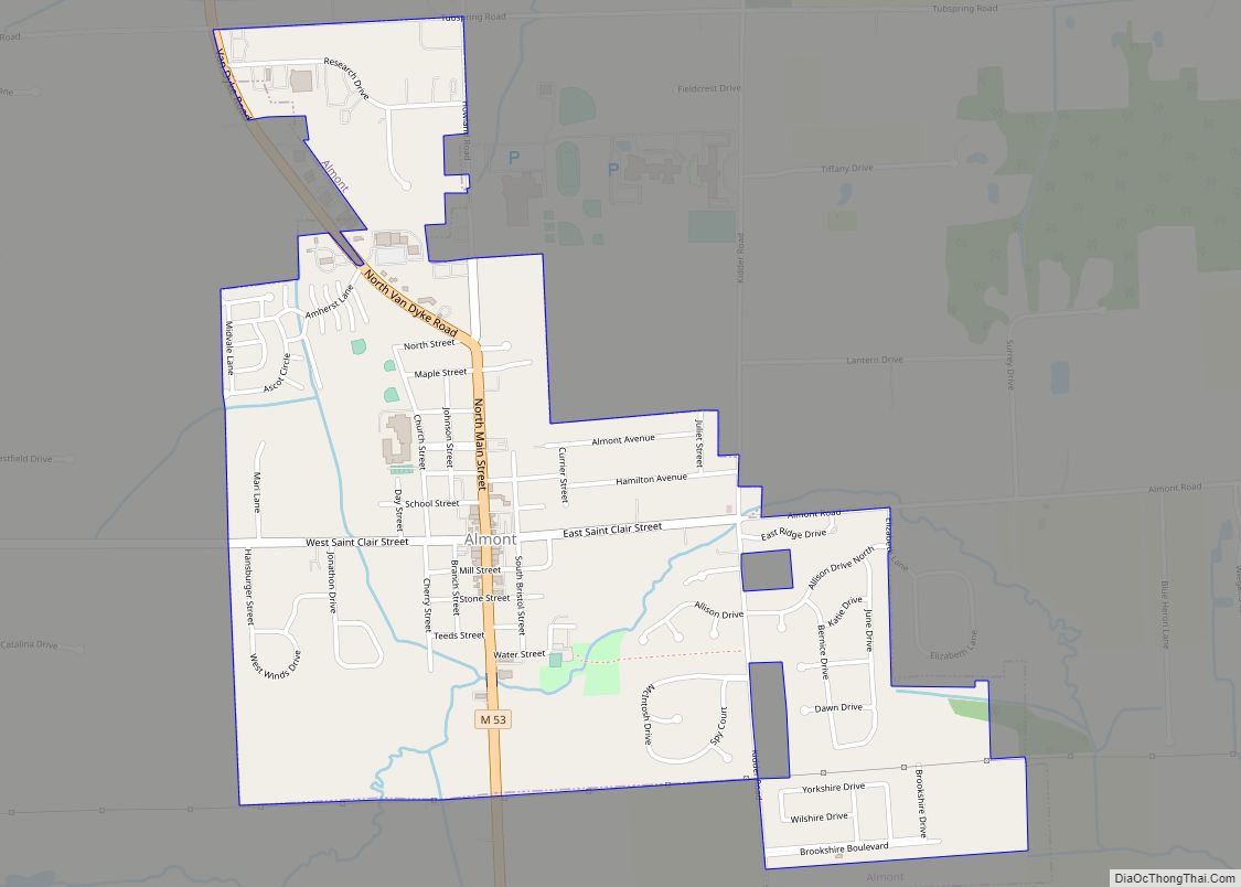
Almont is a village in Almont Township, Lapeer County, Michigan. Its population was 2,846 at the 2020 census. Almont village overview: Name: Almont village LSAD Code: 47 LSAD Description: village (suffix) State: Michigan County: Lapeer County Elevation: 850 ft (259 m) Total Area: 1.34 sq mi (3.48 km²) Land Area: 1.34 sq mi (3.48 km²) Water Area: 0.00 sq mi (0.00 km²) Total Population: 2,846 Population ... Read more
Alma is the largest city in Gratiot County in the U.S. state of Michigan. The population was 9,488 at the 2020 census. It was incorporated as the Village of Alma in 1872 and became a city in 1905. Alma hosts the annual Highland Festival on Memorial Day weekend. It brings members of Scottish clans and ... Read more
Allendale is a census-designated place (CDP) in Ottawa County in the U.S. state of Michigan. The population was 17,579 at the 2010 census. It is located within Allendale Charter Township, occupying approximately the northern two-thirds of the township, from the eastern boundary with the Grand River west along Pierce St., north along 75th Ave., then ... Read more
Allen is a village in Hillsdale County in the U.S. state of Michigan. The population was 201 at the 2020 census. The village is within Allen Township at the junction of U.S. Route 12 and M-49. With a total land area of only 0.174 square miles (0.451 km), Allen is the fourth smallest village by land ... Read more
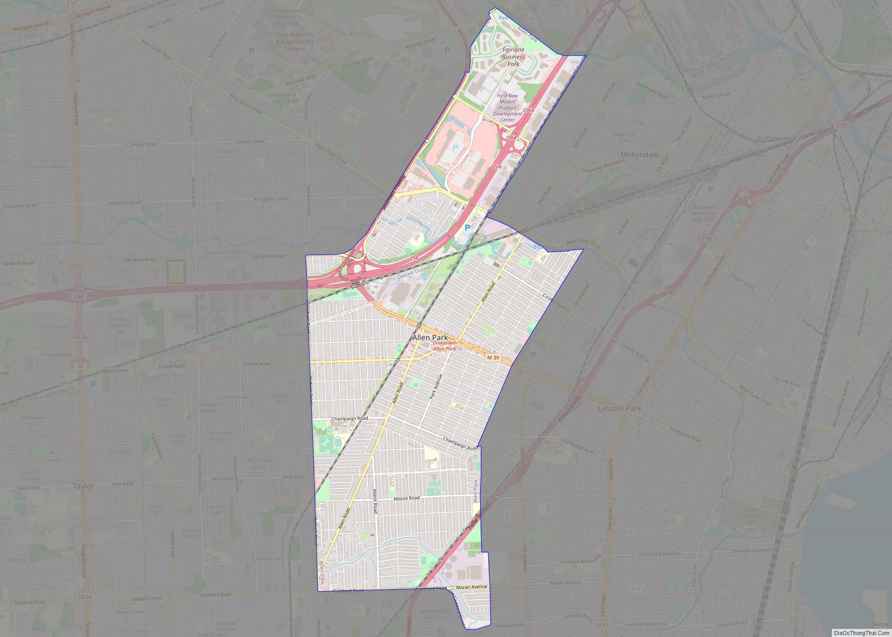
Allen Park is a city in Wayne County in the U.S. state of Michigan. As of the 2020 Census, the population was 28,638. Ford Motor Company is an integral part of the community. Many of the company’s offices and facilities lie within the city limits. Since 2002, Allen Park is the practice home of the ... Read more
Arcadia is an unincorporated community and census-designated place in Arcadia Township, Manistee County, Michigan, United States. Its population was 291 as of the 2010 census. The community is located along M-22 and the Lake Michigan shore. Arcadia has a post office with ZIP code 49613. Arcadia CDP overview: Name: Arcadia CDP LSAD Code: 57 LSAD ... Read more
