Adrian is a city in the U.S. state of Michigan and the county seat of Lenawee County. The population was 20,645 at the 2020 census. Adrian lies in Michigan’s 5th congressional district.
| Name: | Adrian city |
|---|---|
| LSAD Code: | 25 |
| LSAD Description: | city (suffix) |
| State: | Michigan |
| County: | Lenawee County |
| Founded: | 1826 |
| Incorporated: | 1836 (village) 1853 (city) |
| Elevation: | 787 ft (240 m) |
| Total Area: | 8.16 sq mi (21.12 km²) |
| Land Area: | 8.01 sq mi (20.74 km²) |
| Water Area: | 0.15 sq mi (0.38 km²) |
| Total Population: | 20,645 |
| Population Density: | 2,578.37/sq mi (995.49/km²) |
| Area code: | 517 |
| FIPS code: | 2600440 |
| GNISfeature ID: | 0619846 |
| Website: | adriancity.com |
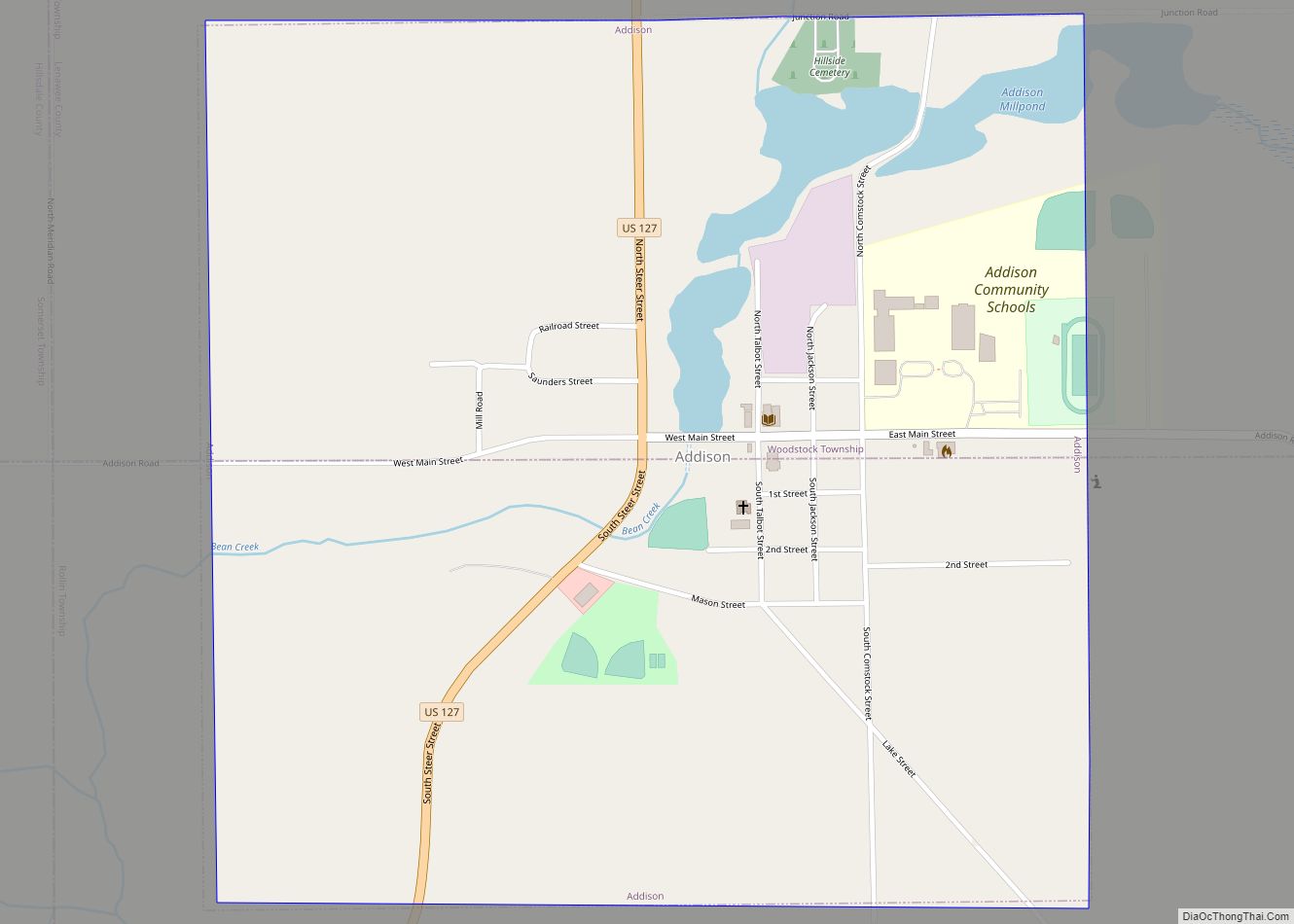
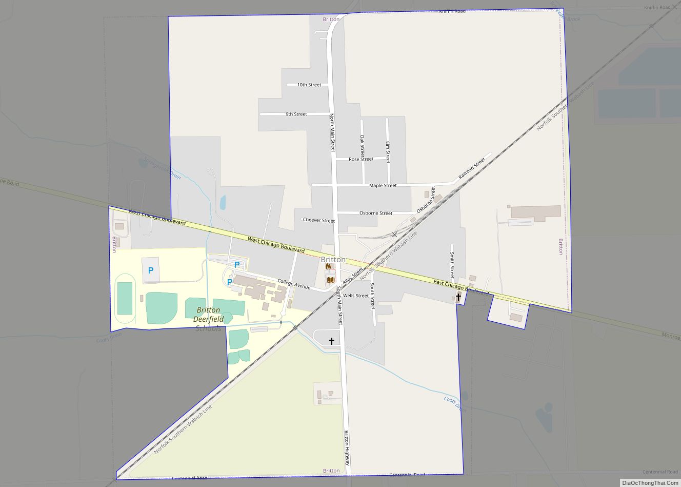
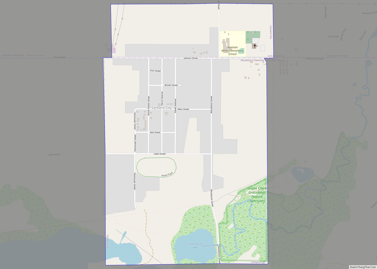
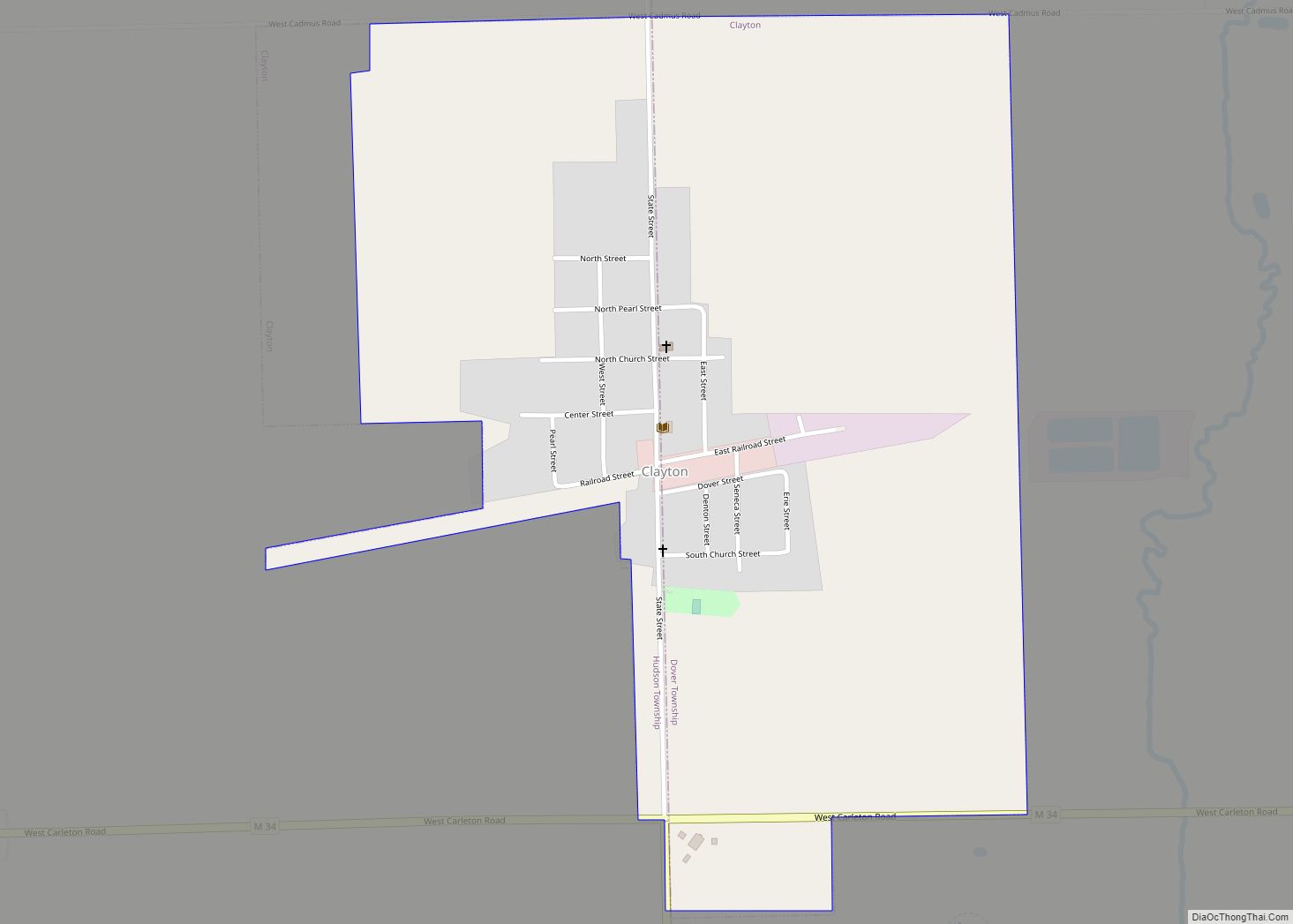
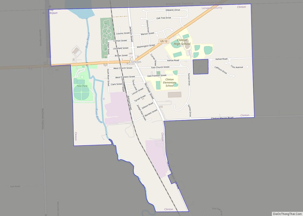
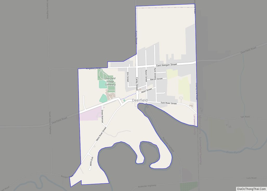
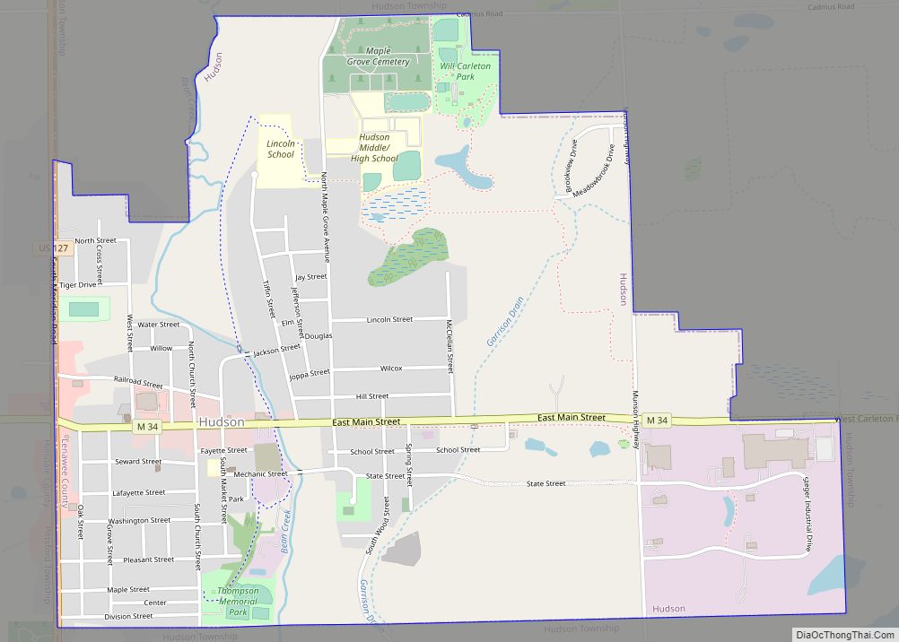
Online Interactive Map
Click on ![]() to view map in "full screen" mode.
to view map in "full screen" mode.
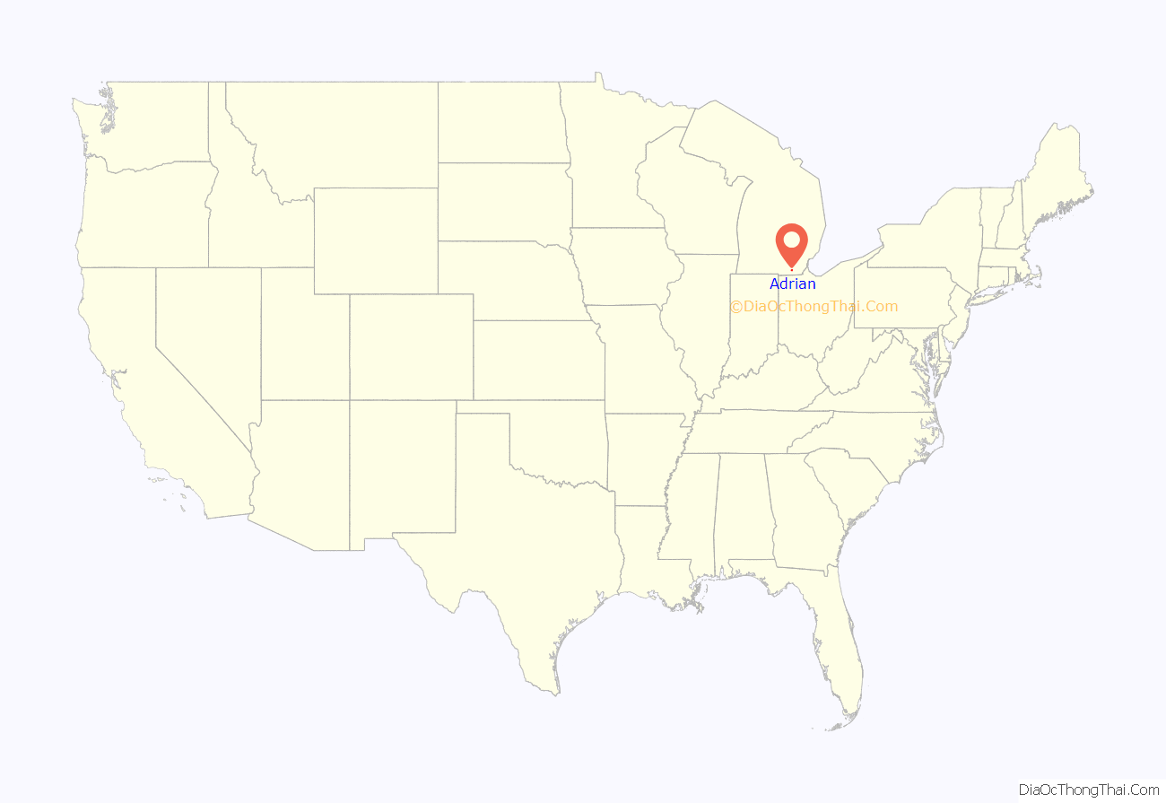
Adrian location map. Where is Adrian city?
History
Adrian was founded on June 18, 1826 by Addison Comstock. The original name for the village was Logan, but was changed soon after to Adrian, perhaps in reference to the Roman emperor Hadrian. The first operating railroad in Michigan was a horse-drawn train running between Adrian and Toledo in 1836. Adrian grew quickly, with the sixth largest population in the state when Michigan was admitted to the Union in 1837, and the third largest population in the state by 1860. Adrian was incorporated as a village on March 28, 1836, then as a city on January 31, 1853.
Underground Railroad
Evangelical and Hicksite Quakers in Southeast Michigan founded the first congregation of Quakers in Michigan in 1831. They also created a network of Underground Railroad stations in the Raisin River Valley. Daniel Smith was the first leader of the Raisin Valley Friends Meeting House. His daughter, Laura Smith Haviland became one of the most prominent equal rights activists and Underground Railroad operators in the nation. Elizabeth Margaret Chandler established the Logan Female Anti-Slavery Society in October 1832. Chandler’s society preceded the Female Anti-Slavery Society in Philadelphia and the Michigan statewide organization. The Adrian-Tecumseh Underground Railroad network was established by a Baptist minister in northern Lenawee County.
Late 1800s and 1900s
The only remaining piece of the Bank of Pennsylvania— one of the stone pillars — was moved to Adrian, Michigan and erected as the Civil War Memorial in commemoration of those in Adrian who died in the American Civil War.
In the late 19th century through early 20th century Adrian was known as the “fence capital of the world,” when J. Wallace Page invented the first successful wire fence. Adrian became known worldwide as a fencing manufacturing hub and its fences were shipped as far as New York, Berlin, Asia, and Africa. The company sponsored the highly successful Page Fence Giants black baseball team.
Adrian was an early auto manufacturing hub. One of the first motor vehicles, the Lion automobile, was created in Adrian. Between 1900 and 1912, three major car models were manufactured in Adrian; in addition to the Lion the Murry Motor Car and Lenawee Car were made by the Church Manufacturing Company in Adrian. The area was poised to be a world center until bad financial decisions at Church Manufacturing Company and a 1912 plant fire at Lion Automobile led to the demise of both companies.
Throughout the 1900s Adrian continued to grow, doubling in size, but as a slower rate than Michigan as a whole (which tripled in size).
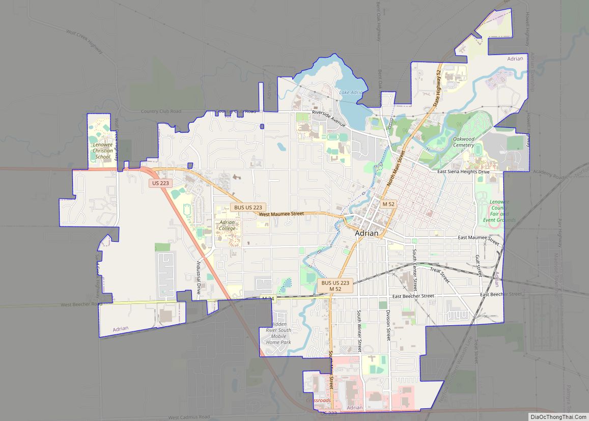
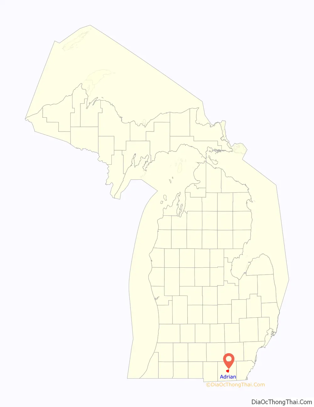
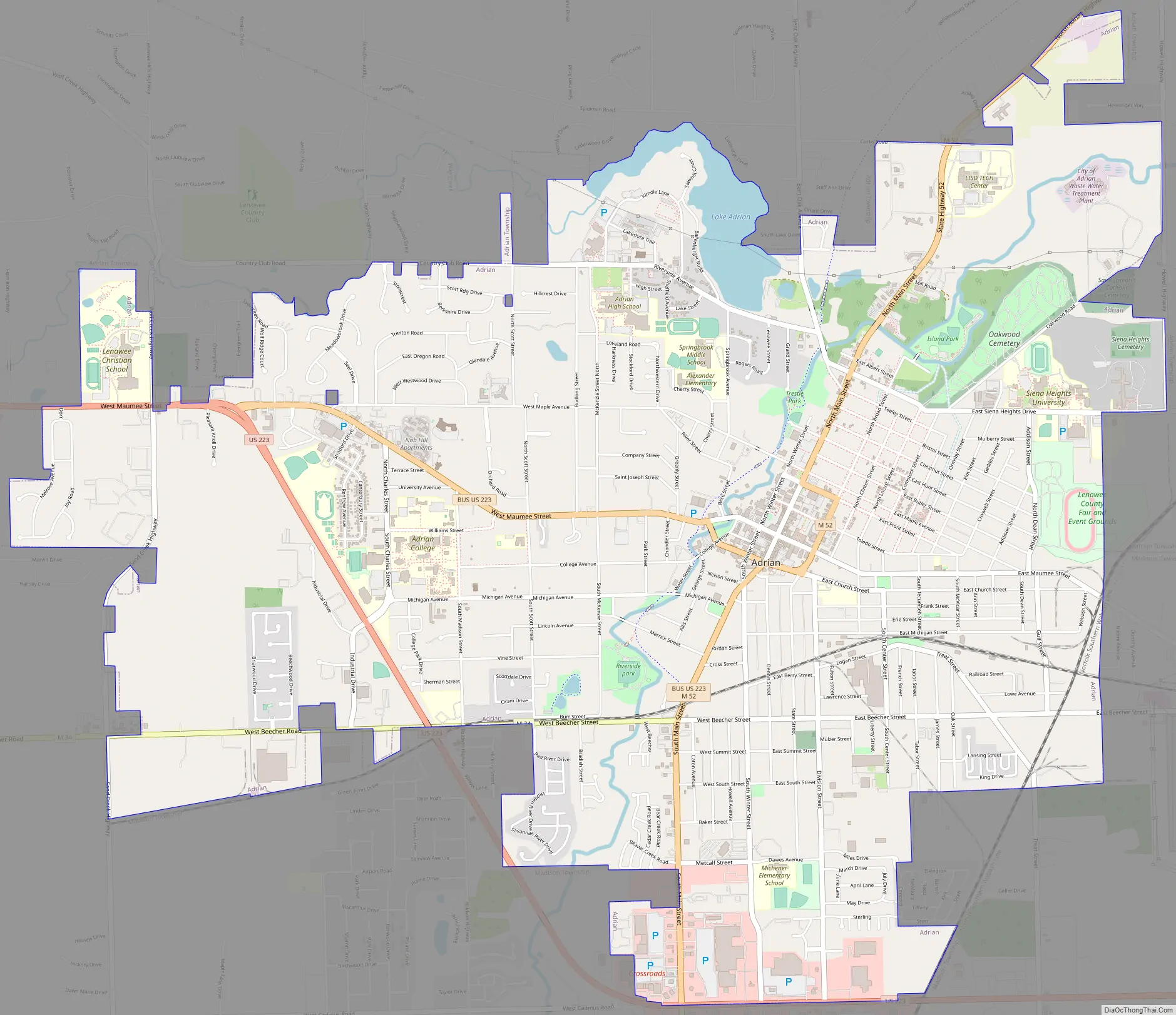
Adrian Road Map
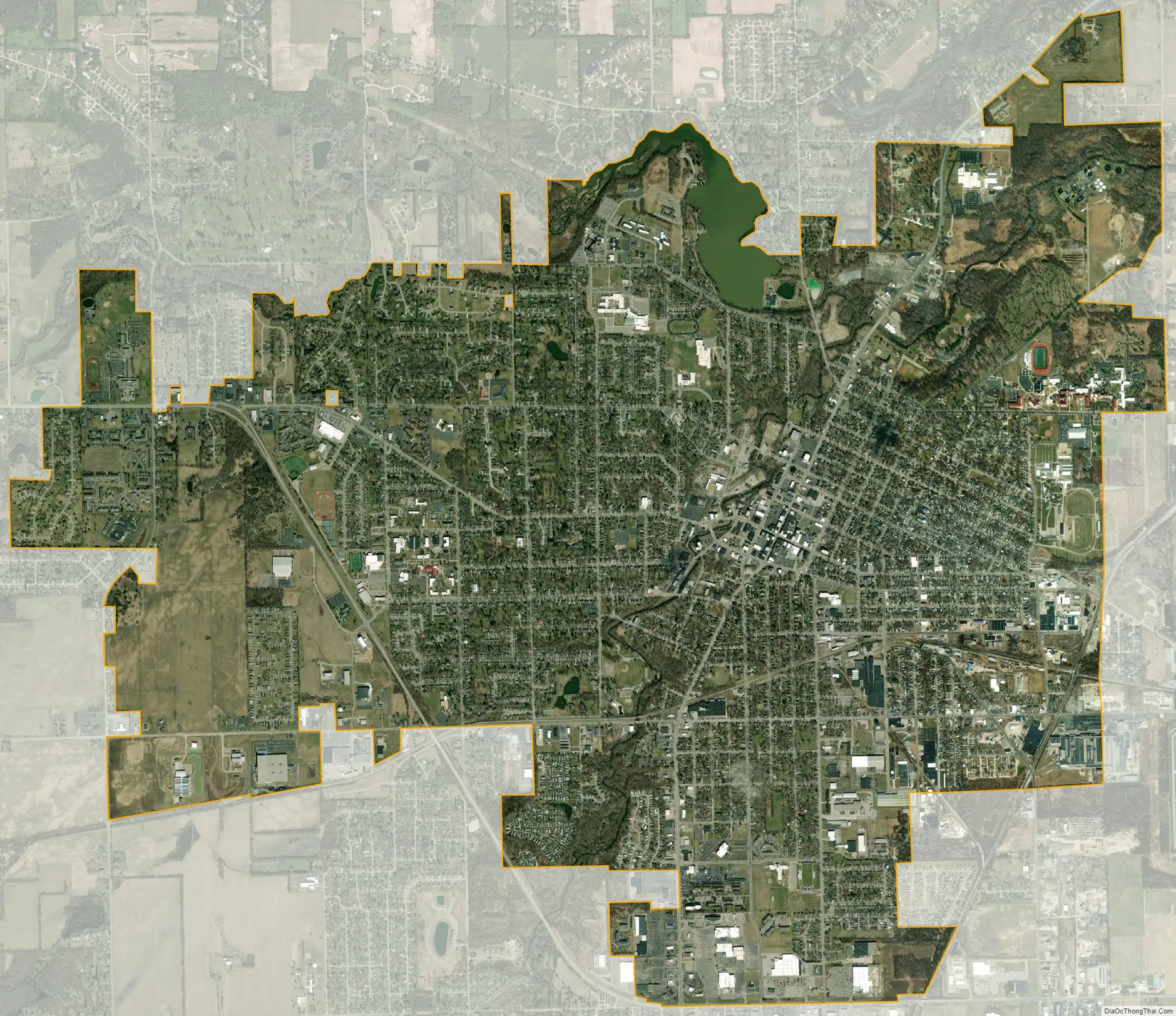
Adrian city Satellite Map
Geography
According to the United States Census Bureau, the city has a total area of 8.10 square miles (20.98 km), of which 7.95 square miles (20.59 km) is land and 0.15 square miles (0.39 km) is water.
The town is approximately 15 miles (24 km) southeast of the Irish Hills area of Michigan, an area known for its many lakes and rolling hills, and home to the Irish Famine Memorial and Michigan International Speedway. Many town residents take advantage of this area for boating and recreation. Devils Lake, Round Lake, Posey Lake and Wamplers Lake are popular weekend destinations within a few miles.
Climate
See also
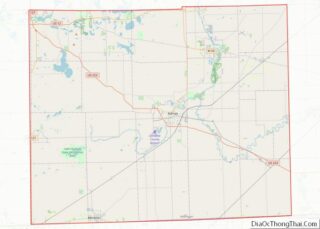
Map of Michigan State and its subdivision:- Alcona
- Alger
- Allegan
- Alpena
- Antrim
- Arenac
- Baraga
- Barry
- Bay
- Benzie
- Berrien
- Branch
- Calhoun
- Cass
- Charlevoix
- Cheboygan
- Chippewa
- Clare
- Clinton
- Crawford
- Delta
- Dickinson
- Eaton
- Emmet
- Genesee
- Gladwin
- Gogebic
- Grand Traverse
- Gratiot
- Hillsdale
- Houghton
- Huron
- Ingham
- Ionia
- Iosco
- Iron
- Isabella
- Jackson
- Kalamazoo
- Kalkaska
- Kent
- Keweenaw
- Lake
- Lake Hurron
- Lake Michigan
- Lake St. Clair
- Lake Superior
- Lapeer
- Leelanau
- Lenawee
- Livingston
- Luce
- Mackinac
- Macomb
- Manistee
- Marquette
- Mason
- Mecosta
- Menominee
- Midland
- Missaukee
- Monroe
- Montcalm
- Montmorency
- Muskegon
- Newaygo
- Oakland
- Oceana
- Ogemaw
- Ontonagon
- Osceola
- Oscoda
- Otsego
- Ottawa
- Presque Isle
- Roscommon
- Saginaw
- Saint Clair
- Saint Joseph
- Sanilac
- Schoolcraft
- Shiawassee
- Tuscola
- Van Buren
- Washtenaw
- Wayne
- Wexford
- Alabama
- Alaska
- Arizona
- Arkansas
- California
- Colorado
- Connecticut
- Delaware
- District of Columbia
- Florida
- Georgia
- Hawaii
- Idaho
- Illinois
- Indiana
- Iowa
- Kansas
- Kentucky
- Louisiana
- Maine
- Maryland
- Massachusetts
- Michigan
- Minnesota
- Mississippi
- Missouri
- Montana
- Nebraska
- Nevada
- New Hampshire
- New Jersey
- New Mexico
- New York
- North Carolina
- North Dakota
- Ohio
- Oklahoma
- Oregon
- Pennsylvania
- Rhode Island
- South Carolina
- South Dakota
- Tennessee
- Texas
- Utah
- Vermont
- Virginia
- Washington
- West Virginia
- Wisconsin
- Wyoming