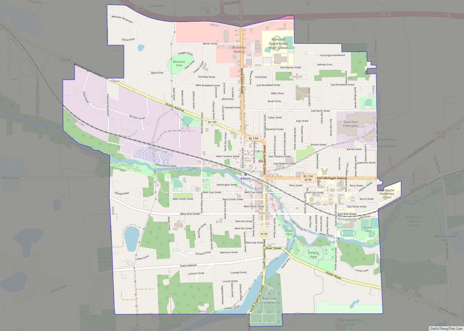
Albion is a city in Calhoun County in the south central region of the Lower Peninsula of the U.S. state of Michigan. The population was 7,700 at the 2020 census and is part of the Battle Creek Metropolitan Statistical Area.
The earliest English-speaking settlers also referred to this area as The Forks, because it is situated at the confluence of the north and south branches of the Kalamazoo River. In the early 20th century, immigrants came to Albion from a variety of eastern European nations, including the current Lithuania and Russia. More recently, Hispanic or Latino immigrants have come from Mexico and Central America. The Festival of the Forks has been held annually since 1967 to celebrate Albion’s diverse ethnic heritage.
Since the 19th century, several major manufacturers were established here and Albion became known as a factory town. This has changed with the closure of several manufacturers. In the 21st century, Albion’s culture is changing to that of a college town whose residents have a strong interest in technology and sustainability issues. Albion College is a private liberal arts college with a student population of about 1,250. Albion is a sister city with Noisy-le-Roi, France.
| Name: | Albion city |
|---|---|
| LSAD Code: | 25 |
| LSAD Description: | city (suffix) |
| State: | Michigan |
| County: | Calhoun County |
| Elevation: | 951 ft (290 m) |
| Total Area: | 4.50 sq mi (11.66 km²) |
| Land Area: | 4.41 sq mi (11.42 km²) |
| Water Area: | 0.09 sq mi (0.24 km²) |
| Total Population: | 7,700 |
| Population Density: | 1,746.03/sq mi (674.14/km²) |
| ZIP code: | 49224 |
| Area code: | 517 |
| FIPS code: | 2600980 |
| GNISfeature ID: | 0619906 |
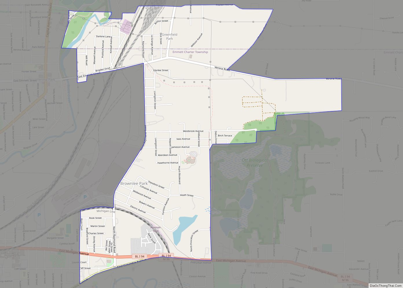
Online Interactive Map
Click on ![]() to view map in "full screen" mode.
to view map in "full screen" mode.
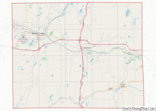
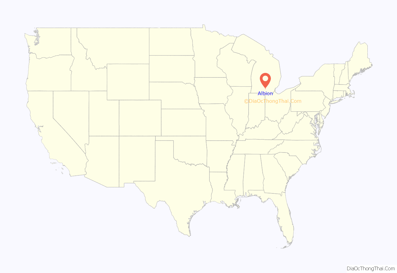
Albion location map. Where is Albion city?

History
The first European-American settler, Tenney Peabody, arrived in 1833 along with his brother-in-law Charles Blanchard, and another young man named Clark Dowling. Peabody’s family followed soon after. In 1835, the Albion Company, a land development company formed by Jesse Crowell, platted a village. Peabody’s wife was asked to name the settlement. She considered the name “Peabodyville”, but selected “Albion” instead, after the former residence of Jesse Crowell. Crowell was appointed in 1838 as the first US postmaster here.
Many early settlers migrated here from western New York and New England, part of a movement after construction of the Erie Canal, and opening of new lands in Michigan and other Great Lakes territories. They first developed agriculture and it became a rural trading village. Settlers were strong supporters of education and in 1835, Methodists established Albion College affiliated with their church. The first classes were held in Albion in 1843. The college was known by a few other names before 1861. At that time it was fully authorized to confer four-year degrees on both men and women.
Albion incorporated as a village in 1855, following construction of the railroad here in 1852, which stimulated development. It became a city in 1885.
Mills were constructed to operate on the water power of the forks of the Kalamazoo River. They were the first industry in the town, used to process lumber, grain and other products to build the village. Albion quickly became a mill town as well as an agricultural market. The river that powered industry also flooded the town.
In the Great Flood of 1908, there was severe property damage. In February, snowstorms had deposited several feet of snow across the region. Heavy rains and warmer conditions in early March created water saturation in the ground and risk of flooding because of the high flow in the rivers. After the Homer Dam broke around 3 p.m. on March 7, the Kalamazoo River flooded Albion. By midnight, the bridges surrounding town were underwater. Six buildings in Albion collapsed, resulting in more than US$125,000 in damage (1908 dollars). The town struggled to recover.
In the late 19th and early 20th centuries, numerous Lithuanian and other Eastern European immigrants settled here, most working for the Albion Malleable Iron Company, and some in the coal mine north of town. The iron company had initially made agricultural implements but around World War I shifted to making automotive parts. The Malleable merged in 1969 with the Hayes Corporation, becoming the Hayes-Albion Corporation. Now known as a division of Harvard Industries, the company continues to produce automotive castings in Albion. Molder Statue Park in downtown is dedicated to the many molders who dealt with molten iron.
There were soon enough Lithuanians in town to establish Holy Ascension Orthodox Church, which they built in 1916. It is part of the Orthodox Church in America. Today its services are in English.
The city had its peak of population in 1960. In 1973 Albion was named an All-America City by the National Civic League. It celebrated winning the award on May 15, 1974, when the Governor of Michigan, William Milliken, and many dignitaries came to town. In 1975 the closure of a major factory began a difficult period of industrial restructuring and decline in jobs and population.
Since that time citizens have mobilized, founding the Albion Community Foundation in 1968. They formed the Albion Volunteer Service Organization in the 1980s, with support from Albion College, to address the challenge of diminishing economic opportunity.
Key to the City Honor Bestowed:
- 1964: Aunt Jemima visited Albion on January 25.
- 1960s: Columnist Ann Landers was presented with a key upon her visit to Starr Commonwealth for Boys.
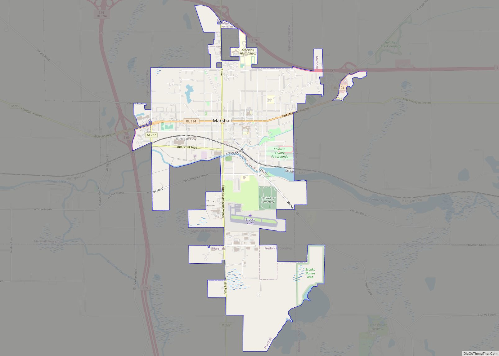
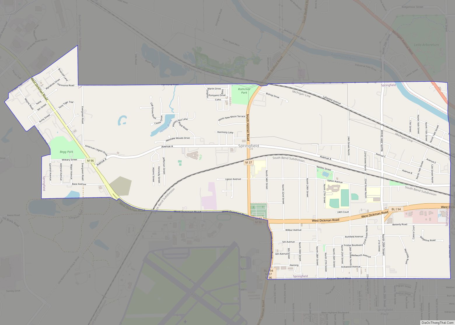
Albion Road Map

Albion city Satellite Map
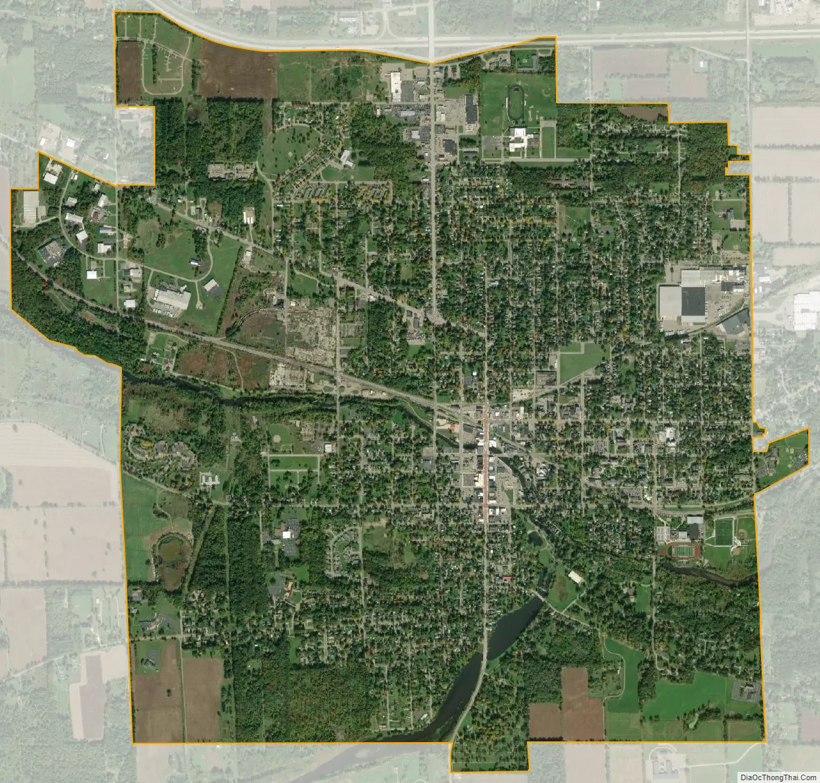
Geography
According to the United States Census Bureau, the city has a total area of 4.51 square miles (11.68 km), of which 4.41 square miles (11.42 km) is land and 0.10 square miles (0.26 km) is water. Albion is positioned 42.24 degrees north of the equator and 84.75 degrees west of the prime meridian.
See also
Map of Michigan State and its subdivision:- Alcona
- Alger
- Allegan
- Alpena
- Antrim
- Arenac
- Baraga
- Barry
- Bay
- Benzie
- Berrien
- Branch
- Calhoun
- Cass
- Charlevoix
- Cheboygan
- Chippewa
- Clare
- Clinton
- Crawford
- Delta
- Dickinson
- Eaton
- Emmet
- Genesee
- Gladwin
- Gogebic
- Grand Traverse
- Gratiot
- Hillsdale
- Houghton
- Huron
- Ingham
- Ionia
- Iosco
- Iron
- Isabella
- Jackson
- Kalamazoo
- Kalkaska
- Kent
- Keweenaw
- Lake
- Lake Hurron
- Lake Michigan
- Lake St. Clair
- Lake Superior
- Lapeer
- Leelanau
- Lenawee
- Livingston
- Luce
- Mackinac
- Macomb
- Manistee
- Marquette
- Mason
- Mecosta
- Menominee
- Midland
- Missaukee
- Monroe
- Montcalm
- Montmorency
- Muskegon
- Newaygo
- Oakland
- Oceana
- Ogemaw
- Ontonagon
- Osceola
- Oscoda
- Otsego
- Ottawa
- Presque Isle
- Roscommon
- Saginaw
- Saint Clair
- Saint Joseph
- Sanilac
- Schoolcraft
- Shiawassee
- Tuscola
- Van Buren
- Washtenaw
- Wayne
- Wexford
- Alabama
- Alaska
- Arizona
- Arkansas
- California
- Colorado
- Connecticut
- Delaware
- District of Columbia
- Florida
- Georgia
- Hawaii
- Idaho
- Illinois
- Indiana
- Iowa
- Kansas
- Kentucky
- Louisiana
- Maine
- Maryland
- Massachusetts
- Michigan
- Minnesota
- Mississippi
- Missouri
- Montana
- Nebraska
- Nevada
- New Hampshire
- New Jersey
- New Mexico
- New York
- North Carolina
- North Dakota
- Ohio
- Oklahoma
- Oregon
- Pennsylvania
- Rhode Island
- South Carolina
- South Dakota
- Tennessee
- Texas
- Utah
- Vermont
- Virginia
- Washington
- West Virginia
- Wisconsin
- Wyoming