Alma is the largest city in Gratiot County in the U.S. state of Michigan. The population was 9,488 at the 2020 census. It was incorporated as the Village of Alma in 1872 and became a city in 1905.
Alma hosts the annual Highland Festival on Memorial Day weekend. It brings members of Scottish clans and interested onlookers together for a weekend of Highland dancing, bagpipes, kilts, and camaraderie.
Alma College, a small liberal-arts institution of approximately 1,300 students, is located in town and focuses on multidisciplinary learning in a residential setting.
Alma is the birthplace of both the modernist architect Ralph Rapson and writer/composer/lyricist Dan Goggin (Nunsense).
Alma was the home of Leonard Refineries which sold gasoline and other petroleum products throughout the lower peninsula of Michigan from its founding in 1936 until about 1966.
| Name: | Alma city |
|---|---|
| LSAD Code: | 25 |
| LSAD Description: | city (suffix) |
| State: | Michigan |
| County: | Gratiot County |
| Elevation: | 735 ft (224 m) |
| Total Area: | 6.05 sq mi (15.67 km²) |
| Land Area: | 5.89 sq mi (15.26 km²) |
| Water Area: | 0.16 sq mi (0.41 km²) |
| Total Population: | 9,488 |
| Population Density: | 1,610.32/sq mi (621.75/km²) |
| ZIP code: | 48801-48802 |
| Area code: | 989 |
| FIPS code: | 2601540 |
| GNISfeature ID: | 0620002 |
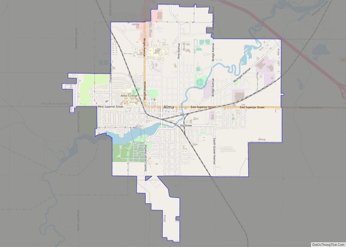
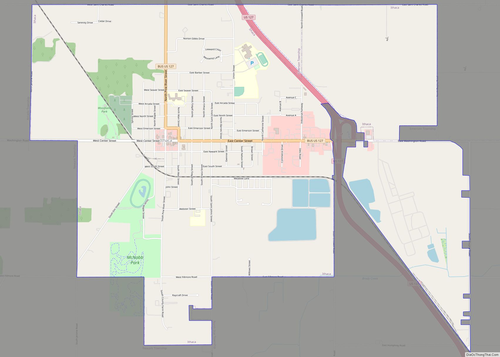
Online Interactive Map
Click on ![]() to view map in "full screen" mode.
to view map in "full screen" mode.
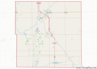
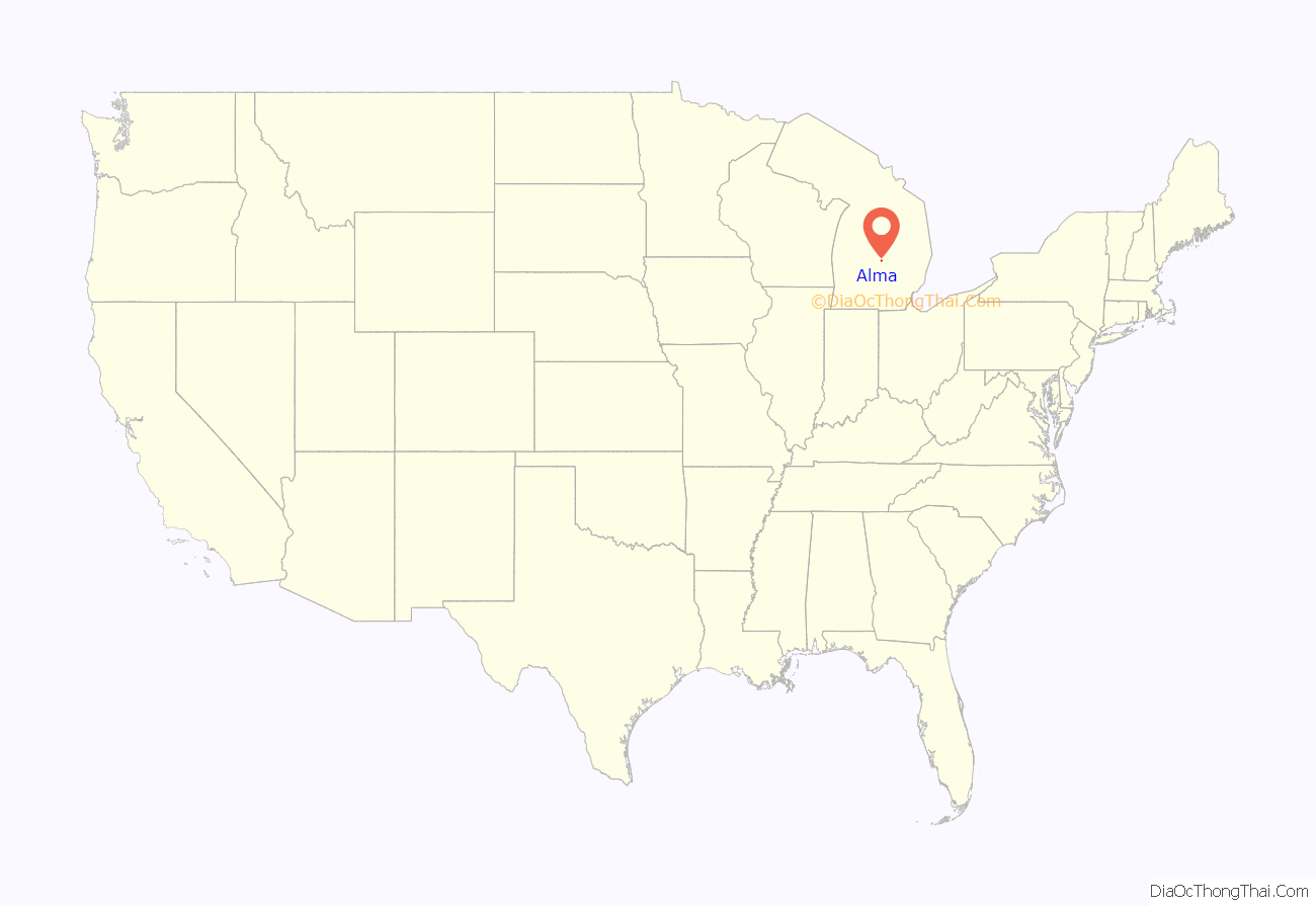
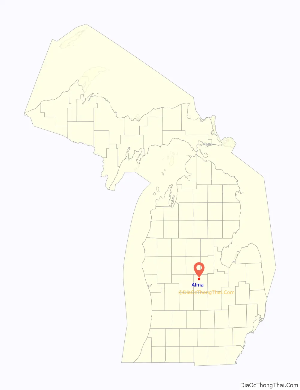
Alma location map. Where is Alma city?
History
Alma was founded in 1853 by Ralph Ely. Perhaps first known for the Alma Springs Sanitarium, built and promoted in the 1880s by millionaire lumberman and capitalist Ammi W. Wright, it achieved its greatest prominence nationally in the 1910s and 1920s as home of the Republic Motor Truck Company, briefly the largest exclusive truck manufacturer in the world. At one point the maker of one out of every nine trucks on the roads in the United States. It was one of the major suppliers of “Liberty trucks” used by American troops during World War I. In 1953 Alma became the first place that high-octane gas, 96 octane, was produced.
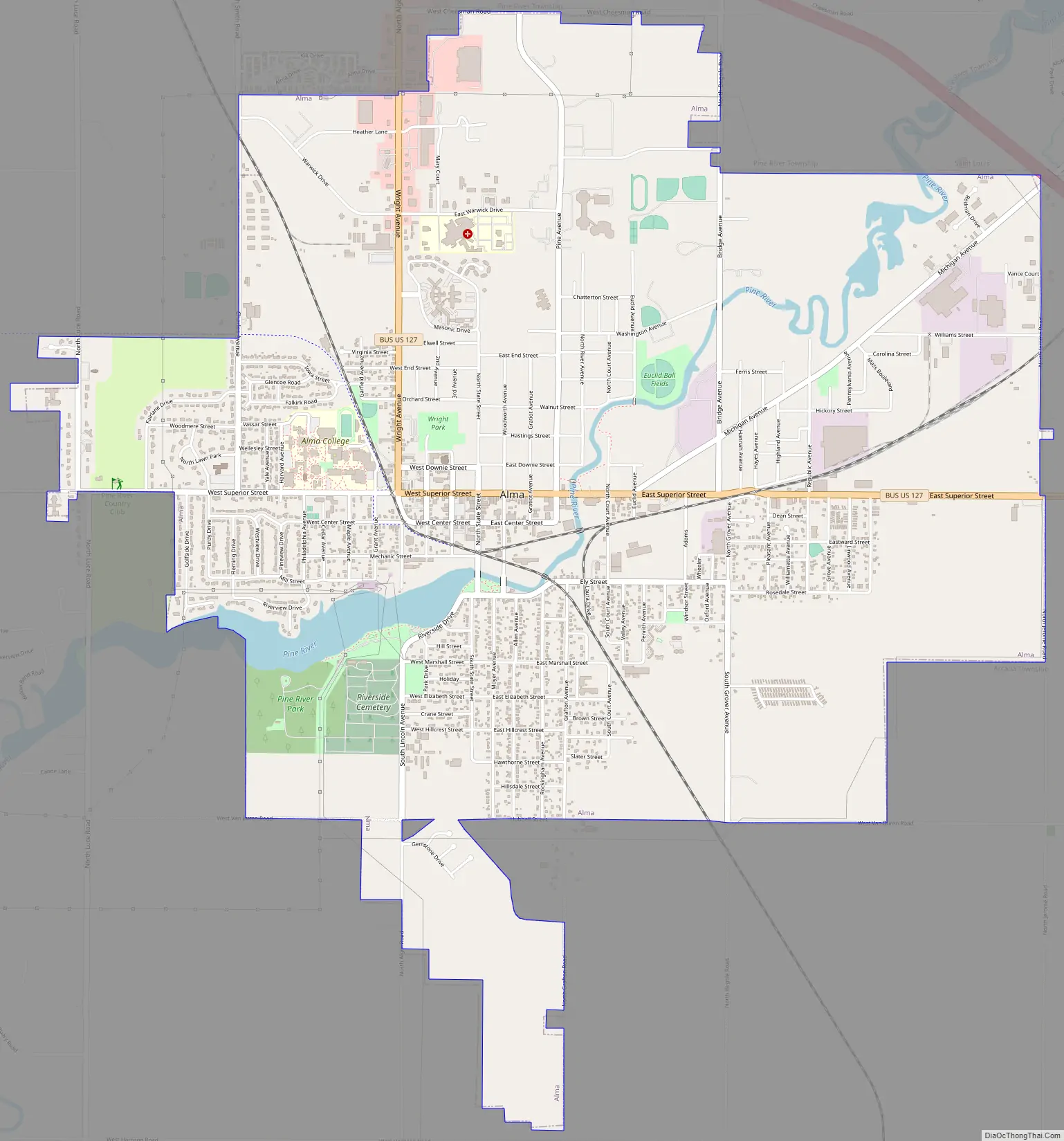
Alma Road Map
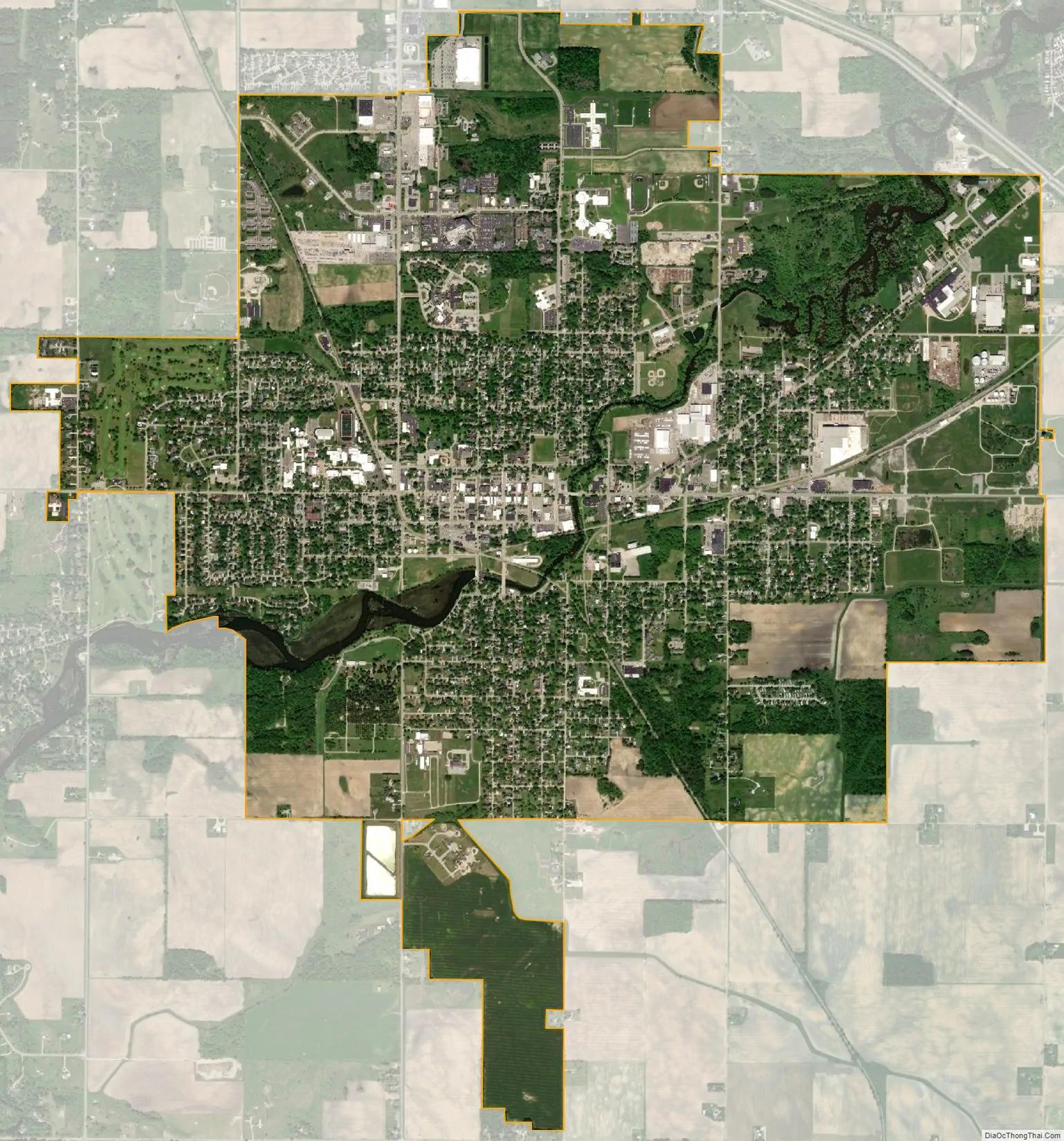
Alma city Satellite Map
Geography
According to the United States Census Bureau, the city has a total area of 6.09 square miles (15.77 km), of which 5.93 square miles (15.36 km) is land and 0.16 square miles (0.41 km) is water.
See also
Map of Michigan State and its subdivision:- Alcona
- Alger
- Allegan
- Alpena
- Antrim
- Arenac
- Baraga
- Barry
- Bay
- Benzie
- Berrien
- Branch
- Calhoun
- Cass
- Charlevoix
- Cheboygan
- Chippewa
- Clare
- Clinton
- Crawford
- Delta
- Dickinson
- Eaton
- Emmet
- Genesee
- Gladwin
- Gogebic
- Grand Traverse
- Gratiot
- Hillsdale
- Houghton
- Huron
- Ingham
- Ionia
- Iosco
- Iron
- Isabella
- Jackson
- Kalamazoo
- Kalkaska
- Kent
- Keweenaw
- Lake
- Lake Hurron
- Lake Michigan
- Lake St. Clair
- Lake Superior
- Lapeer
- Leelanau
- Lenawee
- Livingston
- Luce
- Mackinac
- Macomb
- Manistee
- Marquette
- Mason
- Mecosta
- Menominee
- Midland
- Missaukee
- Monroe
- Montcalm
- Montmorency
- Muskegon
- Newaygo
- Oakland
- Oceana
- Ogemaw
- Ontonagon
- Osceola
- Oscoda
- Otsego
- Ottawa
- Presque Isle
- Roscommon
- Saginaw
- Saint Clair
- Saint Joseph
- Sanilac
- Schoolcraft
- Shiawassee
- Tuscola
- Van Buren
- Washtenaw
- Wayne
- Wexford
- Alabama
- Alaska
- Arizona
- Arkansas
- California
- Colorado
- Connecticut
- Delaware
- District of Columbia
- Florida
- Georgia
- Hawaii
- Idaho
- Illinois
- Indiana
- Iowa
- Kansas
- Kentucky
- Louisiana
- Maine
- Maryland
- Massachusetts
- Michigan
- Minnesota
- Mississippi
- Missouri
- Montana
- Nebraska
- Nevada
- New Hampshire
- New Jersey
- New Mexico
- New York
- North Carolina
- North Dakota
- Ohio
- Oklahoma
- Oregon
- Pennsylvania
- Rhode Island
- South Carolina
- South Dakota
- Tennessee
- Texas
- Utah
- Vermont
- Virginia
- Washington
- West Virginia
- Wisconsin
- Wyoming