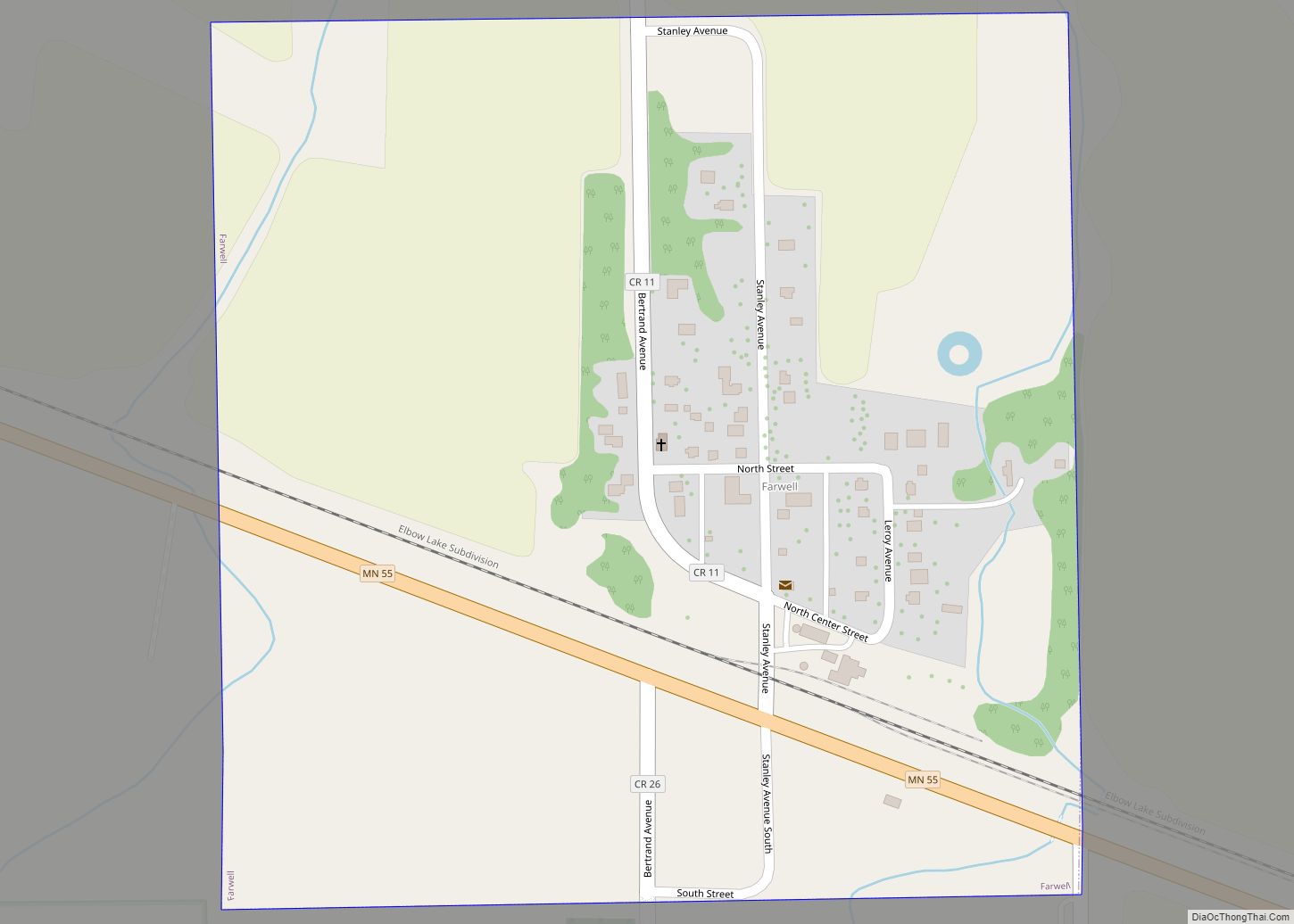
Farwell is a city in Pope County, Minnesota, United States. The population was 56 at the 2020 census. Farwell city overview: Name: Farwell city LSAD Code: 25 LSAD Description: city (suffix) State: Minnesota County: Pope County Founded: 1887 Elevation: 1,345 ft (410 m) Total Area: 0.25 sq mi (0.65 km²) Land Area: 0.25 sq mi (0.65 km²) Water Area: 0.00 sq mi (0.00 km²) Total Population: ... Read more
Minnesota Cities and Places
Farmington is a city in Dakota County, Minnesota, United States. The population was 23,632 at the 2020 census. It is a part of the Minneapolis-St. Paul metropolitan area. Farmington city overview: Name: Farmington city LSAD Code: 25 LSAD Description: city (suffix) State: Minnesota County: Dakota County Elevation: 902 ft (275 m) Total Area: 14.87 sq mi (38.52 km²) Land Area: ... Read more
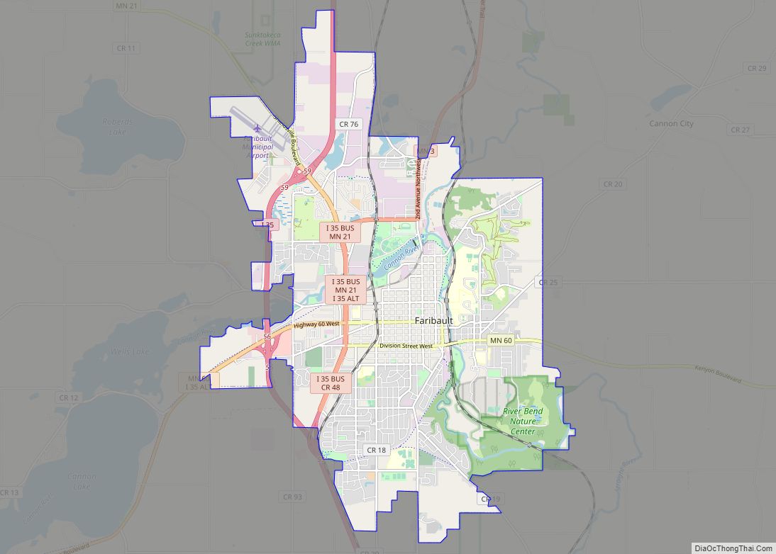
Faribault (/ˈfɛərboʊ/ FAIR-boh) is a city in, and the county seat of, Rice County, Minnesota, United States. The population was 23,352 at the 2010 census. Faribault is approximately 50 miles (80 km) south of Minneapolis–Saint Paul. Interstate 35 and Minnesota State Highways 3, 21, and 60 are four of Faribault’s main routes. Faribault is situated at ... Read more
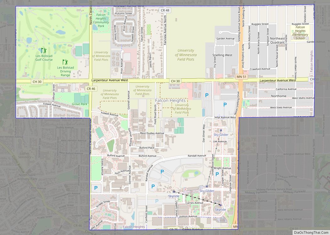
Falcon Heights is a suburb of Saint Paul and a city in Ramsey County, Minnesota, United States. The population was 5,321 at the 2010 census. It became a village in 1949 and a city in 1973. Falcon Heights is the home of the University of Minnesota’s St. Paul Campus; the Gabbert Raptor Center and Les ... Read more
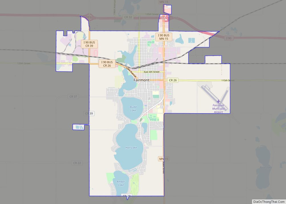
Fairmont is a city and the county seat of Martin County, Minnesota, United States. The population was 10,487 at the 2020 census. Fairmont city overview: Name: Fairmont city LSAD Code: 25 LSAD Description: city (suffix) State: Minnesota County: Martin County Founded: 1857 Incorporated: 1902 Elevation: 1,181 ft (360 m) Total Area: 16.89 sq mi (43.74 km²) Land Area: 15.00 sq mi (38.85 km²) ... Read more
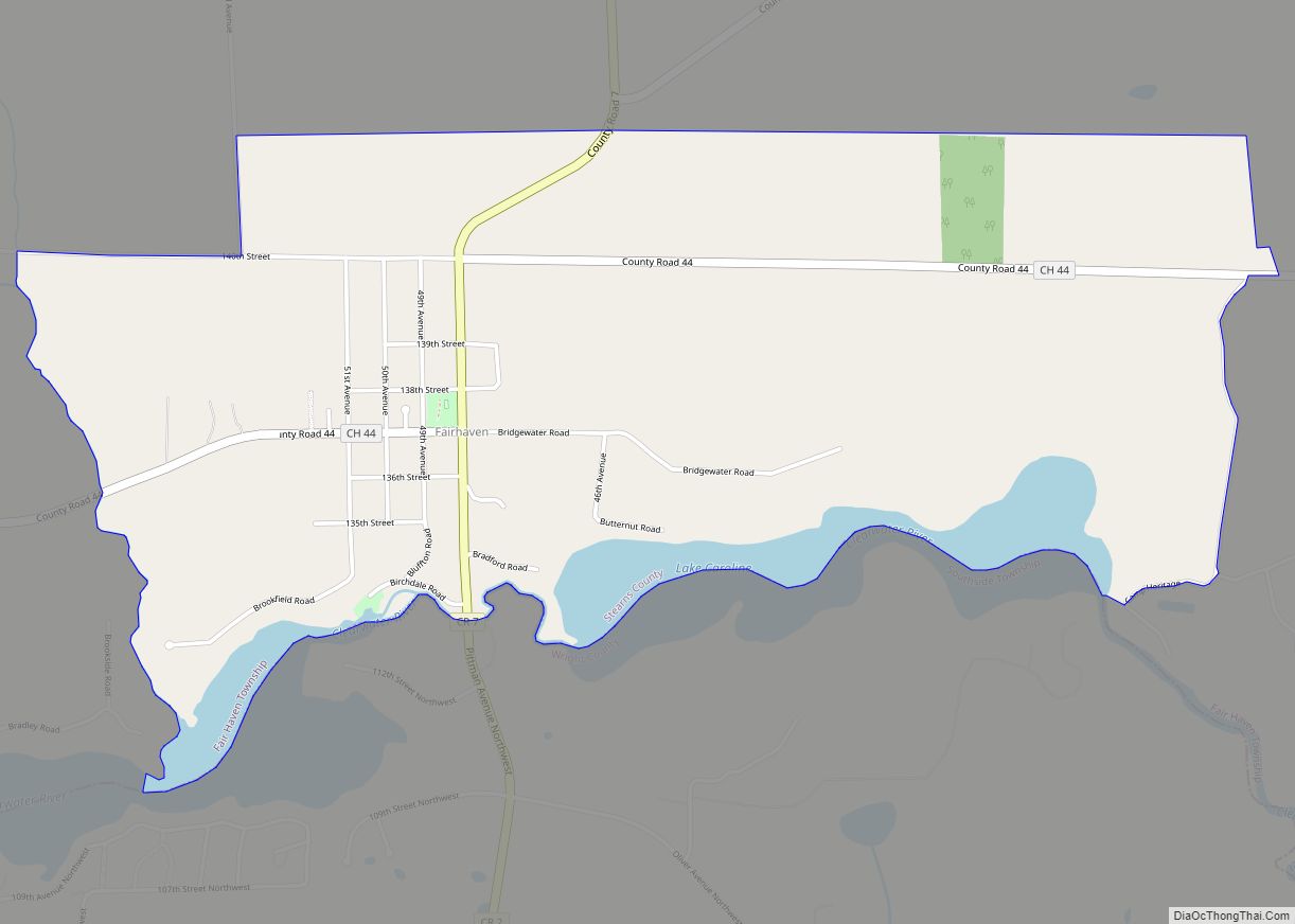
Fairhaven is an unincorporated community and census-designated place (CDP) in Fair Haven Township, Stearns County, Minnesota, United States. Its population was 358 as of the 2010 census. The community is located near the junction of Stearns County Roads 7 and 44. Nearby places include Kimball, South Haven, Clearwater, and St. Augusta. Stearns County Road 45 ... Read more
Fertile (/ˈfɜːrtɪl/ FUR-til) is a city in Polk County, Minnesota, United States. It is part of the Grand Forks ND–MN Metropolitan Statistical Area. The population was 804 at the 2020 census. The annual Polk County Fair is held in Fertile and dates to 1900. This is Fertile’s main attraction during the summer. It holds many ... Read more
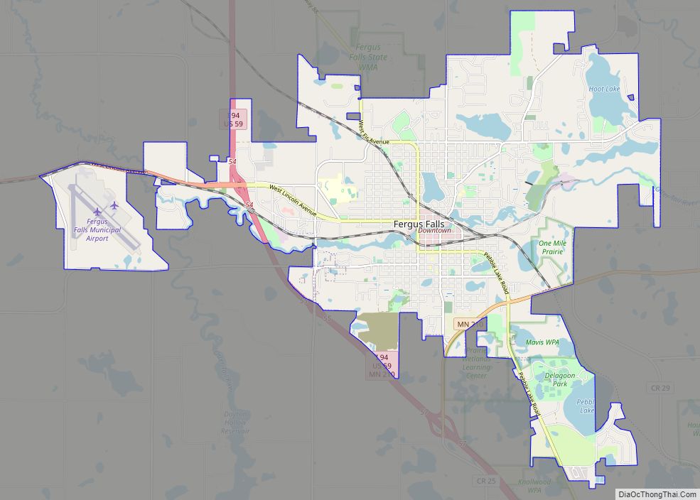
Fergus Falls (/ˈfɜːrɡəs/ FUR-gəss) is a city in and the county seat of Otter Tail County, Minnesota, United States. The population was 14,119 at the 2020 census. Fergus Falls city overview: Name: Fergus Falls city LSAD Code: 25 LSAD Description: city (suffix) State: Minnesota County: Otter Tail County Elevation: 1,181 ft (360 m) Total Area: 15.72 sq mi (40.70 km²) ... Read more
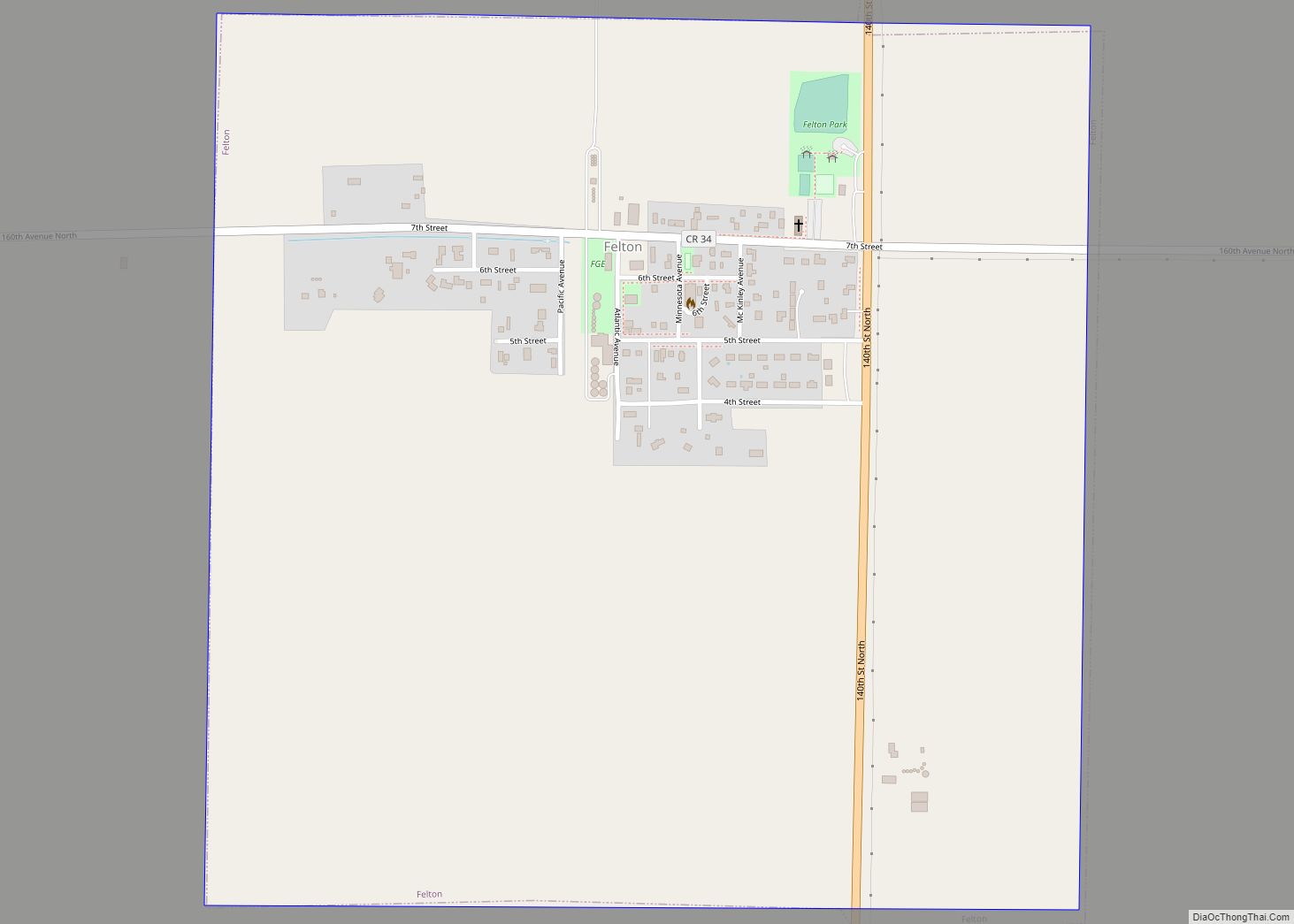
Felton is a city in Clay County, Minnesota, United States. The population was 177 at the 2020 census. Felton city overview: Name: Felton city LSAD Code: 25 LSAD Description: city (suffix) State: Minnesota County: Clay County Elevation: 912 ft (278 m) Total Area: 1.01 sq mi (2.63 km²) Land Area: 1.01 sq mi (2.63 km²) Water Area: 0.00 sq mi (0.00 km²) Total Population: 177 Population ... Read more
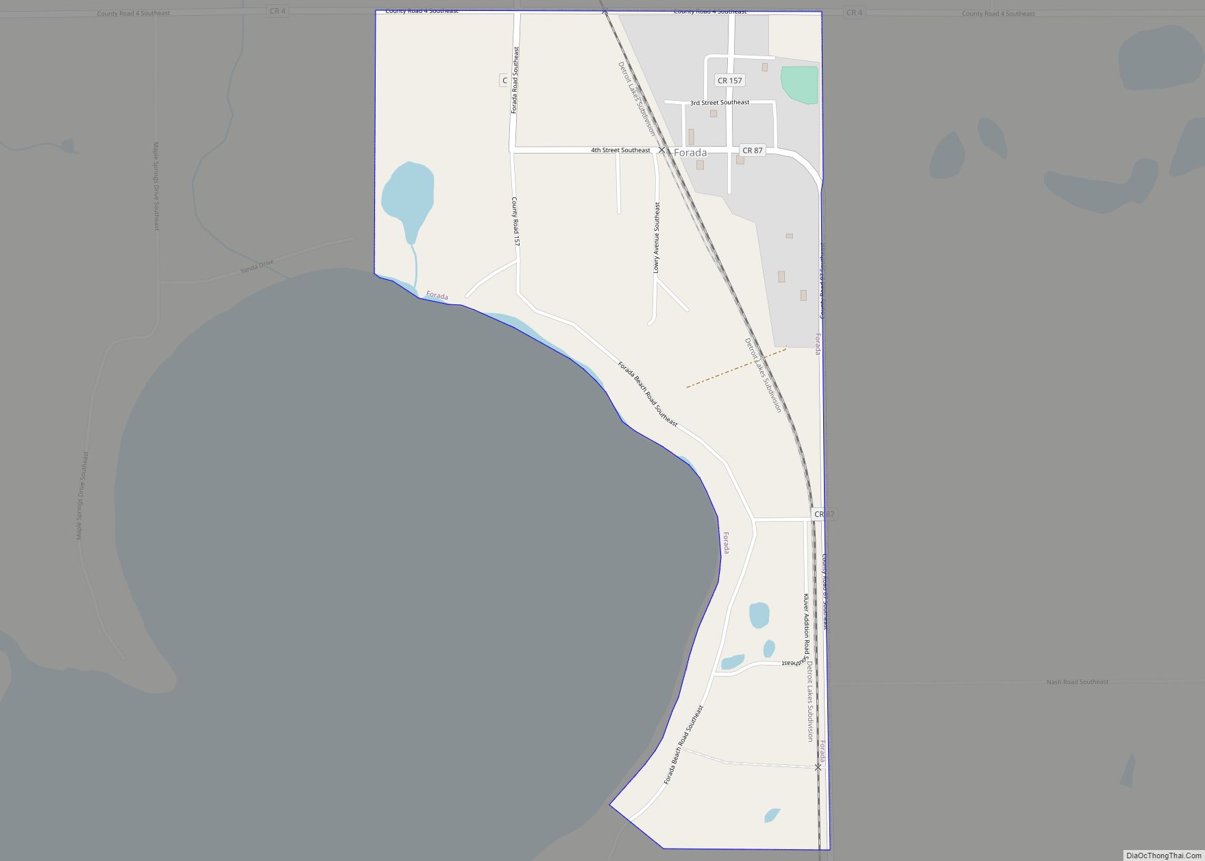
Forada is a city in Douglas County, Minnesota, United States. The population was 170 at the 2020 census. Forada city overview: Name: Forada city LSAD Code: 25 LSAD Description: city (suffix) State: Minnesota County: Douglas County Elevation: 1,414 ft (431 m) Total Area: 0.54 sq mi (1.41 km²) Land Area: 0.54 sq mi (1.39 km²) Water Area: 0.01 sq mi (0.02 km²) Total Population: 170 Population ... Read more
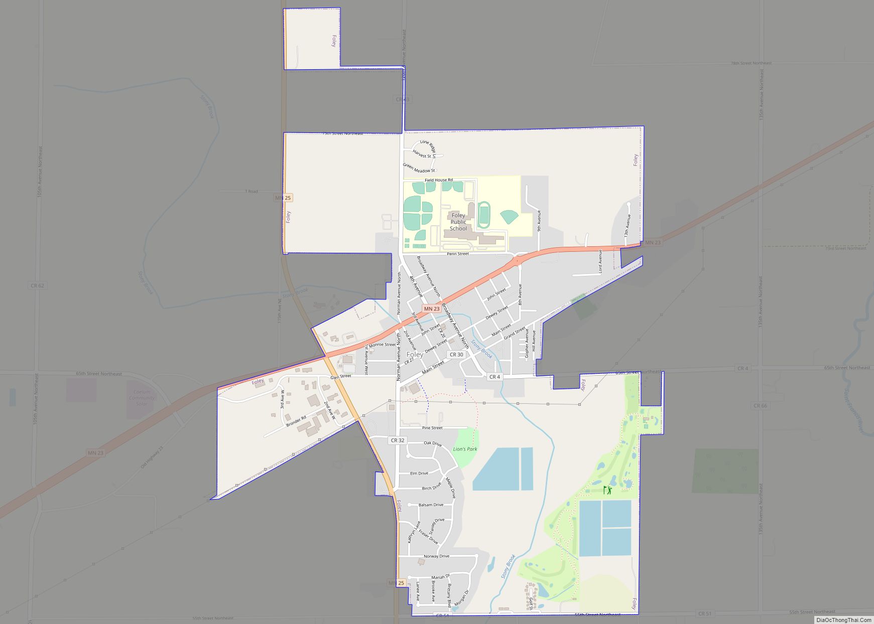
Foley (/ˈfoʊli/ FOH-lee) is a city and the county seat of Benton County, Minnesota, United States. The population was 2,603 at the 2010 census. Foley is part of the St. Cloud Metropolitan Statistical Area. Foley city overview: Name: Foley city LSAD Code: 25 LSAD Description: city (suffix) State: Minnesota County: Benton County Elevation: 1,138 ft (347 m) ... Read more
Florence is a city in Lyon County, Minnesota, United States. The population was 39 at the 2010 census. Florence city overview: Name: Florence city LSAD Code: 25 LSAD Description: city (suffix) State: Minnesota County: Lyon County Elevation: 1,732 ft (528 m) Total Area: 0.11 sq mi (0.28 km²) Land Area: 0.11 sq mi (0.28 km²) Water Area: 0.00 sq mi (0.00 km²) Total Population: 28 Population ... Read more
