Faribault (/ˈfɛərboʊ/ FAIR-boh) is a city in, and the county seat of, Rice County, Minnesota, United States. The population was 23,352 at the 2010 census. Faribault is approximately 50 miles (80 km) south of Minneapolis–Saint Paul.
Interstate 35 and Minnesota State Highways 3, 21, and 60 are four of Faribault’s main routes.
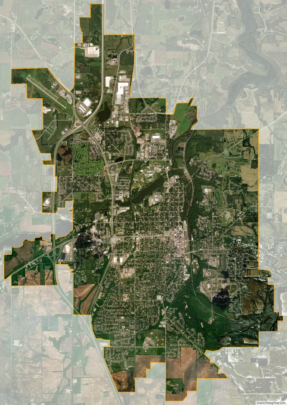
Faribault is situated at the confluence of the Cannon and Straight Rivers in southern Minnesota.
| Name: | Faribault city |
|---|---|
| LSAD Code: | 25 |
| LSAD Description: | city (suffix) |
| State: | Minnesota |
| County: | Rice County |
| Elevation: | 994 ft (303 m) |
| Total Area: | 15.78 sq mi (40.86 km²) |
| Land Area: | 15.50 sq mi (40.15 km²) |
| Water Area: | 0.28 sq mi (0.71 km²) |
| Total Population: | 24,453 |
| Population Density: | 1,577.41/sq mi (609.03/km²) |
| ZIP code: | 55021 |
| Area code: | 507 |
| FIPS code: | 2720546 |
| GNISfeature ID: | 0643560 |
| Website: | www.faribault.org |
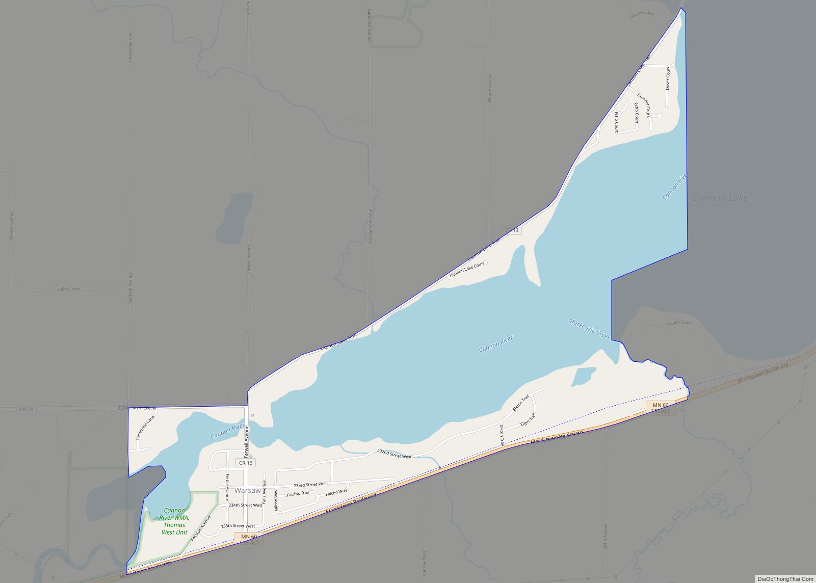
Online Interactive Map
Click on ![]() to view map in "full screen" mode.
to view map in "full screen" mode.
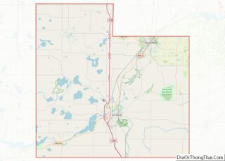
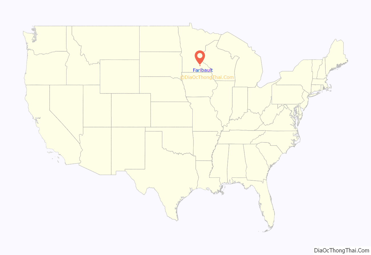
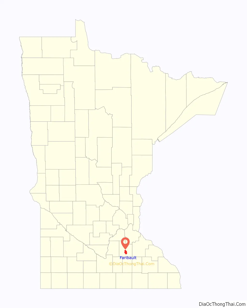
Faribault location map. Where is Faribault city?
History
Faribault is regarded as one of the most historic communities in Minnesota, with settlement and commercial activity predating Minnesota’s establishment as a U.S. Territory. Until 1745, the area was primarily occupied by the Wahpekute band of Dakotah. Shortly thereafter, the tribe was driven south after several clashes with the Ojibwe over territory.
The city’s namesake, Alexander Faribault, was the son of Jean-Baptiste Faribault, a French-Canadian fur trader, and Elizabeth Pelagie Kinzie Haines, a Dakotah woman. He is credited with fueling most of the early settlement in the area, beginning in 1826, when he established a fur trading post on the banks of the Cannon River. By 1834, the trading post had grown in popularity and was relocated to the Straight River, one mile (1.6 km) upstream of its junction with the Cannon River, the site of modern-day Faribault. The young Alexander Faribault used his knowledge of Dakota language and culture to improve relations with the displaced Wahpekute and even helped the tribe to resettle in the area. This relationship was instrumental in ensuring the success of the trading post and allowing safe travel to the area for settlers. The Dakota in the area called this soon-to-be town “Adek” for Alex (Alexander Faribault).
Another source maintains the city is named for Jean-Baptiste Faribault.
The Alexander Faribault House was built in 1853 by Alexander Faribault at a cost of $4,000, equal to $130,288 today. It is considered the oldest framed structure in the area, and still stands in its original location near the southeastern edge of Faribault’s historic downtown district.
The years following the construction of this first building brought unprecedented growth, development, and economic prosperity to the young settlement. Spurred by the completion of the area’s first steam-powered sawmill in early 1854, the next year took Faribault from a sleepy settlement of 20 buildings to a bustling town with more than 250. Historians attribute Faribault’s impressive growth during this period to a number of important milestones in 1855 and 1856, including the creation of roads connecting to other settlements and trading posts in Iowa and Minnesota Territory, the availability of mail service, and the construction of schools and churches.
The City of Faribault was platted in 1855 and granted a home-rule charter in 1872.
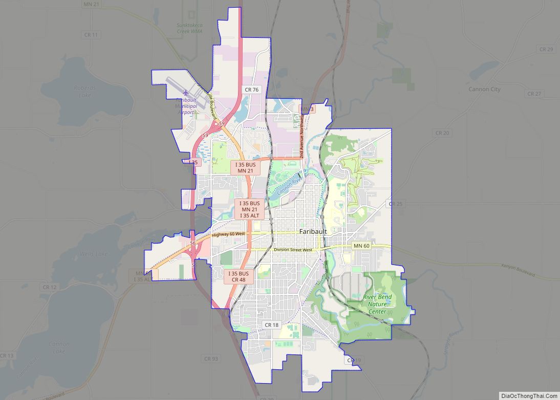
Faribault Road Map
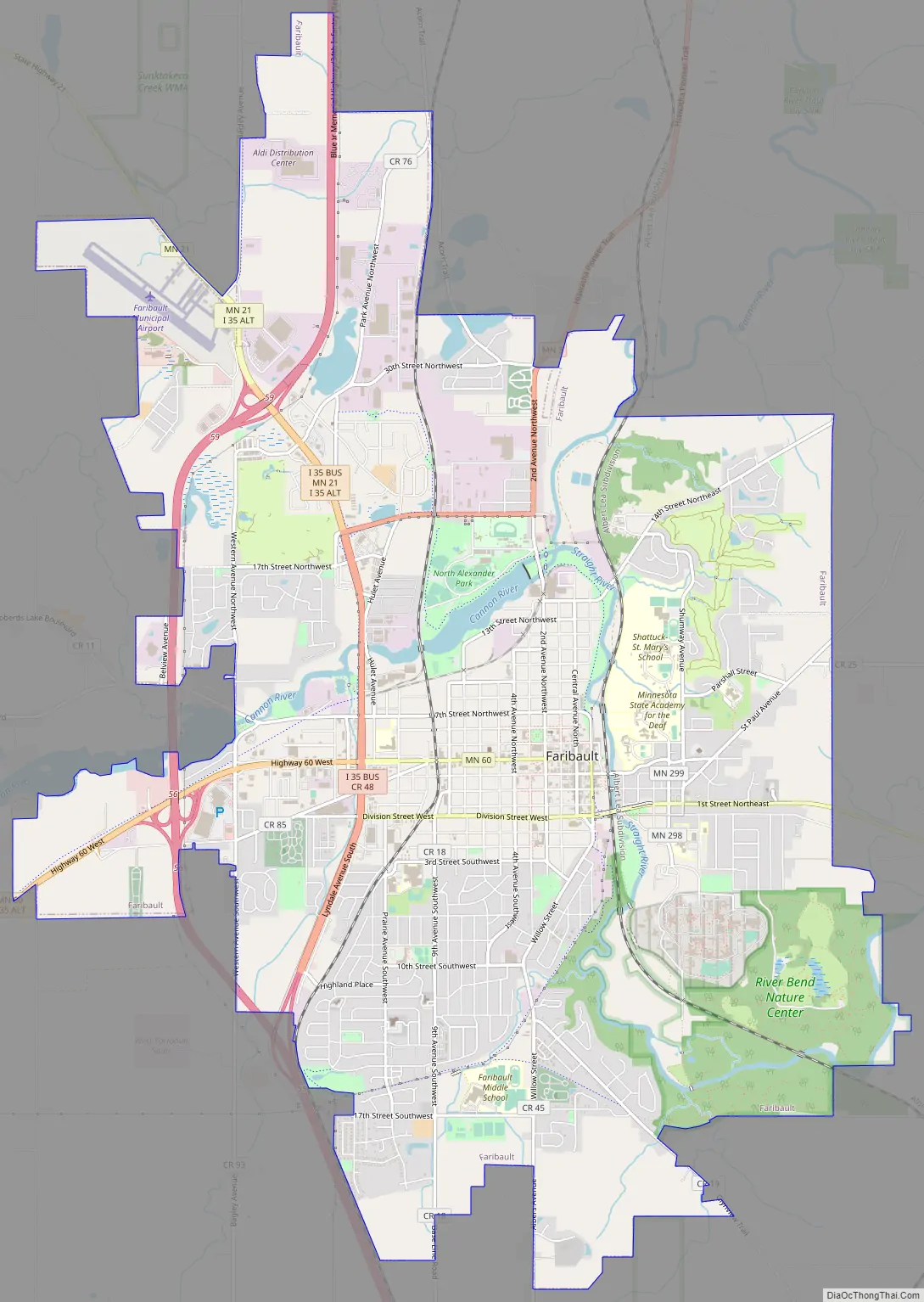
Faribault city Satellite Map
Geography
According to the United States Census Bureau, the city has a total area of 15.67 square miles (40.59 km); 15.32 square miles (39.68 km) is land and 0.35 square miles (0.91 km) is water. The confluence of the Straight River and the Cannon River is located within city limits. Sakatah Lake State Park and Nerstrand-Big Woods State Park are nearby.
Interstate Highway 35 runs along the western edge of the city. The city is served by two full interchanges and one partial interchange. Before I-35’s completion, traffic was routed through town, generating significant sales revenue to the retailers that had a major highway running past their doors. In approximately 1975, the last portions of I-35 were completed and through traffic started to bypass Faribault. On that same corridor through town, the White Sands Swimming Pool (“Minnesota’s Largest Outdoor Swimming Pool”) operated from 1964 to 1977. This swimming area is now the White Sands Dog Park, as well as the trailhead for the Sakatah Singing Hills Trail, which runs to Mankato. The Mill Towns Trail is planned to run to Northfield. The site includes parking, restrooms and a shelter.
Climate
See also
Map of Minnesota State and its subdivision:- Aitkin
- Anoka
- Becker
- Beltrami
- Benton
- Big Stone
- Blue Earth
- Brown
- Carlton
- Carver
- Cass
- Chippewa
- Chisago
- Clay
- Clearwater
- Cook
- Cottonwood
- Crow Wing
- Dakota
- Dodge
- Douglas
- Faribault
- Fillmore
- Freeborn
- Goodhue
- Grant
- Hennepin
- Houston
- Hubbard
- Isanti
- Itasca
- Jackson
- Kanabec
- Kandiyohi
- Kittson
- Koochiching
- Lac qui Parle
- Lake
- Lake of the Woods
- Lake Superior
- Le Sueur
- Lincoln
- Lyon
- Mahnomen
- Marshall
- Martin
- McLeod
- Meeker
- Mille Lacs
- Morrison
- Mower
- Murray
- Nicollet
- Nobles
- Norman
- Olmsted
- Otter Tail
- Pennington
- Pine
- Pipestone
- Polk
- Pope
- Ramsey
- Red Lake
- Redwood
- Renville
- Rice
- Rock
- Roseau
- Saint Louis
- Scott
- Sherburne
- Sibley
- Stearns
- Steele
- Stevens
- Swift
- Todd
- Traverse
- Wabasha
- Wadena
- Waseca
- Washington
- Watonwan
- Wilkin
- Winona
- Wright
- Yellow Medicine
- Alabama
- Alaska
- Arizona
- Arkansas
- California
- Colorado
- Connecticut
- Delaware
- District of Columbia
- Florida
- Georgia
- Hawaii
- Idaho
- Illinois
- Indiana
- Iowa
- Kansas
- Kentucky
- Louisiana
- Maine
- Maryland
- Massachusetts
- Michigan
- Minnesota
- Mississippi
- Missouri
- Montana
- Nebraska
- Nevada
- New Hampshire
- New Jersey
- New Mexico
- New York
- North Carolina
- North Dakota
- Ohio
- Oklahoma
- Oregon
- Pennsylvania
- Rhode Island
- South Carolina
- South Dakota
- Tennessee
- Texas
- Utah
- Vermont
- Virginia
- Washington
- West Virginia
- Wisconsin
- Wyoming