Fergus Falls (/ˈfɜːrɡəs/ FUR-gəss) is a city in and the county seat of Otter Tail County, Minnesota, United States. The population was 14,119 at the 2020 census.
| Name: | Fergus Falls city |
|---|---|
| LSAD Code: | 25 |
| LSAD Description: | city (suffix) |
| State: | Minnesota |
| County: | Otter Tail County |
| Elevation: | 1,181 ft (360 m) |
| Total Area: | 15.72 sq mi (40.70 km²) |
| Land Area: | 14.38 sq mi (37.25 km²) |
| Water Area: | 1.33 sq mi (3.45 km²) 8.20% |
| Total Population: | 14,119 |
| Population Density: | 981.58/sq mi (378.99/km²) |
| ZIP code: | 56537 |
| Area code: | 218 |
| FIPS code: | 2720906 |
| GNISfeature ID: | 0643602 |
| Website: | ci.fergus-falls.mn.us |
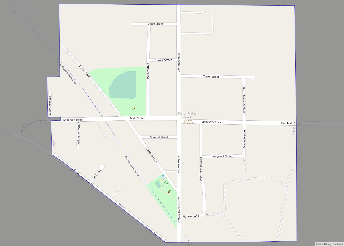
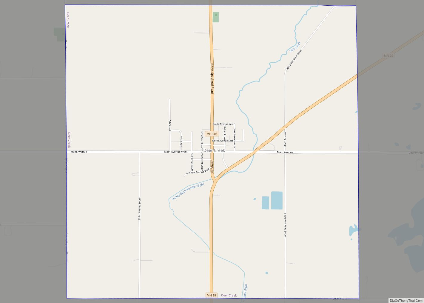
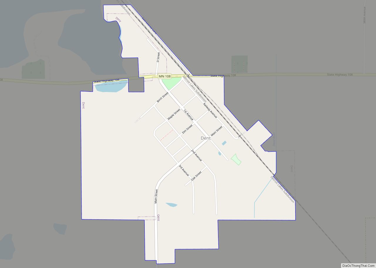
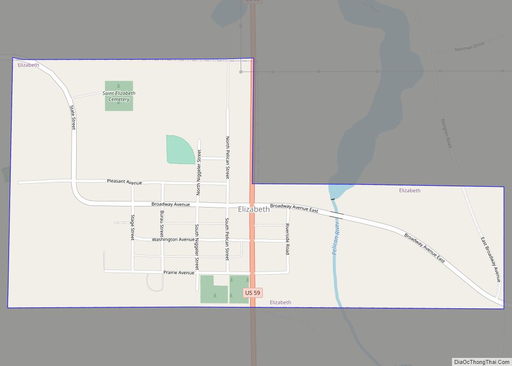
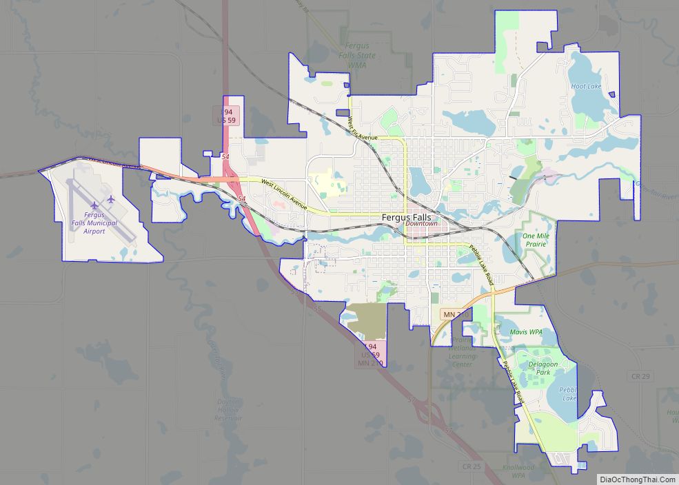
Online Interactive Map
Click on ![]() to view map in "full screen" mode.
to view map in "full screen" mode.
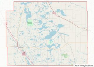
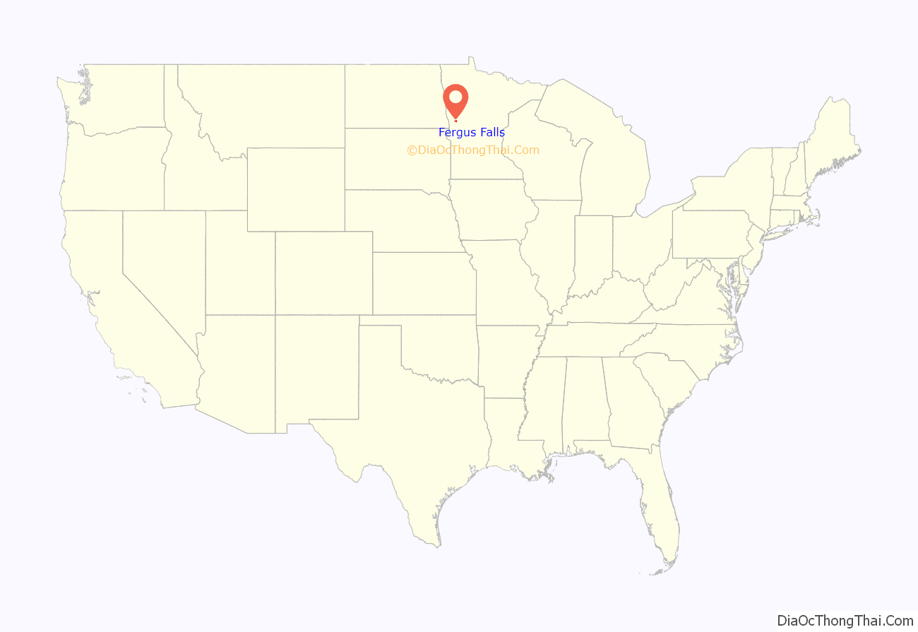
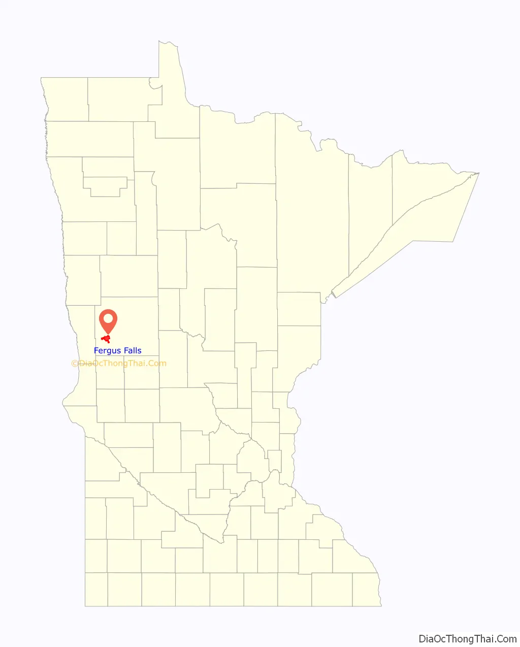
Fergus Falls location map. Where is Fergus Falls city?
History
The falls from which the city gets part of its name were discovered by Joe Whitford (a Scottish trapper) in 1856 and promptly named in honor of his employer, James Fergus. It is not known whether Fergus ever visited the city, but Whitford did not live to see the city develop, as he was killed during the 1862 Dakota war in western Minnesota. In 1867, George B. Wright was at the land office at St. Cloud and found Whitford’s lapsed claim, purchased the land, and built what is now the Central Dam in downtown Fergus Falls around 1871. After Wright died in 1882, his son Vernon moved from Boston to Minnesota and took over his father’s interests in the town. Vernon Wright was also one of the two people who established the Otter Tail Power Company in 1907. The city was incorporated in the late 1870s and is situated along the dividing line between the former great deciduous forest of the Northwest Territories to the east and the great plains to the west, in a region of gentle hills, where the recent geological history is dominated by the recession of the glaciers from the last great Ice Age, with numerous lakes and small rivers.
Two major tornadoes hit Fergus Falls during the early 20th century, the second, the 1919 Fergus Falls tornado, being the greater. The only church edifice left standing after the great cyclone was the predominantly black Baptist church.
21st century
Fergus Falls features many different parks (tallgrass prairie and eastern woodlands), stores, and other tourist attractions. The Union Avenue Bridge spans the Otter Tail River, and was reconstructed in 2004. Just below the bridge is part of scenic River Walk Park, which spans about a mile of the river. The part nearest the Union Avenue Bridge was redone along with the bridge. The town hall was modeled after Independence Hall in Philadelphia. Its west wing housed the city fire station until the 1970s. Other points of interest include the county museum, Lake Alice, George B. Wright Park, Pebble Lake Golf Course, and Veteran’s Memorial Park. Arts in Fergus Falls are booming with a community theater program downtown. Many local and professional artists perform at A Center for the Arts.
The city also lends its name to the song “Fergus Falls” by the band Field Report on its 2012 self-titled album.
Fergus Falls received international coverage in early 2017 and late 2018 after a news article in Der Spiegel falsely claimed there was an anti-Mexican sign at the city’s entrance and fabricated other things about the town. The story’s author, Claas Relotius, admitted to numerous instances of journalistic fraud. In December 2018 two residents of Fergus Falls, Michele Anderson and Jake Krohn, published a report pointing out the “11 most absurd lies” of the 2017 article. The same month Der Spiegel also sent a reporter to Fergus Falls to investigate and apologize.
Ethnicity
A strong economic division between later Scandinavian immigrant farmers and the earlier English and Scottish war veterans who retained control of the principal businesses of the city center, the banks, and the increasingly important Otter Tail Power Company, persisted for decades until several generations of ethnic intermarriage and continuing inward and outward migration largely erased the divisions along ethnic lines. The small black community, largely Baptist, which clustered in the Southeast section of the city, gradually dwindled as people departed for larger cities.
Growth
The dams built on the Otter Tail River beginning in the 1880s were powerful economic forces that shaped the area’s development. Returning soldiers from the American Civil War settled in the region, mostly as farmers (wheat and corn in the western plains and dairy and hogs in the eastern hills and forests). The importance of the Civil War experience to these early settlers is highlighted by the town’s street names: the intersecting principal thoroughfares are Lincoln Avenue and Union Avenue. The oldest parts of the town have streets with names such as Sherman, Sheridan, and Vernon. The early English wave of settlement claimed control of the falls along the Otter Tail River and established the first Episcopalian and Presbyterian churches.
Immigration
Almost as soon as the foundational structure of the town was laid, an influx of Norwegian immigrants arrived, by way of the Scandinavian migration of Chicago and Minneapolis, often on the Great Northern Railway. Primarily dairy farmers, they established numerous Lutheran churches in the area. The Lutheran Brethren (Church of the Lutheran Brethren of America) established an academy in Fergus Falls, which today operates a private high school, theological seminary and mission society, with an office in Fergus Falls. The pietistic, low-church Lutherans constituted one cultural center of the Norwegian-German community, while the high-church First Lutheran constituted a separate center, which attracted a more upwardly mobile class of parishioner.
Population growth and loss
After the Interstate Defense Highway System built Interstate 94 along the western edge of Fergus Falls in the late 1950s, population mobility increased dramatically, and high school graduates increasingly left the town to attend colleges in Morris, Fargo-Moorhead, or the Twin Cities of Minneapolis and Saint Paul. As farming declined as an occupation and lifestyle, with large-scale commercial farming gradually replacing the family farm system during the second half of the 20th century, the city appeared increasingly destined to become a retirement and nursing community until a new migration of younger remote workers moved to the city. The bucolic environment, with abundant sporting opportunities that had long attracted summer vacationers, combined with the relatively low cost of real estate and cost of living have brought people wishing to raise their children away from the comparatively commercialized and higher crime environments of larger cities.
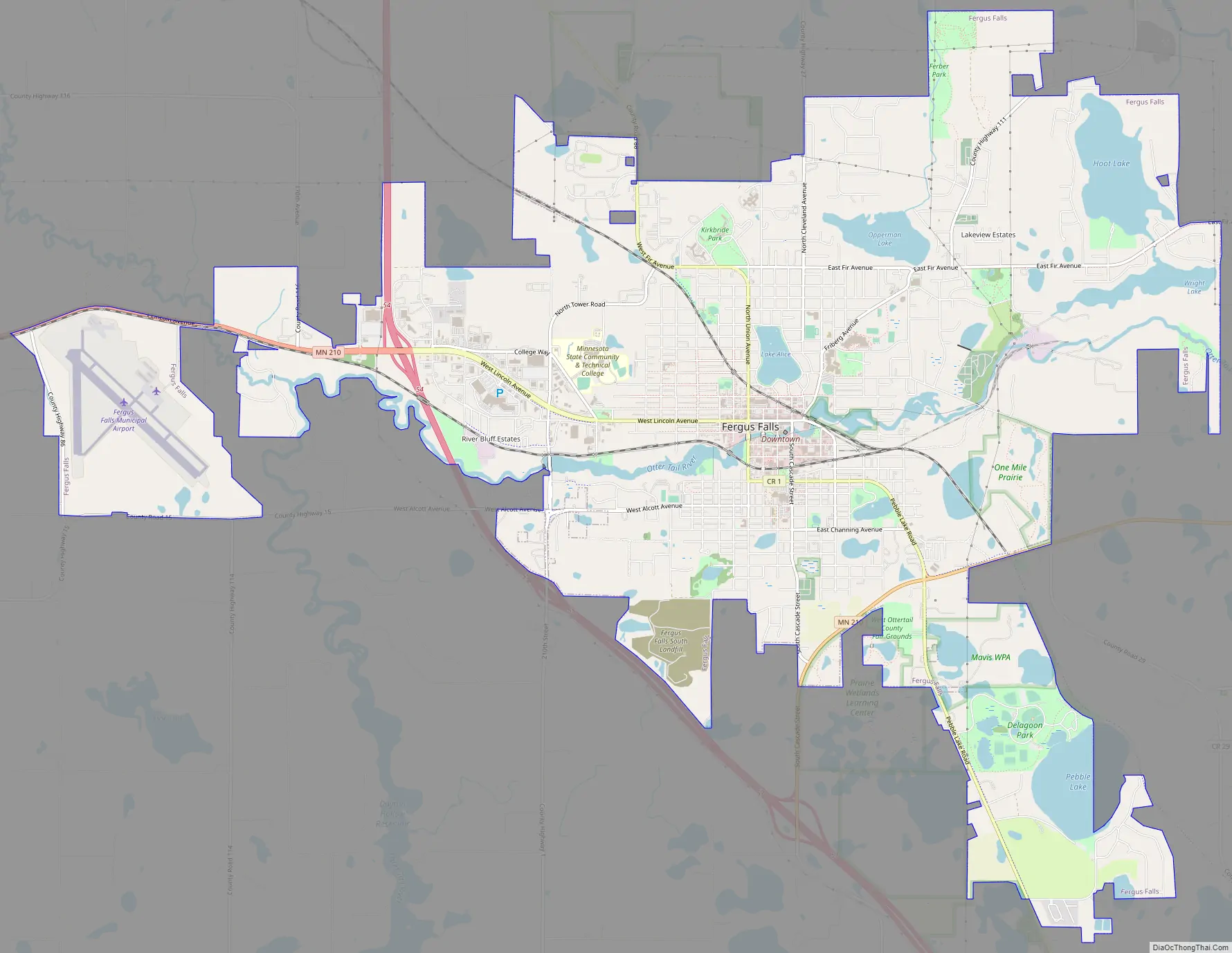
Fergus Falls Road Map
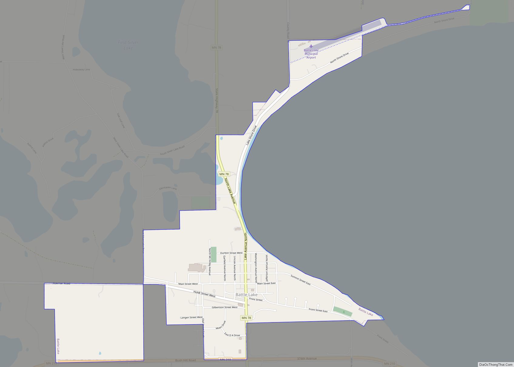
Fergus Falls city Satellite Map
Geography
According to the United States Census Bureau, the city has a total area of 15.37 square miles (39.81 km), of which 14.11 square miles (36.54 km) is land and 1.26 square miles (3.26 km) is water.
Interstate 94 / U.S. Highway 59/U.S. Highway 52 and Minnesota State Highway 210 (co-signed); and County Highways 1, 82 and 88 are the main routes in Fergus Falls.
Lakes
Major highways
The following routes are located within the city of Fergus Falls.
- Interstate 94
- U.S. Highway 59
- Minnesota State Highway 210
- Otter Tail County Highway 1
- Otter Tail County Highway 82
- Otter Tail County Highway 88
Climate
See also
Map of Minnesota State and its subdivision:- Aitkin
- Anoka
- Becker
- Beltrami
- Benton
- Big Stone
- Blue Earth
- Brown
- Carlton
- Carver
- Cass
- Chippewa
- Chisago
- Clay
- Clearwater
- Cook
- Cottonwood
- Crow Wing
- Dakota
- Dodge
- Douglas
- Faribault
- Fillmore
- Freeborn
- Goodhue
- Grant
- Hennepin
- Houston
- Hubbard
- Isanti
- Itasca
- Jackson
- Kanabec
- Kandiyohi
- Kittson
- Koochiching
- Lac qui Parle
- Lake
- Lake of the Woods
- Lake Superior
- Le Sueur
- Lincoln
- Lyon
- Mahnomen
- Marshall
- Martin
- McLeod
- Meeker
- Mille Lacs
- Morrison
- Mower
- Murray
- Nicollet
- Nobles
- Norman
- Olmsted
- Otter Tail
- Pennington
- Pine
- Pipestone
- Polk
- Pope
- Ramsey
- Red Lake
- Redwood
- Renville
- Rice
- Rock
- Roseau
- Saint Louis
- Scott
- Sherburne
- Sibley
- Stearns
- Steele
- Stevens
- Swift
- Todd
- Traverse
- Wabasha
- Wadena
- Waseca
- Washington
- Watonwan
- Wilkin
- Winona
- Wright
- Yellow Medicine
- Alabama
- Alaska
- Arizona
- Arkansas
- California
- Colorado
- Connecticut
- Delaware
- District of Columbia
- Florida
- Georgia
- Hawaii
- Idaho
- Illinois
- Indiana
- Iowa
- Kansas
- Kentucky
- Louisiana
- Maine
- Maryland
- Massachusetts
- Michigan
- Minnesota
- Mississippi
- Missouri
- Montana
- Nebraska
- Nevada
- New Hampshire
- New Jersey
- New Mexico
- New York
- North Carolina
- North Dakota
- Ohio
- Oklahoma
- Oregon
- Pennsylvania
- Rhode Island
- South Carolina
- South Dakota
- Tennessee
- Texas
- Utah
- Vermont
- Virginia
- Washington
- West Virginia
- Wisconsin
- Wyoming