Farmington is a city in Dakota County, Minnesota, United States. The population was 23,632 at the 2020 census. It is a part of the Minneapolis-St. Paul metropolitan area.
| Name: | Farmington city |
|---|---|
| LSAD Code: | 25 |
| LSAD Description: | city (suffix) |
| State: | Minnesota |
| County: | Dakota County |
| Elevation: | 902 ft (275 m) |
| Total Area: | 14.87 sq mi (38.52 km²) |
| Land Area: | 14.62 sq mi (37.87 km²) |
| Water Area: | 0.25 sq mi (0.65 km²) |
| Total Population: | 23,632 |
| Population Density: | 1,616.31/sq mi (624.05/km²) |
| ZIP code: | 55024 |
| Area code: | 651 |
| FIPS code: | 2720618 |
| GNISfeature ID: | 0643570 |
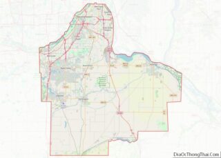
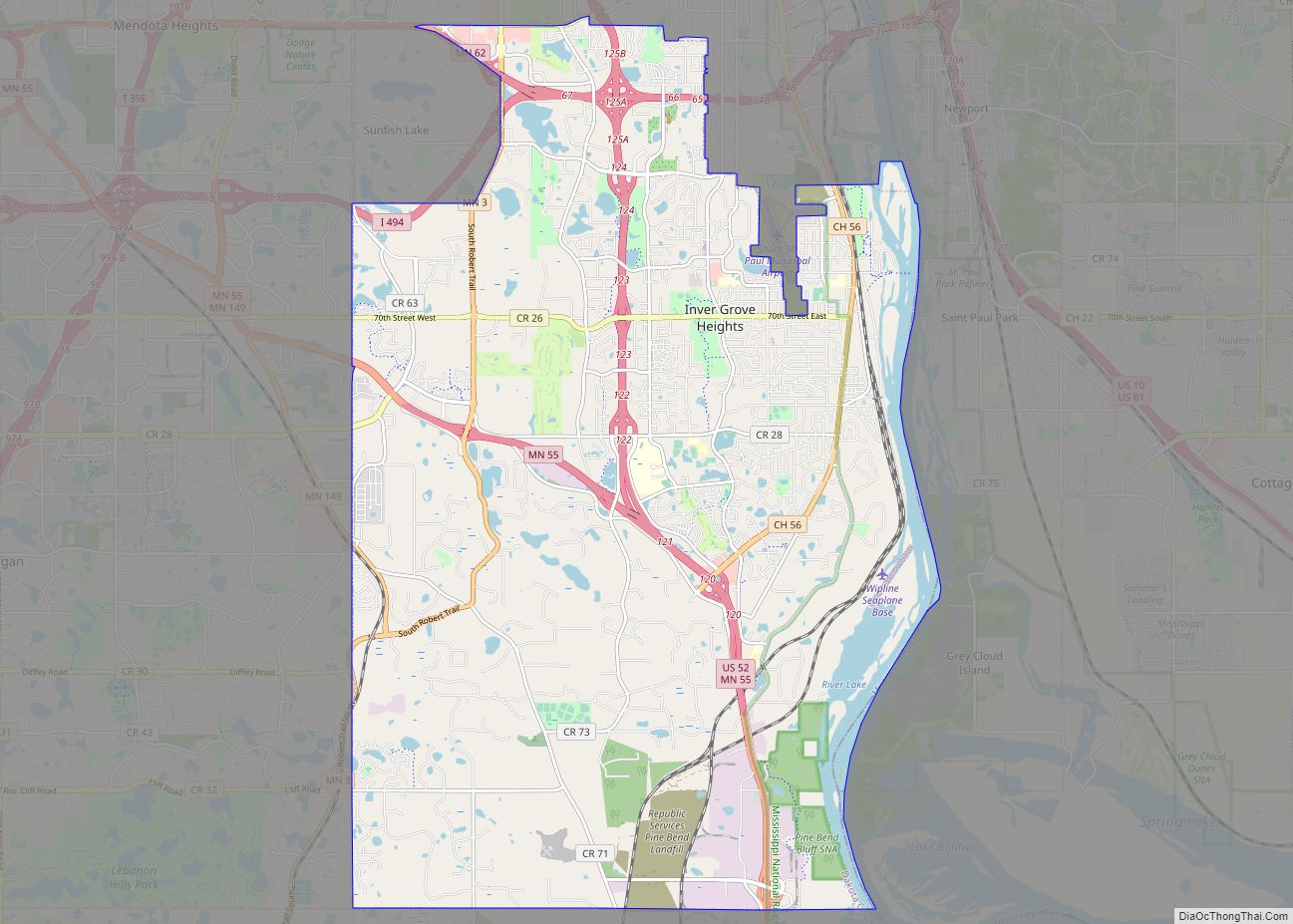
Online Interactive Map
Click on ![]() to view map in "full screen" mode.
to view map in "full screen" mode.
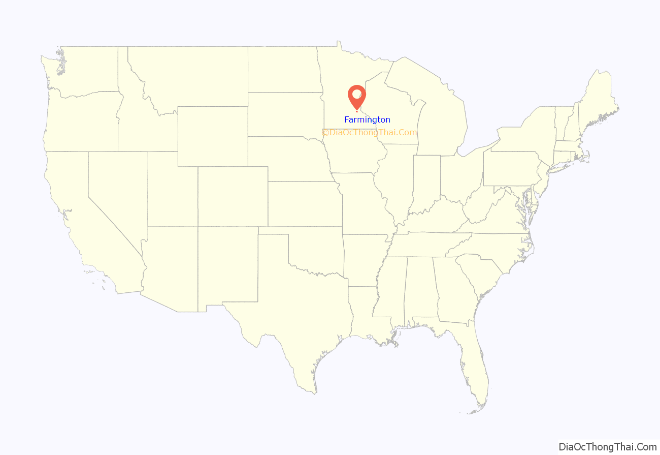
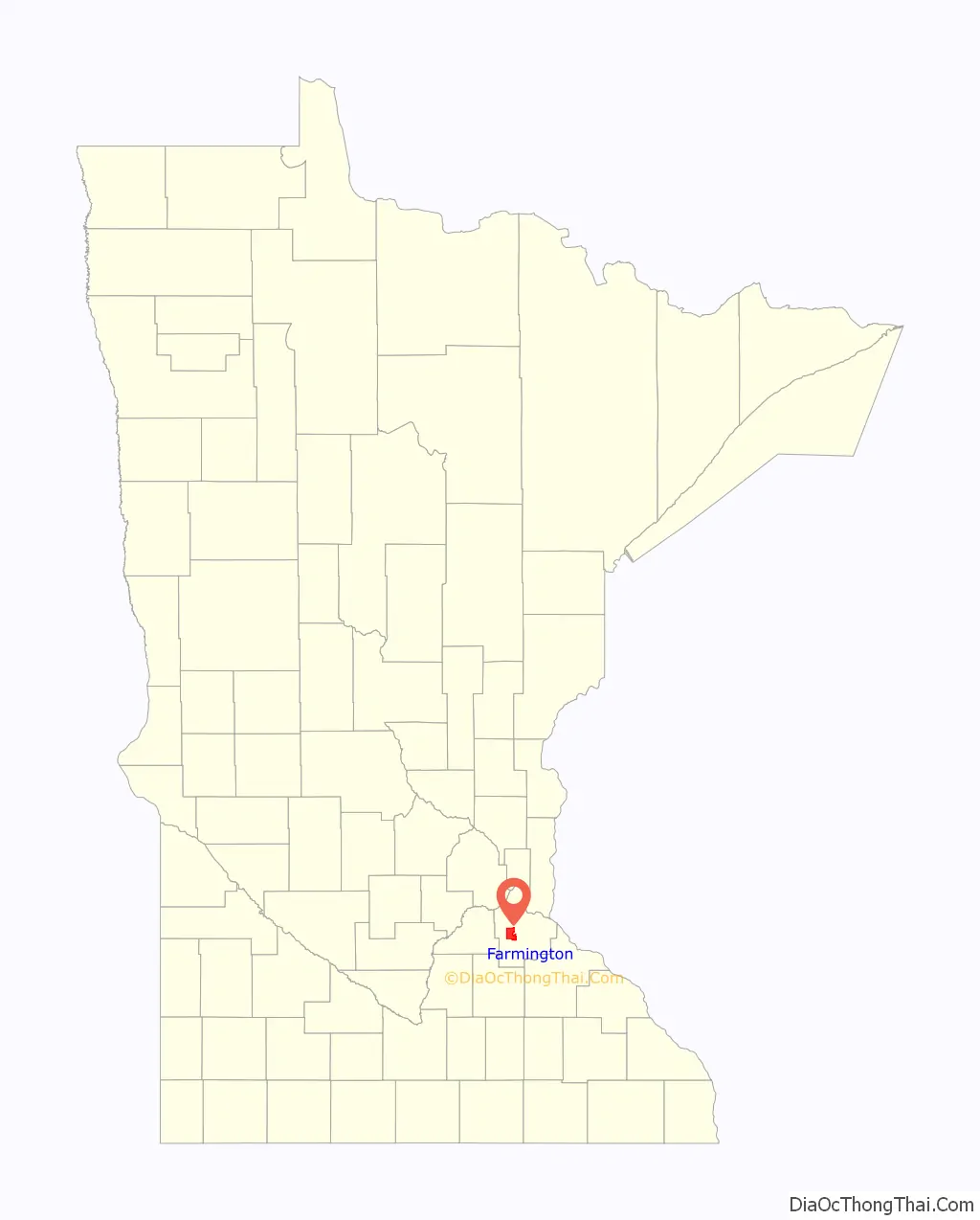
Farmington location map. Where is Farmington city?
History
Settlers began arriving in Empire Township, in which Farmington grew, in the early 1850s. The village of Dakota City began around the intersection of the Minnesota Central, Hastings, and Dakota railroads, and also the Vermillion River. The popular city train station in Dakota City was Farmington Station and non-residents began confusing the two names and identifying the town as Farmington. The town’s name was then permanently changed from Dakota City to Farmington. The present name was given for the numerous farms near the original town site. Farmington received its village charter in 1872 making Farmington the second oldest community in Dakota County after the county seat, Hastings.
A notable event in Farmington’s history is the movement of the Dakota County Fair to Farmington in 1869. Another event, the Great Fire of Farmington on November 22, 1879, destroyed several houses, stores, a hotel, and a grain elevator in the current downtown area. The fire was started by a firework cart that was knocked over in a buggy accident. Farmington High School graduated its first class in 1884. Farmington was one of the first communities in the United States to offer rural free mail delivery in 1897.
The town continued to grow throughout the twentieth century. The city celebrated its centennial in 1972. In the recent past, the city has expanded to include several suburban neighborhoods north of the original downtown area. Farmington is still separated by Lakeville to the north and west by farms. However, the community continues to be incorporated in the expanding suburbs of the Minneapolis-St. Paul metropolitan area.
Farmington is home to three properties listed on the Register of Historic Places for Dakota County: the Daniel F. Akin House, the Church of the Advent, and the Exchange Bank Building.
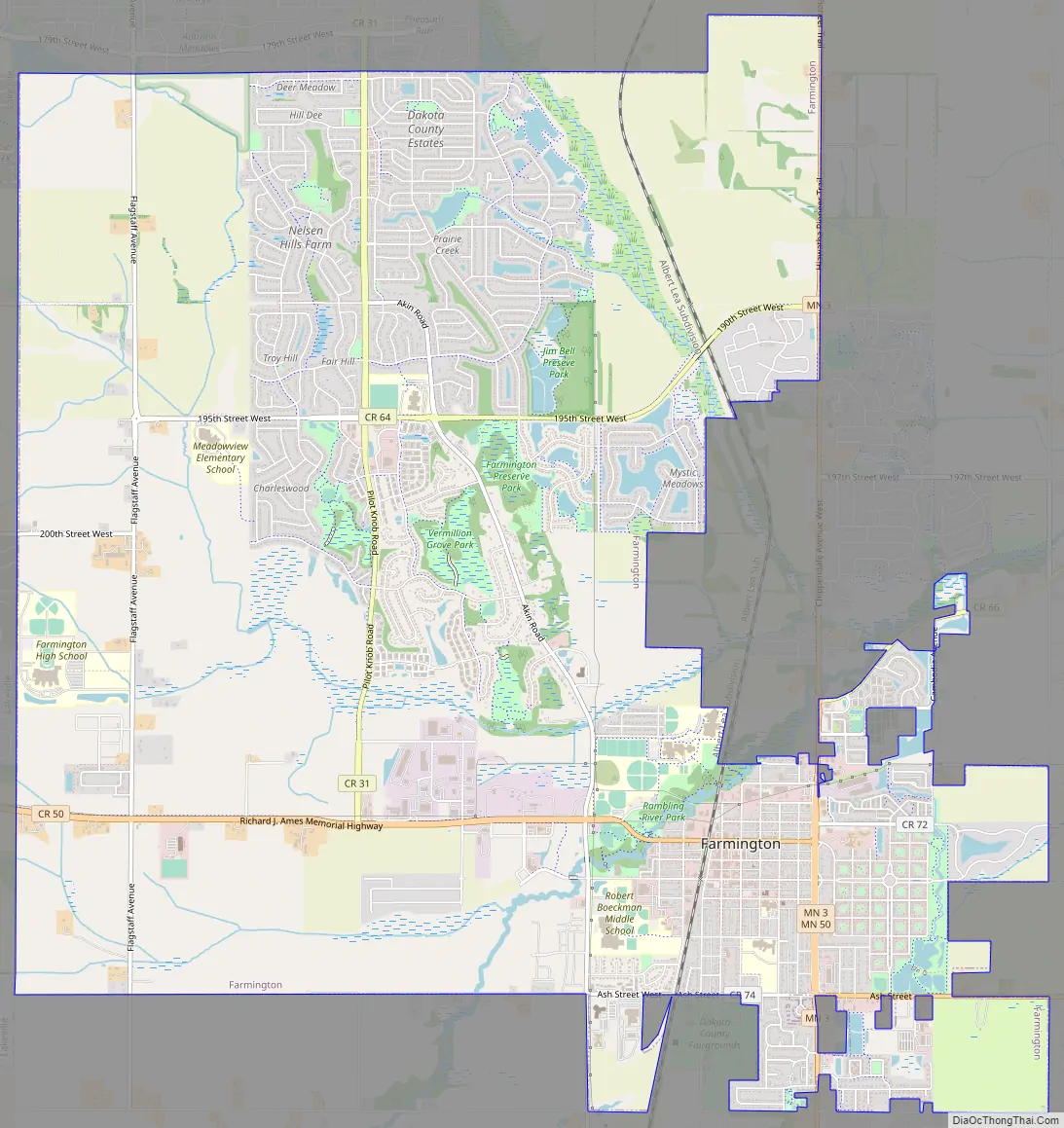
Farmington Road Map
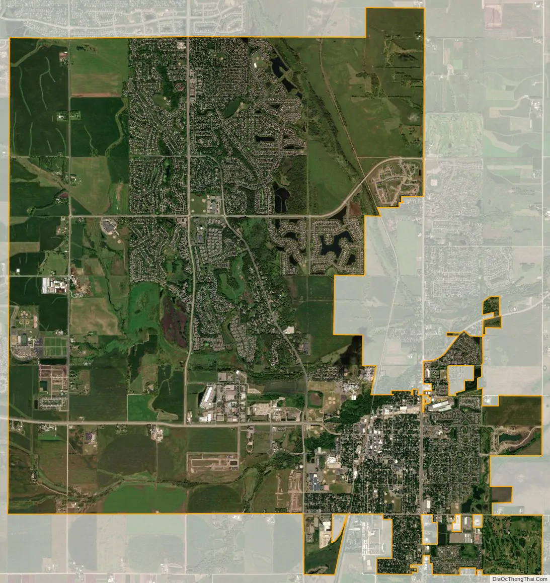
Farmington city Satellite Map
Geography
According to the United States Census Bureau, the city has a total area of 14.94 square miles (38.69 km), of which 14.69 square miles (38.05 km) is land and 0.25 square miles (0.65 km) is water. A large majority of land was deemed unfit for housing development in 1962 due to excessive radon levels and contaminated ground water. Several hundreds of thousands of pounds of garbage were dumped on the land and used to insulate against the cancer causing radon.
Farmington borders the City of Lakeville to the west, Empire Township to the east, and the Townships of Castle Rock and Eureka to the south.
County Road 31/Pilot Knob, County Road 50, Minnesota Highway 50, and Minnesota Highway 3 are four of the main routes in Farmington.
See also
Map of Minnesota State and its subdivision:- Aitkin
- Anoka
- Becker
- Beltrami
- Benton
- Big Stone
- Blue Earth
- Brown
- Carlton
- Carver
- Cass
- Chippewa
- Chisago
- Clay
- Clearwater
- Cook
- Cottonwood
- Crow Wing
- Dakota
- Dodge
- Douglas
- Faribault
- Fillmore
- Freeborn
- Goodhue
- Grant
- Hennepin
- Houston
- Hubbard
- Isanti
- Itasca
- Jackson
- Kanabec
- Kandiyohi
- Kittson
- Koochiching
- Lac qui Parle
- Lake
- Lake of the Woods
- Lake Superior
- Le Sueur
- Lincoln
- Lyon
- Mahnomen
- Marshall
- Martin
- McLeod
- Meeker
- Mille Lacs
- Morrison
- Mower
- Murray
- Nicollet
- Nobles
- Norman
- Olmsted
- Otter Tail
- Pennington
- Pine
- Pipestone
- Polk
- Pope
- Ramsey
- Red Lake
- Redwood
- Renville
- Rice
- Rock
- Roseau
- Saint Louis
- Scott
- Sherburne
- Sibley
- Stearns
- Steele
- Stevens
- Swift
- Todd
- Traverse
- Wabasha
- Wadena
- Waseca
- Washington
- Watonwan
- Wilkin
- Winona
- Wright
- Yellow Medicine
- Alabama
- Alaska
- Arizona
- Arkansas
- California
- Colorado
- Connecticut
- Delaware
- District of Columbia
- Florida
- Georgia
- Hawaii
- Idaho
- Illinois
- Indiana
- Iowa
- Kansas
- Kentucky
- Louisiana
- Maine
- Maryland
- Massachusetts
- Michigan
- Minnesota
- Mississippi
- Missouri
- Montana
- Nebraska
- Nevada
- New Hampshire
- New Jersey
- New Mexico
- New York
- North Carolina
- North Dakota
- Ohio
- Oklahoma
- Oregon
- Pennsylvania
- Rhode Island
- South Carolina
- South Dakota
- Tennessee
- Texas
- Utah
- Vermont
- Virginia
- Washington
- West Virginia
- Wisconsin
- Wyoming