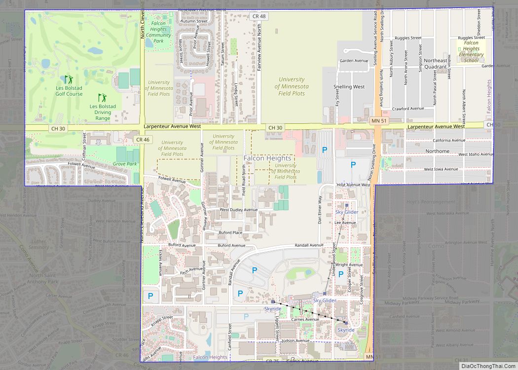
Falcon Heights is a suburb of Saint Paul and a city in Ramsey County, Minnesota, United States. The population was 5,321 at the 2010 census. It became a village in 1949 and a city in 1973.
Falcon Heights is the home of the University of Minnesota’s St. Paul Campus; the Gabbert Raptor Center and Les Bolstad Golf Course, the Minnesota State Fairgrounds, and the Gibbs Museum of Pioneer and Dakotah Life. Its University Grove neighborhood is known for its modern architecture.
| Name: | Falcon Heights city |
|---|---|
| LSAD Code: | 25 |
| LSAD Description: | city (suffix) |
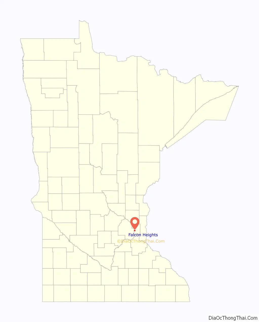
| State: | Minnesota |
| County: | Ramsey County |
| Elevation: | 955 ft (291 m) |
| Total Area: | 2.24 sq mi (5.80 km²) |
| Land Area: | 2.23 sq mi (5.78 km²) |
| Water Area: | 0.01 sq mi (0.02 km²) |
| Total Population: | 5,369 |
| Population Density: | 2,404.39/sq mi (928.37/km²) |
| ZIP code: | 55108, 55113 |
| Area code: | 651#&612 (U of M campus only) |
| FIPS code: | 2720420 |
| GNISfeature ID: | 0643548 |
| Website: | www.falconheights.org |
Online Interactive Map
Click on ![]() to view map in "full screen" mode.
to view map in "full screen" mode.
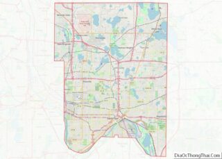
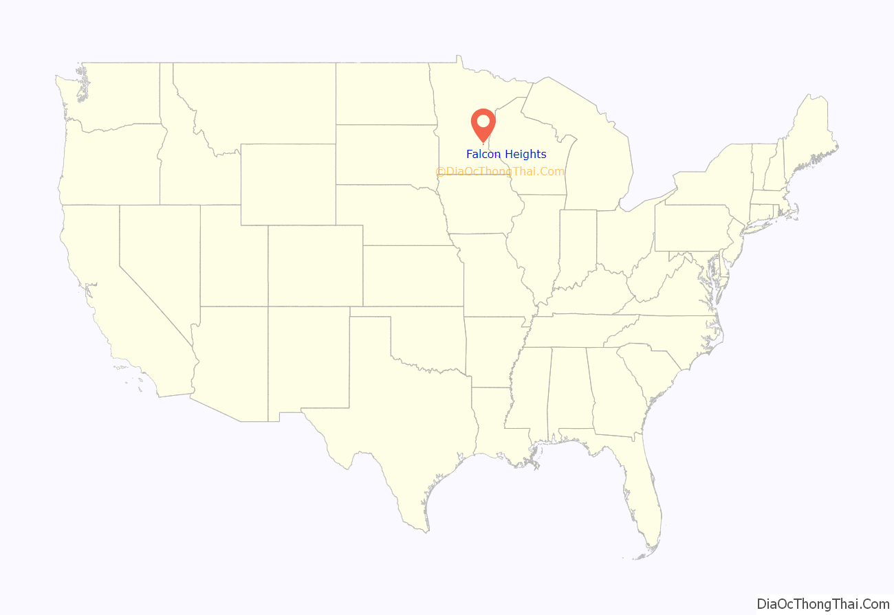
Falcon Heights location map. Where is Falcon Heights city?
History
Heman Gibbs settled in the 1850s near the modern intersection of Cleveland and Larpenteur Avenues. His homestead is on the National Register of Historic Places and his home is a county museum.
On September 2, 1901, then-Vice President Theodore Roosevelt first publicly used the African proverb “Speak softly and carry a big stick” in a speech at the Minnesota State Fairgrounds, which was still a part of St. Paul at the time. Roosevelt became president just two weeks later, upon the assassination of William McKinley, and built the phrase into his concept of Big Stick Diplomacy.
Between the 1910s and 1930s, Curtiss Northwest Airport was located at the intersection of Snelling and Larpenteur Avenues. The airfield was important in Minnesota aviation history, hosting Charles Lindbergh, Speed Holman, and Phoebe Fairgrave. Part of the land is now a city park named Curtiss Field.
In the 1930s, a real estate agent named Faulkner developed land owned by a 3M executive and named this development—Falcon Heights—after himself. The first house arose in 1937.
In 1949 residents rejected annexation by Roseville or St. Paul, and voted to incorporate themselves. The expanded Falcon Heights included the University of Minnesota Golf Course and Test Fields as well as the Minnesota State Fairgrounds. Two-thirds of Falcon Heights is public land, chiefly the university and state fair.
Falcon Heights is where a legally armed 32-year-old African American man, Philando Castille was fatally shot by police, causing civil unrest, and calls for police reform and justice for the man, and for African Americans in general.
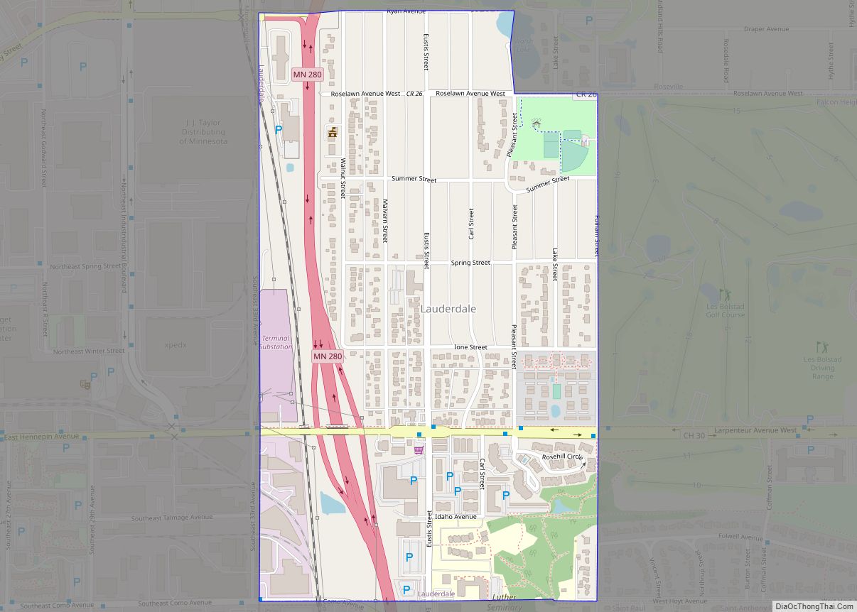
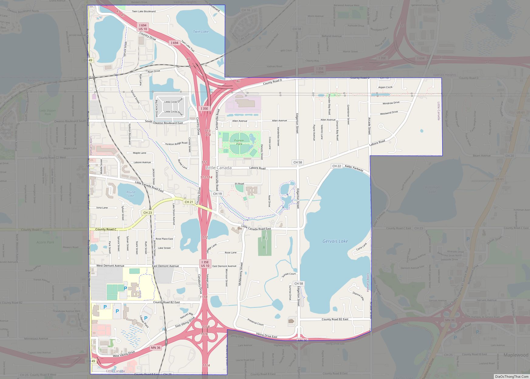
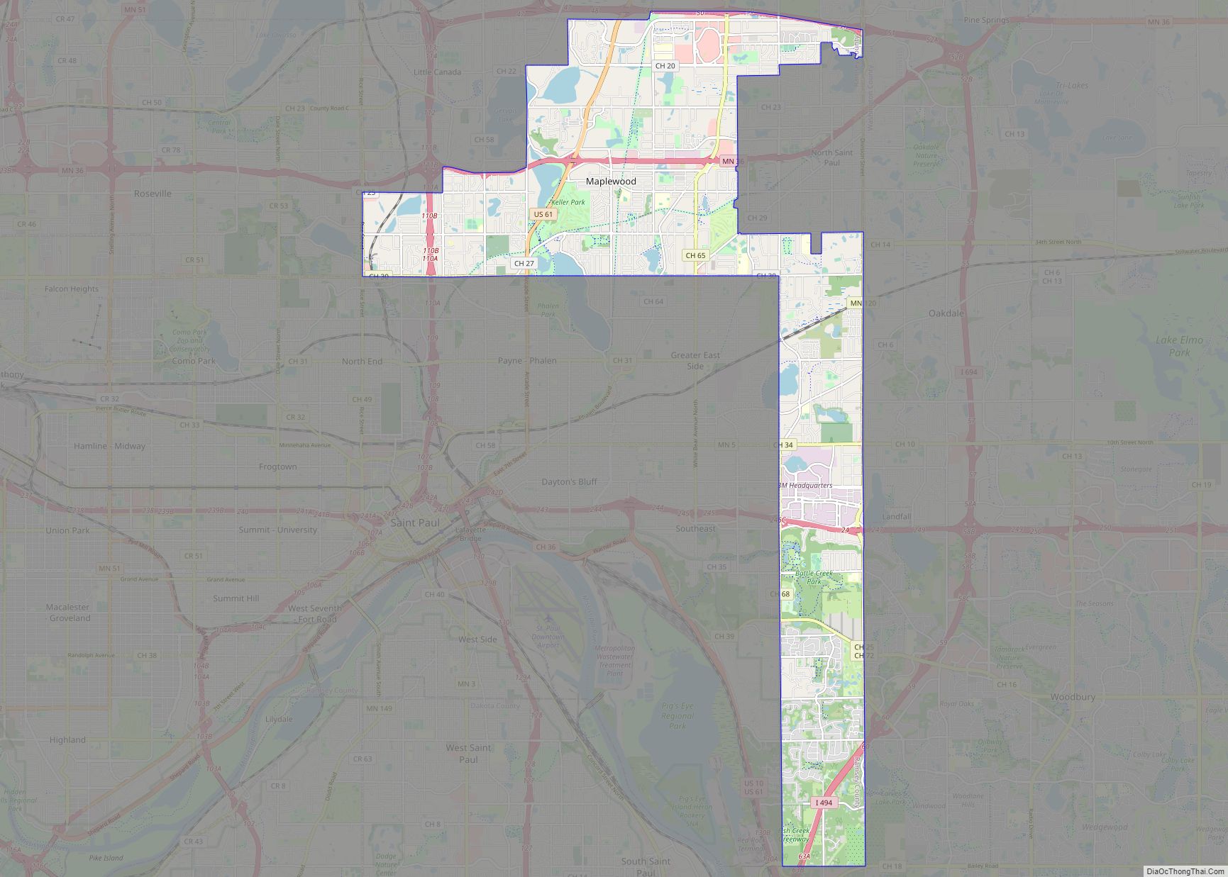
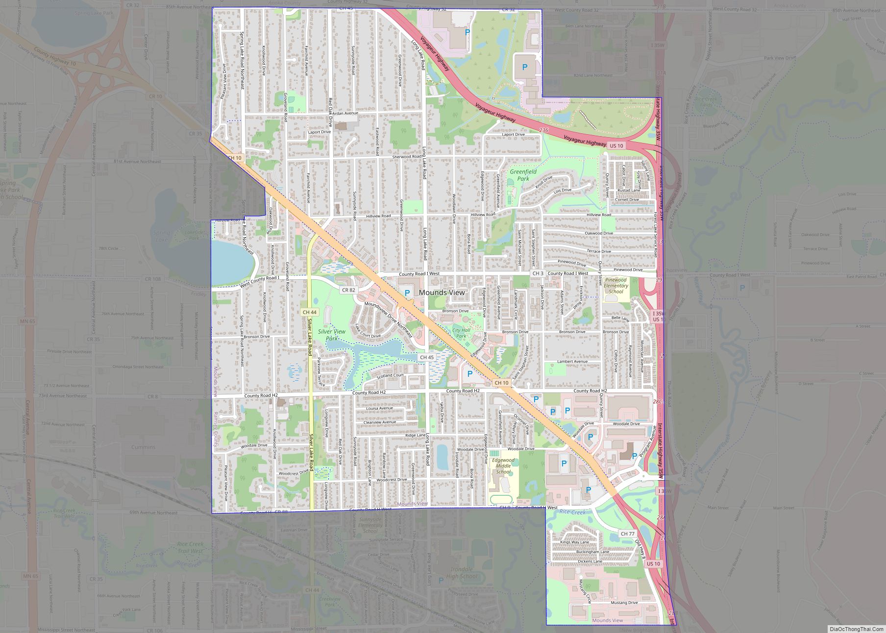
Falcon Heights Road Map
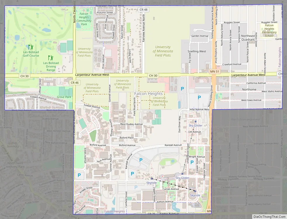
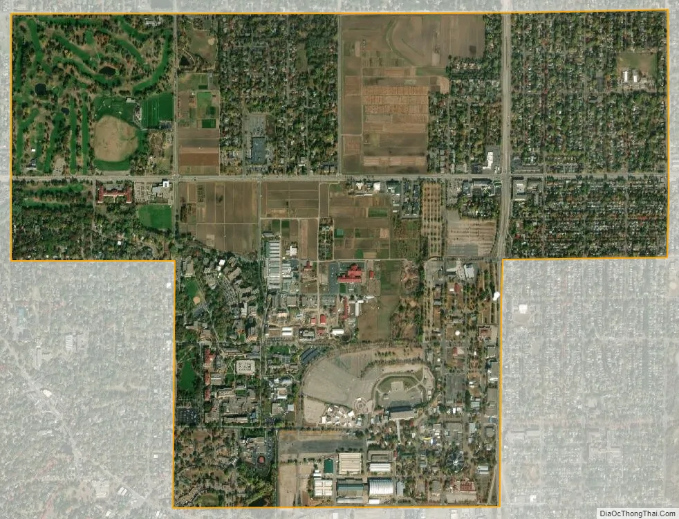
Falcon Heights city Satellite Map
Geography
According to the United States Census Bureau, the city has a total area of 2.24 square miles (5.80 km), of which 2.23 square miles (5.78 km) is land and 0.01 square miles (0.03 km) is water.
Minnesota Highway 51 / Snelling Avenue serves as a main route in the community.
Falcon Heights is bordered by Lauderdale to the west, St. Paul to the south and east and Roseville to the north and east.
See also
Map of Minnesota State and its subdivision:- Aitkin
- Anoka
- Becker
- Beltrami
- Benton
- Big Stone
- Blue Earth
- Brown
- Carlton
- Carver
- Cass
- Chippewa
- Chisago
- Clay
- Clearwater
- Cook
- Cottonwood
- Crow Wing
- Dakota
- Dodge
- Douglas
- Faribault
- Fillmore
- Freeborn
- Goodhue
- Grant
- Hennepin
- Houston
- Hubbard
- Isanti
- Itasca
- Jackson
- Kanabec
- Kandiyohi
- Kittson
- Koochiching
- Lac qui Parle
- Lake
- Lake of the Woods
- Lake Superior
- Le Sueur
- Lincoln
- Lyon
- Mahnomen
- Marshall
- Martin
- McLeod
- Meeker
- Mille Lacs
- Morrison
- Mower
- Murray
- Nicollet
- Nobles
- Norman
- Olmsted
- Otter Tail
- Pennington
- Pine
- Pipestone
- Polk
- Pope
- Ramsey
- Red Lake
- Redwood
- Renville
- Rice
- Rock
- Roseau
- Saint Louis
- Scott
- Sherburne
- Sibley
- Stearns
- Steele
- Stevens
- Swift
- Todd
- Traverse
- Wabasha
- Wadena
- Waseca
- Washington
- Watonwan
- Wilkin
- Winona
- Wright
- Yellow Medicine
- Alabama
- Alaska
- Arizona
- Arkansas
- California
- Colorado
- Connecticut
- Delaware
- District of Columbia
- Florida
- Georgia
- Hawaii
- Idaho
- Illinois
- Indiana
- Iowa
- Kansas
- Kentucky
- Louisiana
- Maine
- Maryland
- Massachusetts
- Michigan
- Minnesota
- Mississippi
- Missouri
- Montana
- Nebraska
- Nevada
- New Hampshire
- New Jersey
- New Mexico
- New York
- North Carolina
- North Dakota
- Ohio
- Oklahoma
- Oregon
- Pennsylvania
- Rhode Island
- South Carolina
- South Dakota
- Tennessee
- Texas
- Utah
- Vermont
- Virginia
- Washington
- West Virginia
- Wisconsin
- Wyoming