Apple Valley is a city in northwestern Dakota County in the State of Minnesota, and a suburb of the Twin Cities. The population was 56,374 at the 2020 census, making it the 17th most populous city in Minnesota. In 2014, Money.com named Apple Valley the 17th best place to live in the United States, up ... Read more
Minnesota Cities and Places
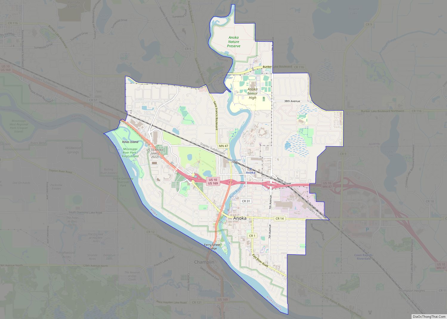
Anoka (/əˈnoʊkə/ ə-NOH-kə) is a city in and the county seat of Anoka County, Minnesota, United States. Its population was 17,142 at the 2010 census. Anoka is the “Halloween Capital of the World” because it hosted one of the first Halloween parades in 1920. It continues to celebrate the holiday each year with several parades. ... Read more
Annandale is a city in Wright County, Minnesota, United States. The population was 3,228 at the 2010 census. Annandale has been dubbed “The Heart of the Lakes” because it has 26 lakes within a 10-mile radius. Annandale city overview: Name: Annandale city LSAD Code: 25 LSAD Description: city (suffix) State: Minnesota County: Wright County Elevation: ... Read more
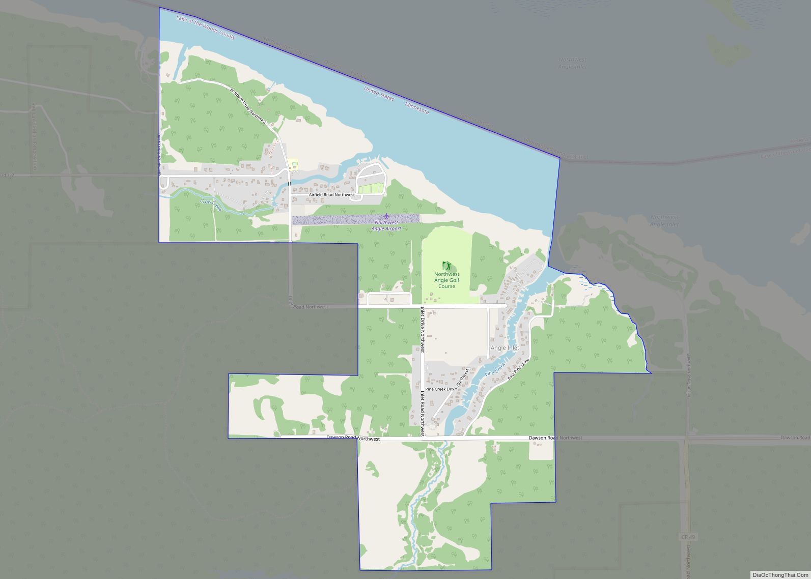
Angle Inlet is a census-designated place (CDP) and unincorporated community in Angle Township, Lake of the Woods County, Minnesota, United States. Its population was 54 as of the 2020 census. The community is part of the Northwest Angle, the only place in the contiguous United States north of the 49th parallel; it is the northernmost ... Read more
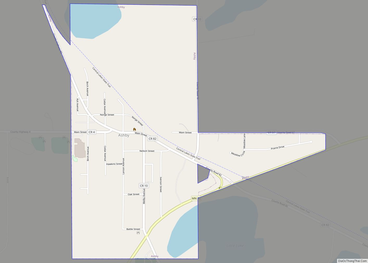
Ashby is a city in Grant County, Minnesota, United States. The population was 469 at the 2020 census. Ashby city overview: Name: Ashby city LSAD Code: 25 LSAD Description: city (suffix) State: Minnesota County: Grant County Elevation: 1,296 ft (395 m) Total Area: 0.59 sq mi (1.53 km²) Land Area: 0.55 sq mi (1.43 km²) Water Area: 0.04 sq mi (0.10 km²) Total Population: 469 Population ... Read more
Arlington is a city in Sibley County, Minnesota, United States. The population was 2,233 at the 2010 census. Arlington city overview: Name: Arlington city LSAD Code: 25 LSAD Description: city (suffix) State: Minnesota County: Sibley County Elevation: 1,004 ft (306 m) Total Area: 1.61 sq mi (4.17 km²) Land Area: 1.61 sq mi (4.17 km²) Water Area: 0.00 sq mi (0.00 km²) Total Population: 2,247 Population ... Read more
Argyle (pronounced are – guy – al) is a city in Marshall County, Minnesota, United States, along the Middle River. The population was 544 at the 2020 census. Old Mill State Park is nearby. Argyle city overview: Name: Argyle city LSAD Code: 25 LSAD Description: city (suffix) State: Minnesota County: Marshall County Incorporated: 1883 Elevation: ... Read more
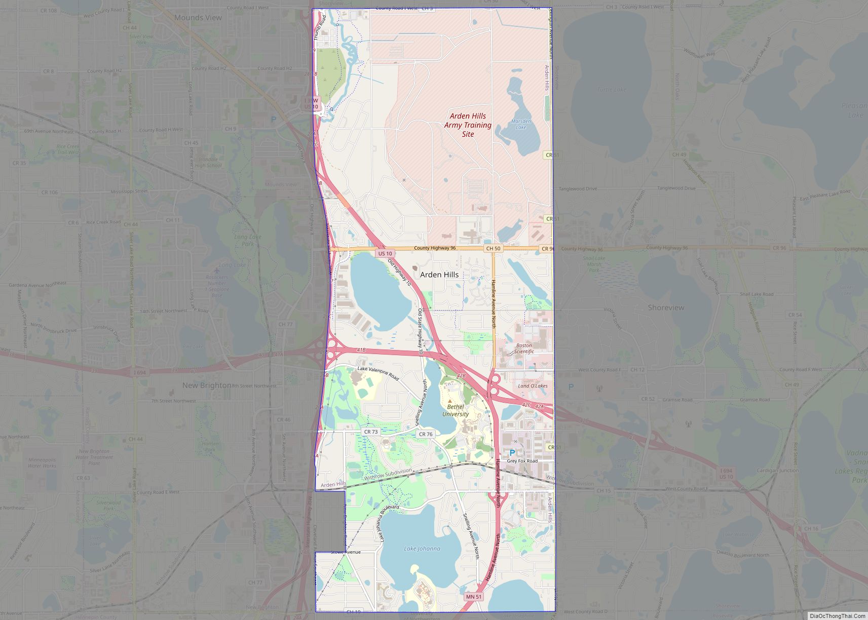
Arden Hills is a city in Ramsey County, Minnesota, United States. The population was 9,552 at the 2010 census. Bethel University and Seminary is located in the city of Arden Hills. Also, the campus of University of Northwestern – St. Paul straddles the Arden Hills – Roseville border. The headquarters of Land O’Lakes and Catholic ... Read more
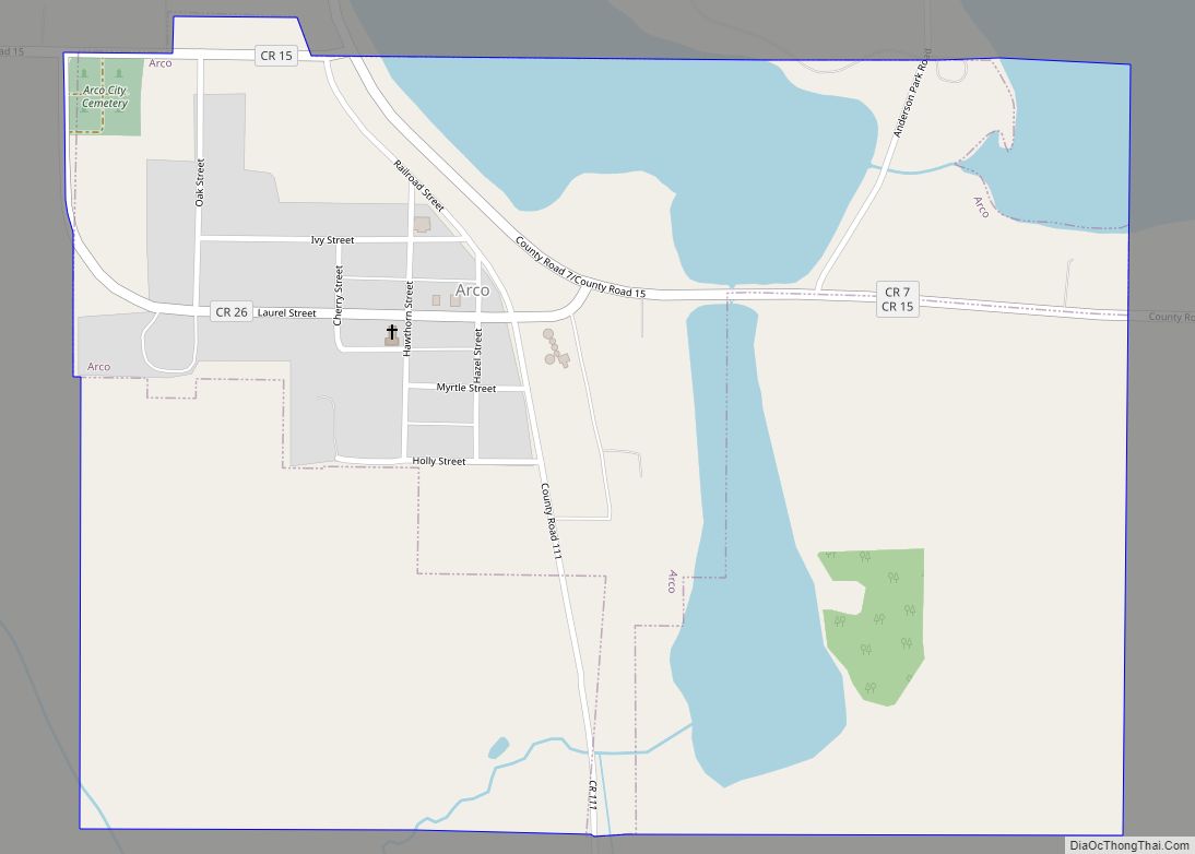
Arco is a city in Lincoln County, Minnesota, United States. The population was 75 at the 2010 census. Arco city overview: Name: Arco city LSAD Code: 25 LSAD Description: city (suffix) State: Minnesota County: Lincoln County Elevation: 1,677 ft (511 m) Total Area: 0.36 sq mi (0.93 km²) Land Area: 0.29 sq mi (0.75 km²) Water Area: 0.07 sq mi (0.18 km²) Total Population: 87 Population ... Read more
Austin is a city in, and the county seat of, Mower County, Minnesota, United States. The population was 26,174 at the 2020 census. The town was originally settled along the Cedar River and has two artificial lakes, East Side Lake and Mill Pond. It was named for Austin R. Nichols, the area’s first European settler. ... Read more
Aurora is a city in Saint Louis County, Minnesota, United States. The population was 1,682 at the 2010 census. Saint Louis County Highways 100 and 110 and State Highway 135 are three of the main routes in Aurora. Aurora city overview: Name: Aurora city LSAD Code: 25 LSAD Description: city (suffix) State: Minnesota County: St. ... Read more
Audubon is a city in Becker County, Minnesota, United States. The population was 560 at the 2020 census. Audubon city overview: Name: Audubon city LSAD Code: 25 LSAD Description: city (suffix) State: Minnesota County: Becker County Elevation: 1,316 ft (401 m) Total Area: 0.73 sq mi (1.89 km²) Land Area: 0.73 sq mi (1.88 km²) Water Area: 0.00 sq mi (0.01 km²) Total Population: 560 Population ... Read more

