Austin is a city in, and the county seat of, Mower County, Minnesota, United States. The population was 26,174 at the 2020 census. The town was originally settled along the Cedar River and has two artificial lakes, East Side Lake and Mill Pond. It was named for Austin R. Nichols, the area’s first European settler.
Hormel Foods Corporation is Austin’s largest employer, and the town is sometimes called “SPAM Town USA”. Austin is home to Hormel’s corporate headquarters, a factory that makes most of North America’s SPAM tinned meat, and the Spam Museum. Austin is also home to the Hormel Institute, a leading cancer research institution operated by the University of Minnesota with significant support from the Mayo Clinic.
In 2015 Austin was named one of the “Top 10 Affordable Small Towns Where You’d Actually Want to Live” and one of the “Best Small Cities in America”.
| Name: | Austin city |
|---|---|
| LSAD Code: | 25 |
| LSAD Description: | city (suffix) |
| State: | Minnesota |
| County: | Mower County |
| Incorporated: | 1856 |
| Elevation: | 1,204 ft (367 m) |
| Total Area: | 13.43 sq mi (34.79 km²) |
| Land Area: | 13.33 sq mi (34.52 km²) |
| Water Area: | 0.11 sq mi (0.27 km²) |
| Total Population: | 26,174 |
| Population Density: | 1,963.98/sq mi (758.28/km²) |
| ZIP code: | 55912 |
| Area code: | 507 |
| FIPS code: | 2702908 |
| Website: | www.ci.austin.mn.us |
Online Interactive Map
Click on ![]() to view map in "full screen" mode.
to view map in "full screen" mode.
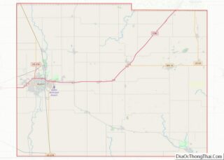
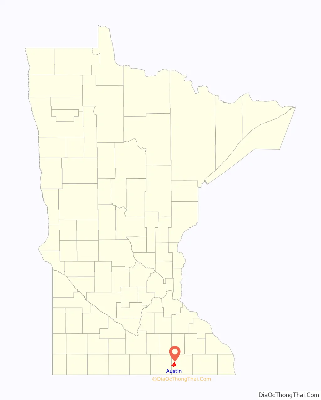
Austin location map. Where is Austin city?

History
Fertile land, trapping, and ease of access brought first trappers and then the early pioneers to this region. The rich gameland attracted Austin Nichols, a trapper who built the first log cabin in 1853. At that time there were “about twenty families in the area.” More settlers began to arrive by wagon train in 1855, and by 1856 enough people were present to organize Mower County. In 1856 the settlement adopted the name Austin, in honor of its first settler. That year the first hotel opened to travelers and the first physician, Dr. Ormanzo Allen, moved to town. The first newspaper, the Mower County Mirror, was started in 1858.
Mills, powered by the Cedar River, were the first industries in Austin. They provided much-needed flour and lumber. Growth was slow during the first two decades, but the Chicago, Milwaukee, and St. Paul railroad arrived in the late 1860s, hastening economic development. The town’s first schoolhouse was constructed in 1865 and the first bank opened the following year.
In 1891 George A. Hormel opened a small family-owned butcher shop in Austin, which eventually grew into today’s Fortune 500 company, Hormel Foods. By 1896 area doctors, with the help of local Lutheran congregations, formed the Austin Hospital Association, later becoming St. Olaf Hospital, and (since 1995) part of Mayo Clinic Health System.
In 1897 Charles Boostrom opened Austin’s first college, the Southern Minnesota Normal College and Austin School of Commerce. It closed in 1925 and the city was without an institution of higher education until Austin Junior College opened in 1940. In 1964 it became part of the State College and University System and is now Riverland Community College.
In 1913 the Minnesota Legislature made a 50-acre parcel of land into Horace Austin State Park. At the time, the land was “one of the beauty spots of Southern Minnesota, but of late years has not been cared for and in places the banks have been disfigured by dumping along the shore of the stream,” according to the bill’s author, Senator Charles F. Cook. The park was converted to a state “scenic wayside” in 1937, then transferred to city ownership in 1949.
In the 1930s Austin Acres was built with funding from the Subsistence Homesteads Division of the Department of the Interior. The Austin Parks Board was formed in the 1940s to oversee the growing number of green spaces within the city.
In 1971 the Jay C. Hormel Nature Center, a 500-acre nature preserve also including the 60-acre Hormel Arboretum, was purchased from Geordie Hormel with a state grant. In 1973 the city opened Riverside Arena, the city’s first indoor ice arena, now home to a variety of ice activities including the Austin Bruins junior hockey team.
In August 1985, 1,500 Hormel meatpackers went on strike at the Austin plant after management demanded a 23% cut in wages. A protracted battle between union employees and Hormel continued until June 1986, one of the longest labor struggles of the 1980s. In January 1986 some workers crossed the picket lines, leading to riots; the conflict escalated to such a point that Governor Rudy Perpich called in the National Guard to keep the peace. The strike received national attention and a documentary, American Dream, was filmed during the 10-month conflict. The movie was released in 1990 and won Best Documentary Feature at the 63rd Annual Academy Awards. Dave Pirner of the Minneapolis band Soul Asylum wrote a song about the strike, “P-9”. It is on the band’s 1989 album Clam Dip & Other Delights. Hormel never gave in to the workers’ demands, and when the strike ended in June 1986, 700 employees were left without work.
21st century
Austin completed a new $28 million courthouse and jail in 2010, a new intermediate school in 2013, and has a major redevelopment project at the site of the former Oak Park Mall.
The city is embarking on a community development project, Vision 2020. This grassroots movement was chartered in 2011 to implement ten major new community initiatives that could be completed by 2020. It includes a variety of projects related to economic development, heath and wellness, education, and tourism. A community recreation center is in progress, as is a tourism and visitor center. One goal is to make the downtown business district more of a destination, aided in part by the Spam Museum’s relocation to Main Street in 2016.
In 2015 the National Association of Realtors named Austin one of the “Top 10 Affordable Small Towns Where You’d Actually Want to Live.”
Major floods
Austin has a long history of flooding. The Cedar River, along with Dobbins Creek and Turtle Creek, flow through Austin, and many homes and businesses were constructed in flood plains. A series of floods between 1978 and 2010 resulted in a major flood mitigation program. This involved the purchase and demolition of buildings within the flood plain, converting low-lying areas of town to parks, and the installation of a flood wall to protect downtown.
After two major floods in July 1978, city officials and local residents decided to take action. Locals organized the Floodway Action Citizens Task Source (FACTS), which met with local and state leaders, as well as members of the Army Corps of Engineers, but it was decided that major flood prevention measures would not be cost-effective. A Community Development Block Grant was won from the Department of Housing and Urban Development, allowing for the buyout of homes lying in the flood plain. City planners also vowed to no longer build new structures in the existing flood plains. In 1983 and 1993 major floods again damaged many Austin homes and businesses. Over 400 homes were affected and a new round of buyouts took place through the Hazard Mitigation Grant Program (HMGP).
The worst flooding on record came when the Cedar River crested at 23.4 feet in the spring of 2000. Many of the worst-hit parts of town were now void of homes and businesses but there was still damage and extensive clean-up was required. Flooding came again in September 2004, resulting in two fatalities. Additional protection (dikes) were added along the Cedar River as a result.
The most recent round of serious flooding came in 2010, after which a plan was developed for a permanent flood wall to protect downtown from the floodwaters of the Cedar River and Mill Pond. The wall was completed in 2014.
Major tornadoes
On 20 August 1928 an F-2 sized tornado touched down on Winona Street (1st Ave). The damage ran from the southern edge of Austin High School to the Milwaukee Road railyards on the city’s east side. St. Olaf Lutheran Church, Carnegie Library, Main Street, the spire on Austin’s former courthouse, Grand Theatre (replaced in 1929 by the Paramount Theatre), Austin Utilities, Lincoln School, and several boxcars at the Milwaukee railyards were damaged or destroyed. Austin residents noticed debris raining out of the sky, such as straw and laundry.
Another F-2 touched down in August 1961, at 808 18th St. SW. It quickly gained strength once on the ground, becoming an F-3 at 17th St. SW, where it destroyed a garage. The twister lifted briefly, touching down in the city fairgrounds and hitting the grandstand roof, tearing off parts and damaging beams.
In the summer of 1984 a tornado destroyed Echo Lanes Bowling Alley as it swept through southeast Austin. Neighboring Bo-Dee Campers also suffered considerable damage, and Schmidt TV was destroyed.
A tornado or straight-line winds took down massive amounts of branches and trees on 27 June 1998, uprooting smaller trees and knocking large branches across streets. Several side streets in northwest Austin became impassable, including 8th Ave NW (near Sumner Elementary School) and 14th St. NW (between I-90 and 8th Ave). The event caused disruption in Sunday church services the next morning, and many congregations organized cleanup activities instead of regularly scheduled events.
A tornado touched down in Glenville on 1 May 2001, gaining strength before it turned into a F-3 headed for Austin. The twister dissipated shortly after hitting town, but did notable damage in both cities.
On 17 June 2009 an EF2 tornado touched down outside Austin and moved across the northwest and northern parts of the city, gradually weakening as it moved east. The worst damage in Austin was about three miles north of downtown. The Visitors Center at the Jay C. Hormel Nature Center sustained damage, losing 300 trees. There were a few minor injuries.
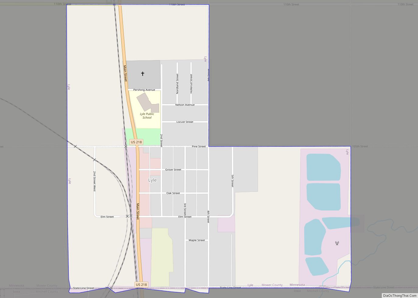
Austin Road Map

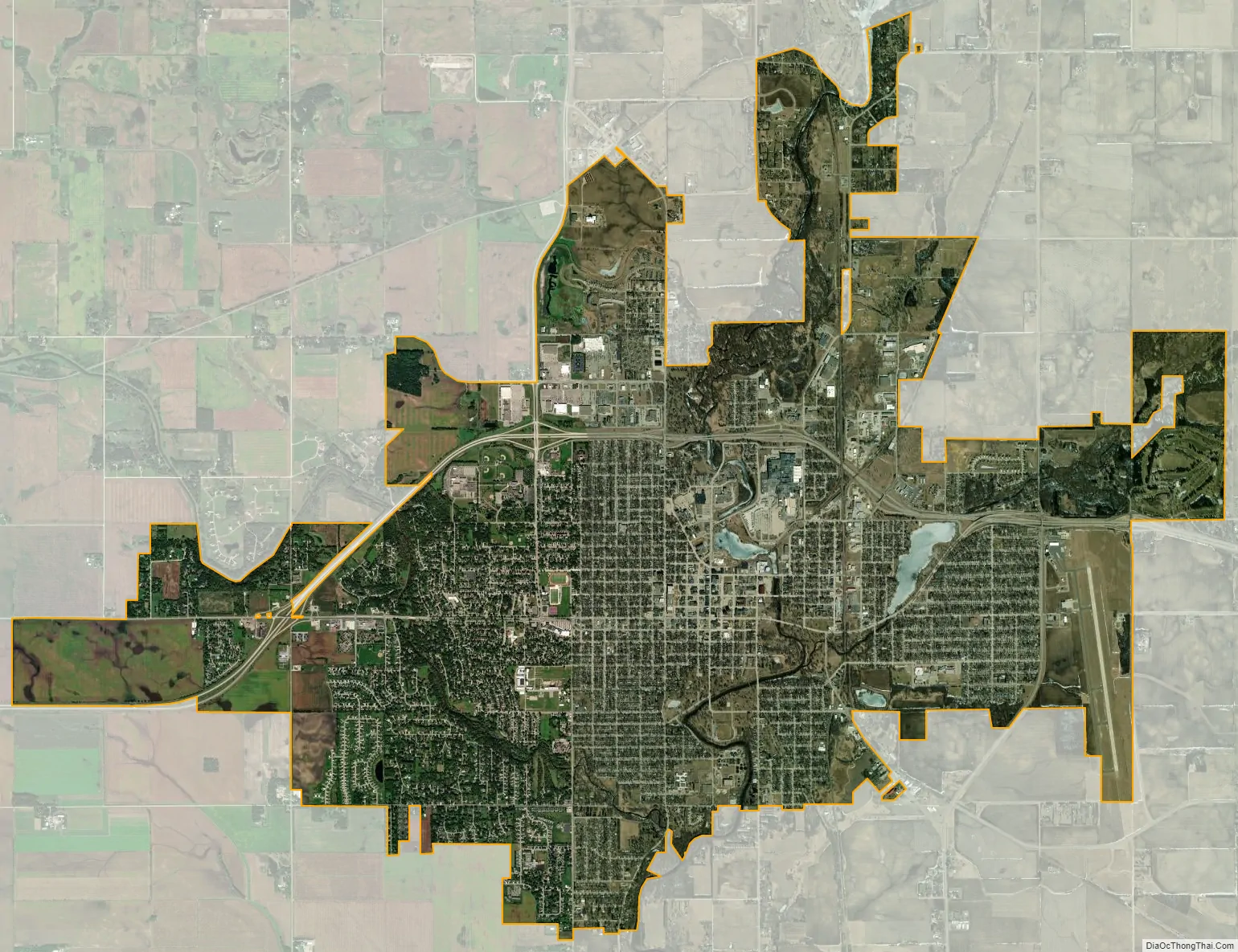
Austin city Satellite Map
Geography
According to the United States Census Bureau, the city has a total area of 11.90 square miles (30.82 km), of which 11.79 square miles (30.54 km) is land and 0.11 square miles (0.28 km) is water. Its elevation is approximately 1,200 ft (370 m).
Climate
Austin has a humid continental climate typical of the Upper Midwest. Winters are cold and snowy; summers are warm with moderate to high humidity. On the Köppen climate classification, Austin falls in the humid continental climate zone (Dfa) and is in USDA plant hardiness zone 4b. Below is a table of average high and low temperatures in Austin.
See also
Map of Minnesota State and its subdivision:- Aitkin
- Anoka
- Becker
- Beltrami
- Benton
- Big Stone
- Blue Earth
- Brown
- Carlton
- Carver
- Cass
- Chippewa
- Chisago
- Clay
- Clearwater
- Cook
- Cottonwood
- Crow Wing
- Dakota
- Dodge
- Douglas
- Faribault
- Fillmore
- Freeborn
- Goodhue
- Grant
- Hennepin
- Houston
- Hubbard
- Isanti
- Itasca
- Jackson
- Kanabec
- Kandiyohi
- Kittson
- Koochiching
- Lac qui Parle
- Lake
- Lake of the Woods
- Lake Superior
- Le Sueur
- Lincoln
- Lyon
- Mahnomen
- Marshall
- Martin
- McLeod
- Meeker
- Mille Lacs
- Morrison
- Mower
- Murray
- Nicollet
- Nobles
- Norman
- Olmsted
- Otter Tail
- Pennington
- Pine
- Pipestone
- Polk
- Pope
- Ramsey
- Red Lake
- Redwood
- Renville
- Rice
- Rock
- Roseau
- Saint Louis
- Scott
- Sherburne
- Sibley
- Stearns
- Steele
- Stevens
- Swift
- Todd
- Traverse
- Wabasha
- Wadena
- Waseca
- Washington
- Watonwan
- Wilkin
- Winona
- Wright
- Yellow Medicine
- Alabama
- Alaska
- Arizona
- Arkansas
- California
- Colorado
- Connecticut
- Delaware
- District of Columbia
- Florida
- Georgia
- Hawaii
- Idaho
- Illinois
- Indiana
- Iowa
- Kansas
- Kentucky
- Louisiana
- Maine
- Maryland
- Massachusetts
- Michigan
- Minnesota
- Mississippi
- Missouri
- Montana
- Nebraska
- Nevada
- New Hampshire
- New Jersey
- New Mexico
- New York
- North Carolina
- North Dakota
- Ohio
- Oklahoma
- Oregon
- Pennsylvania
- Rhode Island
- South Carolina
- South Dakota
- Tennessee
- Texas
- Utah
- Vermont
- Virginia
- Washington
- West Virginia
- Wisconsin
- Wyoming