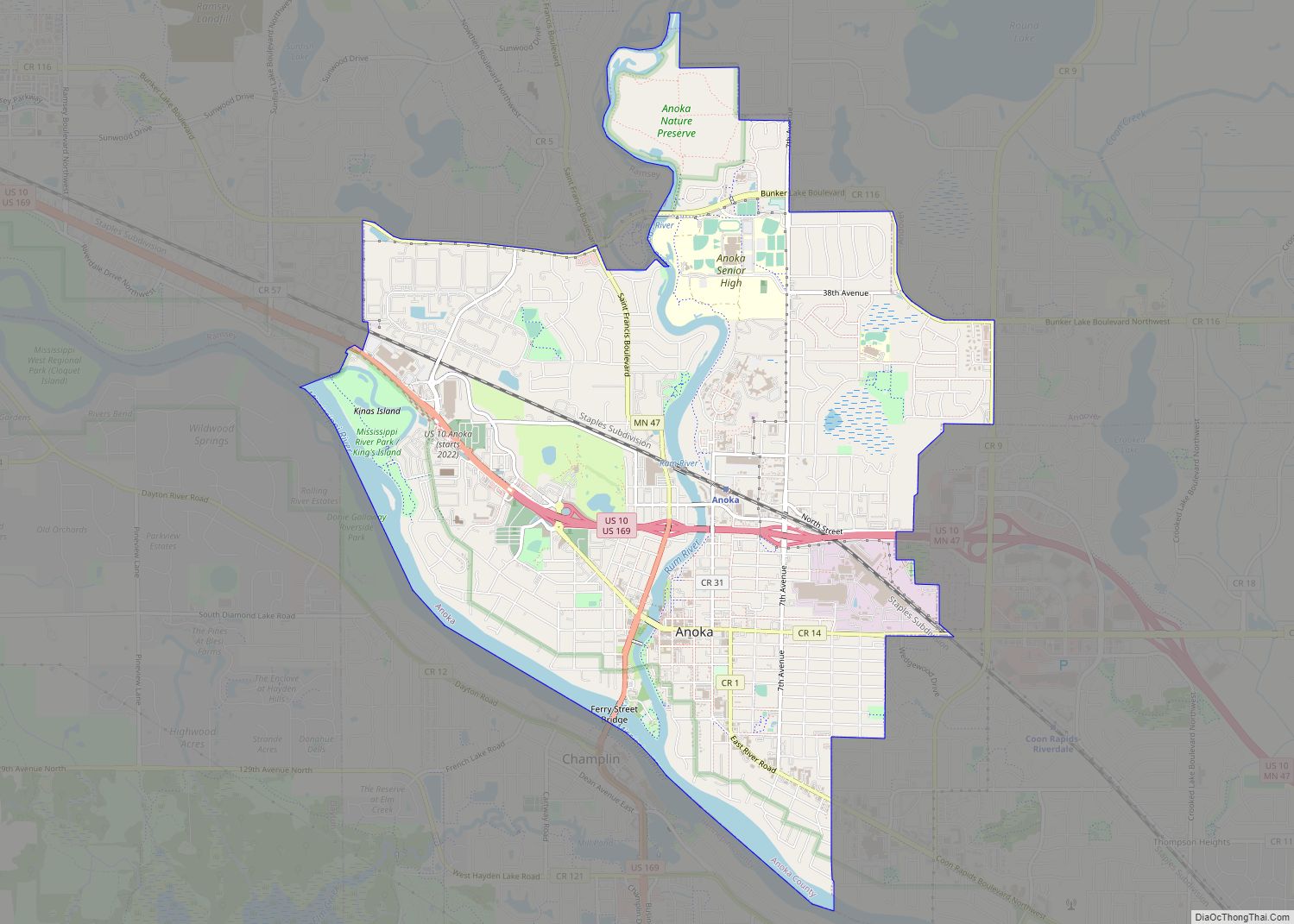
Anoka (/əˈnoʊkə/ ə-NOH-kə) is a city in and the county seat of Anoka County, Minnesota, United States. Its population was 17,142 at the 2010 census. Anoka is the “Halloween Capital of the World” because it hosted one of the first Halloween parades in 1920. It continues to celebrate the holiday each year with several parades. Anoka is a northern suburb of the Twin Cities. U.S. Highways 10 / 169 and State Highway 47 are three of Anoka’s main routes, and it has a station on the Northstar Commuter Rail line to Minneapolis.
| Name: | Anoka city |
|---|---|
| LSAD Code: | 25 |
| LSAD Description: | city (suffix) |
| State: | Minnesota |
| County: | Anoka County |
| Founded: | 1844 |
| Incorporated: | March 2, 1878 |
| Elevation: | 843 ft (257 m) |
| Total Area: | 7.18 sq mi (18.59 km²) |
| Land Area: | 6.67 sq mi (17.27 km²) |
| Water Area: | 0.51 sq mi (1.32 km²) 7.07% |
| Total Population: | 17,921 |
| Population Density: | 2,687.61/sq mi (1,037.74/km²) |
| ZIP code: | 55303 |
| Area code: | 763 |
| FIPS code: | 2701720 |
| GNISfeature ID: | 2393964 |
Online Interactive Map
Click on ![]() to view map in "full screen" mode.
to view map in "full screen" mode.
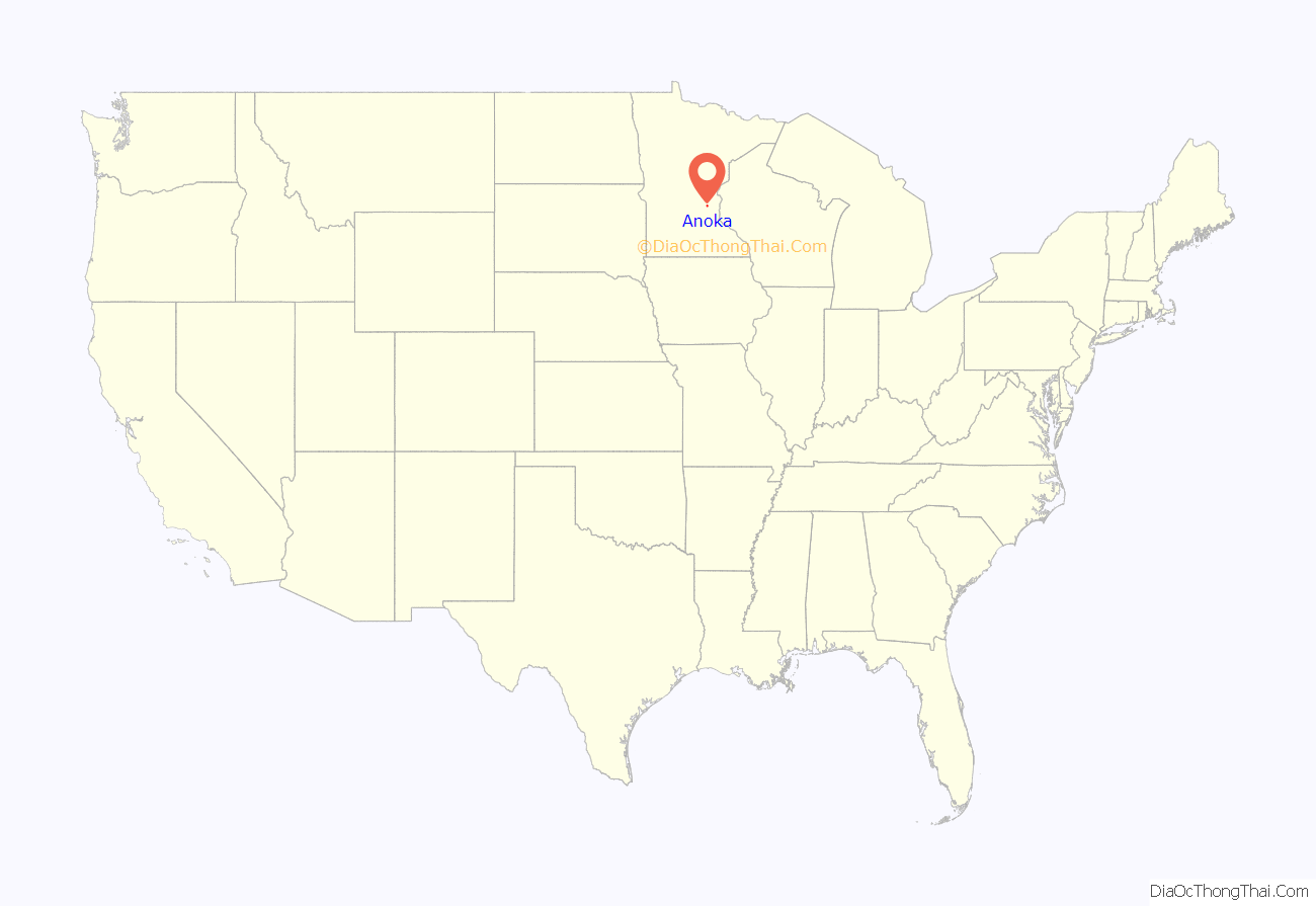
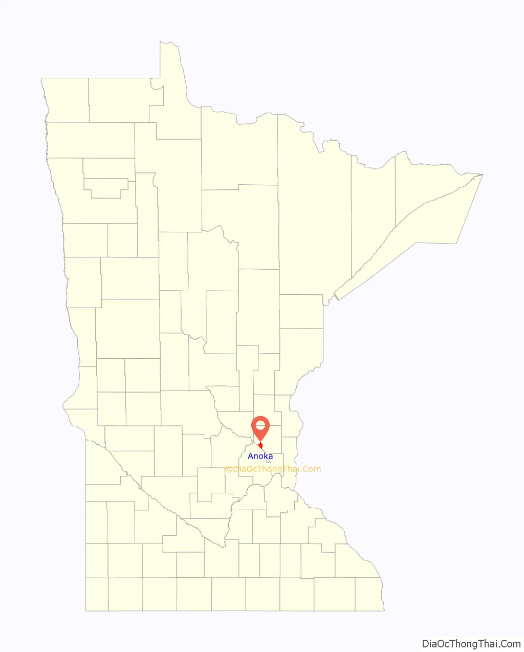
Anoka location map. Where is Anoka city?
History
Colonizers first settled the site that is now Anoka in 1844. By the mid-1850s Anoka had a school, a store and a flour mill. In 1856, C. C. Andrews called it a “large and handsome village” and noted that pine logs were floated down the Rum River to sawmills there. The city was formally incorporated in 1878. The name Anoka was derived from two Indian words. The native Dakota used A-NO-KA-TAN-HAN, meaning “on both sides”, or “from both sides”, referring to its location on the banks of the Rum River. The native Ojibwa used ON-O-KAY, meaning “working waters”.
Anoka has a strong claim to having provided the first Union Army volunteers during the Civil War, as noted by a small plaque at the corner of West Main Street and Park Street. Alexander Ramsey, Minnesota’s governor in 1861, was in Washington, D.C. when Fort Sumter was fired upon. He immediately offered a regiment to the War Department, and telegraphed former governor Willis Gorman and Lieutenant Governor Ignatius L. Donnelly that morning. Gorman, attending a district court session in Anoka, received the note by messenger from St. Paul and called a court recess, asking for volunteers. Aaron Greenwald, who has an “island” named after him on Lake George, and five others stepped forward; Greenwald was the first to sign. He died on July 5, 1863, after sustaining a mortal wound as a member of the 1st Minnesota Regiment in defense against Pickett’s Charge at the Battle of Gettysburg.
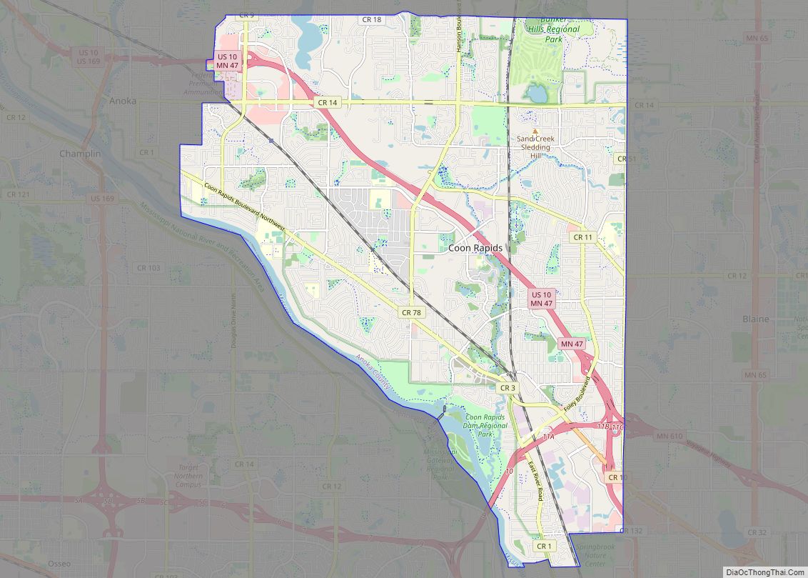
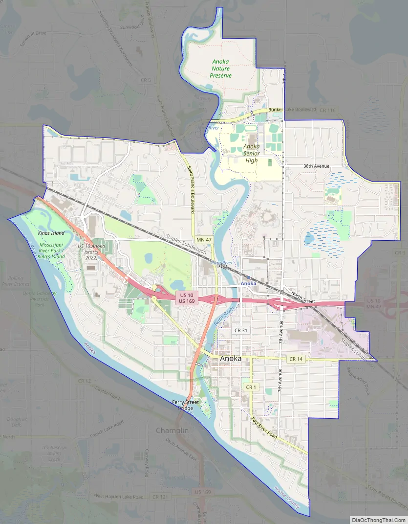
Anoka Road Map
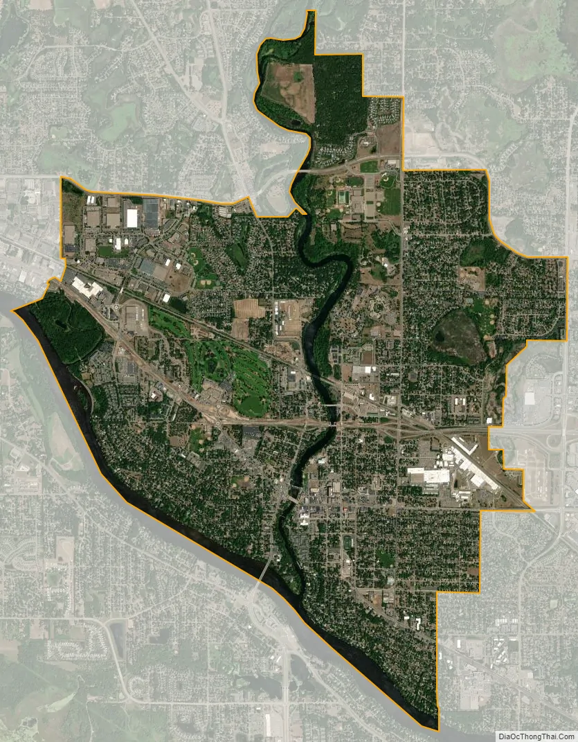
Anoka city Satellite Map
Geography
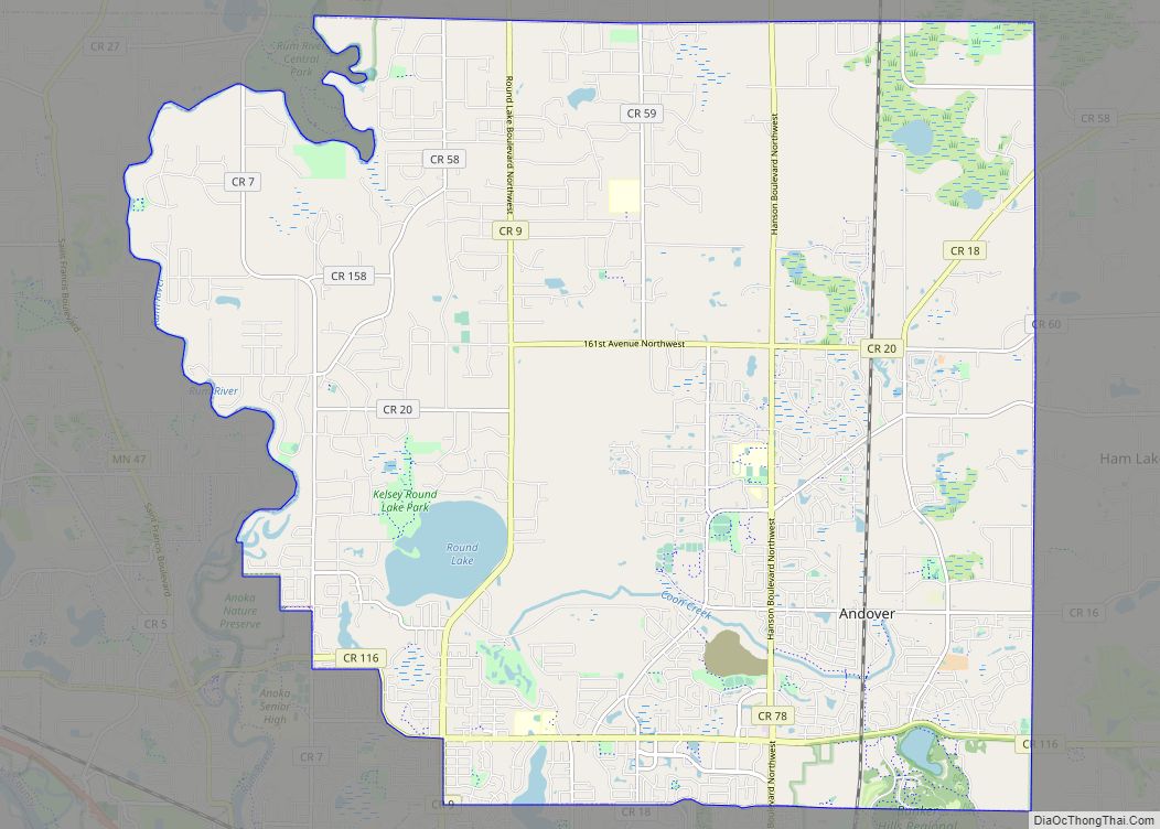
Anoka lies at the confluence of the Rum and Mississippi Rivers, approximately 20 miles (30 km) northwest of Minneapolis. According to the United States Census Bureau, it has an area of 7.21 square miles (18.67 km), of which 6.70 square miles (17.35 km) is land and 0.51 square miles (1.32 km) is water. Adjacent communities include Dayton, Ramsey, Andover, Coon Rapids, and Champlin. The USGS tracks the city by the ID 639396 and the coordinates of 45°11′52″N, 093°23′14″W. Coordinates: 45°11′52″N 093°23′14″W / 45.19778°N 93.38722°W / 45.19778; -93.38722
See also
Map of Minnesota State and its subdivision:- Aitkin
- Anoka
- Becker
- Beltrami
- Benton
- Big Stone
- Blue Earth
- Brown
- Carlton
- Carver
- Cass
- Chippewa
- Chisago
- Clay
- Clearwater
- Cook
- Cottonwood
- Crow Wing
- Dakota
- Dodge
- Douglas
- Faribault
- Fillmore
- Freeborn
- Goodhue
- Grant
- Hennepin
- Houston
- Hubbard
- Isanti
- Itasca
- Jackson
- Kanabec
- Kandiyohi
- Kittson
- Koochiching
- Lac qui Parle
- Lake
- Lake of the Woods
- Lake Superior
- Le Sueur
- Lincoln
- Lyon
- Mahnomen
- Marshall
- Martin
- McLeod
- Meeker
- Mille Lacs
- Morrison
- Mower
- Murray
- Nicollet
- Nobles
- Norman
- Olmsted
- Otter Tail
- Pennington
- Pine
- Pipestone
- Polk
- Pope
- Ramsey
- Red Lake
- Redwood
- Renville
- Rice
- Rock
- Roseau
- Saint Louis
- Scott
- Sherburne
- Sibley
- Stearns
- Steele
- Stevens
- Swift
- Todd
- Traverse
- Wabasha
- Wadena
- Waseca
- Washington
- Watonwan
- Wilkin
- Winona
- Wright
- Yellow Medicine
- Alabama
- Alaska
- Arizona
- Arkansas
- California
- Colorado
- Connecticut
- Delaware
- District of Columbia
- Florida
- Georgia
- Hawaii
- Idaho
- Illinois
- Indiana
- Iowa
- Kansas
- Kentucky
- Louisiana
- Maine
- Maryland
- Massachusetts
- Michigan
- Minnesota
- Mississippi
- Missouri
- Montana
- Nebraska
- Nevada
- New Hampshire
- New Jersey
- New Mexico
- New York
- North Carolina
- North Dakota
- Ohio
- Oklahoma
- Oregon
- Pennsylvania
- Rhode Island
- South Carolina
- South Dakota
- Tennessee
- Texas
- Utah
- Vermont
- Virginia
- Washington
- West Virginia
- Wisconsin
- Wyoming