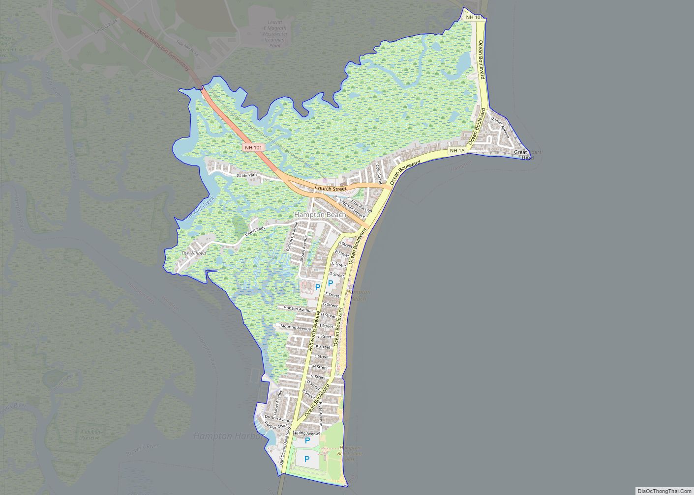
Hampton Beach is a village district, census-designated place, and beach resort in the town of Hampton, New Hampshire, United States, along the Atlantic Ocean. Its population at the 2020 census was 2,598. Hampton Beach is in Rockingham County, about 15 miles (24 km) south of Portsmouth. The community is a popular tourist destination and the busiest ... Read more
New Hampshire Cities and Places
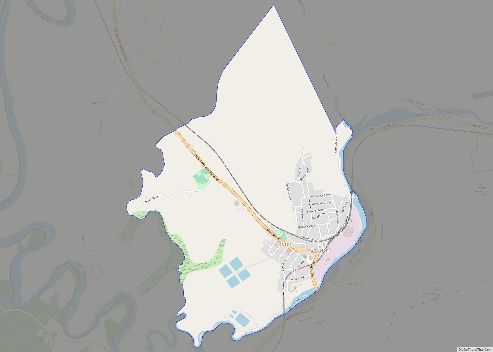
Groveton is a census-designated place (CDP) and the primary village in the town of Northumberland in Coos County, New Hampshire, United States. The population was 1,068 at the 2020 census. It is located at the intersection of U.S. Route 3 and New Hampshire Route 110. The paper mill, which was the primary employer in Groveton, ... Read more
Greenville is a census-designated place (CDP) and the main village in the town of Greenville in Hillsborough County, New Hampshire, United States. The population of the CDP was 1,074 at the 2020 census, out of 1,974 in the entire town. Greenville CDP overview: Name: Greenville CDP LSAD Code: 57 LSAD Description: CDP (suffix) State: New ... Read more
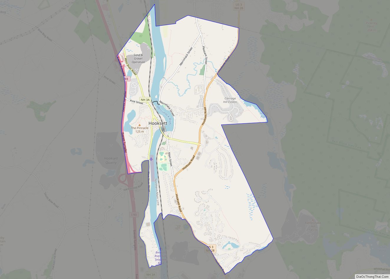
Hooksett is a census-designated place (CDP) in the town of Hooksett in Merrimack County, New Hampshire, United States. The CDP includes the historic central village of Hooksett as well as suburban and rural land surrounding it. The population of the CDP was 5,283 at the 2020 census, out of 14,871 in the entire town. Hooksett ... Read more
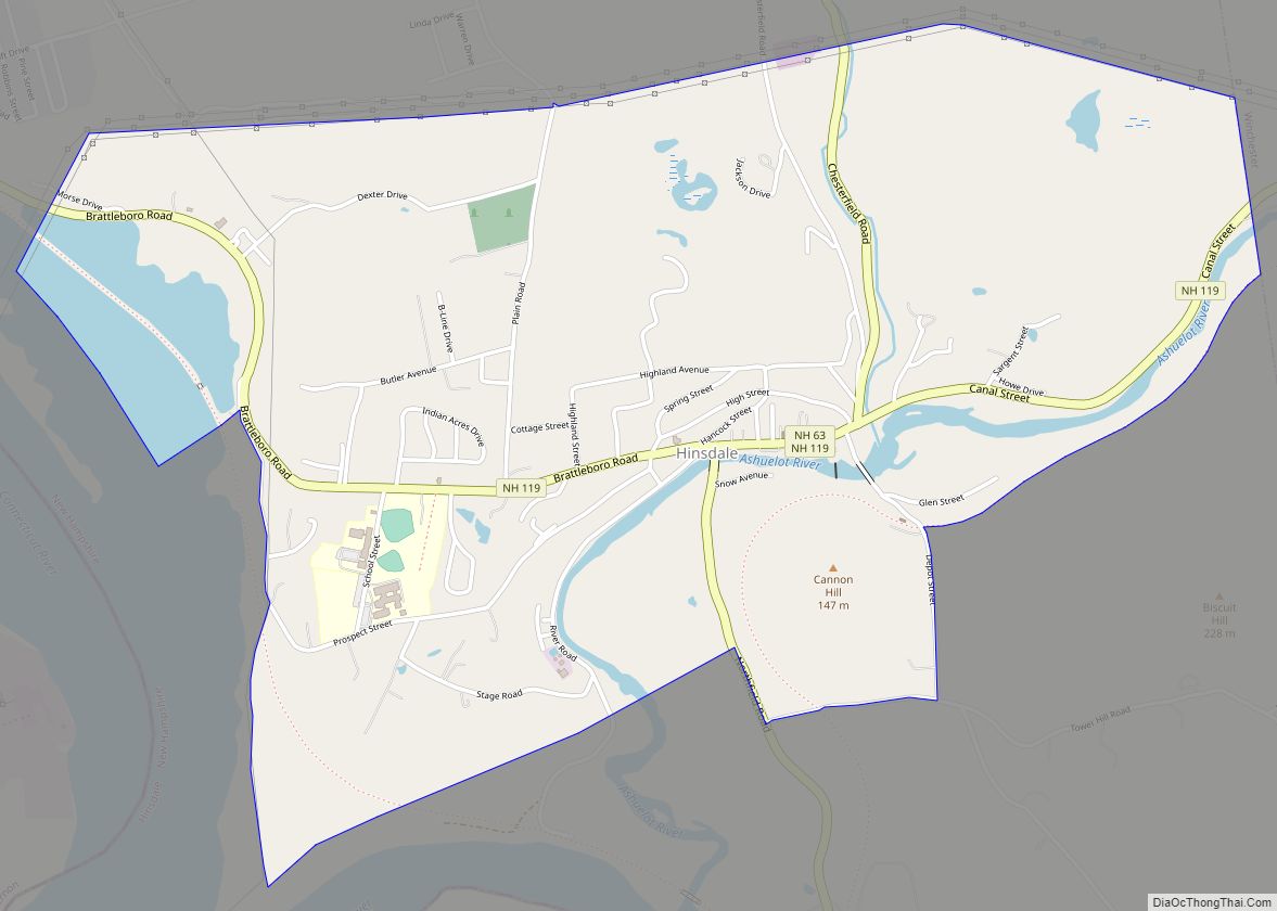
Hinsdale is a census-designated place (CDP) and the main village in the town of Hinsdale in Cheshire County, New Hampshire, United States. The population of the CDP was 1,485 at the 2020 census, out of 3,948 in the entire town of Hinsdale. Hinsdale CDP overview: Name: Hinsdale CDP LSAD Code: 57 LSAD Description: CDP (suffix) ... Read more
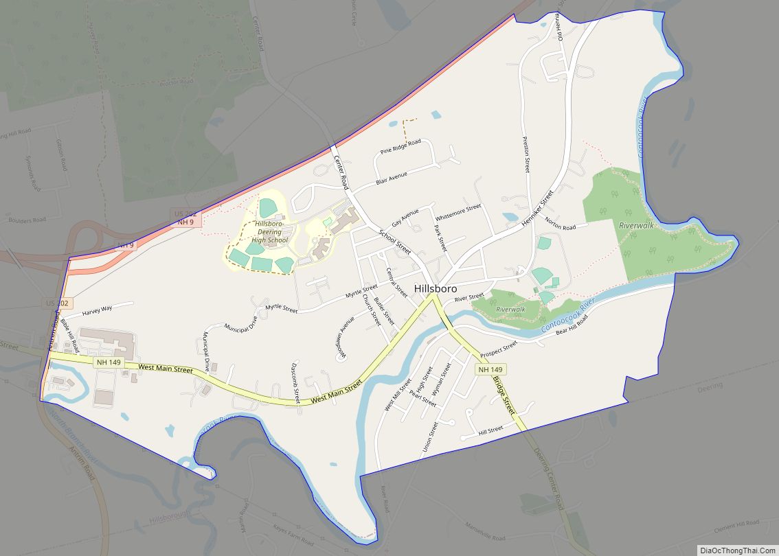
Hillsborough (frequently spelled Hillsboro) is a census-designated place (CDP) and the main village in the town of Hillsborough in Hillsborough County, New Hampshire, United States. The population of the CDP was 2,156 at the 2020 census, out of 5,939 in the entire town. Hillsborough CDP overview: Name: Hillsborough CDP LSAD Code: 57 LSAD Description: CDP ... Read more
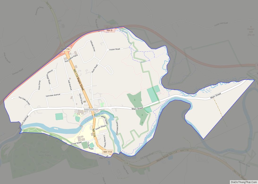
Henniker is a census-designated place (CDP) and the main village in the town of Henniker in Merrimack County, New Hampshire, United States. The population of the CDP was 3,166 at the 2020 census, out of 6,185 in the entire town. The CDP is the home to New England College. Henniker CDP overview: Name: Henniker CDP ... Read more
Hanover is a census-designated place (CDP) and the main village in the town of Hanover in Grafton County, New Hampshire, United States. The population of the CDP was 9,078 at the 2020 census, out of 11,870 in the entire town. The CDP includes the campus of Dartmouth College. Hanover CDP overview: Name: Hanover CDP LSAD ... Read more
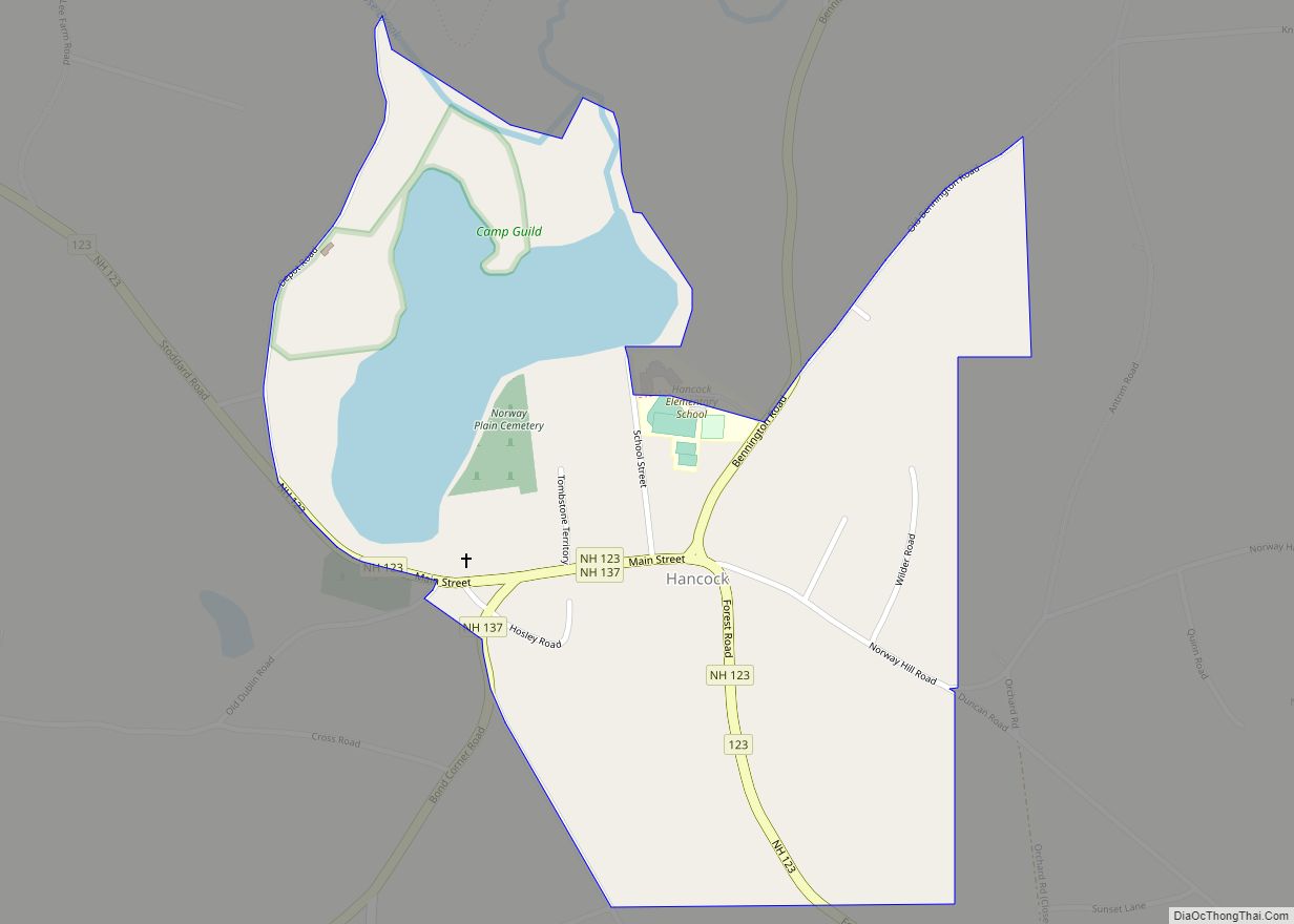
Hancock is a census-designated place (CDP) and the main village in the town of Hancock in Hillsborough County, New Hampshire, United States. The population of the CDP was 213 at the 2020 census, out of 1,731 in the entire town. Hancock CDP overview: Name: Hancock CDP LSAD Code: 57 LSAD Description: CDP (suffix) State: New ... Read more
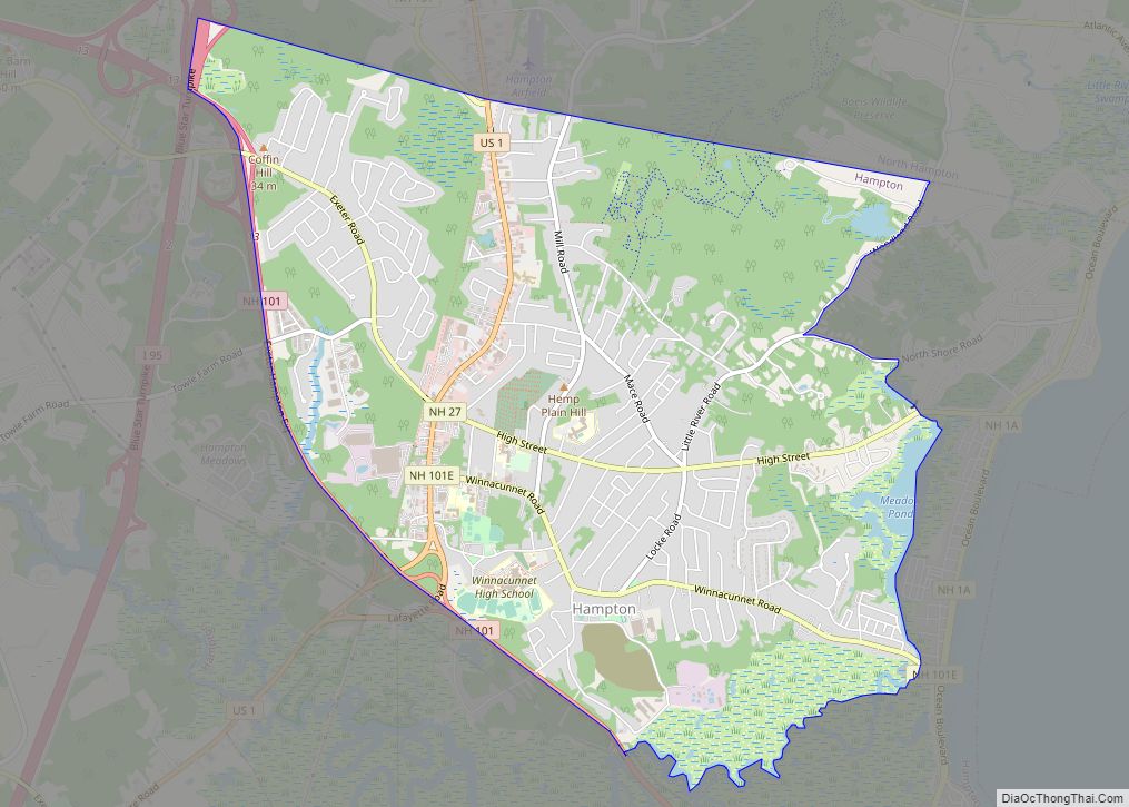
Hampton is a census-designated place (CDP) comprising the town center and surrounding developed areas of the town of Hampton, Rockingham County, New Hampshire, United States. The population of the CDP was 9,597 at the 2020 census, out of 16,214 in the entire town. Hampton CDP overview: Name: Hampton CDP LSAD Code: 57 LSAD Description: CDP ... Read more
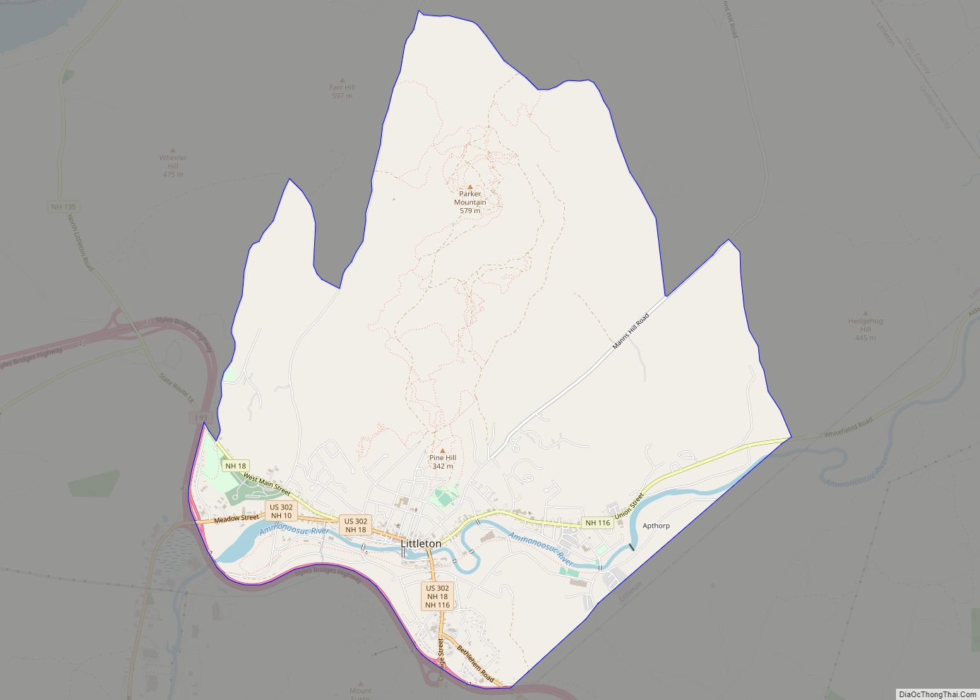
Littleton is a census-designated place (CDP) and the main village in the town of Littleton in Grafton County, New Hampshire, United States. The population of the CDP was 4,467 at the 2020 census, out of 6,005 in the entire town. Littleton CDP overview: Name: Littleton CDP LSAD Code: 57 LSAD Description: CDP (suffix) State: New ... Read more
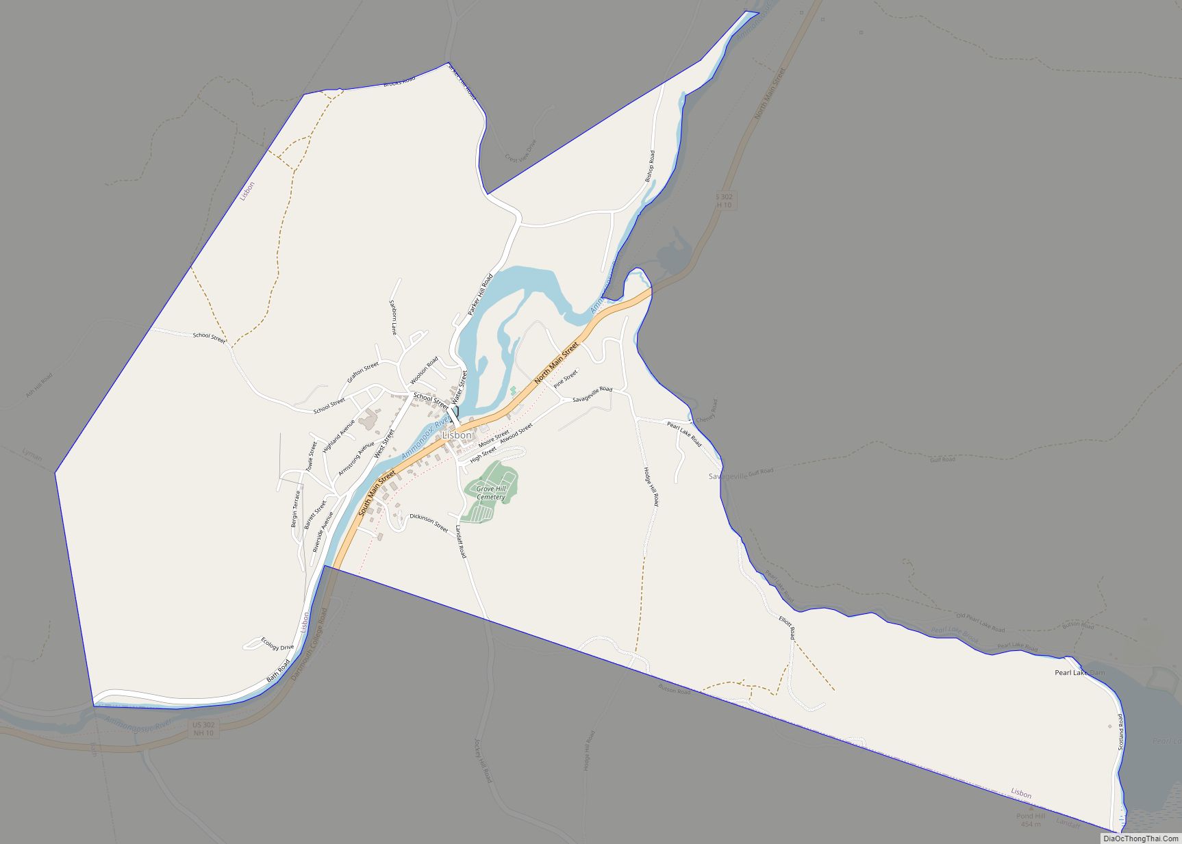
Lisbon is a census-designated place (CDP) and the main village in the town of Lisbon in Grafton County, New Hampshire, United States. The population of the CDP was 965 at the 2020 census, out of 1,621 in the entire town. Lisbon CDP overview: Name: Lisbon CDP LSAD Code: 57 LSAD Description: CDP (suffix) State: New ... Read more
