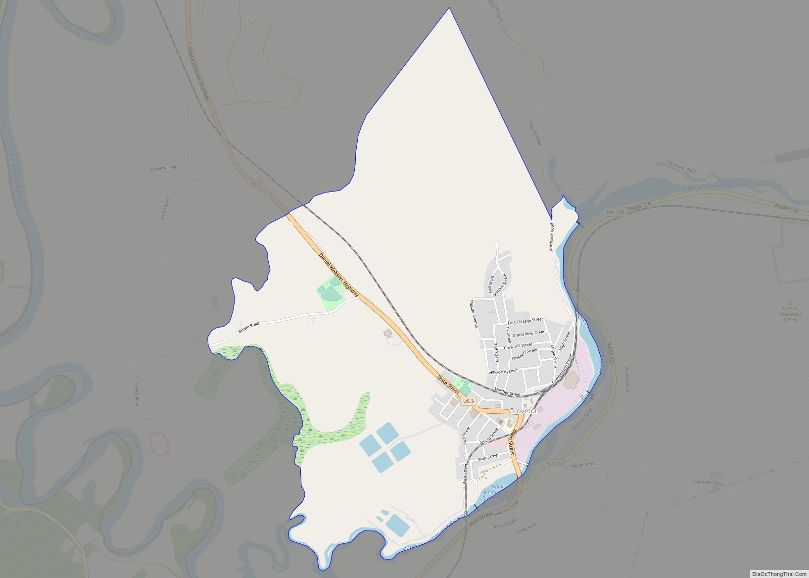
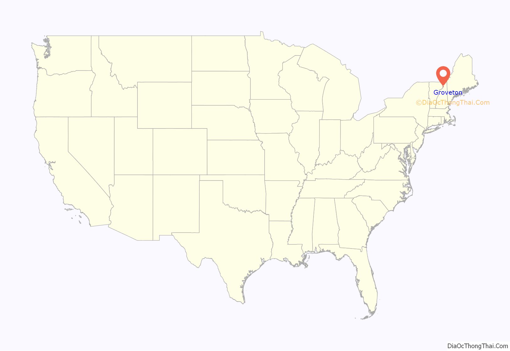
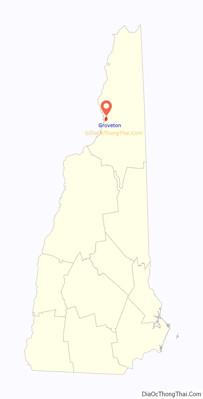
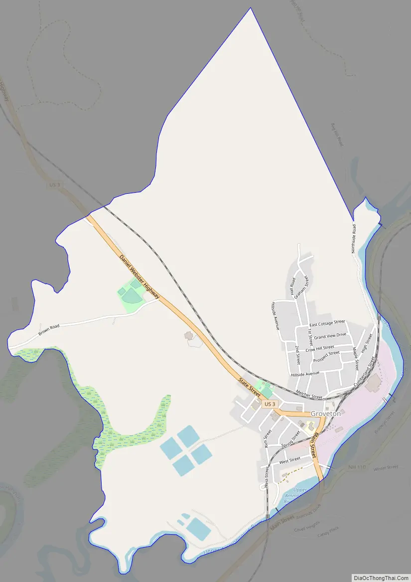
Groveton is a census-designated place (CDP) and the primary village in the town of Northumberland in Coos County, New Hampshire, United States. The population was 1,068 at the 2020 census. It is located at the intersection of U.S. Route 3 and New Hampshire Route 110.
The paper mill, which was the primary employer in Groveton, was closed by Wausau Paper in 2008.
Groveton is part of the Berlin, NH–VT Micropolitan Statistical Area.
| Name: | Groveton CDP |
|---|---|
| LSAD Code: | 57 |
| LSAD Description: | CDP (suffix) |
| State: | New Hampshire |
| County: | Coos County |
| Elevation: | 883 ft (269 m) |
| Total Area: | 2.15 sq mi (5.57 km²) |
| Land Area: | 2.06 sq mi (5.33 km²) |
| Water Area: | 0.09 sq mi (0.23 km²) |
| Total Population: | 1,068 |
| Population Density: | 518.45/sq mi (200.19/km²) |
| ZIP code: | 03582 |
| Area code: | 603 |
| FIPS code: | 3332260 |
| GNISfeature ID: | 0867268 |
Online Interactive Map
Click on ![]() to view map in "full screen" mode.
to view map in "full screen" mode.
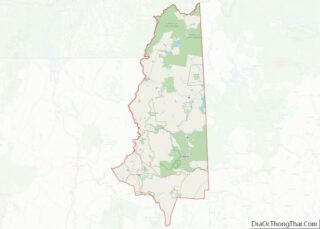
Groveton location map. Where is Groveton CDP?
History
Fort Wentworth
Fort Wentworth was a colonial fort built in 1755 at the junction of the Upper Ammonoosuc River and Connecticut River, in Northumberland, New Hampshire, just downstream from the present site of Groveton.
Paper mill
Diamond International Papers was originally the hub of Groveton. Diamond International was replaced by James River Paper Company, which was followed by Wausau Paper. In 2008 Wausau ceased production in its Groveton mill, which in turn precluded the trains from stopping in Groveton any more. There were plans to turn the mill into a biomass plant, but as of January 2012, plans for buying the mill had fallen through. After an interview with former mill employees, the town of Northumberland decided to demolish the mill for scrap metals. With the price of metals at an all-time high, the town would make more money with the metals than waiting for the mill to sell. Plans for the future site included an LNG plant, which would have brought 80 or so jobs to the North Country. However, the planned development did not materialize.
Hyrdogen power plant
Q Hydrogen, in conjunction with state and local political and development officials, is a developer of hydrogen production technology that is economical at roughly room temperature. The feedstock is water.
Electricity production has begun at the site of the old paper mill, which has been scraped clean of most evidence that the 140-acre (57 ha) facility existed there. From the Concord Monitor:
“When the idea first surfaced a year ago there was talk of building a data center to use the electricity on-site, but that has fallen through. Partly as a result, the power plant has been scaled back from 29 megawatts to 7 megawatts, which has the advantage of sidestepping the lengthy approval process from the state Site Evaluation Committee.”
Steam locomotive
A coal-powered steam locomotive was owned by the Odell Manufacturing Company paper mill for use as a switch engine. Having last seen use in the mid-1960s, it is presently maintained by Wausau Mills and Groveton Paper Board. The community beautification committee “dresses it up” every Christmas and keep it clean.
Riverside Speedway and Adventure Park
In 1964 Riverside Speedway, a 1/4 mile banked oval track, opened in Groveton. In late 2014 the speedway was purchased and underwent a name change. It was sold again in late 2019 and renamed Riverside Speedway and Adventure Park. In the coming years upgrades are planned for the facility to be a four-season event location, including ATV/UTV and other off-road events as well as snow machine racing. It features weekly racing series and is a popular venue in local auto racing.
The Early Show
Groveton was featured on The Early Show on January 5, 2012. It was a story on the mill and featured Karen Brown of The Early Show and Roger Caron.
Groveton Road Map
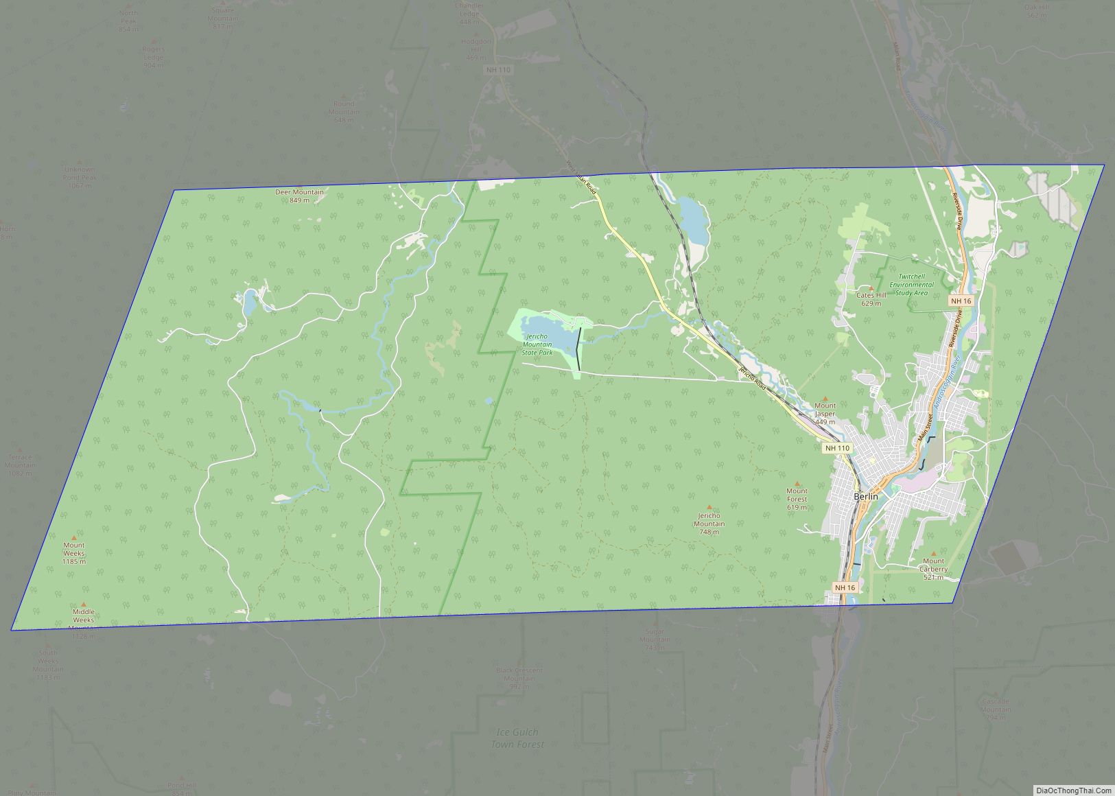
Groveton city Satellite Map

Geography
Groveton is located in the northern part of the town of Northumberland in western Coos County at 44°36′3″N 71°30′49″W / 44.60083°N 71.51361°W / 44.60083; -71.51361 (44.600868, -71.513525). It lies on the northwest side of the Upper Ammonoosuc River about a mile east of the river’s mouth at the Connecticut River, which forms the New Hampshire/Vermont border.
U.S. Route 3 passes through Groveton, leading north 26 miles (42 km) to Colebrook and south 10 miles (16 km) to Lancaster, the Coos County seat. New Hampshire Route 110 branches east from US 3 on the south edge of Groveton and leads east then southeast 26 miles (42 km) to Berlin.
According to the United States Census Bureau, the Groveton CDP has a total area of 2.15 square miles (5.57 km), of which 2.06 square miles (5.33 km) are land and 0.089 square miles (0.23 km), or 4.16%, are water.
See also
Map of New Hampshire State and its subdivision: Map of other states:- Alabama
- Alaska
- Arizona
- Arkansas
- California
- Colorado
- Connecticut
- Delaware
- District of Columbia
- Florida
- Georgia
- Hawaii
- Idaho
- Illinois
- Indiana
- Iowa
- Kansas
- Kentucky
- Louisiana
- Maine
- Maryland
- Massachusetts
- Michigan
- Minnesota
- Mississippi
- Missouri
- Montana
- Nebraska
- Nevada
- New Hampshire
- New Jersey
- New Mexico
- New York
- North Carolina
- North Dakota
- Ohio
- Oklahoma
- Oregon
- Pennsylvania
- Rhode Island
- South Carolina
- South Dakota
- Tennessee
- Texas
- Utah
- Vermont
- Virginia
- Washington
- West Virginia
- Wisconsin
- Wyoming