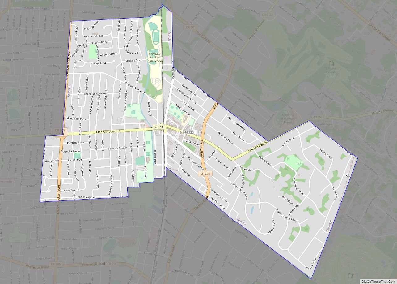
Cresskill is a borough in Bergen County, in the U.S. state of New Jersey. As of the 2020 United States census, the borough’s population was 9,155, an increase of 582 (+6.8%) from the 2010 census count of 8,573, which in turn reflected an increase of 827 (+10.7%) from the 7,746 counted in the 2000 census. ... Read more
New Jersey Cities and Places
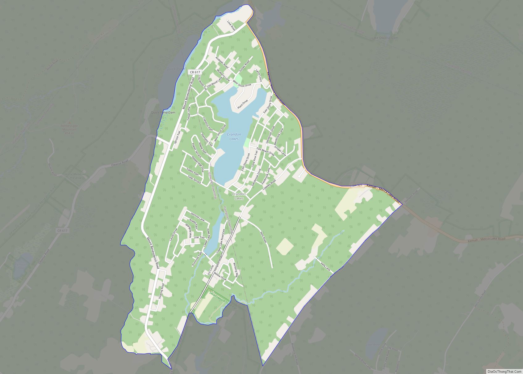
Crandon Lakes is an unincorporated community and census-designated place (CDP) split between Hampton Township and Stillwater Township, in Sussex County, New Jersey, United States. As of the 2010 United States Census, the CDP’s population was 1,178, of which 682 were in Hampton Township and 496 in Stillwater Township. Crandon Lakes CDP overview: Name: Crandon Lakes ... Read more
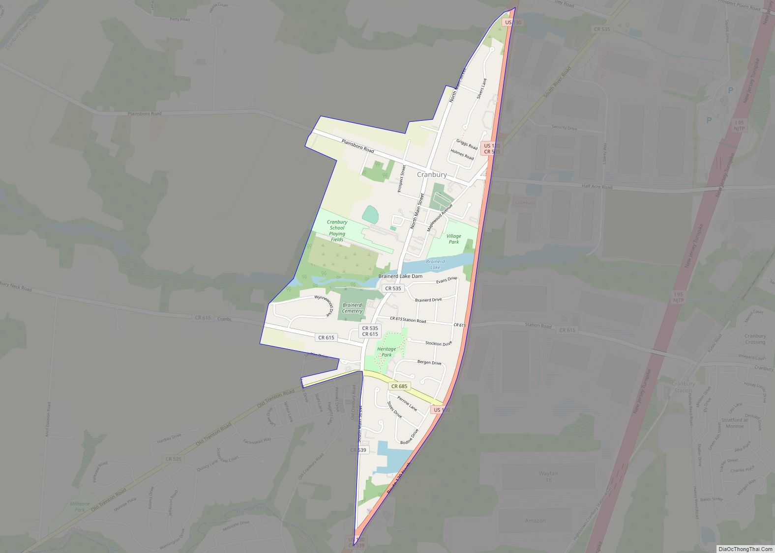
Cranbury is an unincorporated community and census-designated place (CDP) located within Cranbury Township, in Middlesex County, New Jersey, United States. As of the 2010 United States Census, the CDP’s population was 2,181. Despite the similarity in the name of Cranbury Township and the CDP, the two are not one and the same, as had been ... Read more
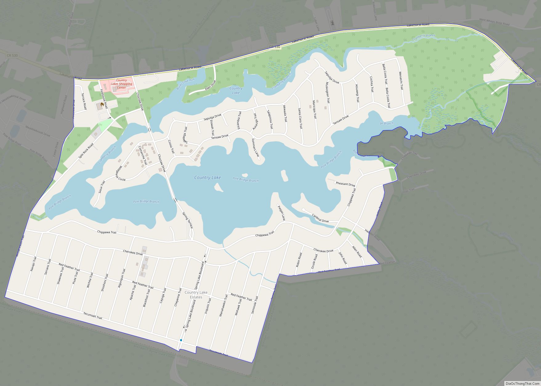
Country Lake Estates is an unincorporated community and census-designated place (CDP) located within Pemberton Township, in Burlington County, New Jersey, United States. As of the 2010 United States Census, the CDP’s population was 3,943. Country Lake Estates CDP overview: Name: Country Lake Estates CDP LSAD Code: 57 LSAD Description: CDP (suffix) State: New Jersey County: ... Read more
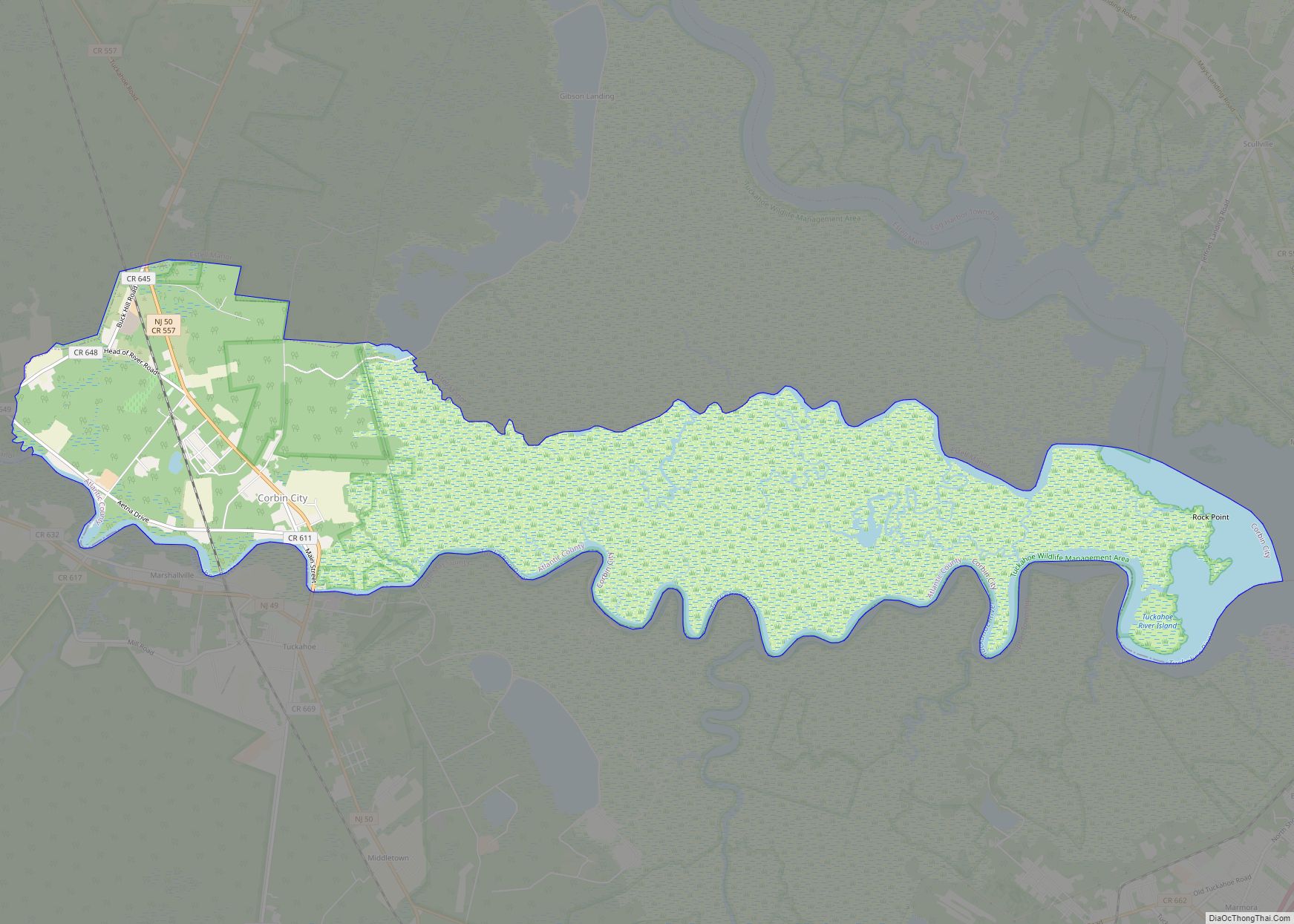
Corbin City is a city in Atlantic County, in the U.S. state of New Jersey. The city, and all of Atlantic County, is part of the Atlantic City–Hammonton metropolitan statistical area, which in turn is included in the Philadelphia–Reading–Camden combined statistical area and the Delaware Valley. As of the 2020 United States Census, the city’s ... Read more
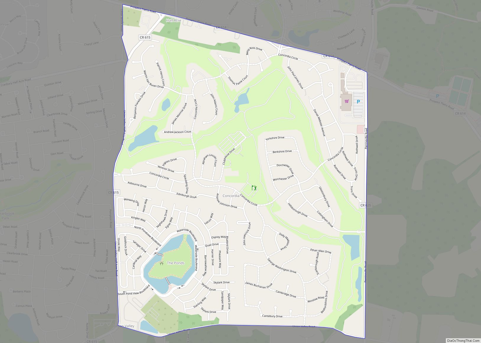
Concordia is an unincorporated community and census-designated place (CDP) located within Monroe Township, in Middlesex County, New Jersey, United States. The CDP is oriented around the age restricted gated community of Concordia. As of the 2010 United States Census, the CDP’s population was 3,092. Concordia CDP overview: Name: Concordia CDP LSAD Code: 57 LSAD Description: ... Read more
Columbia is an unincorporated community and census-designated place (CDP) located within Knowlton Township in Warren County, New Jersey, United States. While the community has existed for over a century, the CDP was created as part of the 2010 United States Census. As of the 2010 Census, the CDP’s population was 229. The area is served ... Read more
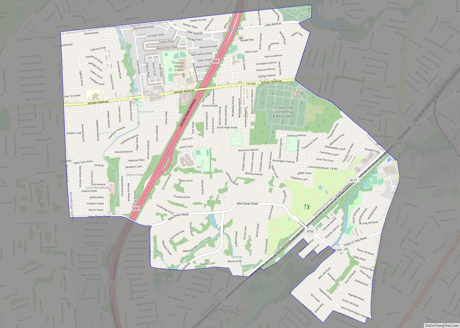
Colonia is an unincorporated community and census-designated place (CDP) located within Woodbridge Township, in Middlesex County, New Jersey, United States. As of the 2010 United States Census, the CDP’s population was 17,795. In 1919, the New Jersey State Highway Commission built a new road that became part of the Lincoln Highway, an early plan to ... Read more
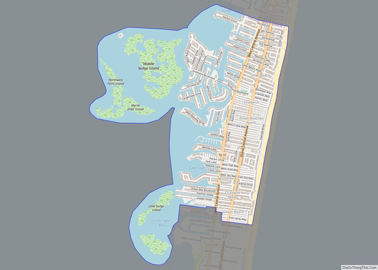
Dover Beaches North is an unincorporated community and census-designated place (CDP) located within Toms River, in Ocean County, New Jersey, United States. As of the 2010 United States Census, the CDP’s population was 1,239. The CDP includes the communities of Ocean Beaches 1, 2 and 3, Chadwick Beach, Chadwick Island, Seacrest Beach, Monterey Beach, Silver ... Read more
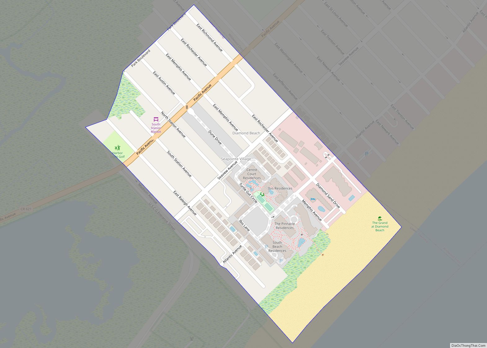
Diamond Beach is an unincorporated community and census-designated place (CDP) located within Lower Township in Cape May County, New Jersey, United States. The CDP, and all of Cape May County, is part of the Ocean City metropolitan statistical area, and is part of the Philadelphia–Wilmington–Camden, PA-NJ-DE–MD combined statistical area, also known as the Delaware Valley ... Read more
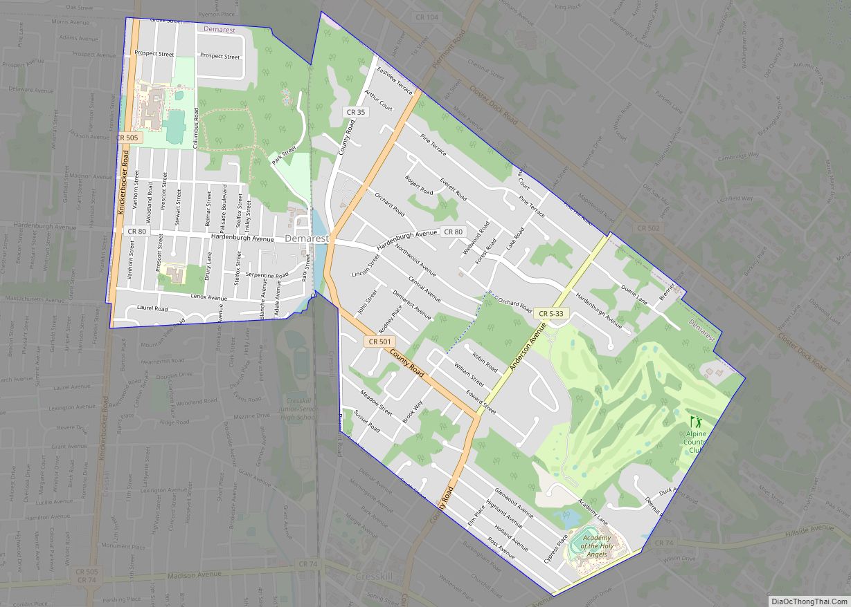
Demarest is a borough in Bergen County, in the U.S. state of New Jersey. As of the 2020 United States census, the borough’s population was 4,981, an increase of 100 (+2.0%) from the 2010 census count of 4,881, which in turn reflected an increase of 36 (+0.7%) from the 4,845 counted in the 2000 census. ... Read more
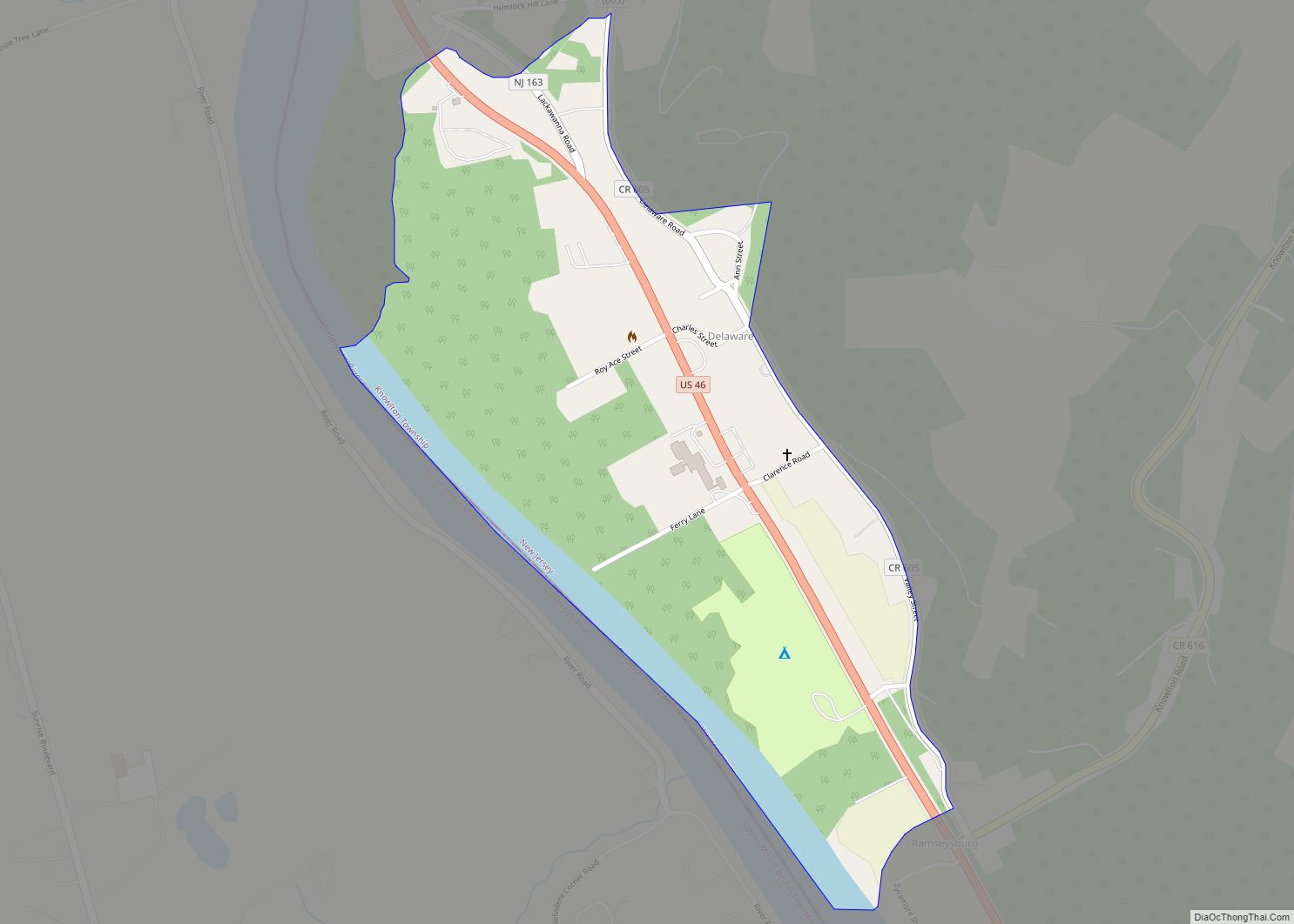
Delaware (also known as Delaware Station) is an unincorporated community and census-designated place (CDP) located along the Delaware River within Knowlton Township in Warren County, New Jersey. It was created as part of the 2010 United States Census. As of the 2010 Census, the CDP’s population was 150. The area is served as United States ... Read more
