Cresskill is a borough in Bergen County, in the U.S. state of New Jersey. As of the 2020 United States census, the borough’s population was 9,155, an increase of 582 (+6.8%) from the 2010 census count of 8,573, which in turn reflected an increase of 827 (+10.7%) from the 7,746 counted in the 2000 census. This town got its name from “Cress”, referring to the watercress that grew in its streams, and “Kill”, referring to the stream passing through.
| Name: | Cresskill borough |
|---|---|
| LSAD Code: | 21 |
| LSAD Description: | borough (suffix) |
| State: | New Jersey |
| County: | Bergen County |
| Incorporated: | May 8, 1894 |
| Elevation: | 46 ft (14 m) |
| Total Area: | 2.07 sq mi (5.36 km²) |
| Land Area: | 2.06 sq mi (5.35 km²) |
| Water Area: | 0.01 sq mi (0.01 km²) 0.24% |
| Total Population: | 9,155 |
| Population Density: | 4,433.4/sq mi (1,711.7/km²) |
| ZIP code: | 07626 |
| Area code: | 201 |
| FIPS code: | 3415820 |
| GNISfeature ID: | 0875723 |
| Website: | www.cresskillboro.com |
Online Interactive Map
Click on ![]() to view map in "full screen" mode.
to view map in "full screen" mode.
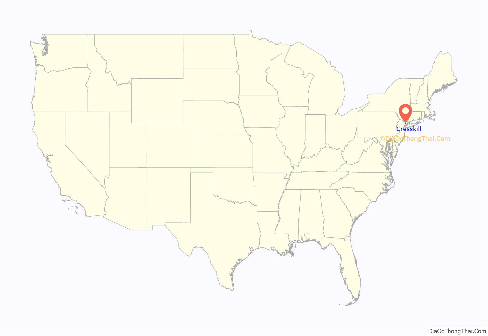
Cresskill location map. Where is Cresskill borough?

History
Cresskill was incorporated as a borough by an act of the New Jersey Legislature on May 8, 1894, from portions of Palisades Township. The borough was formed during the “Boroughitis” phenomenon then sweeping through Bergen County, in which 26 boroughs were formed in the county in 1894 alone. A portion of the borough was annexed by Alpine in 1904.
Railroads provided access from Cresskill to customers in New York City, including a chicken hatchery that was the world’s largest by 1897. Railroad access established the former Camp Merritt as a major debarkation point for more than a million American troops being sent abroad to fight in World War I. To commemorate the fact, a large obelisk memorial (referred to by locals as “The Monument”), or “The Circle Monument” was dedicated in 1924, set in the center of the Camp Merritt Memorial Circle at the intersection of Madison Avenue and Knickerbocker Road (CR 505).
Historic sites
Sites in the borough listed on the National Register of Historic Places include:
- Blackledge-Gair House (at 111 Madison Avenue; added January 9, 1983)
- Demarest-Atwood House (at 84 Jefferson Avenue; added July 24, 1984)
- Peter Huyler House (50 County Road; added January 9, 1983)
- Benjamin P. Westervelt House (at 235 County Road; added January 9, 1983)
Cresskill Road Map
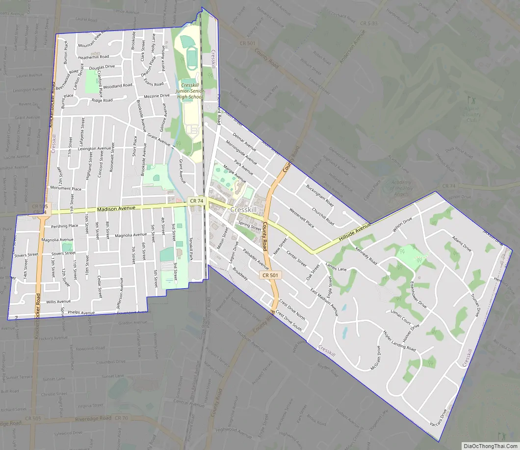
Cresskill city Satellite Map

Geography
According to the United States Census Bureau, the borough had a total area of 2.07 square miles (5.36 km), including 2.07 square miles (5.35 km) of land and 0.01 square miles (0.01 km) of water (0.24%).
It rests on land originally inhabited by the Munsee-Delaware.
The borough, a suburb of New York City, borders the Bergen County municipalities of Alpine, Bergenfield, Demarest, Dumont and Tenafly.
See also
Map of New Jersey State and its subdivision: Map of other states:- Alabama
- Alaska
- Arizona
- Arkansas
- California
- Colorado
- Connecticut
- Delaware
- District of Columbia
- Florida
- Georgia
- Hawaii
- Idaho
- Illinois
- Indiana
- Iowa
- Kansas
- Kentucky
- Louisiana
- Maine
- Maryland
- Massachusetts
- Michigan
- Minnesota
- Mississippi
- Missouri
- Montana
- Nebraska
- Nevada
- New Hampshire
- New Jersey
- New Mexico
- New York
- North Carolina
- North Dakota
- Ohio
- Oklahoma
- Oregon
- Pennsylvania
- Rhode Island
- South Carolina
- South Dakota
- Tennessee
- Texas
- Utah
- Vermont
- Virginia
- Washington
- West Virginia
- Wisconsin
- Wyoming


