Demarest is a borough in Bergen County, in the U.S. state of New Jersey. As of the 2020 United States census, the borough’s population was 4,981, an increase of 100 (+2.0%) from the 2010 census count of 4,881, which in turn reflected an increase of 36 (+0.7%) from the 4,845 counted in the 2000 census. Located in the northeastern corner of New Jersey and its Gateway Region, Demarest is part of the New York City Metropolitan Area.
Demarest was formed by an act of the New Jersey Legislature on April 8, 1903, from portions of Harrington Township and Palisades Township. The borough was named for the Demarest family and for the Demarest train station, which had in turn been named for Ralph S. Demarest, who was a director of the Northern Railroad of New Jersey that built the station and represented the area in both the New Jersey General Assembly and the New Jersey Senate in the mid-19th century.
| Name: | Demarest borough |
|---|---|
| LSAD Code: | 21 |
| LSAD Description: | borough (suffix) |
| State: | New Jersey |
| County: | Bergen County |
| Incorporated: | April 8, 1903 |
| Elevation: | 52 ft (16 m) |
| Total Area: | 2.08 sq mi (5.38 km²) |
| Land Area: | 2.07 sq mi (5.37 km²) |
| Water Area: | 0.01 sq mi (0.02 km²) 0.34% |
| Total Population: | 4,981 |
| Population Density: | 2,403.4/sq mi (928.0/km²) |
| ZIP code: | 07627 |
| Area code: | 201 exchanges: 750, 767, 768, 784 |
| FIPS code: | 3417530 |
| GNISfeature ID: | 0885195 |
| Website: | www.demarestnj.org |
Online Interactive Map
Click on ![]() to view map in "full screen" mode.
to view map in "full screen" mode.
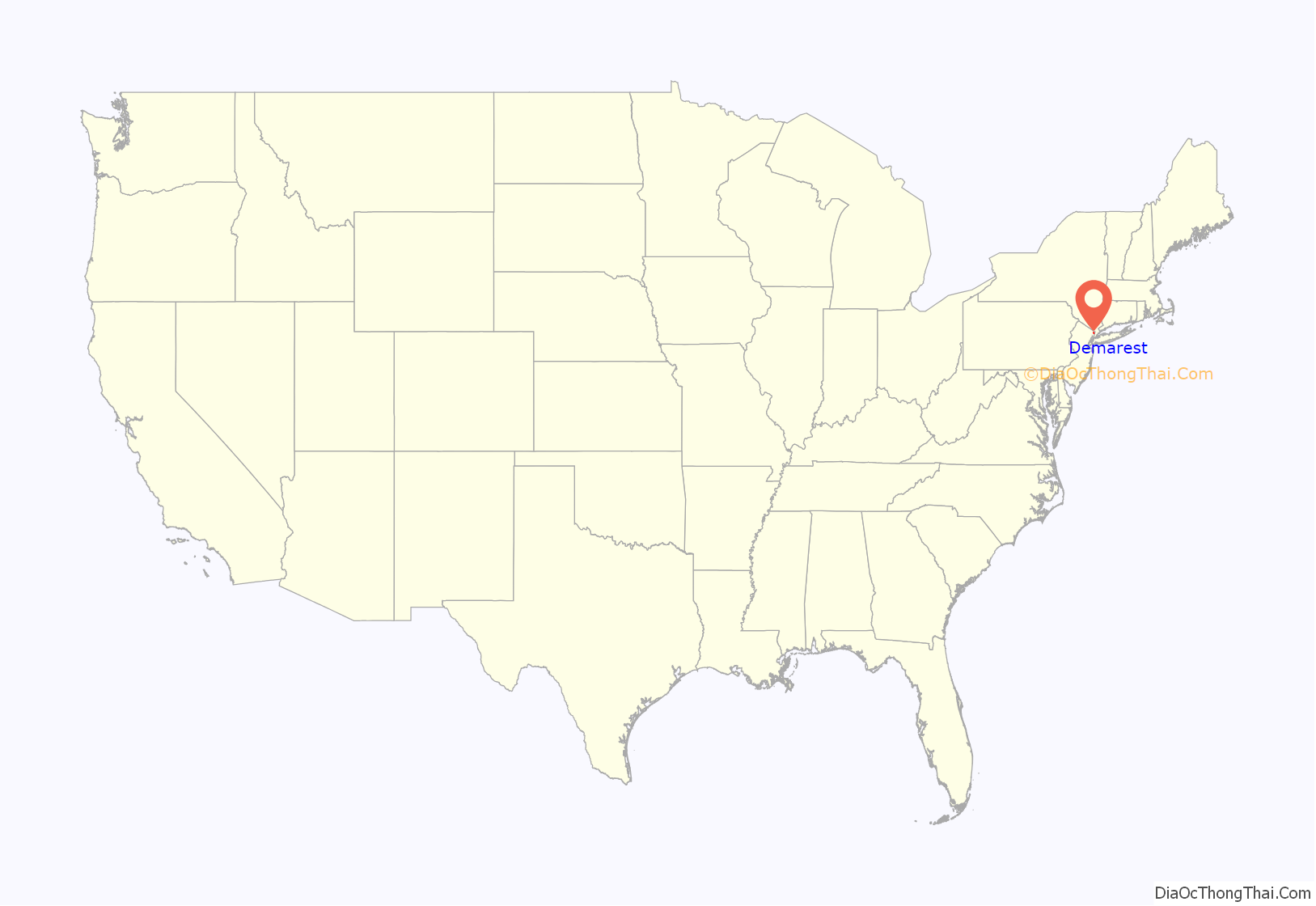
Demarest location map. Where is Demarest borough?
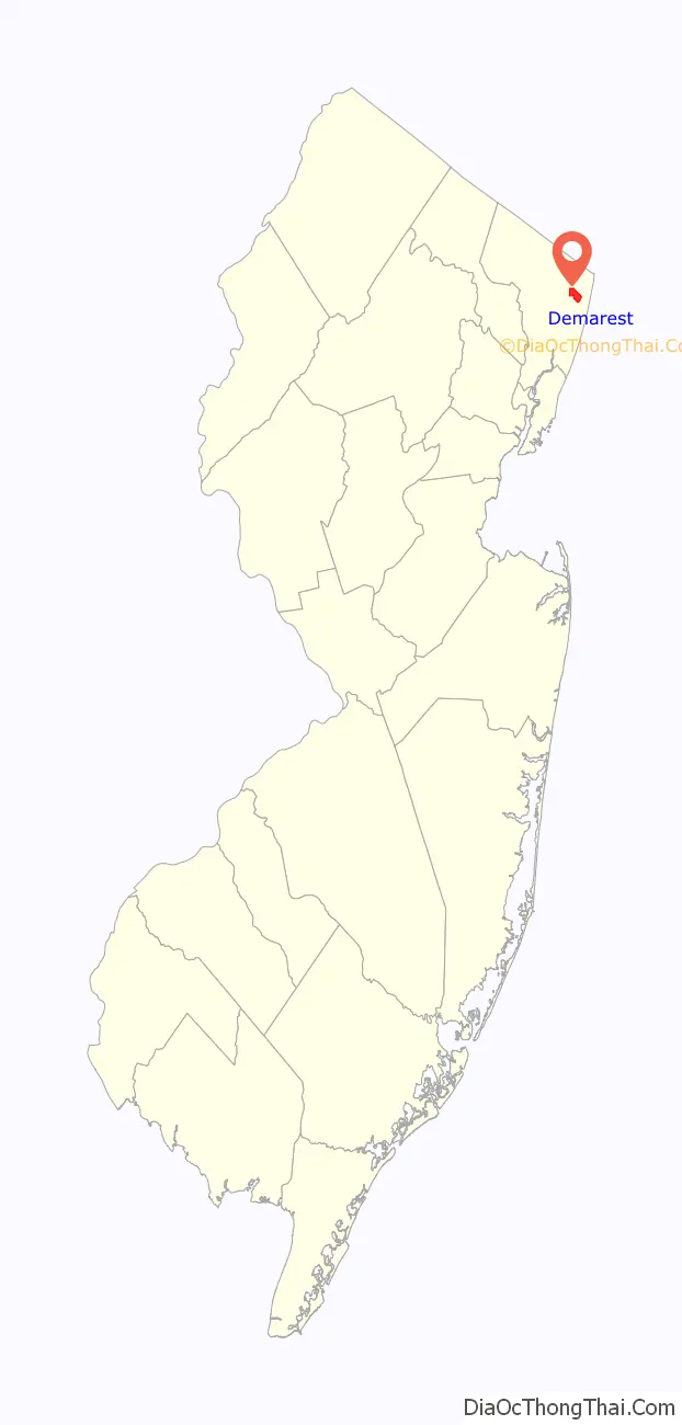
Demarest Road Map

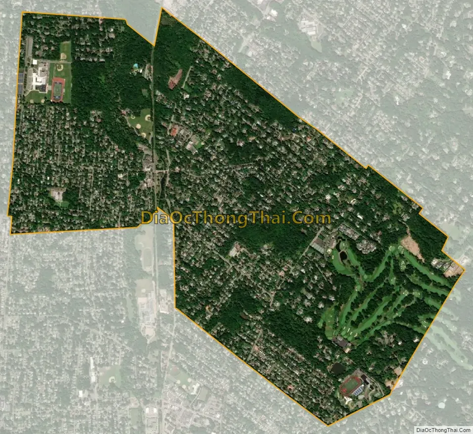
Demarest city Satellite Map
Geography
According to the United States Census Bureau, the borough had a total area of 2.08 square miles (5.38 km), including 2.07 square miles (5.37 km) of land and 0.01 square miles (0.02 km) of water (0.34%).
At the heart of Demarest is an area known as the Duck Pond, which is a section of the Tenakill Brook.
The borough borders the Bergen County municipalities of Alpine, Closter, Cresskill, Dumont and Haworth.
See also
Map of New Jersey State and its subdivision: Map of other states:- Alabama
- Alaska
- Arizona
- Arkansas
- California
- Colorado
- Connecticut
- Delaware
- District of Columbia
- Florida
- Georgia
- Hawaii
- Idaho
- Illinois
- Indiana
- Iowa
- Kansas
- Kentucky
- Louisiana
- Maine
- Maryland
- Massachusetts
- Michigan
- Minnesota
- Mississippi
- Missouri
- Montana
- Nebraska
- Nevada
- New Hampshire
- New Jersey
- New Mexico
- New York
- North Carolina
- North Dakota
- Ohio
- Oklahoma
- Oregon
- Pennsylvania
- Rhode Island
- South Carolina
- South Dakota
- Tennessee
- Texas
- Utah
- Vermont
- Virginia
- Washington
- West Virginia
- Wisconsin
- Wyoming


