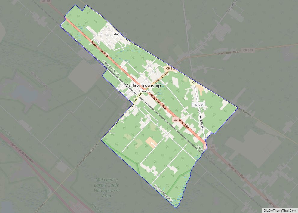
Map of Egg Harbor City city

Map of Egg Harbor City

Egg Harbor City is a city in Atlantic County, in the U.S. state of New Jersey. The city, and all of Atlantic County, is part of the Atlantic City–Hammonton metropolitan statistical area, which in turn is included in the Philadelphia–Reading–Camden combined statistical area and the Delaware Valley. As of the 2020 United States census, the … Read more

Map of Edgewater borough, New Jersey

Map of Edgewater borough, New Jersey

Edgewater is a borough located along the Hudson River in Bergen County, in the U.S. state of New Jersey. As of the 2020 United States census, the borough’s population was 14,336, an increase of 2,823 (+24.5%) from the 2010 census count of 11,513, which in turn reflected an increase of 3,836 (+50.0%) from the 7,677 … Read more

Map of Fairton CDP

Map of Fairton CDP

Fairton is an unincorporated community and census-designated place (CDP) located within Fairfield Township, in Cumberland County, in the U.S. state of New Jersey. It is part of the Vineland–Millville–Bridgeton Primary Metropolitan Statistical Area for statistical purposes. As of the 2010 United States Census, the CDP’s population was 1,264. Fairton CDP overview: Name: Fairton CDP LSAD … Read more

Map of Fair Lawn borough

Map of Fair Lawn borough

Fair Lawn is a borough in Bergen County, in the U.S. state of New Jersey, and a bedroom suburb located 12 miles (19 km) northwest of New York City. As of the 2020 United States census, the borough’s population was 34,927, an increase of 2,470 (+7.6%) from the 2010 census count of 32,457, which in turn … Read more

Map of Fair Haven borough

Map of Fair Haven borough, New Jersey

Fair Haven is a borough situated in the Jersey Shore region within Monmouth County, in the U.S. state of New Jersey, in the New York metropolitan area. Fair Haven is located on the Rumson peninsula along the Navesink River and is bordered by Red Bank and Little Silver to the west. As of the 2020 … Read more

Map of Estell Manor city

Map of Estell Manor city

Estell Manor is a city in Atlantic County, in the U.S. state of New Jersey. Geographically, the city, and all of Atlantic County, is part of the South Jersey region and of the Atlantic City–Hammonton metropolitan statistical area, which in turn is included in the Philadelphia–Reading–Camden combined statistical area and the Delaware Valley. As of … Read more

Map of Essex Fells borough

Map of Essex Fells borough

Essex Fells is a borough in Essex County, in the U.S. state of New Jersey. As of the 2020 United States census, the borough’s population was 2,244, an increase of 131 (+6.2%) from the 2010 census count of 2,113, which in turn reflected a decline of 49 (−2.3%) from the 2,162 counted in the 2000 … Read more

Map of Erma CDP

Map of Erma CDP

Erma is an unincorporated community and census-designated place (CDP) located within Lower Township in Cape May County, New Jersey, United States. As of the 2020 United States census, the CDP’s population was 2,031, a decline of 103 from the 2010 census count of 2,134. Erma CDP overview: Name: Erma CDP LSAD Code: 57 LSAD Description: … Read more

Map of Farmingdale borough, New Jersey

Map of Farmingdale borough, New Jersey

Farmingdale is a borough in Monmouth County, in the U.S. state of New Jersey. As of the 2020 United States census, the borough’s population was 1,504, an increase of 175 (+13.2%) from the 2010 census count of 1,329, which in turn reflected a decline of 258 (−16.3%) from the 1,587 counted at the 2000 census. … Read more

Map of Far Hills borough

Map of Far Hills borough

Far Hills is a borough in Somerset County in the U.S. state of New Jersey. As of the 2020 United States census, the borough’s population was 924, an increase of 5 (+0.5%) from the 2010 census count of 919, which in turn reflected an increase of 60 (+7.0%) from the 859 counted in the 2000 … Read more

Map of Fanwood borough

Map of Fanwood borough

Fanwood is a borough in Union County, in the U.S. state of New Jersey. As of the 2020 United States census, the borough’s population was 7,774, an increase of 456 (+6.2%) from the 2010 census count of 7,318, which in turn reflected an increase of 144 (+2.0%) from the 7,174 counted in the 2000 census. … Read more

Map of Fairview CDP, New Jersey

Map of Fairview CDP, New Jersey

Fairview is an unincorporated community and census-designated place (CDP) located within Middletown Township, in Monmouth County, New Jersey, United States. As of the 2010 United States Census, the CDP’s population was 3,806. Fairview CDP overview: Name: Fairview CDP LSAD Code: 57 LSAD Description: CDP (suffix) State: New Jersey County: Monmouth County Elevation: 46 ft (14 m) Total … Read more