Elmwood Park is a borough in Bergen County, in the U.S. state of New Jersey, and is a bedroom suburb located 14 miles (23 km) from New York City. As of the 2020 United States census, the borough’s population was 21,422, an increase of 2,019 (+10.4%) from the 2010 census count of 19,403, which in turn reflected an increase of 478 (+2.5%) from the 18,925 counted in the 2000 census.
Prior to 1916, the area was known as Dundee Lake, a section of Saddle River Township. Residents of the Dundee Lake area voted on April 18, 1916, to secede from Saddle River Township to form the Borough of East Paterson. In 1917, residents of the Rosemont section of Saddle River Township voted to be annexed to East Paterson. In November 1972, residents voted to change the name of the borough to Elmwood Park. The new name became official on January 1, 1973.
Elmwood Park, being located in Bergen County, has strict blue laws, which require most businesses to be closed on Sunday.
| Name: | Elmwood Park borough |
|---|---|
| LSAD Code: | 21 |
| LSAD Description: | borough (suffix) |
| State: | New Jersey |
| County: | Bergen County |
| Incorporated: | April 18, 1916 (as East Paterson) |
| Elevation: | 46 ft (14 m) |
| Total Area: | 2.72 sq mi (7.06 km²) |
| Land Area: | 2.64 sq mi (6.85 km²) |
| Water Area: | 0.08 sq mi (0.21 km²) 3.00% |
| Total Population: | 21,422 |
| Population Density: | 8,105.2/sq mi (3,129.4/km²) |
| ZIP code: | 07407 |
| Area code: | 201 |
| FIPS code: | 3421300 |
| GNISfeature ID: | 0885207 |
| Website: | www.elmwoodparknj.us |
Online Interactive Map
Click on ![]() to view map in "full screen" mode.
to view map in "full screen" mode.
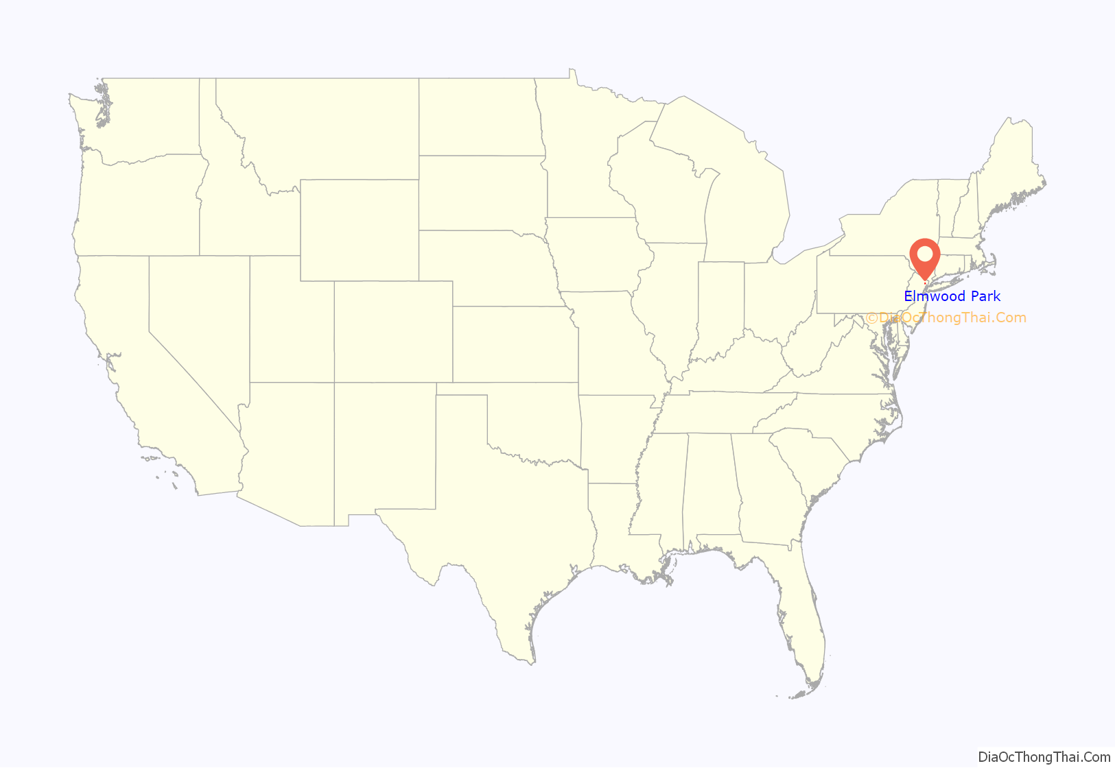
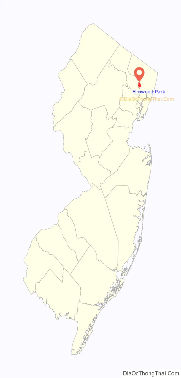
Elmwood Park location map. Where is Elmwood Park borough?
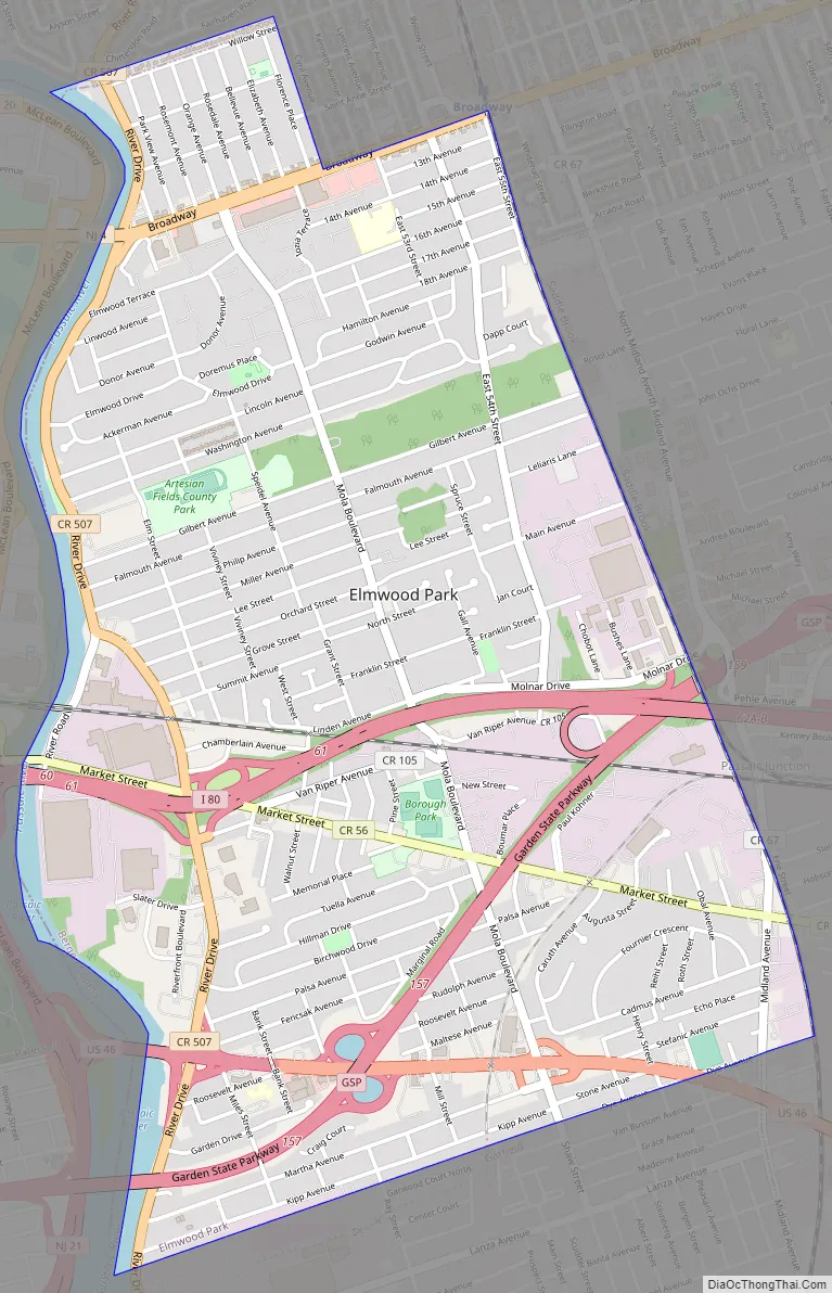
Elmwood Park Road Map
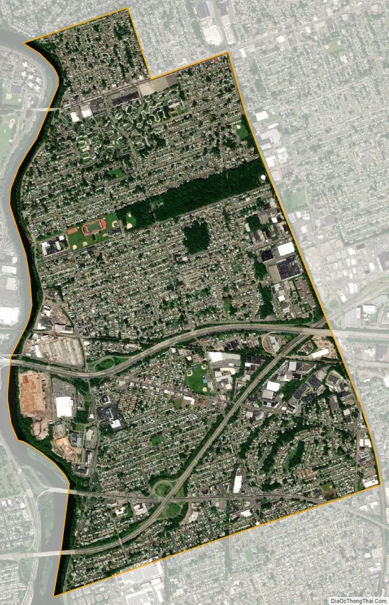
Elmwood Park city Satellite Map
Geography
According to the United States Census Bureau, the borough had a total area of 2.73 square miles (7.06 km), including 2.64 square miles (6.85 km) of land and 0.08 square miles (0.21 km) of water (3.00%).
The borough borders Paterson and Clifton in Passaic County across the Passaic River to the West; Fair Lawn to the North and East; Saddle Brook to the East; and Garfield to the South (the latter three municipalities in Bergen County). A trip clockwise along the border from the Northwest corner runs from the middle of the Passaic River ENE along Willow Street, SSE along Cyril Avenue, ENE along New Jersey Route 4 (Broadway), SSE along the Bergen County Line, WSW along the extension of Rosario Court from Saddle Brook, continuing WSW along Dye Ave. and between Garwood Court North and Kipp Avenue, and N along the middle of the Passaic River.
Unincorporated communities, localities and place names within the borough include Cherry Hill, Dundee Lake, Passaic Junction and Rosemont.
See also
Map of New Jersey State and its subdivision: Map of other states:- Alabama
- Alaska
- Arizona
- Arkansas
- California
- Colorado
- Connecticut
- Delaware
- District of Columbia
- Florida
- Georgia
- Hawaii
- Idaho
- Illinois
- Indiana
- Iowa
- Kansas
- Kentucky
- Louisiana
- Maine
- Maryland
- Massachusetts
- Michigan
- Minnesota
- Mississippi
- Missouri
- Montana
- Nebraska
- Nevada
- New Hampshire
- New Jersey
- New Mexico
- New York
- North Carolina
- North Dakota
- Ohio
- Oklahoma
- Oregon
- Pennsylvania
- Rhode Island
- South Carolina
- South Dakota
- Tennessee
- Texas
- Utah
- Vermont
- Virginia
- Washington
- West Virginia
- Wisconsin
- Wyoming


