Estell Manor is a city in Atlantic County, in the U.S. state of New Jersey. Geographically, the city, and all of Atlantic County, is part of the South Jersey region and of the Atlantic City–Hammonton metropolitan statistical area, which in turn is included in the Philadelphia–Reading–Camden combined statistical area and the Delaware Valley.
As of the 2020 United States census, the city’s population was 1,668, a decrease of 67 (−3.9%) from the 2010 census count of 1,735, which in turn reflected an increase of 150 (+9.5%) from the 1,585 counted in the 2000 census.
Estell Manor was incorporated as a city by an act of the New Jersey Legislature on March 14, 1925, from portions of Weymouth Township.
| Name: | Estell Manor city |
|---|---|
| LSAD Code: | 25 |
| LSAD Description: | city (suffix) |
| State: | New Jersey |
| County: | Atlantic County |
| Incorporated: | March 14, 1925 |
| Elevation: | 39 ft (12 m) |
| Total Area: | 55.18 sq mi (142.93 km²) |
| Land Area: | 53.39 sq mi (138.27 km²) |
| Water Area: | 1.80 sq mi (4.65 km²) 3.26% |
| Total Population: | 1,668 |
| Population Density: | 31.2/sq mi (12.0/km²) |
| ZIP code: | 08319 |
| Area code: | 609 |
| FIPS code: | 3421870 |
| GNISfeature ID: | 0885212 |
| Website: | www.estellmanor.org |
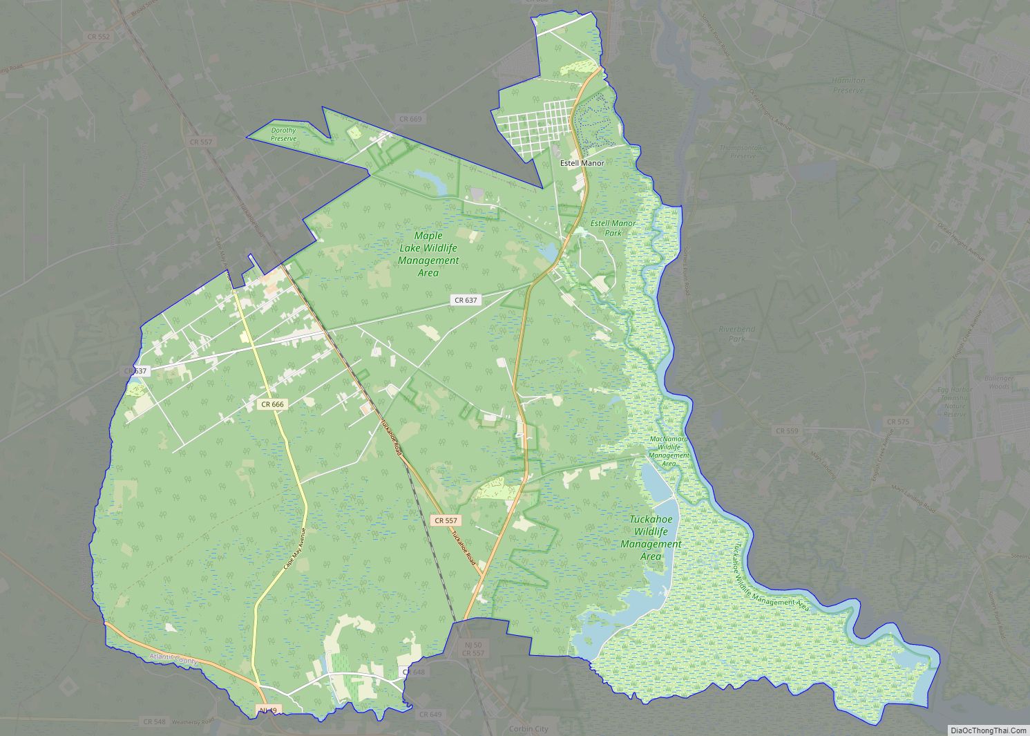
Online Interactive Map
Click on ![]() to view map in "full screen" mode.
to view map in "full screen" mode.
Estell Manor location map. Where is Estell Manor city?
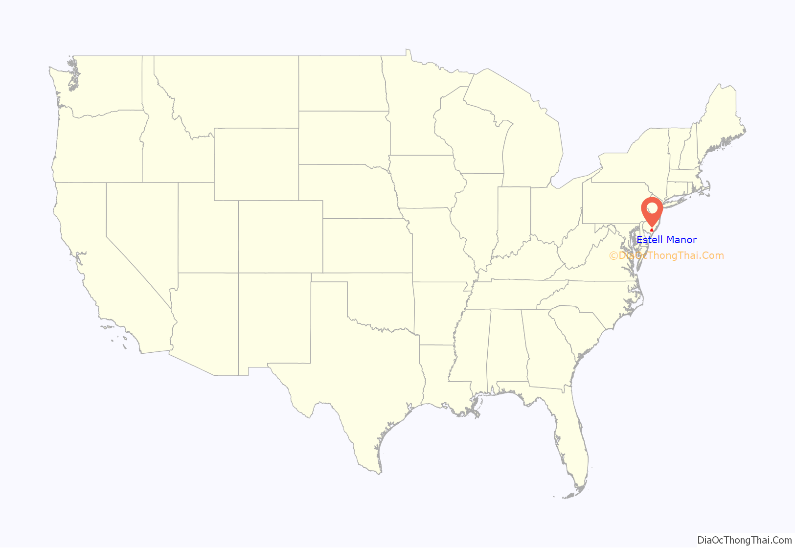
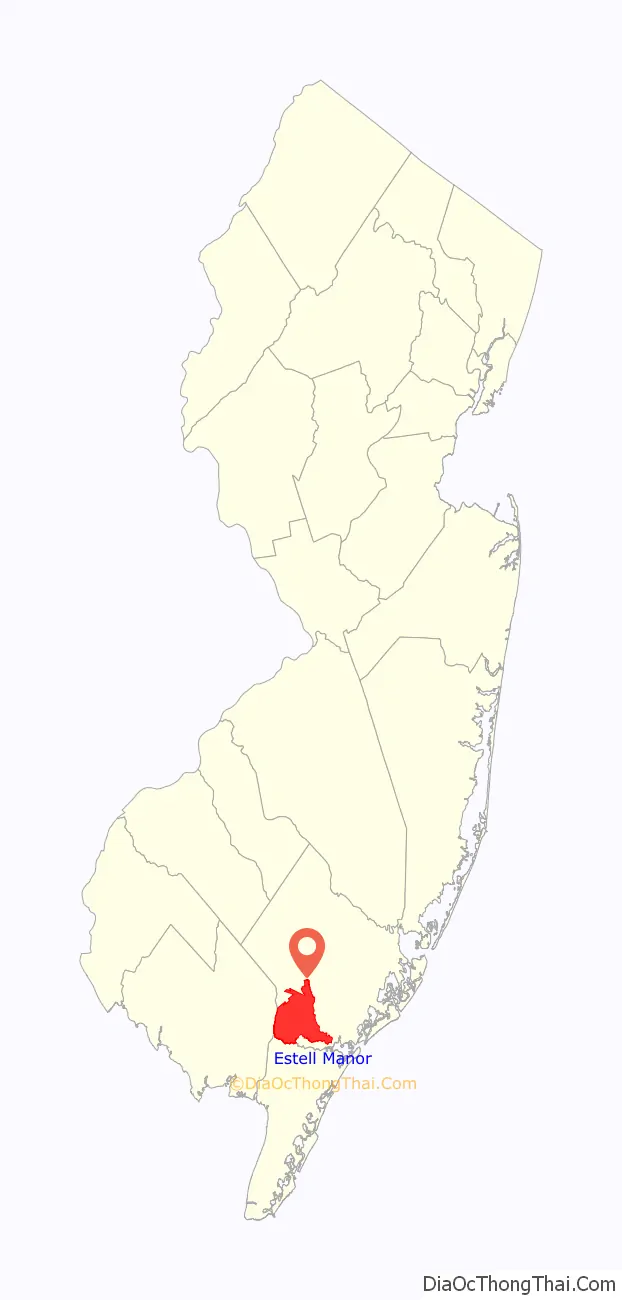
Estell Manor Road Map
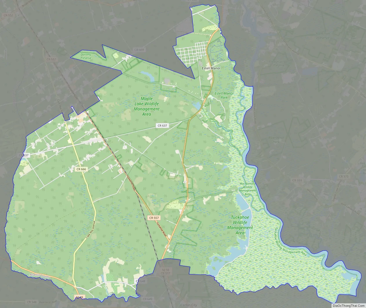
Estell Manor city Satellite Map

Geography
According to the United States Census Bureau, the city had a total area of 55.18 square miles (142.93 km), including 53.39 square miles (138.27 km) of land and 1.80 square miles (4.65 km) of water (3.26%).
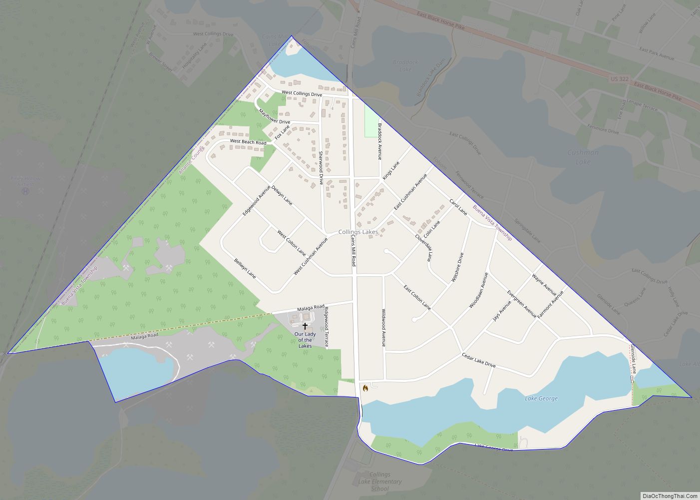
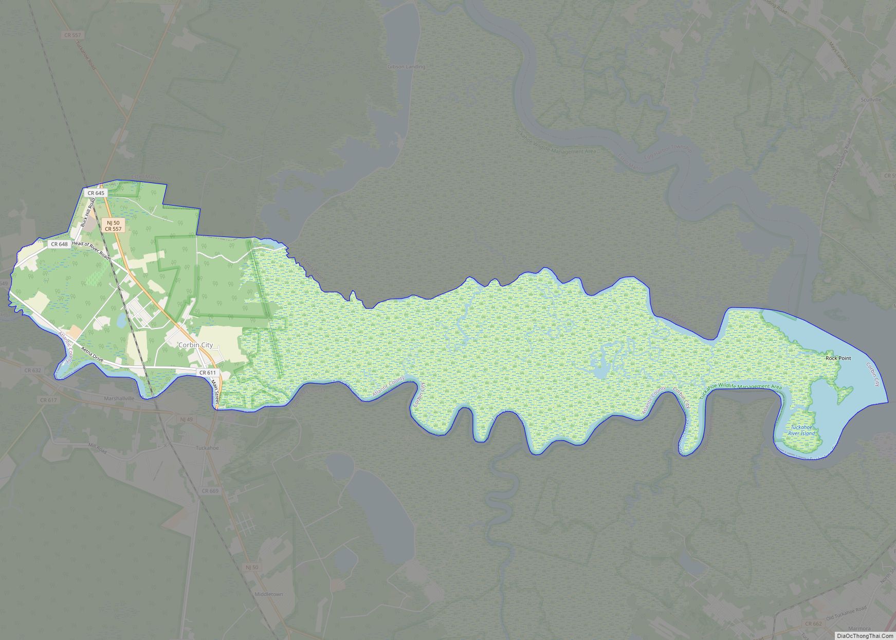
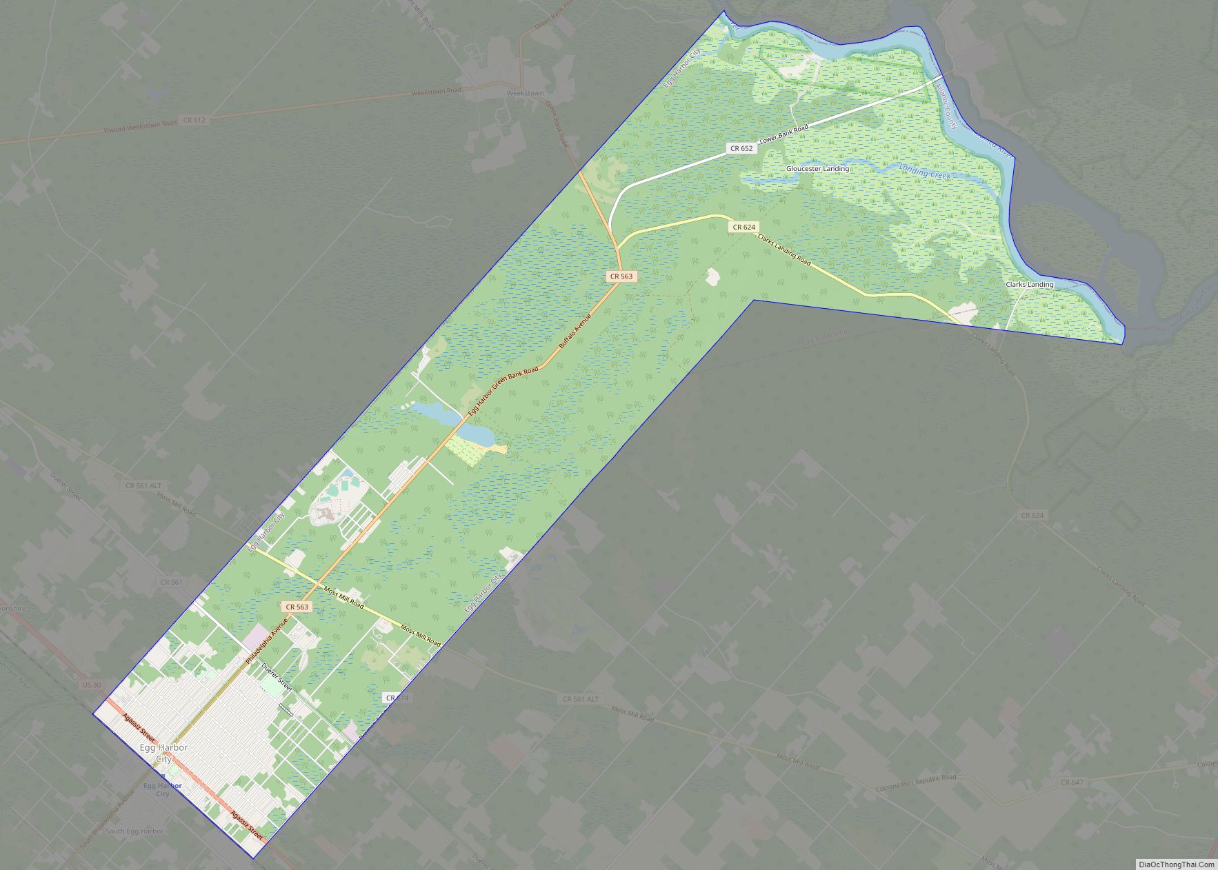
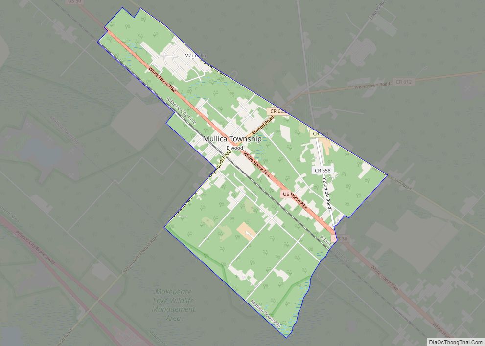
Unincorporated communities, localities and place names located partially or completely within the city include Estellville, Gibsons Landing, Head of River, Hunters Mill, Oakville, Old Etna Furnace, Russia, Steelmans Landing, Walkers Forge and Warners Mill.
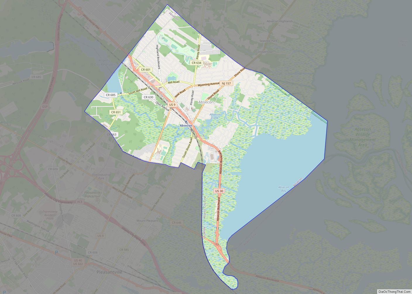
Estell Manor borders the municipalities of Corbin City, Egg Harbor Township, Hamilton Township and Weymouth Township in Atlantic County; and Upper Township in Cape May County; and Maurice River Township in Cumberland County.
The city is one of 56 South Jersey municipalities that are included within the New Jersey Pinelands National Reserve, a protected natural area of unique ecology covering 1,100,000 acres (450,000 ha), that has been classified as a United States Biosphere Reserve and established by Congress in 1978 as the nation’s first National Reserve. All of the city is included either in the state-designated Pinelands area (which includes portions of Atlantic County, along with areas in Burlington, Camden, Cape May, Cumberland, Gloucester and Ocean counties) or in the Pinelands National Reserve.
See also
Map of New Jersey State and its subdivision: Map of other states:- Alabama
- Alaska
- Arizona
- Arkansas
- California
- Colorado
- Connecticut
- Delaware
- District of Columbia
- Florida
- Georgia
- Hawaii
- Idaho
- Illinois
- Indiana
- Iowa
- Kansas
- Kentucky
- Louisiana
- Maine
- Maryland
- Massachusetts
- Michigan
- Minnesota
- Mississippi
- Missouri
- Montana
- Nebraska
- Nevada
- New Hampshire
- New Jersey
- New Mexico
- New York
- North Carolina
- North Dakota
- Ohio
- Oklahoma
- Oregon
- Pennsylvania
- Rhode Island
- South Carolina
- South Dakota
- Tennessee
- Texas
- Utah
- Vermont
- Virginia
- Washington
- West Virginia
- Wisconsin
- Wyoming