Essex Fells is a borough in Essex County, in the U.S. state of New Jersey. As of the 2020 United States census, the borough’s population was 2,244, an increase of 131 (+6.2%) from the 2010 census count of 2,113, which in turn reflected a decline of 49 (−2.3%) from the 2,162 counted in the 2000 census.
Essex Fells was incorporated as a borough by an act of the New Jersey Legislature on March 31, 1902, from portions of Caldwell Township (now Fairfield Township). The community’s name was derived by taking “Essex” from the name of the county and adding “Fells” from the name of John F. Fell which also means hill or down.
New Jersey Family magazine ranked Essex Fells as the best town for families in its 2016 rankings of “New Jersey’s Best Towns for Families”. New Jersey Monthly magazine ranked Essex Fells as its 10th best place to live in its 2008 rankings of the “Best Places To Live” in New Jersey. Niche.com ranked Essex Fells as the seventh best place to live in its 2019 rankings of the “Best Places to Live” in New Jersey.
In 2010, Forbes.com listed Essex Fells as 182nd in its listing of “America’s Most Expensive ZIP Codes”, with a median home price of $1,140,885.
| Name: | Essex Fells borough |
|---|---|
| LSAD Code: | 21 |
| LSAD Description: | borough (suffix) |
| State: | New Jersey |
| County: | Essex County |
| Incorporated: | March 31, 1902 |
| Elevation: | 505 ft (154 m) |
| Total Area: | 1.41 sq mi (3.66 km²) |
| Land Area: | 1.41 sq mi (3.65 km²) |
| Water Area: | 0.01 sq mi (0.02 km²) 0.43% |
| Total Population: | 2,244 |
| Population Density: | 1,593.4/sq mi (615.2/km²) |
| ZIP code: | 07021 |
| Area code: | 973 exchanges: 226, 228, 264, 403, 618 |
| FIPS code: | 3421840 |
| GNISfeature ID: | 2390558 |
| Website: | www.essexfellsboro.com |
Online Interactive Map
Click on ![]() to view map in "full screen" mode.
to view map in "full screen" mode.
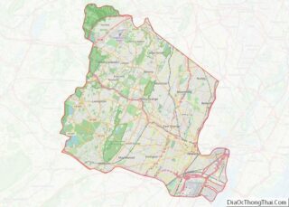
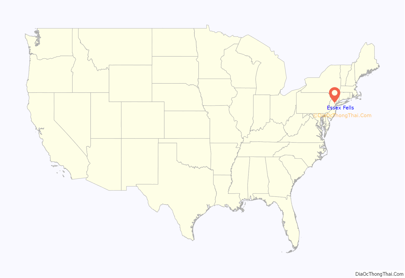
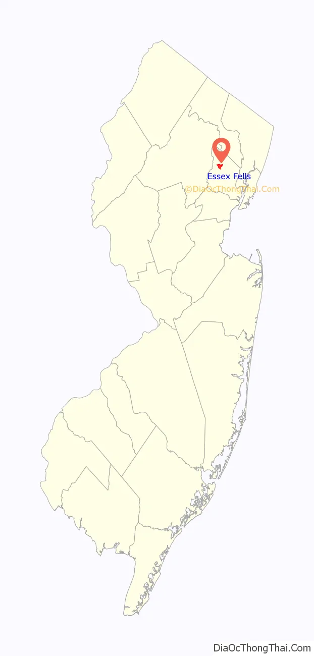
Essex Fells location map. Where is Essex Fells borough?
History
Essex Fells was part of the Horseneck Tract, which was an area that consisted of what are now the municipalities of Caldwell, West Caldwell, North Caldwell, Fairfield, Verona, Cedar Grove, Essex Fells, Roseland, and portions of Livingston and West Orange.
In 1702, settlers purchased the 14,000 acres (57 km) Horseneck Tract—so-called because of its irregular shape that suggested a horse’s neck and head—from the Lenni Lenape Native Americans for goods equal to $325. This purchase encompassed much of western Essex County, from the Orange, or First Mountain in the Watchung Mountain range to the Passaic River.
In the late 1800s, Philadelphia developer Anthony S. Drexel realized the impact of train travel on residential development and sent Charles W. Leavitt to the northern New Jersey area near the end of the Caldwell line. Leavitt, Drexel and Drexel’s son-in-law John F. Fell formed the Suburban Land Company and purchased 1,000 acres of land from the estate of Revolutionary War General William J. Gould. In order to create their residential development the group commissioned noted architect Ernest W. Bowditch. The community’s name was derived by taking “Essex” from the name of the county and adding “Fells” from the name of John F. Fell which also means hill or down.
Based on an ordinance passed in 1928, commercial activity in the borough is limited to a single three-story building constructed to look like a house and two small workshops on a dead end. As of 2000, Essex Fells had 750 houses, most of which were custom built, with many occupying lots several acres in size. The borough has no apartment buildings, office buildings or traffic lights, and until recently, no condominiums. The only units available for rental are in carriage houses and other ancillary structures.
In 1981, the borough was one of seven Essex County municipalities to pass a referendum to become a township, joining four municipalities that had already made the change, of what would ultimately be more than a dozen Essex County municipalities to reclassify themselves as townships in order take advantage of federal revenue sharing policies that allocated townships a greater share of government aid to municipalities on a per capita basis. Effective January 1, 1992, it again became a borough.
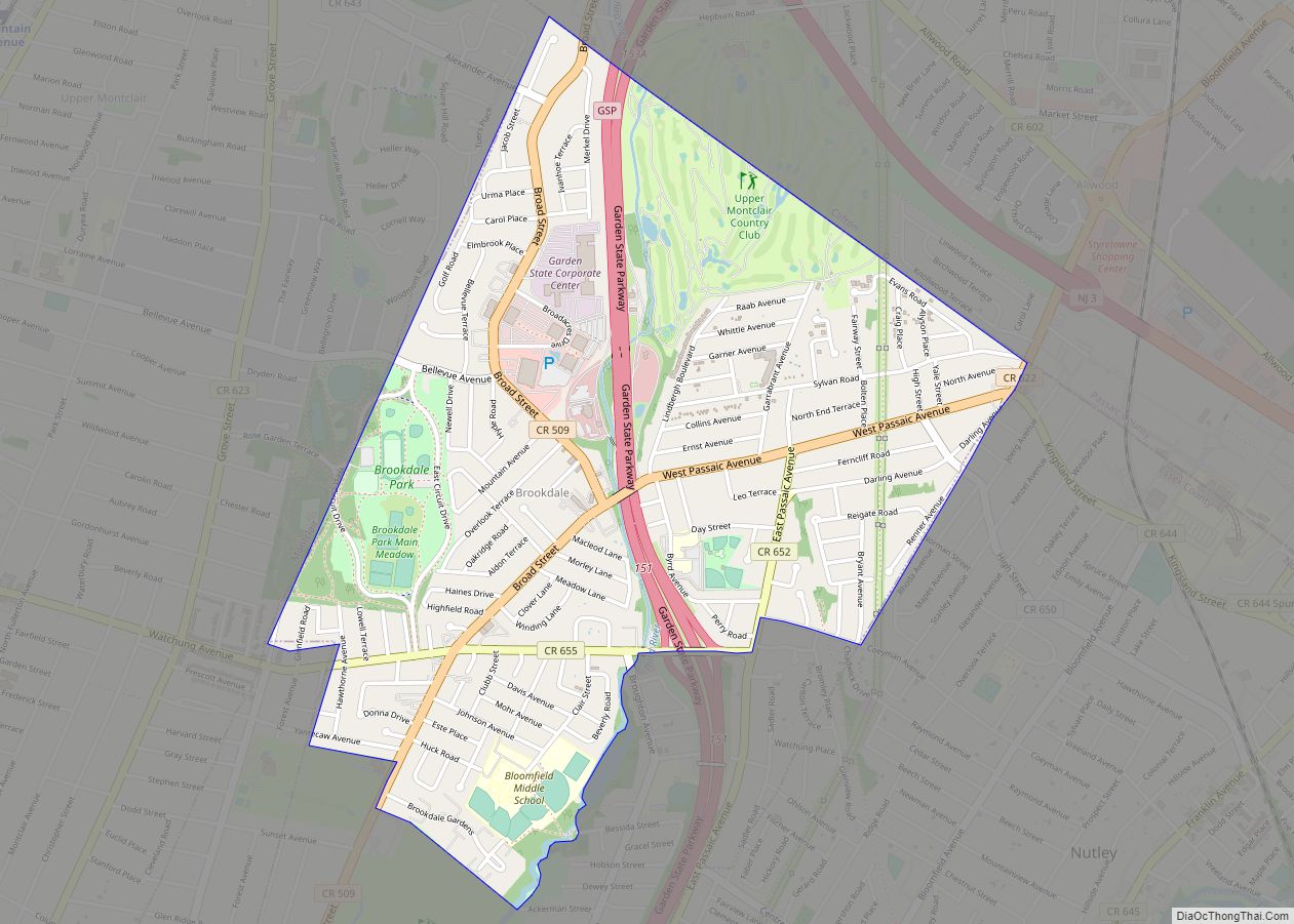
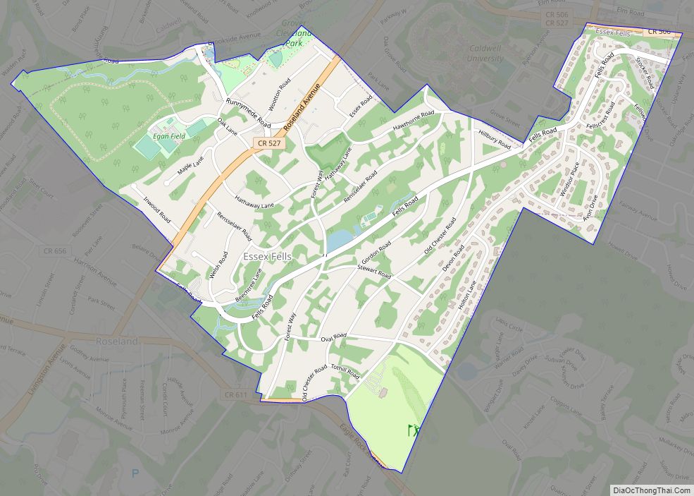
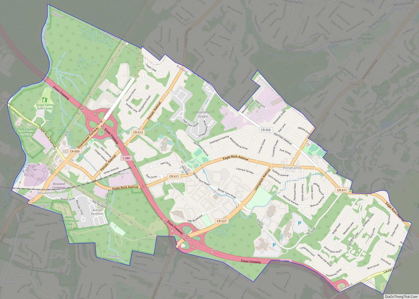
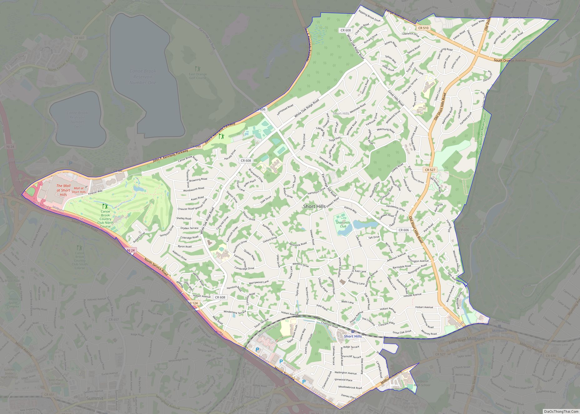
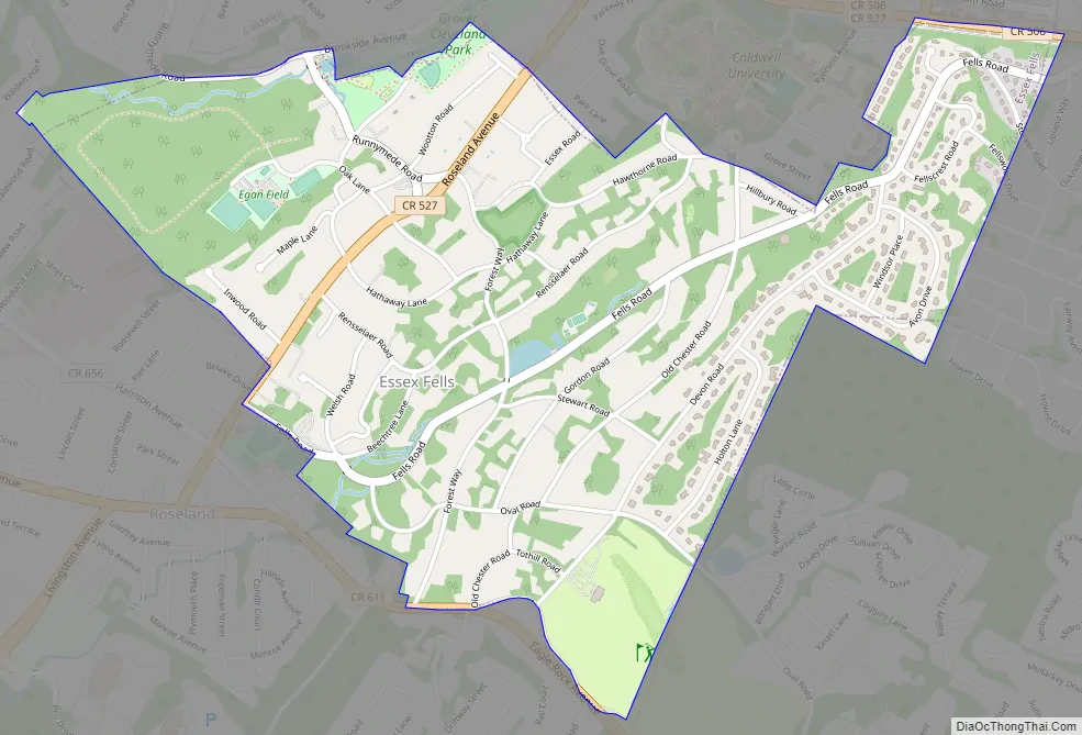
Essex Fells Road Map
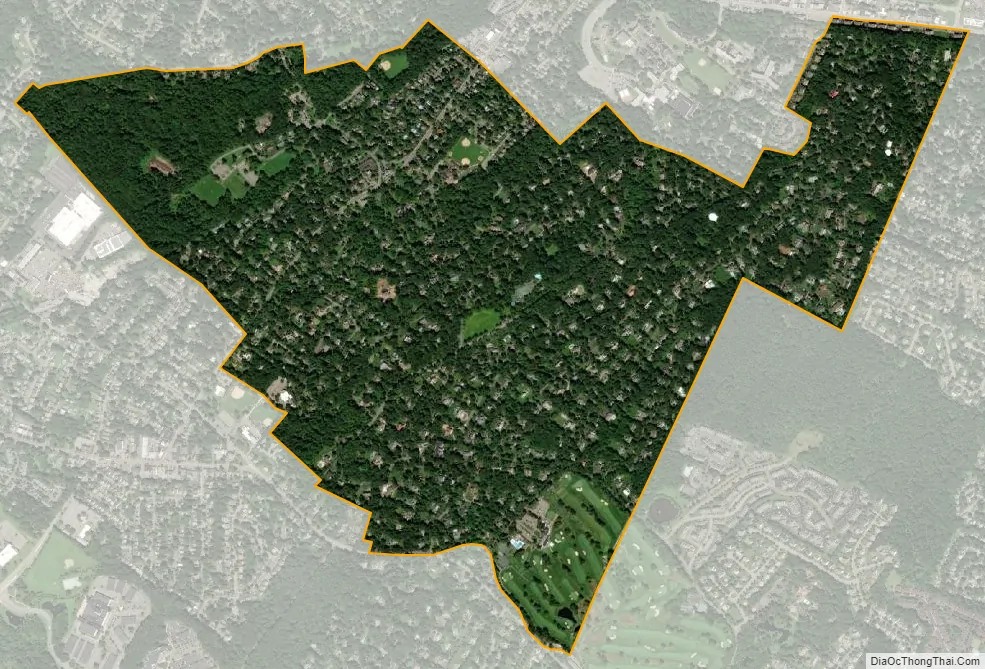
Essex Fells city Satellite Map
Geography
According to the United States Census Bureau, the borough had a total area of 1.41 square miles (3.66 km), including 1.41 square miles (3.65 km) of land and 0.01 square miles (0.02 km) of water (0.43%).
The borough borders the Essex County municipalities of Caldwell, North Caldwell, Roseland, Verona, West Caldwell and West Orange.
Climate
See also
Map of New Jersey State and its subdivision: Map of other states:- Alabama
- Alaska
- Arizona
- Arkansas
- California
- Colorado
- Connecticut
- Delaware
- District of Columbia
- Florida
- Georgia
- Hawaii
- Idaho
- Illinois
- Indiana
- Iowa
- Kansas
- Kentucky
- Louisiana
- Maine
- Maryland
- Massachusetts
- Michigan
- Minnesota
- Mississippi
- Missouri
- Montana
- Nebraska
- Nevada
- New Hampshire
- New Jersey
- New Mexico
- New York
- North Carolina
- North Dakota
- Ohio
- Oklahoma
- Oregon
- Pennsylvania
- Rhode Island
- South Carolina
- South Dakota
- Tennessee
- Texas
- Utah
- Vermont
- Virginia
- Washington
- West Virginia
- Wisconsin
- Wyoming