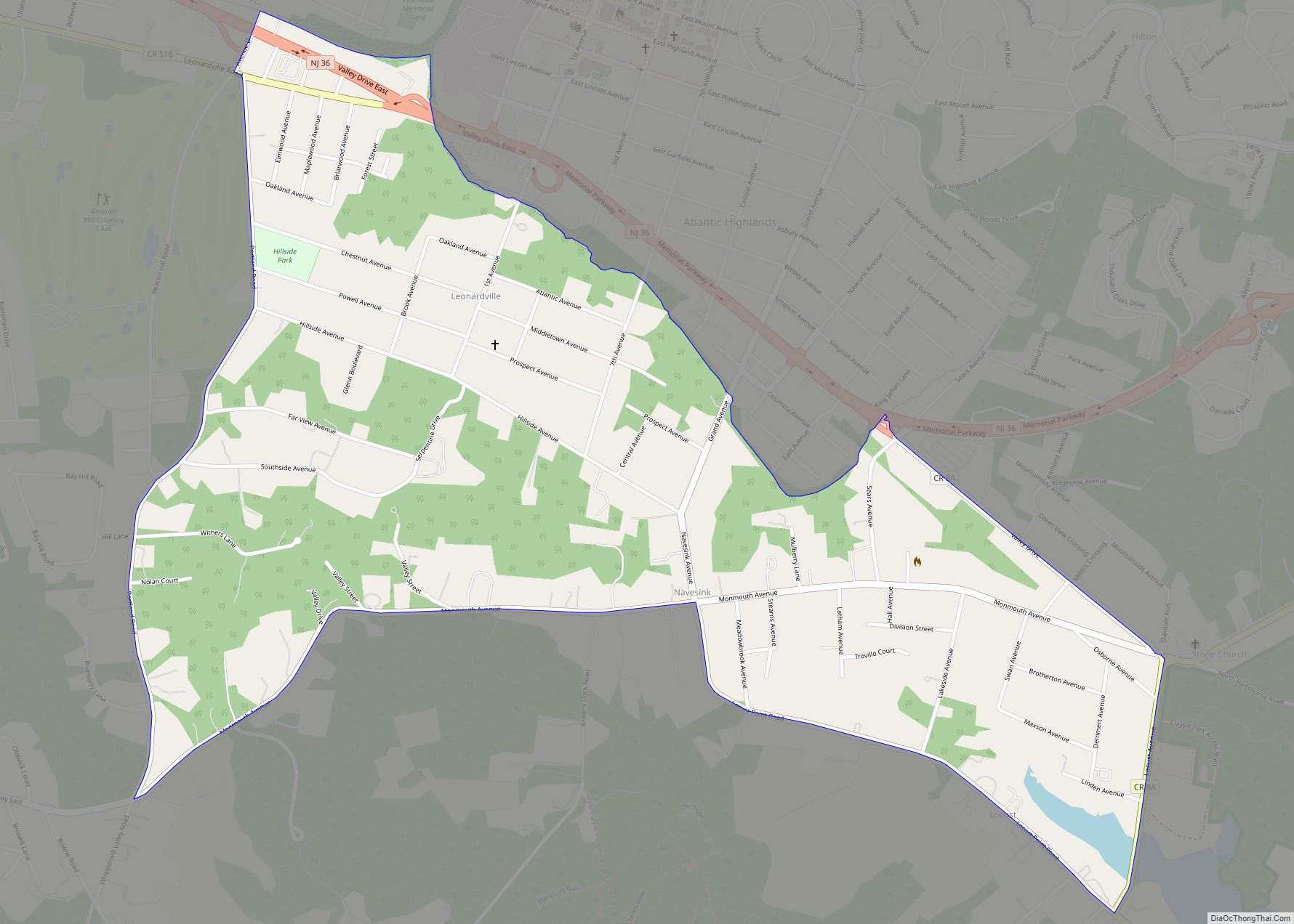
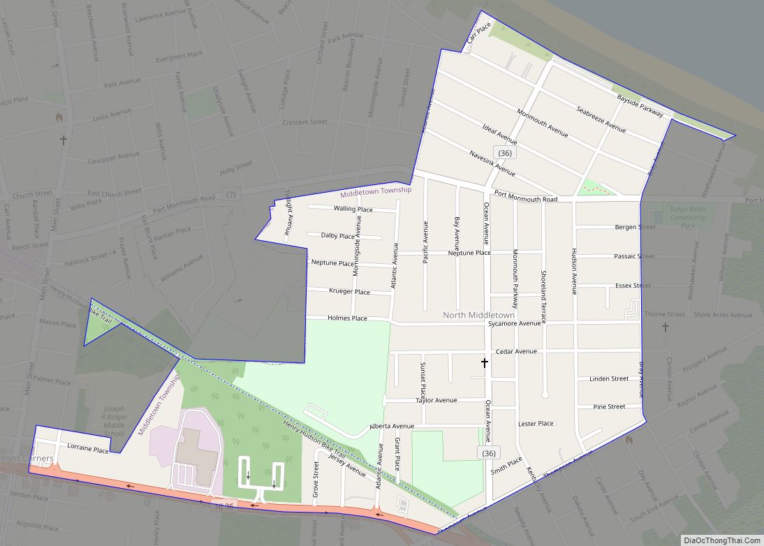
Map of Mullica Hill CDP

Map of Mullica Hill CDP

Mullica Hill is a census-designated place (CDP) and unincorporated community within Harrison Township, Gloucester County, New Jersey. As of the 2020 United States census, the CDP’s population was 4,698, an increase of 716 (+18.0%) from the 3,982 counted at the 2010 U.S. census, which in turn reflected an increase of 2,324 (+140.2%) from the 1,658 … Read more

Map of Mountainside borough

Map of Mountainside borough

Mountainside is a borough in Union County, in the U.S. state of New Jersey. The borough is located on a ridge in northern-central New Jersey, within the Raritan Valley and Rahway Valley regions in the New York metropolitan area. As of the 2020 United States census, the borough’s population was 7,020, an increase of 335 … Read more

Map of North Beach Haven CDP

Map of North Beach Haven CDP

North Beach Haven is an unincorporated community and census-designated place (CDP) located within Long Beach Township, in Ocean County, New Jersey, United States. As of the 2010 United States Census, the CDP’s population was 2,235. North Beach Haven CDP overview: Name: North Beach Haven CDP LSAD Code: 57 LSAD Description: CDP (suffix) State: New Jersey … Read more

Map of North Arlington borough

Map of North Arlington borough

North Arlington is a borough in Bergen County, in the U.S. state of New Jersey. As of the 2020 United States census, the borough’s population was 16,457, an increase of 1,065 (+6.9%) from the 2010 census count of 15,392, which in turn reflected an increase of 211 (+1.4%) from the 15,181 counted in the 2000 … Read more

Map of Newton town, New Jersey

Map of Newton town, New Jersey

Newton, officially the Town of Newton, is an incorporated municipality and the county seat of Sussex County in the U.S. state of New Jersey, situated approximately 60 miles (97 km) northwest of New York City. As of the 2020 United States census, the town’s population was 8,374, its highest decennial population ever, an increase of 377 … Read more

Map of Newfield borough

Map of Newfield borough

Newfield is a borough in Gloucester County, in the U.S. state of New Jersey. As of the 2020 United States census, the borough’s population was 1,774, an increase of 221 (+14.2%) from the 2010 census count of 1,553, which in turn reflected a decline of 63 (−3.9%) from the 1,616 counted in the 2000 census. … Read more

Map of New Village CDP

Map of New Village CDP

New Village is an unincorporated community and census-designated place (CDP) located within Franklin Township in Warren County, New Jersey, United States, that was created as part of the 2010 United States Census. As of the 2010 Census, the CDP’s population was 421. New Village CDP overview: Name: New Village CDP LSAD Code: 57 LSAD Description: … Read more

Map of New Providence borough, New Jersey

Map of New Providence borough, New Jersey

New Providence is a borough on the northwestern edge of Union County, in the U.S. state of New Jersey. It is located on the Passaic River, which forms the county boundary with Morris County bordering Chatham Township. As of the 2020 United States census, the borough’s population was 13,650, an increase of 1,479 (+12.2%) from … Read more

Map of North Middletown CDP, New Jersey

Map of North Middletown CDP, New Jersey

North Middletown is an unincorporated community and census-designated place (CDP) within Middletown Township, in Monmouth County, New Jersey, United States. As of the 2010 United States Census, the CDP’s population was 3,295. East Keansburg was renamed North Middletown by municipal ordinance around 1988. North Middletown CDP overview: Name: North Middletown CDP LSAD Code: 57 LSAD … Read more

Map of North Haledon borough

Map of North Haledon borough

North Haledon (pronounced North HAIL-don) is a borough in Passaic County, in the U.S. state of New Jersey. As of the 2020 United States census, the borough’s population was 8,927, an increase of 510 (+6.1%) from the 2010 census count of 8,417, which in turn reflected an increase of 497 (+6.3%) from the 7,920 counted … Read more

Map of North Cape May CDP

Map of North Cape May CDP

North Cape May is an unincorporated community and census-designated place (CDP) located within Lower Township in Cape May County, New Jersey, United States. It is part of the Ocean City Metropolitan Statistical Area. At the 2010 United States Census, the CDP’s population was 3,226. The Cape May–Lewes Ferry departs from the area. North Cape May … Read more

Map of North Caldwell borough

Map of North Caldwell borough

North Caldwell is a borough in northwestern Essex County, in the U.S. state of New Jersey, and a suburb of New York City. As of the 2020 United States census, the borough’s population was 6,694, an increase of 511 (+8.3%) from the 2010 census count of 6,183, which in turn reflected a decline of 1,192 … Read more