North Cape May is an unincorporated community and census-designated place (CDP) located within Lower Township in Cape May County, New Jersey, United States. It is part of the Ocean City Metropolitan Statistical Area. At the 2010 United States Census, the CDP’s population was 3,226. The Cape May–Lewes Ferry departs from the area. North Cape May is mostly a residential community, with no hotels but many vacation homes. Many people retire to the community.
North Cape May had existed as an independent borough, formed by an act of the New Jersey Legislature on March 19, 1928, from portions of Lower Township. The borough remained independent until April 30, 1945, when it was returned to Lower Township. The borough had a population of 5 at the 1930 Census, which increased to 8 by 1940.
| Name: | North Cape May CDP |
|---|---|
| LSAD Code: | 57 |
| LSAD Description: | CDP (suffix) |
| State: | New Jersey |
| County: | Cape May County |
| Elevation: | 13 ft (4 m) |
| Total Area: | 2.13 sq mi (5.53 km²) |
| Land Area: | 2.01 sq mi (5.19 km²) |
| Water Area: | 0.13 sq mi (0.33 km²) 2.49% |
| Total Population: | 4,007 |
| Population Density: | 1,997.51/sq mi (771.34/km²) |
| ZIP code: | 08204 – Cape May |
| Area code: | 609 |
| FIPS code: | 3452650 |
| GNISfeature ID: | 02389569 |
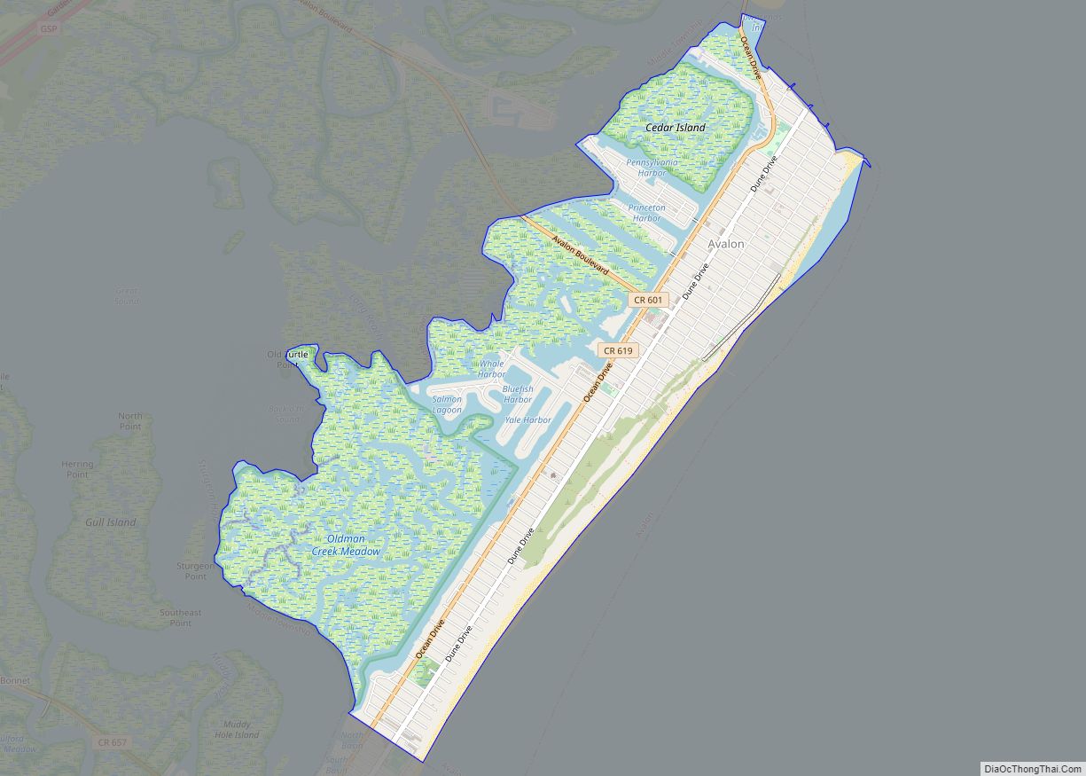
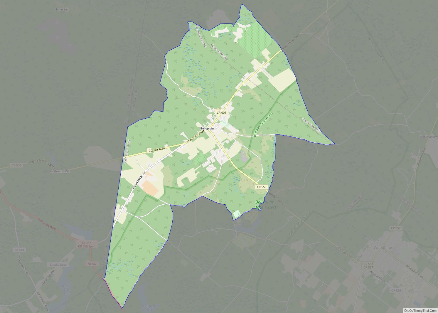
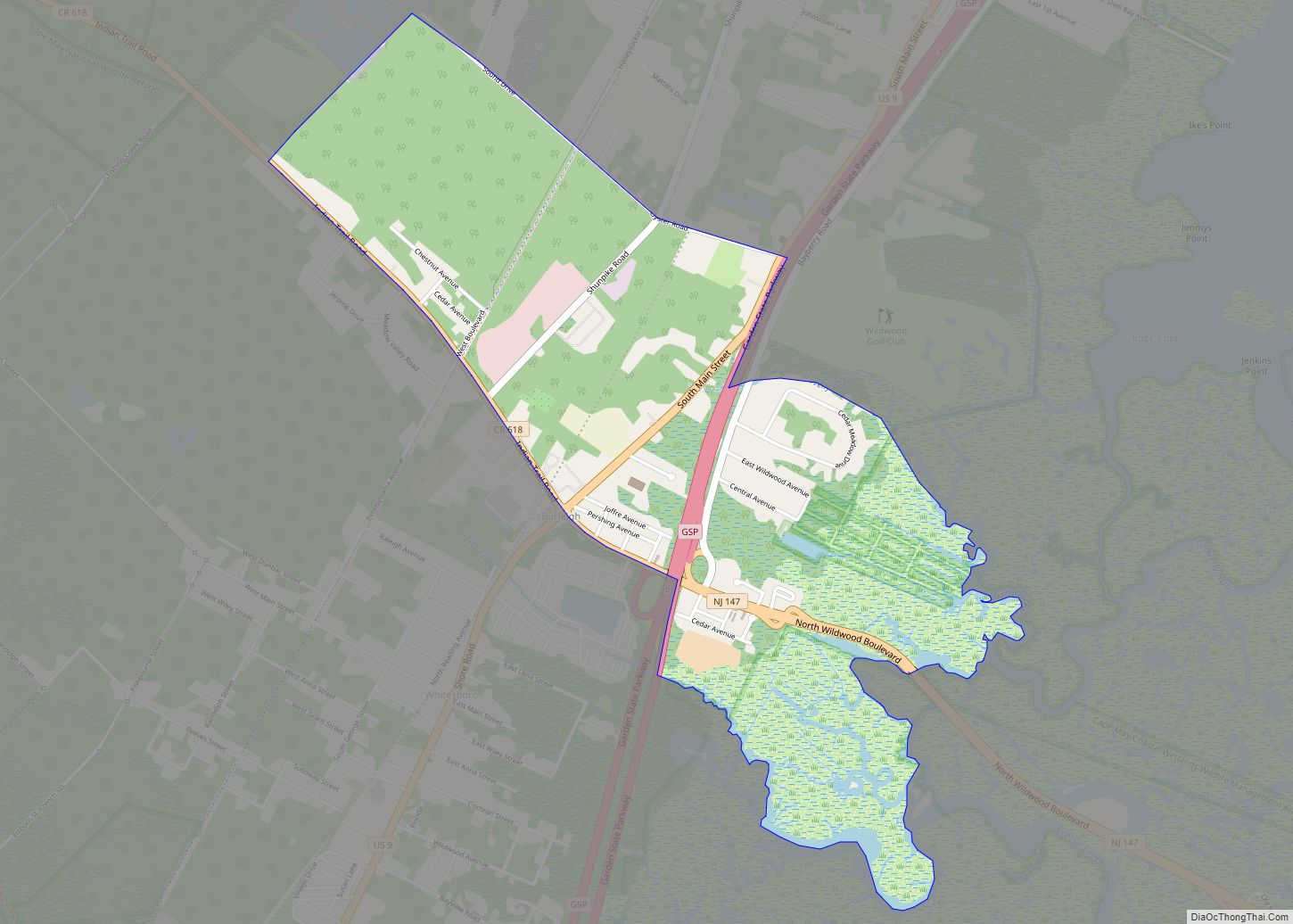
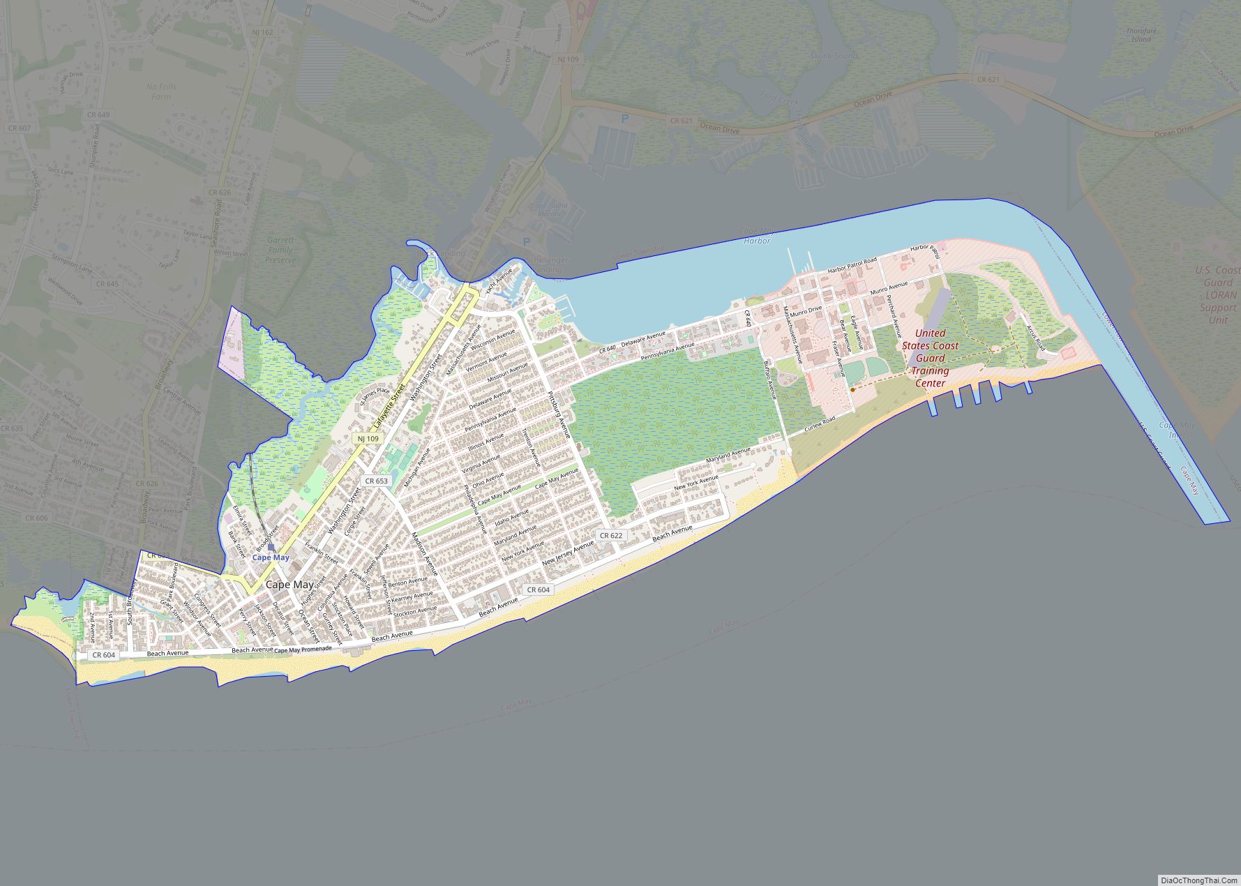
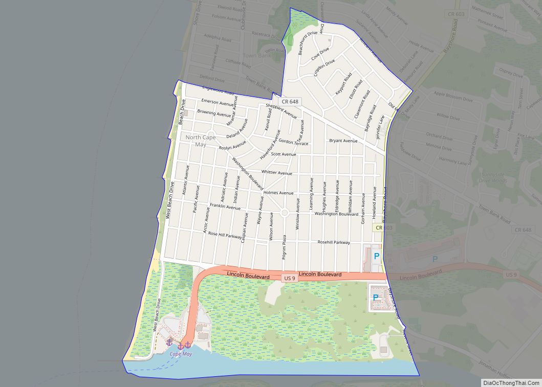
Online Interactive Map
Click on ![]() to view map in "full screen" mode.
to view map in "full screen" mode.
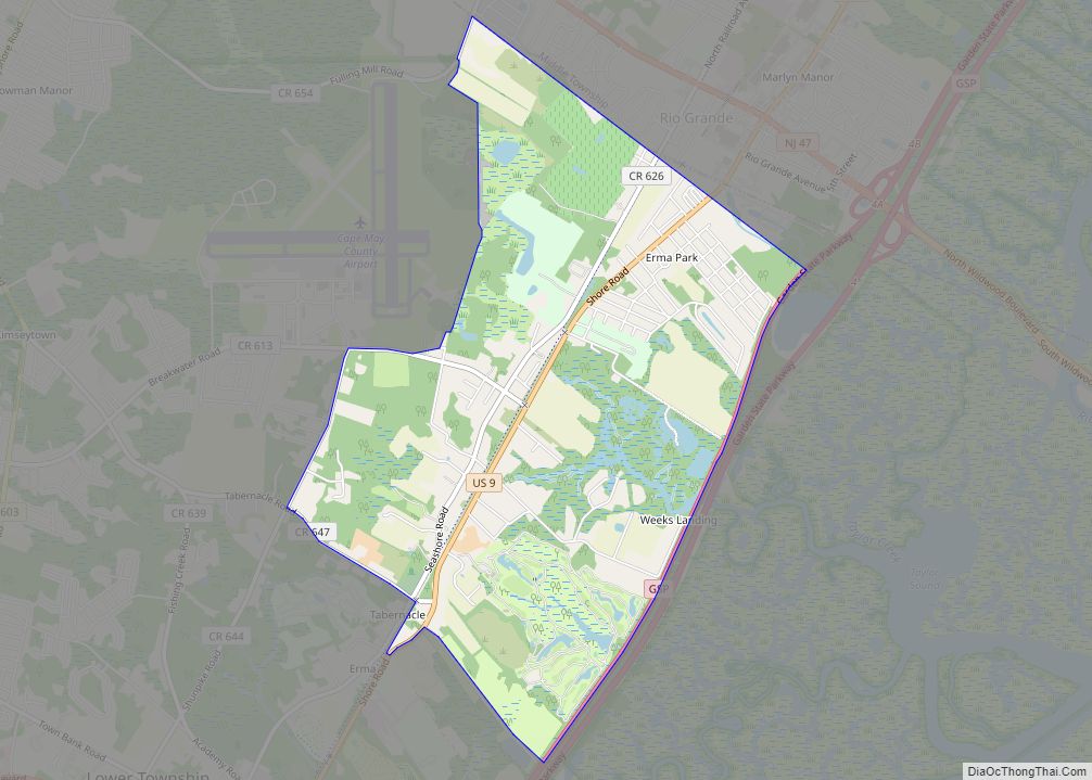
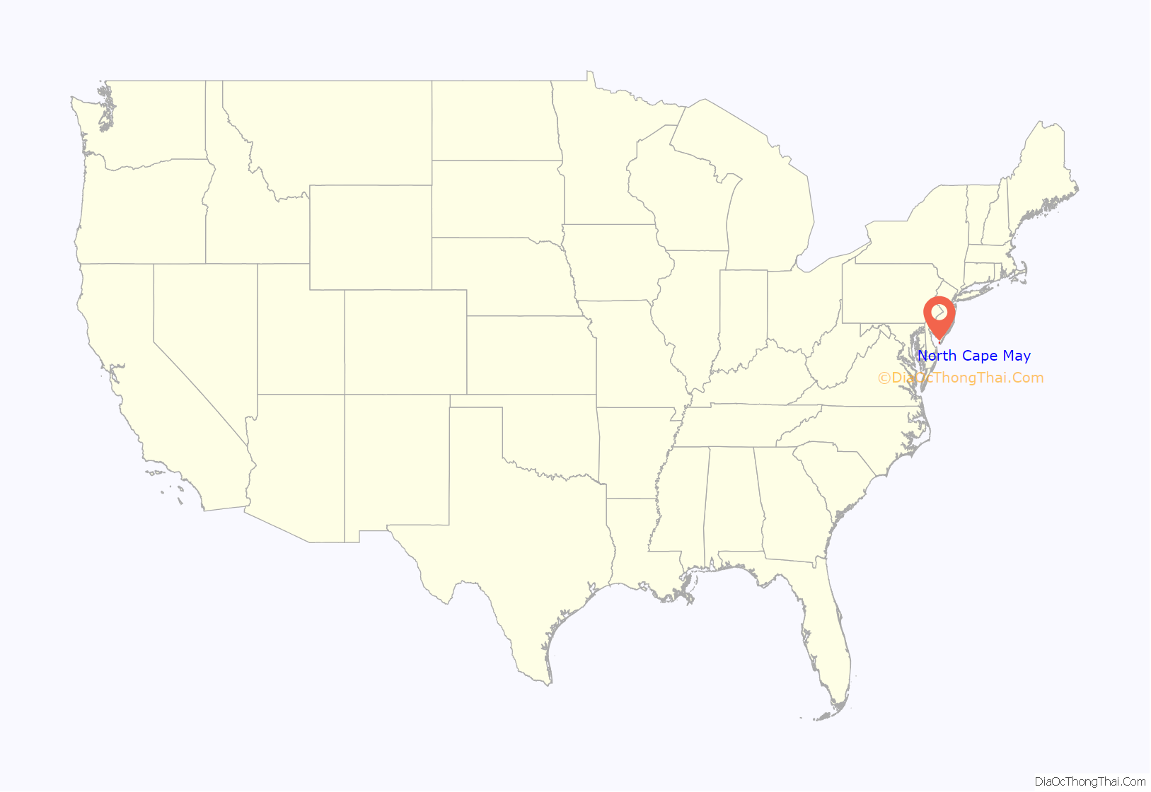
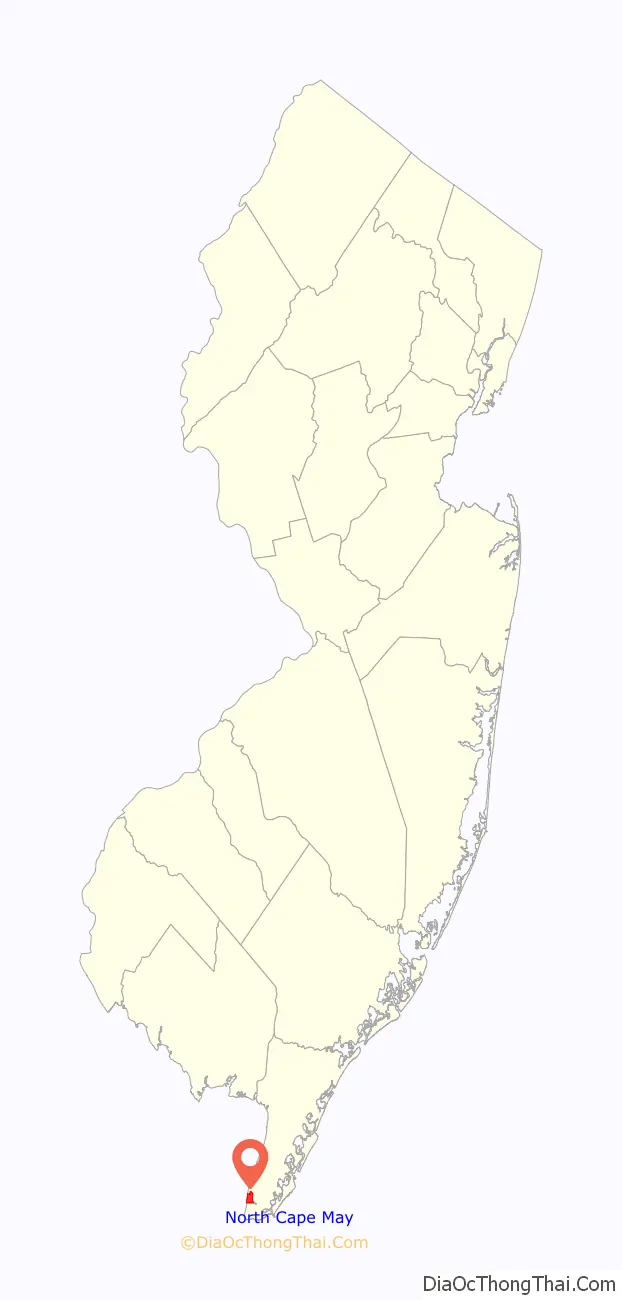
North Cape May location map. Where is North Cape May CDP?
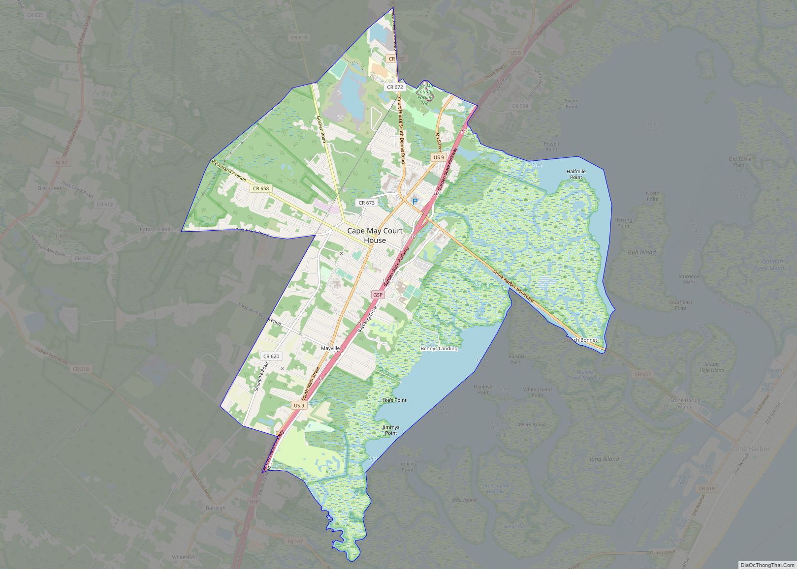
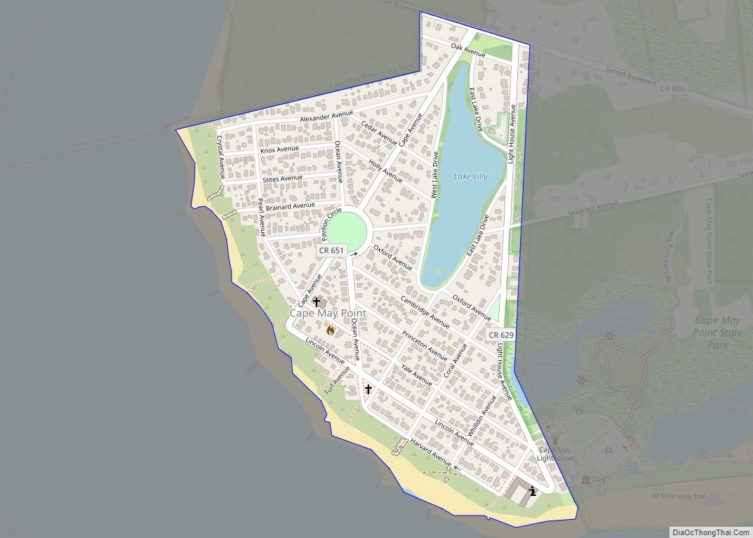
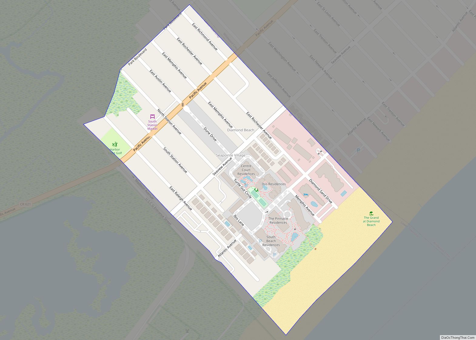
North Cape May Road Map
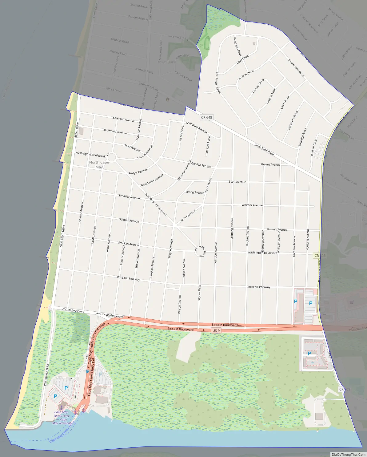
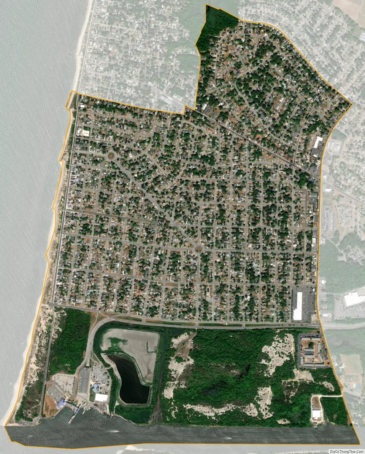
North Cape May city Satellite Map
Geography
According to the United States Census Bureau, the CDP had a total area of 1.494 square miles (3.870 km), including 1.457 square miles (3.773 km) of land and 0.037 square miles (0.096 km) of water (2.49%).
See also
Map of New Jersey State and its subdivision: Map of other states:- Alabama
- Alaska
- Arizona
- Arkansas
- California
- Colorado
- Connecticut
- Delaware
- District of Columbia
- Florida
- Georgia
- Hawaii
- Idaho
- Illinois
- Indiana
- Iowa
- Kansas
- Kentucky
- Louisiana
- Maine
- Maryland
- Massachusetts
- Michigan
- Minnesota
- Mississippi
- Missouri
- Montana
- Nebraska
- Nevada
- New Hampshire
- New Jersey
- New Mexico
- New York
- North Carolina
- North Dakota
- Ohio
- Oklahoma
- Oregon
- Pennsylvania
- Rhode Island
- South Carolina
- South Dakota
- Tennessee
- Texas
- Utah
- Vermont
- Virginia
- Washington
- West Virginia
- Wisconsin
- Wyoming