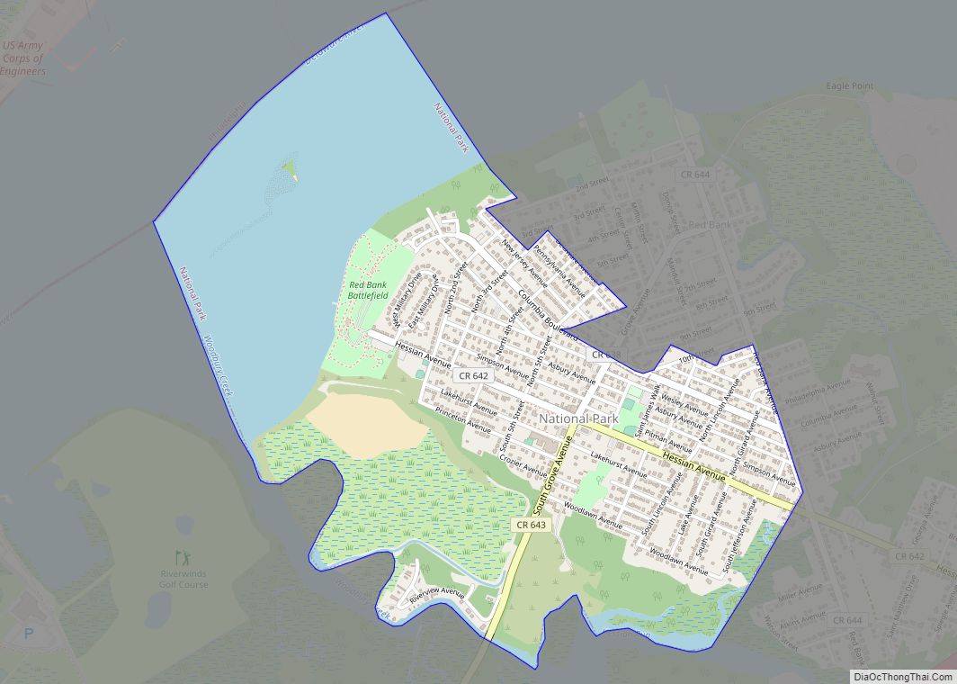
National Park is a borough in Gloucester County, in the U.S. state of New Jersey. As of the 2020 United States census, the borough’s population was 3,026, a decrease of 10 (−0.3%) from the 2010 census count of 3,036, which in turn reflected a decline of 169 (−5.3%) from the 3,205 counted in the 2000 census. Despite its name, National Park is neither a national park nor associated with one.
National Park had the 18th-highest property tax rate in New Jersey in 2020, with an equalized rate of 4.446% compared to 3.212% in the county as a whole and a statewide average of 2.279%.
| Name: | National Park borough |
|---|---|
| LSAD Code: | 21 |
| LSAD Description: | borough (suffix) |
| State: | New Jersey |
| County: | Gloucester County |
| Incorporated: | April 15, 1902 |
| Elevation: | 13 ft (4 m) |
| Total Area: | 1.44 sq mi (3.73 km²) |
| Land Area: | 1.01 sq mi (2.61 km²) |
| Water Area: | 0.43 sq mi (1.12 km²) 30.14% |
| Total Population: | 3,026 |
| Population Density: | 3,003.7/sq mi (1,159.7/km²) |
| ZIP code: | 08063 |
| Area code: | 856 |
| FIPS code: | 3449680 |
| GNISfeature ID: | 0885314 |
| Website: | www.nationalparknj.com |
Online Interactive Map
Click on ![]() to view map in "full screen" mode.
to view map in "full screen" mode.
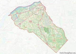
National Park location map. Where is National Park borough?


History
In 1777, during the American Revolutionary War, the Continental Army under command of George Washington constructed two forts on the Delaware River to block the approach to Philadelphia: Fort Mifflin on the Pennsylvania side and Fort Mercer on the New Jersey side, which is now National Park. The fort was named in honor of Brigadier General Hugh Mercer who died earlier that year at the Battle of Princeton. A park, monument, and museum commemorate the fort on its original site.
On October 22, 1777, in the Battle of Red Bank, an attack by 900 Hessian troops, serving under British Major General William Howe, who then occupied Philadelphia, was repelled, with heavy losses on the Hessian side, including the death of their commander, Colonel Carl Emil Kurt von Donop, by the 600 Continental defenders under Colonel Christopher Greene. After the loss of Fort Mifflin, Fort Mercer was abandoned without a fight when Lord Charles Cornwallis landed 2,000 British troops nearby on November 18.
In 1895, the area began to be commercially developed as a religious retreat for members of the Methodist Episcopal Church and called National Park on the Delaware. The founder, the Rev. James E. Lake, also created Ocean City, New Jersey.
National Park was formally established as a borough by an act of the New Jersey Legislature on April 15, 1902, from portions of West Deptford Township. The town name probably originated in reference to the county park at Red Bank Battlefield.
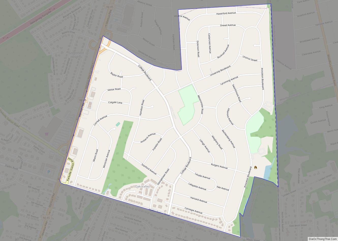
National Park Road Map

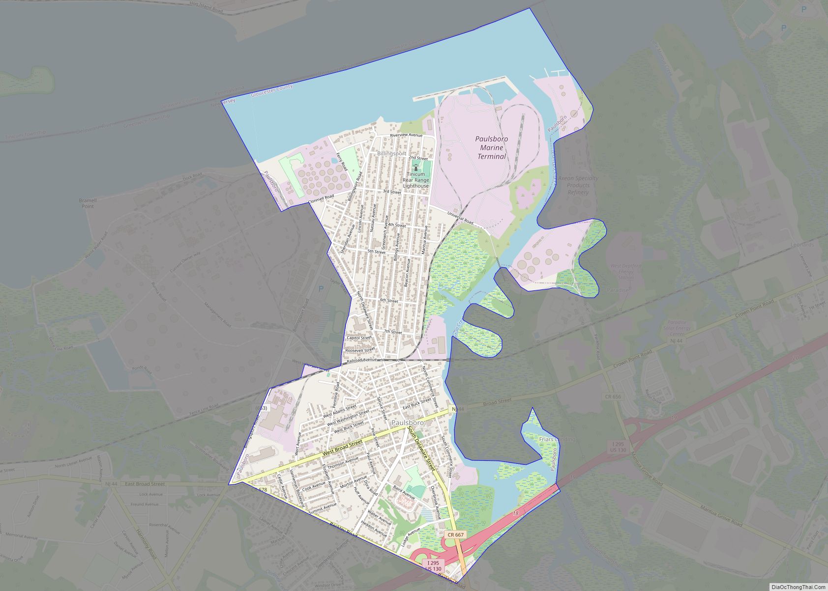
National Park city Satellite Map
Geography
According to the U.S. Census Bureau, the borough had a total area of 1.44 square miles (3.73 km), including 1.01 square miles (2.61 km) of land and 0.43 square miles (1.12 km) of water (30.14%). The borough borders West Deptford Township and the Delaware River. The Delaware River shore faces the southern end of Philadelphia, across from the mouth of the Schuylkill River and Fort Mifflin.
See also
Map of New Jersey State and its subdivision: Map of other states:- Alabama
- Alaska
- Arizona
- Arkansas
- California
- Colorado
- Connecticut
- Delaware
- District of Columbia
- Florida
- Georgia
- Hawaii
- Idaho
- Illinois
- Indiana
- Iowa
- Kansas
- Kentucky
- Louisiana
- Maine
- Maryland
- Massachusetts
- Michigan
- Minnesota
- Mississippi
- Missouri
- Montana
- Nebraska
- Nevada
- New Hampshire
- New Jersey
- New Mexico
- New York
- North Carolina
- North Dakota
- Ohio
- Oklahoma
- Oregon
- Pennsylvania
- Rhode Island
- South Carolina
- South Dakota
- Tennessee
- Texas
- Utah
- Vermont
- Virginia
- Washington
- West Virginia
- Wisconsin
- Wyoming