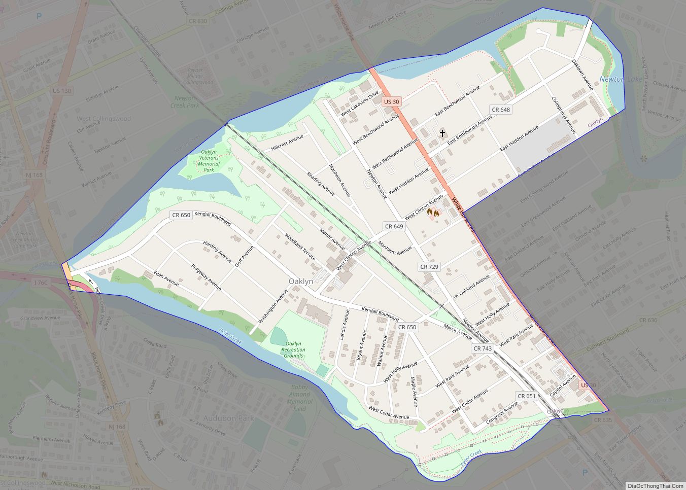
Oaklyn is a borough in Camden County, in the U.S. state of New Jersey. As of the 2020 United States census, the borough’s population was 3,930, a decrease of 108 (−2.7%) from the 2010 census count of 4,038, which in turn reflected a decline of 150 (−3.6%) from the 4,188 counted in the 2000 census. ... Read more
New Jersey Cities and Places
Oakland is a borough in Bergen County, in the U.S. state of New Jersey and a suburb of New York City. As of the 2020 United States census, the borough’s population was 12,748, a decrease of six people from the 2010 census count of 12,754, which in turn reflected an increase of 288 (+2.3%) from ... Read more
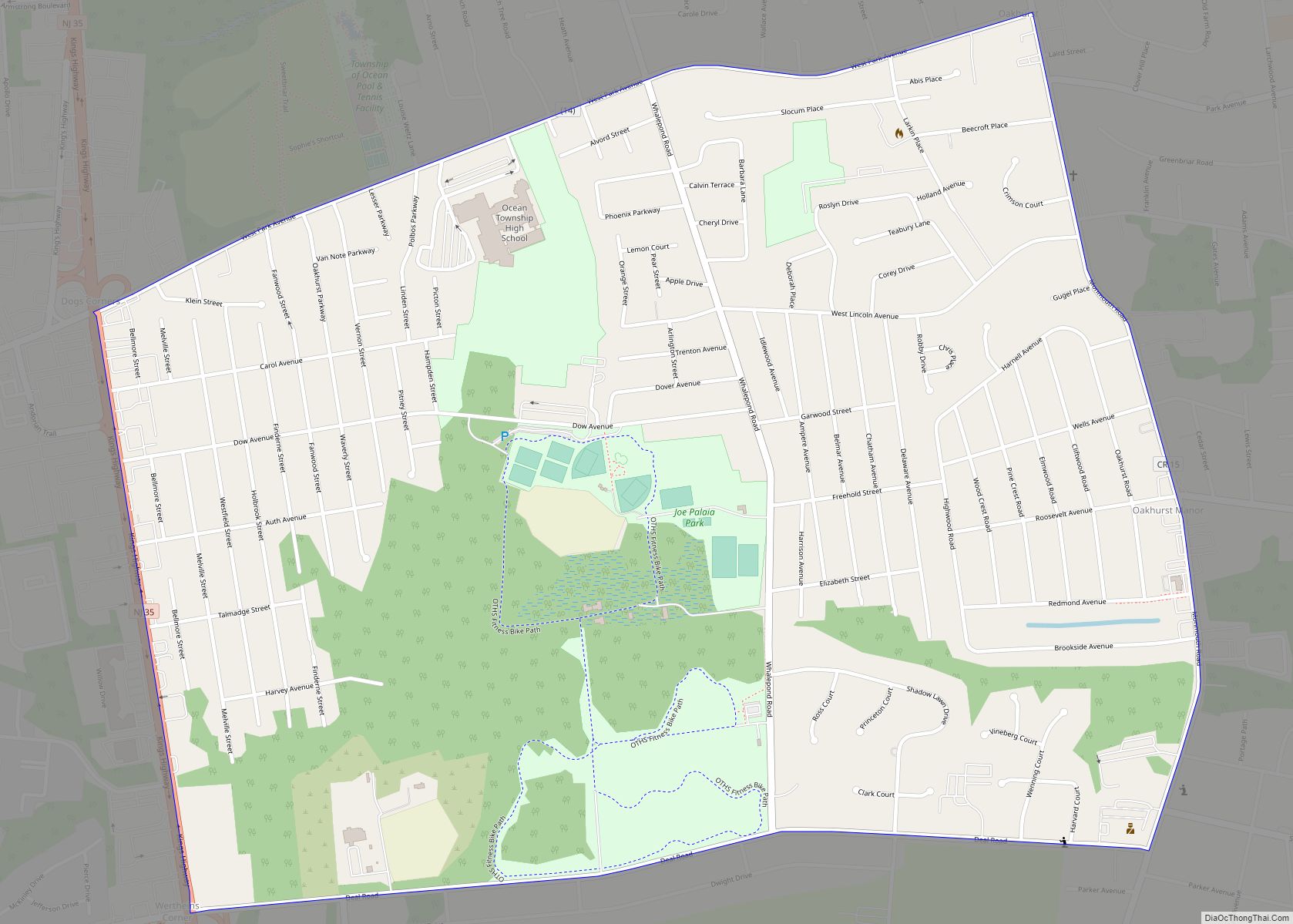
Oakhurst is an unincorporated community and census-designated place (CDP) within Ocean Township, in Monmouth County, New Jersey, United States. As of the 2010 United States Census, the CDP’s population was 3,995. Oakhurst CDP overview: Name: Oakhurst CDP LSAD Code: 57 LSAD Description: CDP (suffix) State: New Jersey County: Monmouth County Elevation: 46 ft (14 m) Total Area: ... Read more
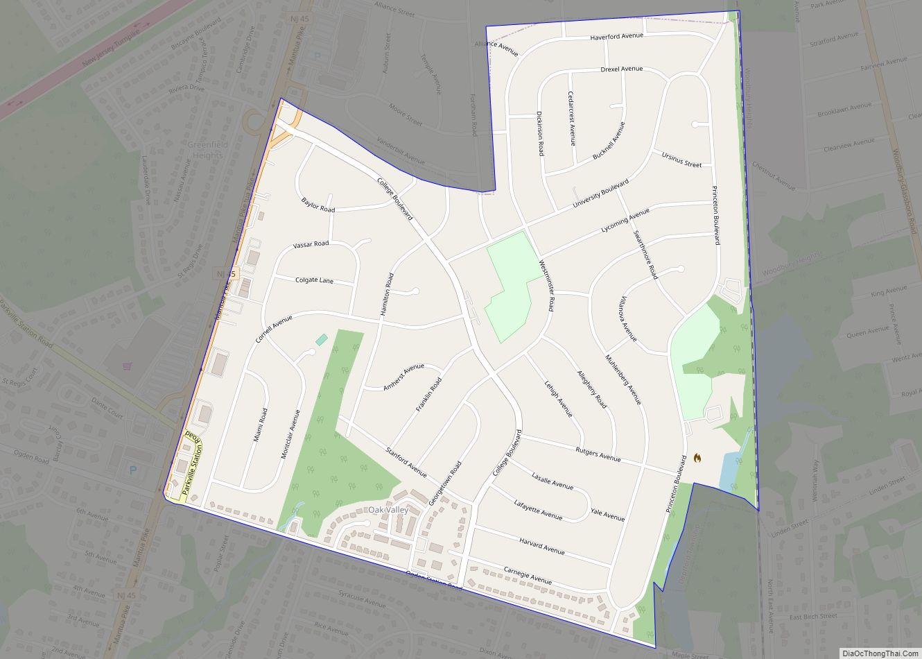
Oak Valley is an unincorporated community and census-designated place (CDP) located within Deptford Township in Gloucester County, New Jersey. As of the 2010 U.S. census, Oak Valley’s population was 3,483. Oak Valley and neighboring Pine Acres are located east of Route 45, isolated from the rest of Deptford Township, requiring residents to drive through the ... Read more
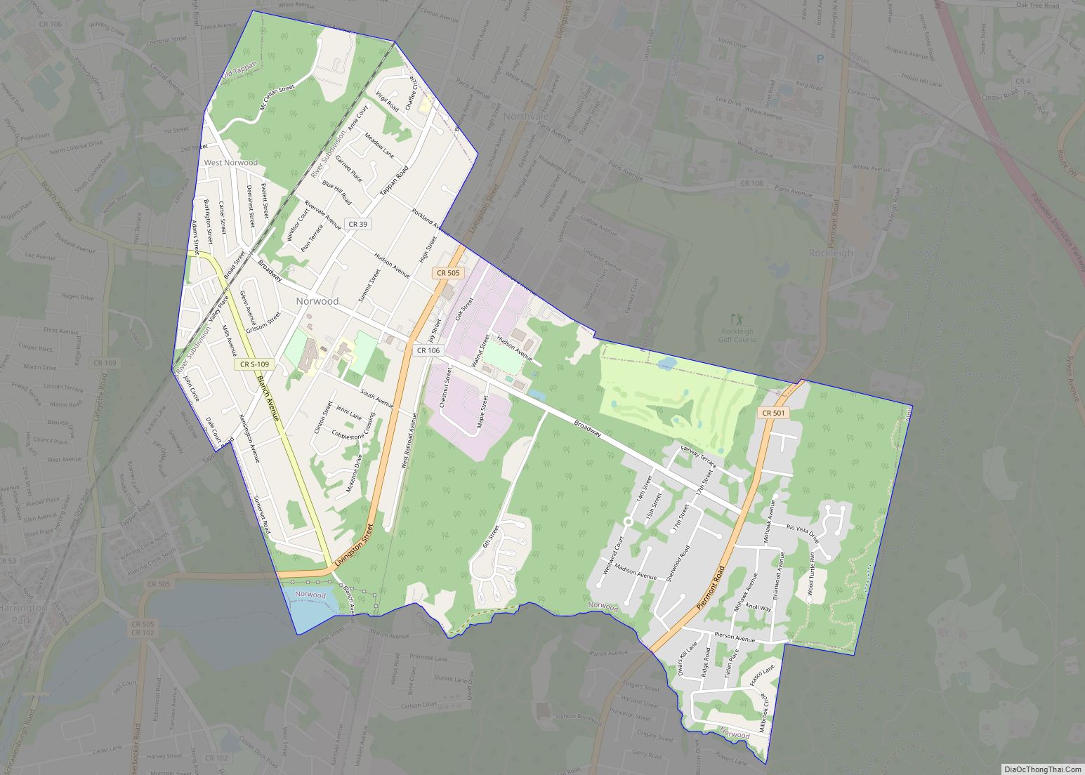
Norwood is a borough in Bergen County, in the U.S. state of New Jersey. As of the 2020 United States census, the borough’s population was 5,641, a decrease of 70 (−1.2%) from the 2010 census count of 5,711, which in turn reflected a decline of 40 (−0.7%) from the 5,751 counted in the 2000 census. ... Read more
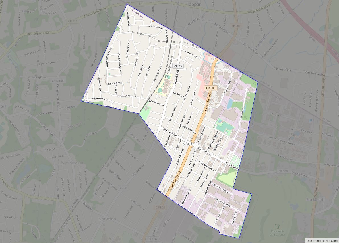
Northvale is a borough in Bergen County, in the U.S. state of New Jersey. As of the 2020 United States census, the borough’s population was 4,761, an increase of 121 (+2.6%) from the 2010 census count of 4,640, which in turn reflected an increase of 180 (+4.0%) from the 4,460 counted in the 2000 census. ... Read more
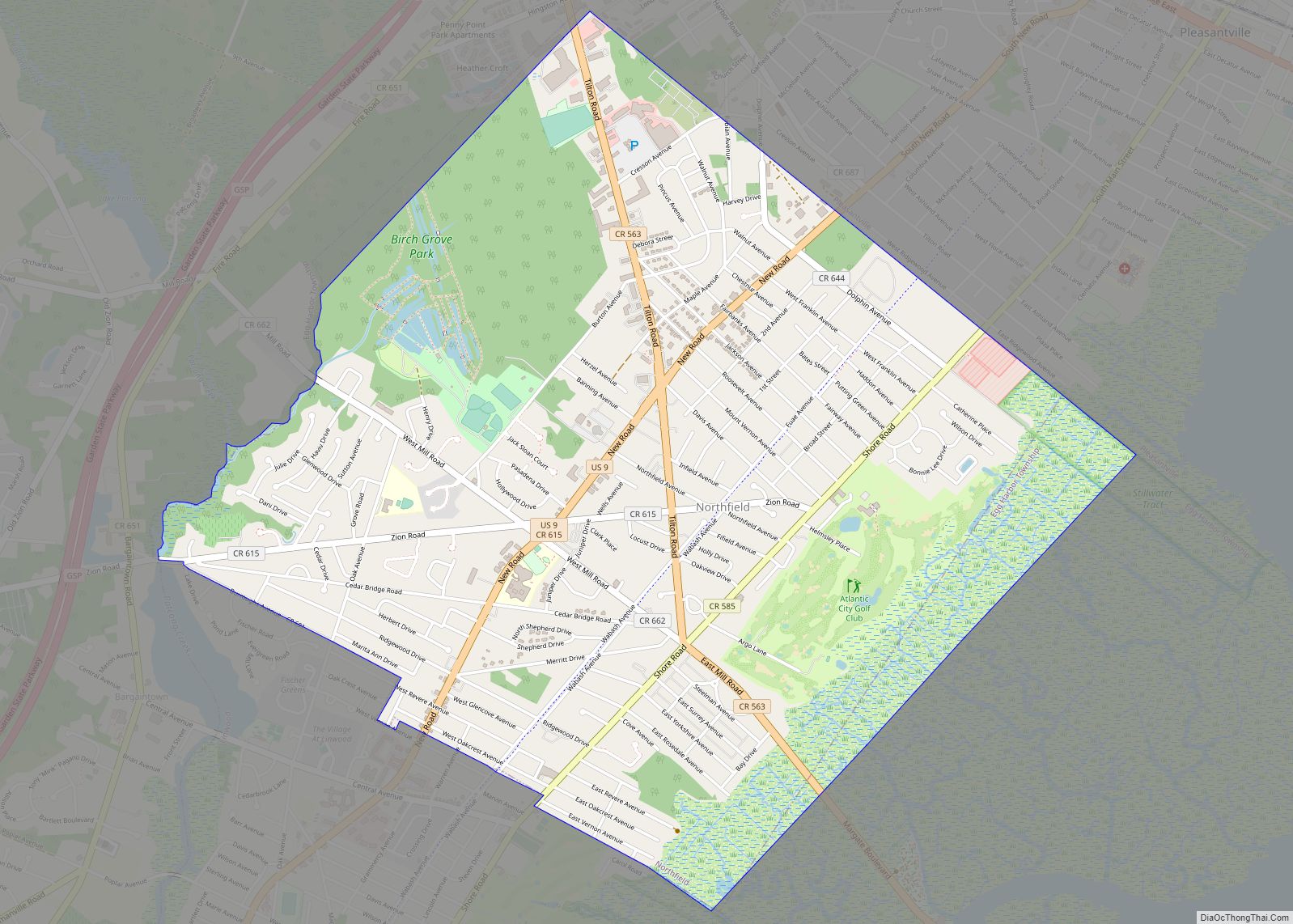
Northfield is a city in Atlantic County, in the U.S. state of New Jersey. As of the 2020 United States census, the city’s population was 8,434, a decrease of 190 (−2.2%) from the 2010 census count of 8,624, which in turn reflected an increase of 899 (+11.6%) from the 7,725 counted in the 2000 census. ... Read more
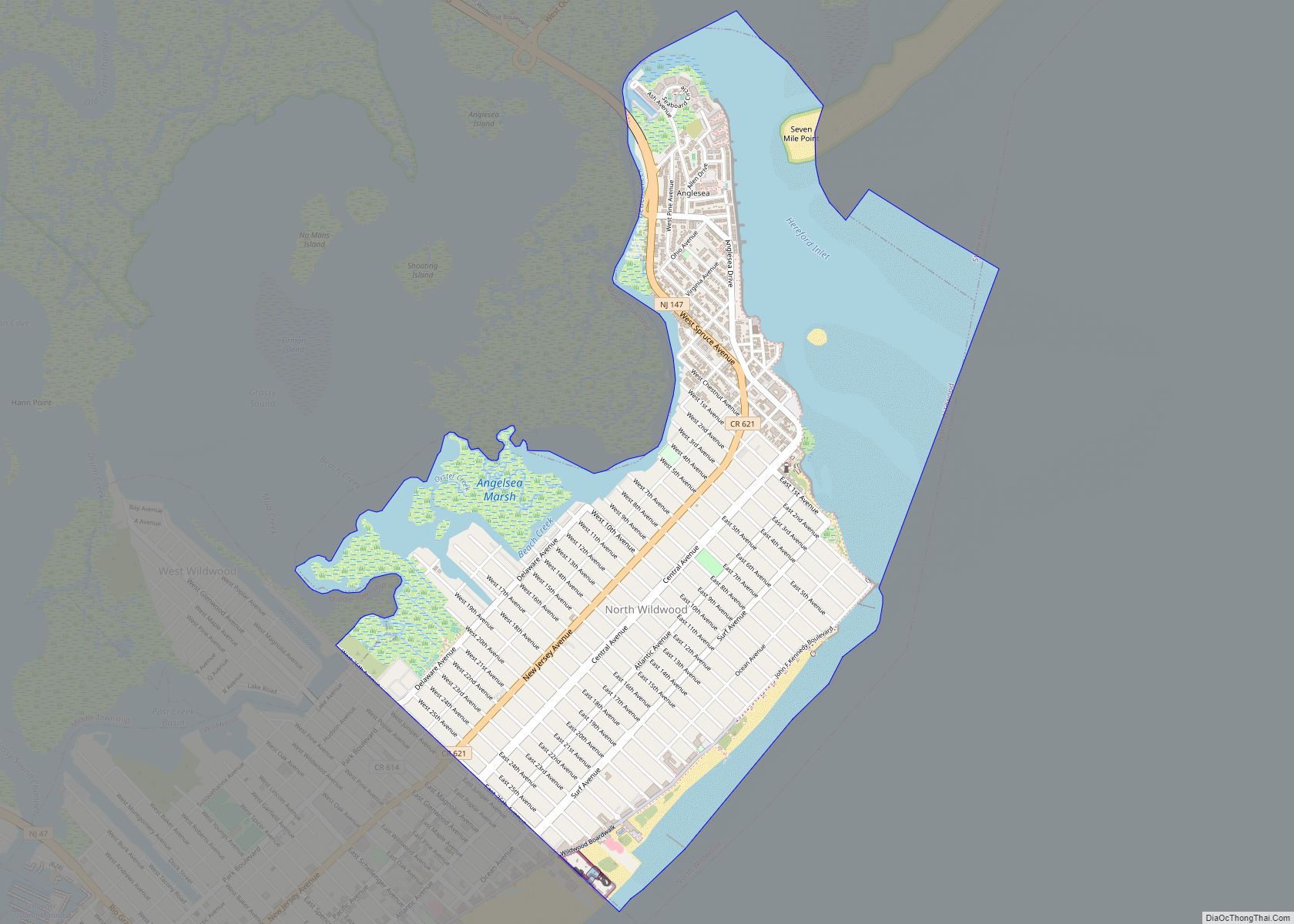
North Wildwood is a city located on the Jersey Shore in Cape May County, in the U.S. state of New Jersey. The city, and all of Cape May County, is part of the Ocean City metropolitan statistical area, and is part of the Philadelphia–Wilmington–Camden, PA-NJ-DE–MD combined statistical area, also known as the Delaware Valley or ... Read more
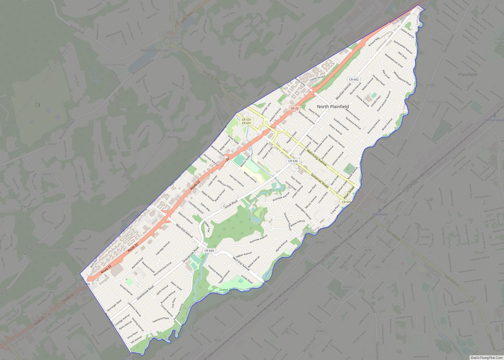
North Plainfield is a borough in Somerset County, in the U.S. state of New Jersey. It is located within the Raritan Valley region. As of the 2020 United States census, the borough’s population was 22,808, an increase of 872 (+4.0%) from the 2010 census count of 21,936, which in turn reflected an increase of 833 ... Read more
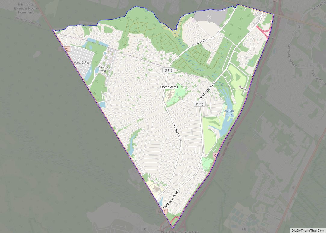
Ocean Acres is an unincorporated community and census-designated place (CDP) split between Barnegat Township and Stafford Township, in Ocean County, New Jersey, United States. As of the 2010 United States Census, the CDP’s population was 16,142, of which 925 were in Barnegat Township and 15,217 were in Stafford Township. Ocean Acres is located in the ... Read more
Oxford is an unincorporated community and census-designated place (CDP) located within Oxford Township in Warren County, New Jersey, United States, that was created as part of the 2010 United States Census. As of the 2010 Census, the CDP’s population was 1,090. Oxford CDP overview: Name: Oxford CDP LSAD Code: 57 LSAD Description: CDP (suffix) State: ... Read more
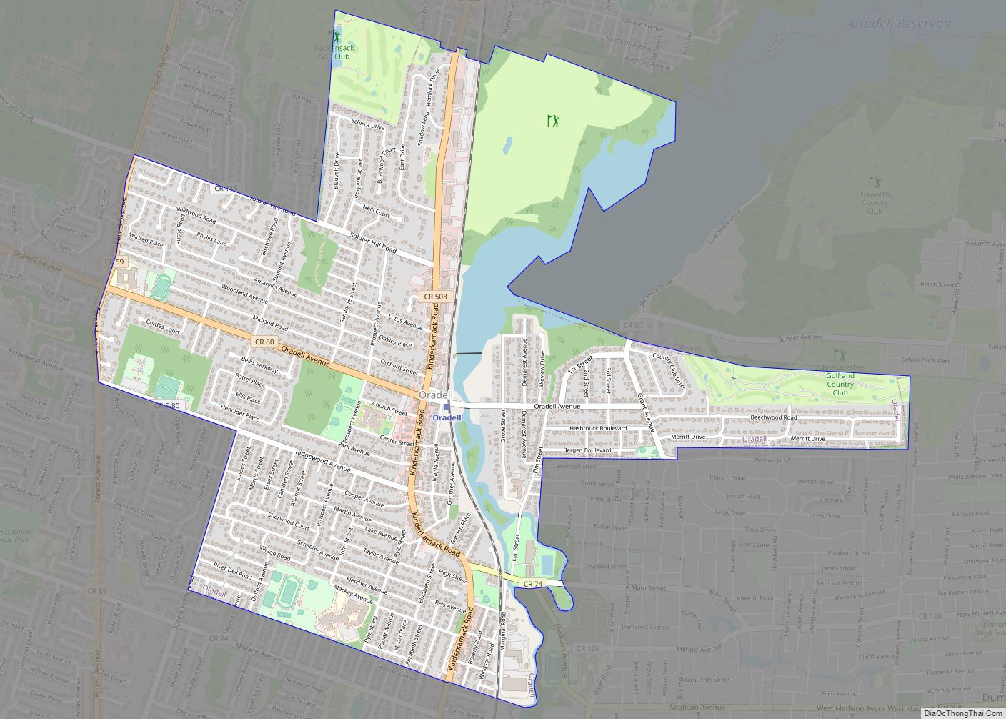
Oradell is a borough in Bergen County, in the U.S. state of New Jersey. As of the 2020 United States census, the borough’s population was 8,244, an increase of 266 (+3.3%) from the 2010 census count of 7,978, which in turn reflected a decline of 69 (-0.9%) from the 8,047 counted in the 2000 census. ... Read more
