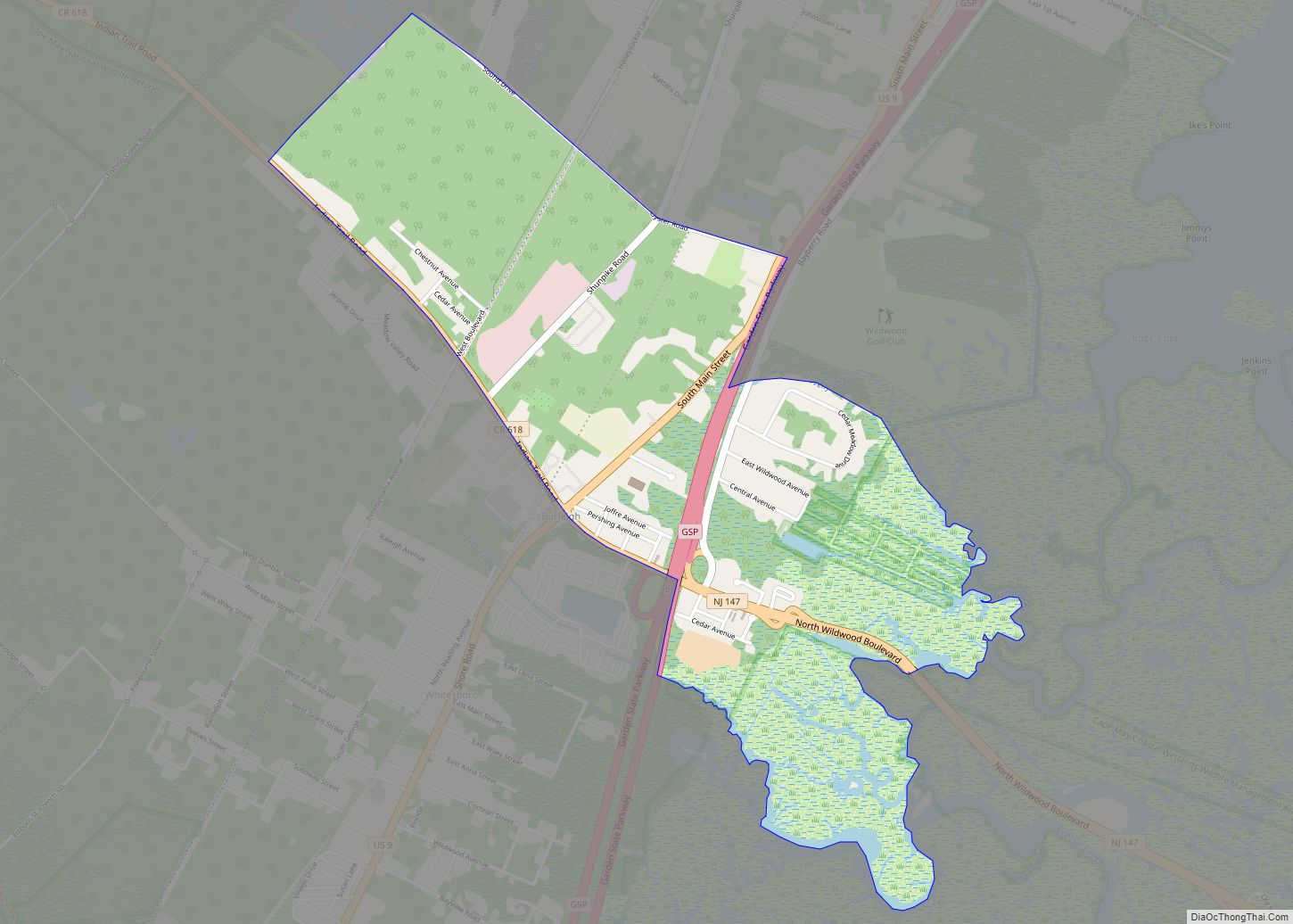
North Wildwood is a city located on the Jersey Shore in Cape May County, in the U.S. state of New Jersey. The city, and all of Cape May County, is part of the Ocean City metropolitan statistical area, and is part of the Philadelphia–Wilmington–Camden, PA-NJ-DE–MD combined statistical area, also known as the Delaware Valley or Philadelphia metropolitan area. As of the 2020 United States census, the city’s population was 3,621, a decrease of 420 (−10.4%) from the 2010 census count of 4,041, which in turn reflected a decline of 894 (−18.1%) from the 4,935 counted in the 2000 census. North Wildwood is home to the Hereford Inlet Lighthouse.
The city’s beaches were ranked the fourth-best in New Jersey in the 2008 Top 10 Beaches Contest sponsored by the New Jersey Marine Sciences Consortium. North Wildwood is one of five municipalities in the state that offer free public access to oceanfront beaches monitored by lifeguards, joining Atlantic City, Wildwood, Wildwood Crest and Upper Township’s Strathmere section.
| Name: | North Wildwood city |
|---|---|
| LSAD Code: | 25 |
| LSAD Description: | city (suffix) |
| State: | New Jersey |
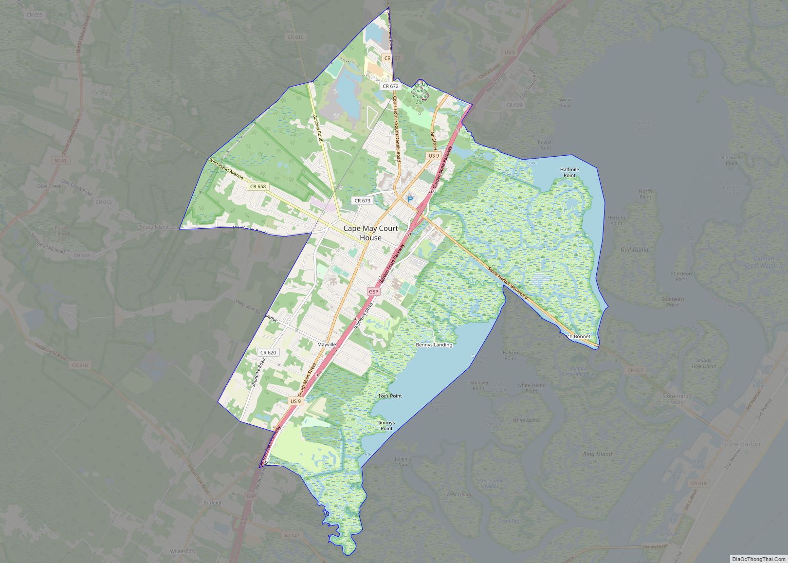
| County: | Cape May County |
| Incorporated: | June 13, 1885 as Borough of Anglesea |
| Elevation: | 3 ft (0.9 m) |
| Total Area: | 2.50 sq mi (6.46 km²) |
| Land Area: | 1.73 sq mi (4.47 km²) |
| Water Area: | 0.77 sq mi (2.00 km²) 30.80% |
| Population Density: | 2,099.0/sq mi (810.4/km²) |
| ZIP code: | 08260 |
| Area code: | 609 |
| FIPS code: | 3453490 |
| GNISfeature ID: | 0885328 |
| Website: | www.northwildwood.com |
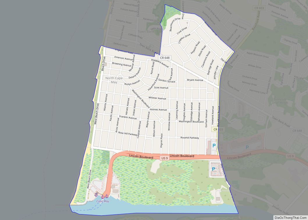
Online Interactive Map
Click on ![]() to view map in "full screen" mode.
to view map in "full screen" mode.
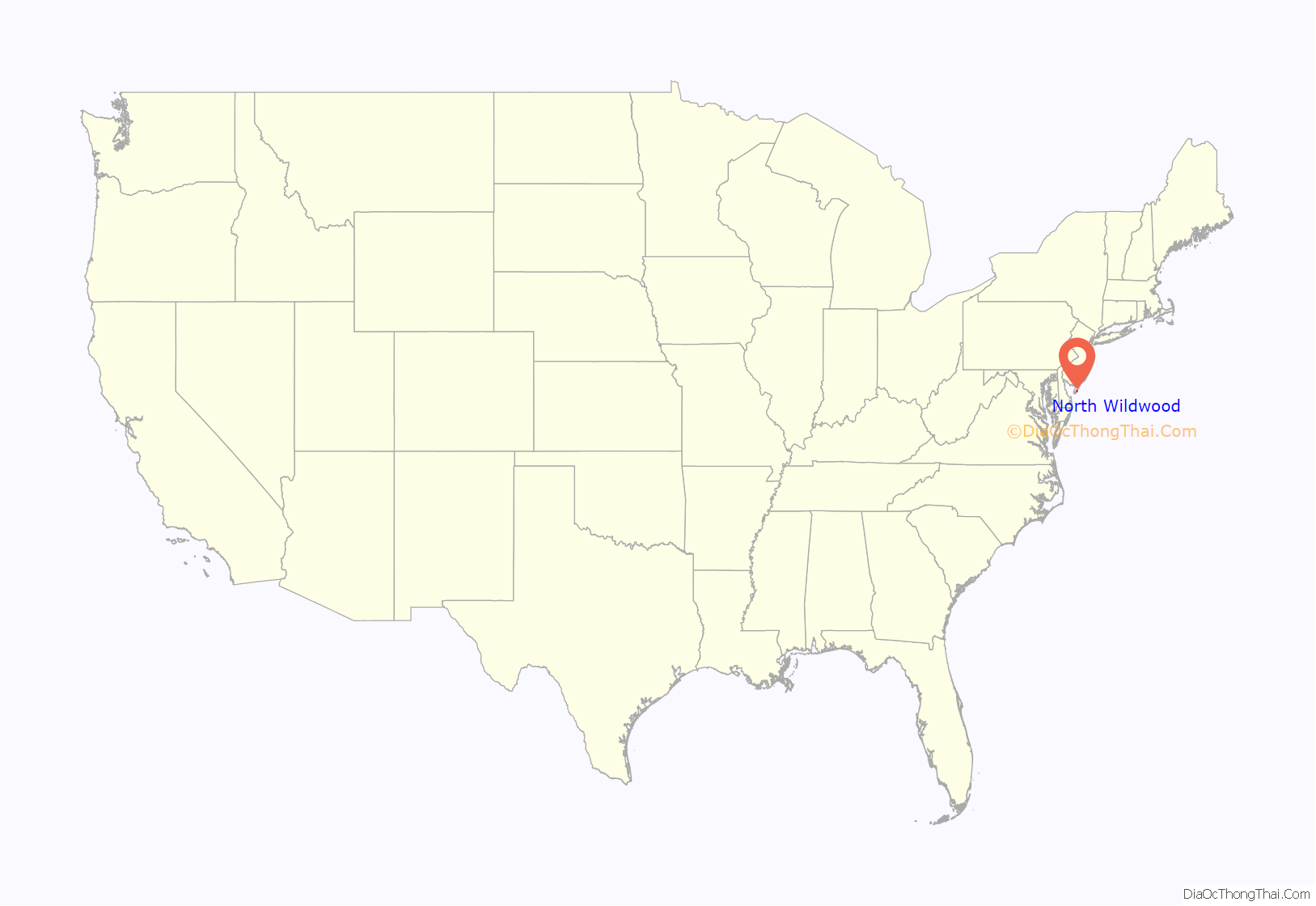
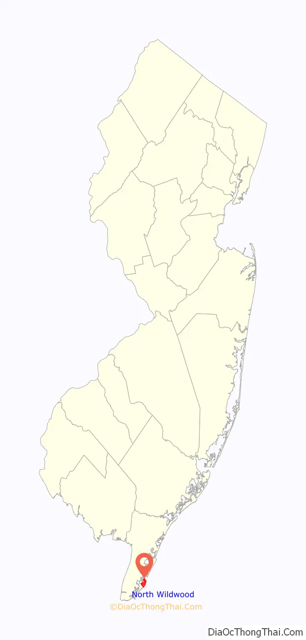
North Wildwood location map. Where is North Wildwood city?
History
What is now North Wildwood City was originally incorporated as the borough of Anglesea on June 13, 1885, from portions of Middle Township, based on the results of a referendum held 11 days earlier. The borough was reincorporated on March 6, 1896, and again on May 4, 1897. On May 16, 1906, the Borough of North Wildwood was incorporated, replacing Anglesea Borough.
Legislation passed in April 1908 established a potential consolidation of North Wildwood and Holly Beach City into Wildwood, subject to approval of referendums in each of the three municipalities, though this merger never took effect.
On April 30, 1917, the area was reincorporated as the City of North Wildwood, in turn replacing North Wildwood borough. The city’s name comes from Wildwood, which in turn was named for the area’s wild flowers.
In November 2016, more than 60% of voters rejected a non-binding referendum that would ask to change the name of the city from North Wildwood to its historic name of Anglesea. Opponents cited the confusion that would be created and the impact on commerce.
North Wildwood Road Map
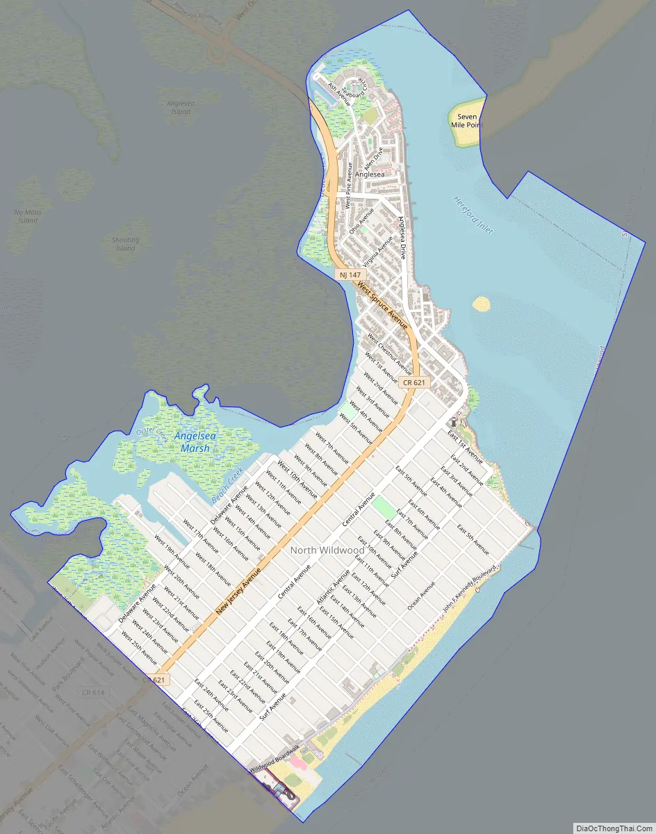
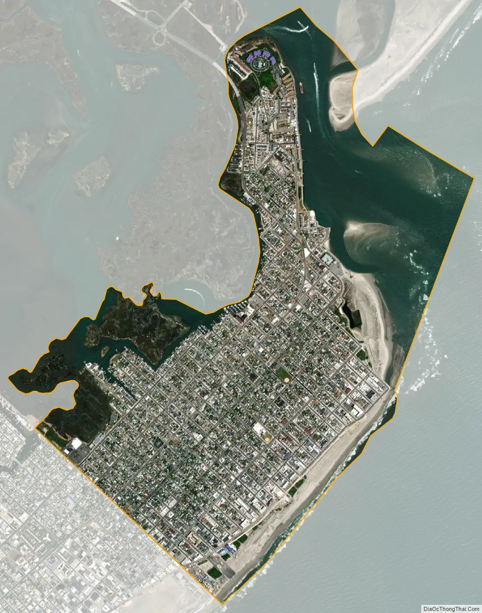
North Wildwood city Satellite Map
Geography
According to the U.S. Census Bureau, the city had a total area of 2.50 square miles (6.46 km), including 1.73 square miles (4.47 km) of land and 0.77 square miles (2.00 km) of water (30.80%).
The borough borders the Cape May County municipalities of Middle Township, Stone Harbor Borough and Wildwood City, as well as the Atlantic Ocean.
See also
Map of New Jersey State and its subdivision: Map of other states:- Alabama
- Alaska
- Arizona
- Arkansas
- California
- Colorado
- Connecticut
- Delaware
- District of Columbia
- Florida
- Georgia
- Hawaii
- Idaho
- Illinois
- Indiana
- Iowa
- Kansas
- Kentucky
- Louisiana
- Maine
- Maryland
- Massachusetts
- Michigan
- Minnesota
- Mississippi
- Missouri
- Montana
- Nebraska
- Nevada
- New Hampshire
- New Jersey
- New Mexico
- New York
- North Carolina
- North Dakota
- Ohio
- Oklahoma
- Oregon
- Pennsylvania
- Rhode Island
- South Carolina
- South Dakota
- Tennessee
- Texas
- Utah
- Vermont
- Virginia
- Washington
- West Virginia
- Wisconsin
- Wyoming