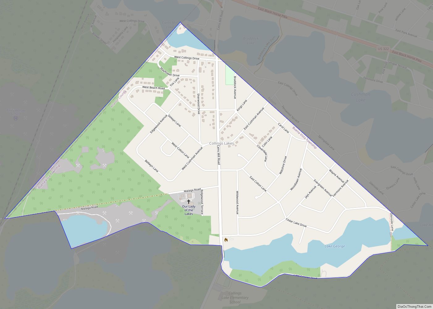
Collings Lakes is an unincorporated community and census-designated place (CDP) located within Buena Vista Township in Atlantic County, New Jersey, United States. As of the 2010 United States Census, the CDP’s population was 1,706. Collings Lakes is not an incorporated municipality, though homes in the neighborhood are subject to certain deed restrictions and to the ... Read more
New Jersey Cities and Places
Clyde is an unincorporated community and census-designated place (CDP) located in Franklin Township, in Somerset County, New Jersey, United States. It was a station stop on the Penna RR’s Millstone Branch. As of the 2010 United States Census, the CDP’s population was 213. Clyde CDP overview: Name: Clyde CDP LSAD Code: 57 LSAD Description: CDP ... Read more
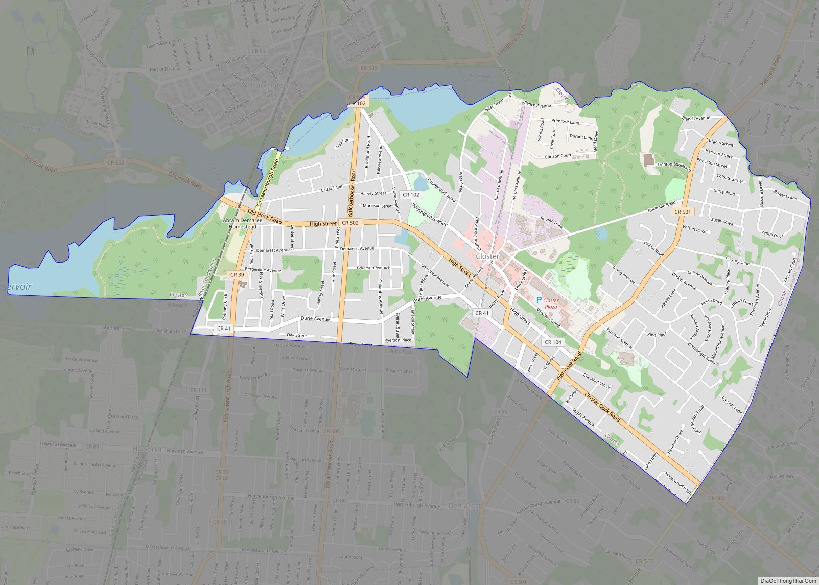
Closter (/ˈkloʊstər/) is a borough in Bergen County, in the U.S. state of New Jersey. As of the 2020 United States census, the borough’s population was 8,594, an increase of 221 (+2.6%) from the 2010 census count of 8,373, which in turn reflected a decline of 10 (−0.1%) from the 8,383 counted in the 2000 ... Read more
Clinton town overview: Name: Clinton town LSAD Code: 43 LSAD Description: town (suffix) State: New Jersey County: Hunterdon County FIPS code: 3413720 Online Interactive Map Clinton online map. Source: Basemap layers from Google Map, Open Street Map (OSM), Arcgisonline, Wmflabs. Boundary Data from Database of Global Administrative Areas. Clinton location map. Where is Clinton town? ... Read more
Clifton is a city in Passaic County, in the U.S. state of New Jersey. Criss-crossed by several major highways, the city is a regional commercial hub for North Jersey and is a bedroom suburb of New York City in the New York Metropolitan Area. As of the 2020 United States Census, the city retained its ... Read more
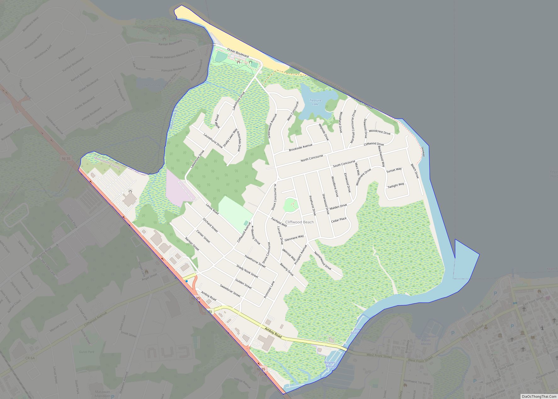
Cliffwood Beach is an unincorporated community and census-designated place (CDP) located within Aberdeen Township in Monmouth County, New Jersey. As of the 2010 U.S. census, the CDP’s population was 3,194. Cliffwood Beach CDP overview: Name: Cliffwood Beach CDP LSAD Code: 57 LSAD Description: CDP (suffix) State: New Jersey County: Monmouth County Elevation: 59 ft (18 m) Total ... Read more
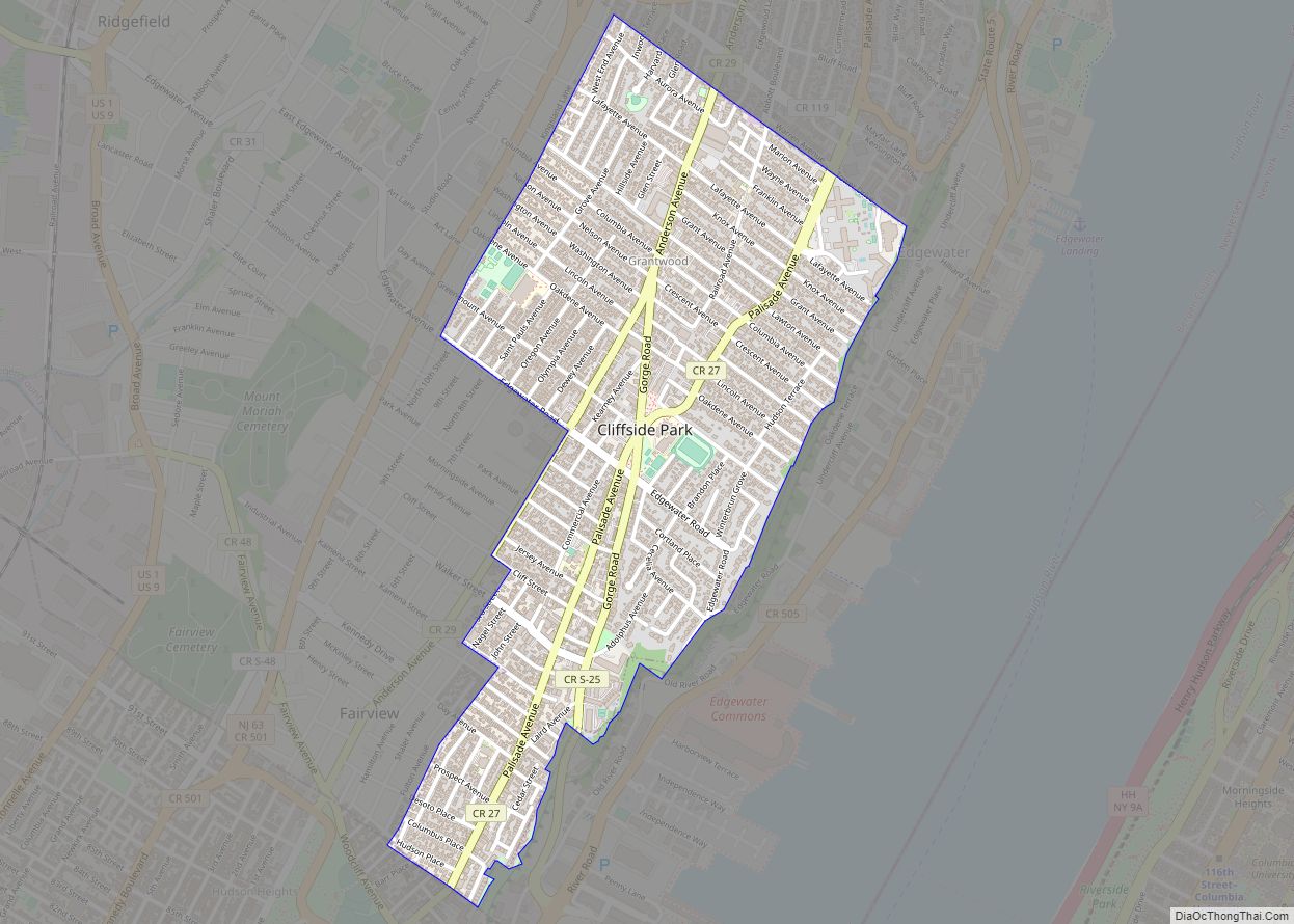
Cliffside Park is a borough in Bergen County, in the U.S. state of New Jersey. As of the 2020 United States census, the borough’s population was 25,693, an increase of 2,099 (+8.9%) from the 2010 census count of 23,594, which in turn reflected an increase of 587 (+2.6%) from the 23,007 counted in the 2000 ... Read more
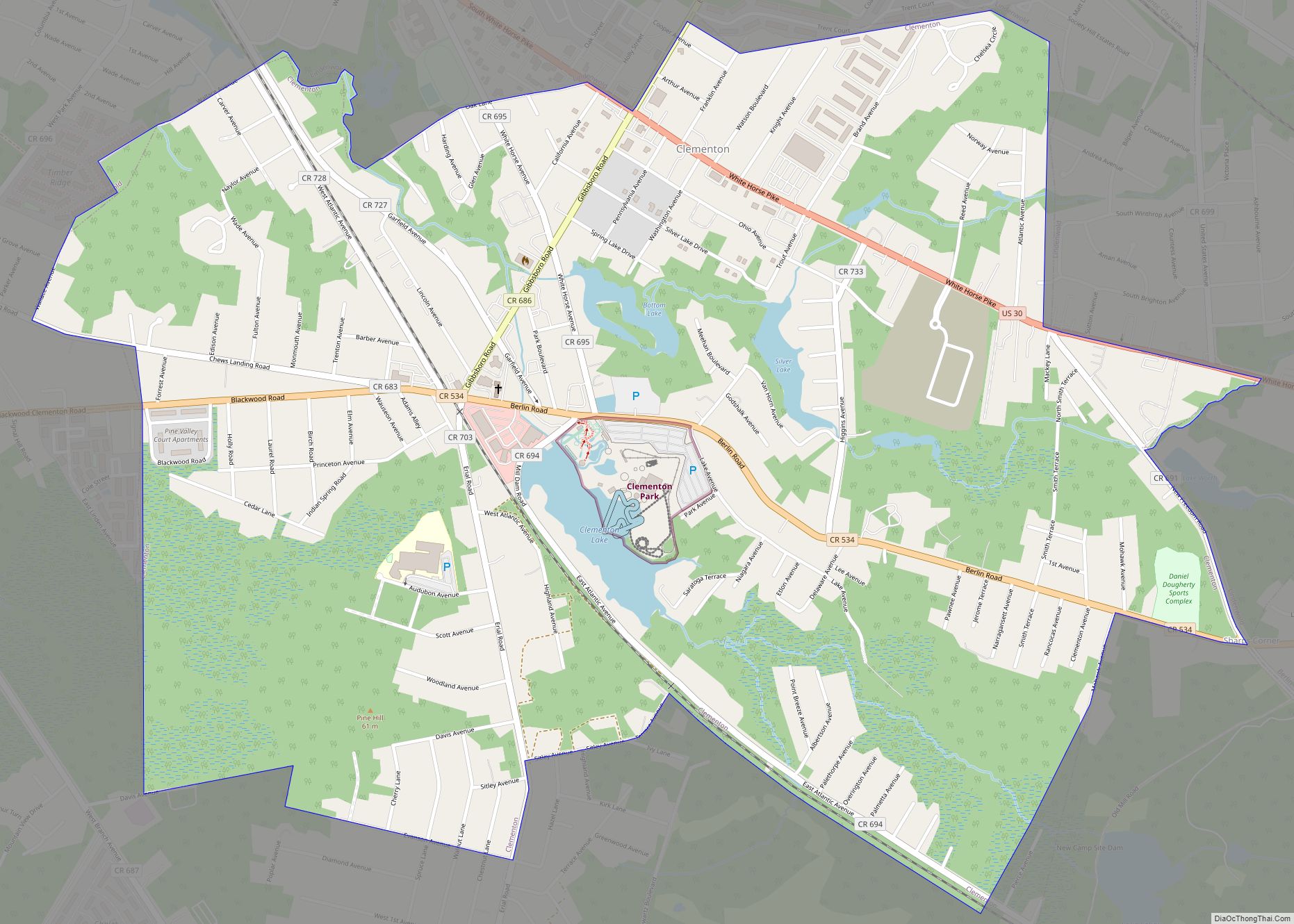
Clementon is a borough in Camden County, in the U.S. state of New Jersey. As of the 2020 United States census, the borough’s population was 5,338, an increase of 338 (+6.8%) from the 2010 census count of 5,000, which in turn reflected an increase of 14 (+0.3%) from the 4,986 counted in the 2000 census. ... Read more
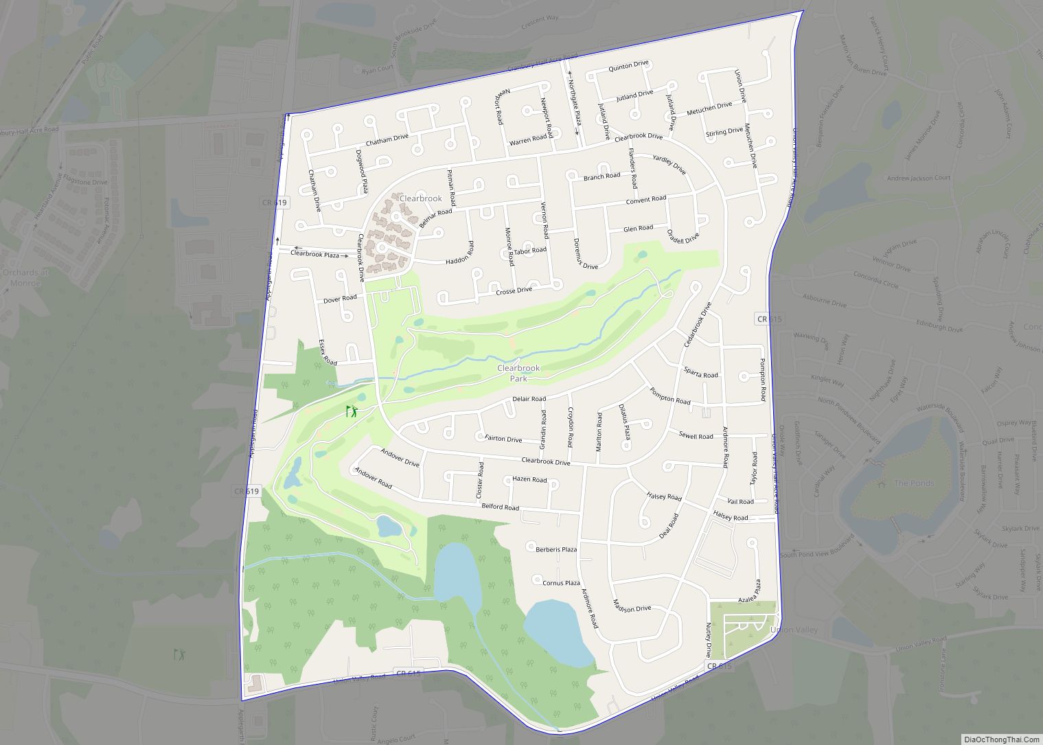
Clearbrook is a gated community and census-designated place (CDP) in Monroe Township, Middlesex County, New Jersey, United States. It is in the western part of the township, bordered to the north by Encore at Monroe and to the east by Concordia and The Ponds. It is 3.5 miles (5.6 km) southwest of Jamesburg and 5 miles ... Read more
Clayton is a borough in Gloucester County in the U.S. state of New Jersey. As of the 2020 United States census, the borough’s population was 8,807, an increase of 628 (+7.7%) from the 2010 census count of 8,179, which in turn reflected an increase of 1,040 (+14.6%) from the 7,139 counted in the 2000 census. ... Read more
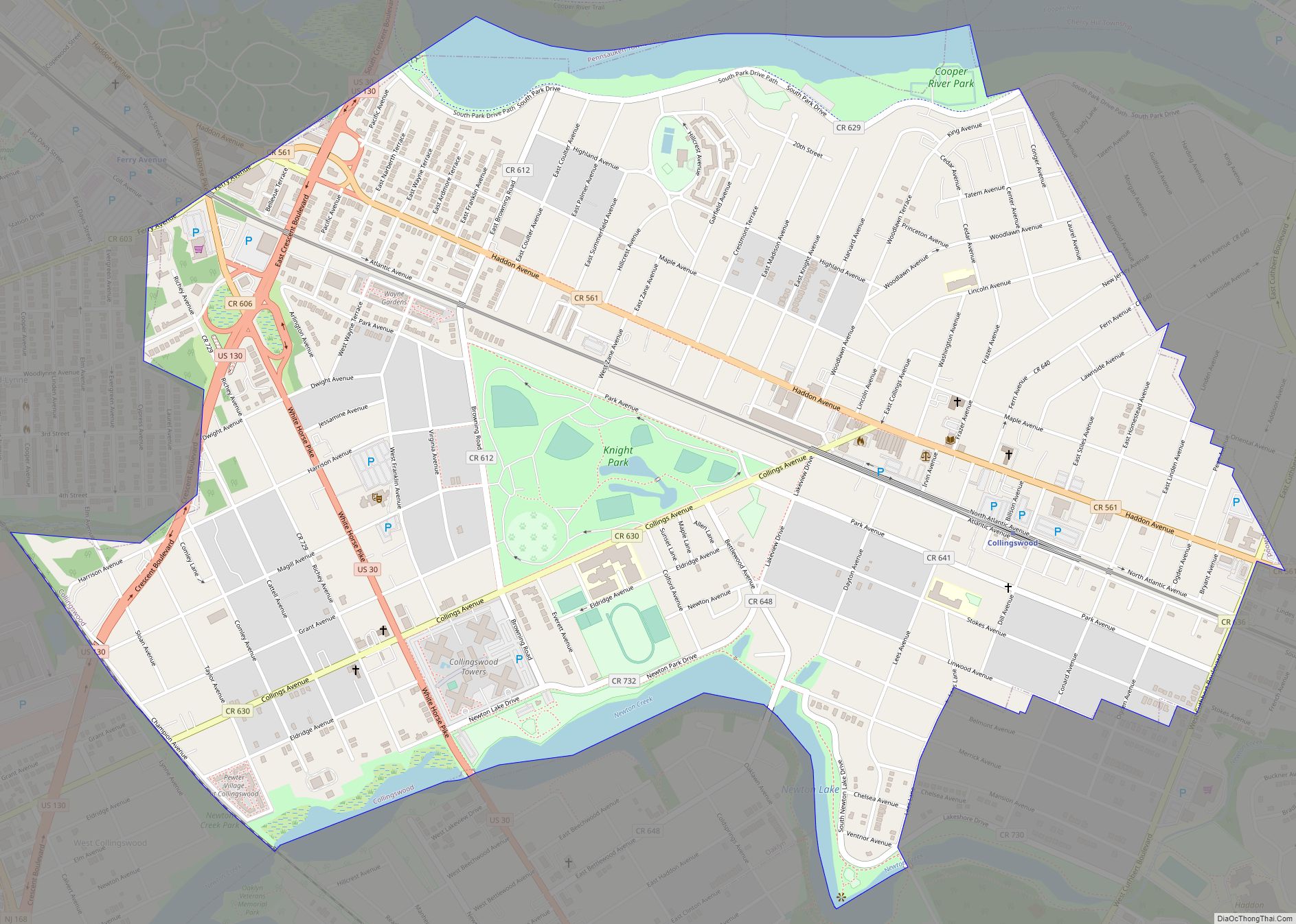
Collingswood is a borough in Camden County, in the U.S. state of New Jersey, located 5 miles (8.0 km) east of Center City Philadelphia. As of the 2020 United States census, the borough’s population was 14,186, an increase of 260 (+1.9%) from the 2010 census count of 13,926, which in turn reflected a decline of 400 ... Read more
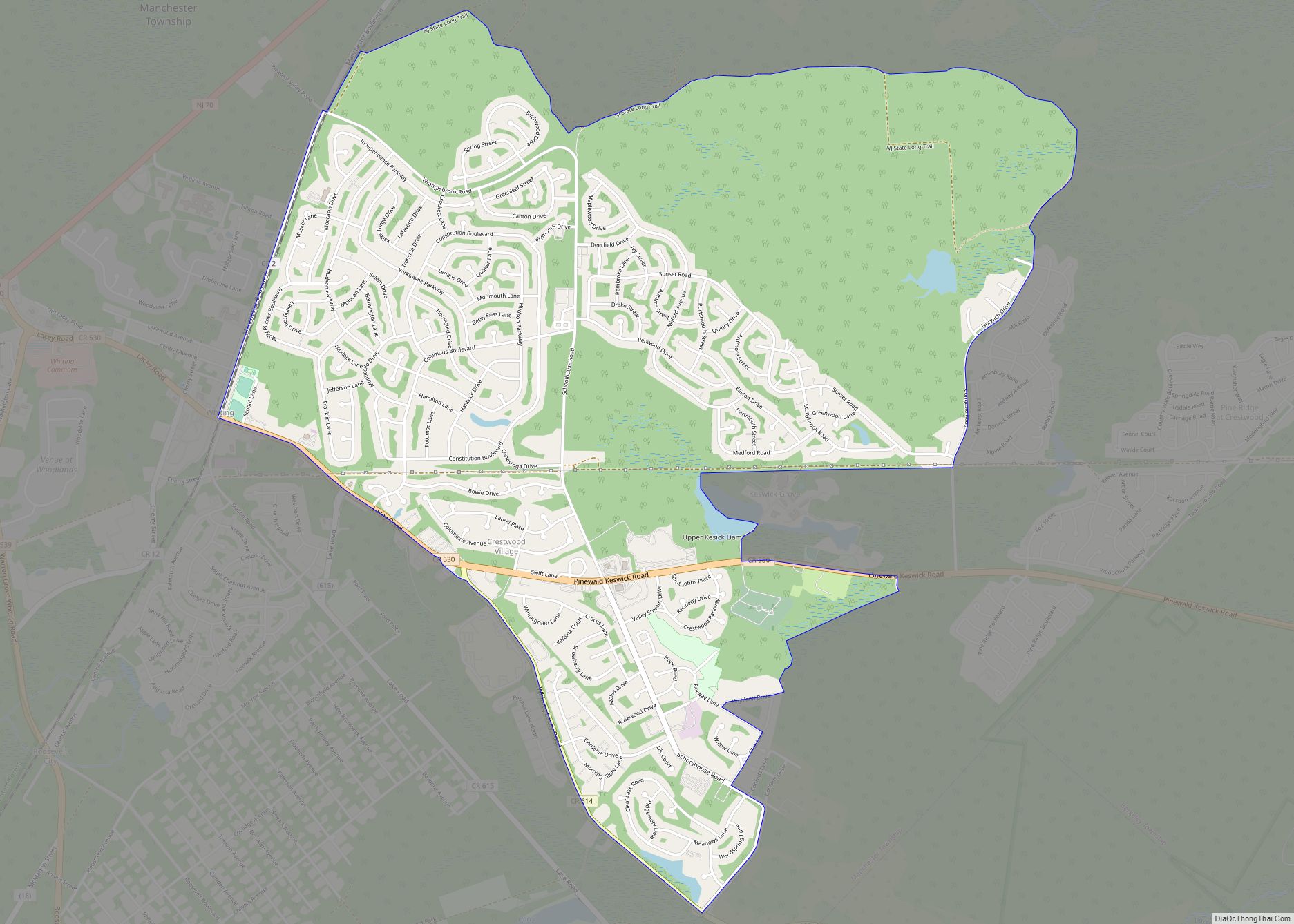
Crestwood Village is an unincorporated community and census-designated place (CDP) located within Manchester Township, in Ocean County, New Jersey, United States. As of the 2010 United States Census, the CDP’s population was 7,907. Crestwood Village CDP overview: Name: Crestwood Village CDP LSAD Code: 57 LSAD Description: CDP (suffix) State: New Jersey County: Ocean County Elevation: ... Read more
