Cliffside Park is a borough in Bergen County, in the U.S. state of New Jersey. As of the 2020 United States census, the borough’s population was 25,693, an increase of 2,099 (+8.9%) from the 2010 census count of 23,594, which in turn reflected an increase of 587 (+2.6%) from the 23,007 counted in the 2000 census.
Cliffside Park was formed based on the results of a referendum held on January 15, 1895, from portions of Ridgefield Township. The borough was formed during the “Boroughitis” phenomenon then sweeping through Bergen County, as of one two boroughs created in 1895 after 26 boroughs were formed in the county in 1894 alone. The borough was named for its location as a “Park by the Cliffs”.
U.S. Senator Frank Lautenberg resided in the borough until his death in 2013. Cliffside Park was home to the former Palisades Amusement Park, part of which was located in adjoining Fort Lee. The 38-acre (15 ha) park operated from 1898 until 1971, remaining one of the most-visited amusement parks in the country until its closure, after which the rides and attractions were removed and the site replaced by high-rise apartment buildings.
| Name: | Cliffside Park borough |
|---|---|
| LSAD Code: | 21 |
| LSAD Description: | borough (suffix) |
| State: | New Jersey |
| County: | Bergen County |
| Incorporated: | January 15, 1895 |
| Elevation: | 253 ft (77 m) |
| Total Area: | 0.96 sq mi (2.48 km²) |
| Land Area: | 0.96 sq mi (2.48 km²) |
| Water Area: | 0.00 sq mi (0.00 km²) 0.00% |
| Total Population: | 25,693 |
| Population Density: | 26,875.5/sq mi (10,376.7/km²) |
| ZIP code: | 07010 |
| Area code: | 201 |
| FIPS code: | 3413570 |
| GNISfeature ID: | 0885187 |
| Website: | www.cliffsideparknj.gov |
Online Interactive Map
Click on ![]() to view map in "full screen" mode.
to view map in "full screen" mode.
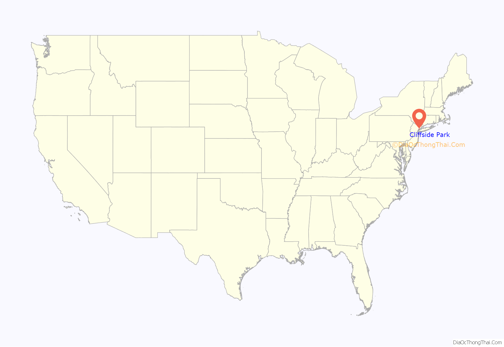
Cliffside Park location map. Where is Cliffside Park borough?
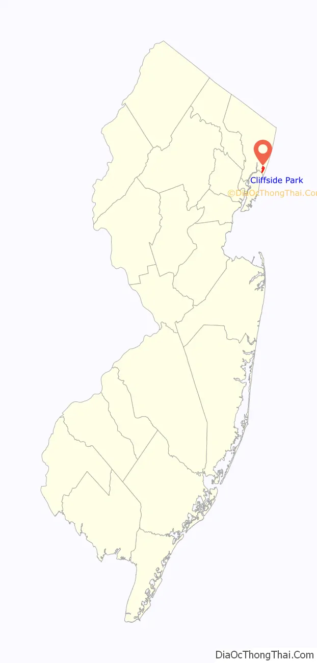
Cliffside Park Road Map
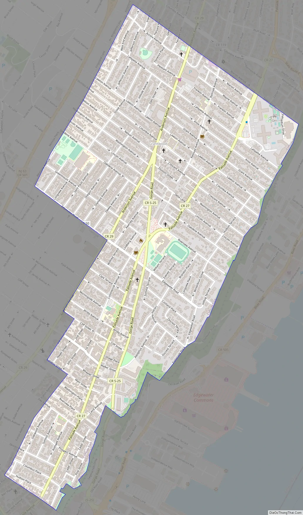
Cliffside Park city Satellite Map

Geography
According to the United States Census Bureau, the borough had a total area of 0.96 square miles (2.48 km), all of which was land. Located atop the Hudson Palisades, Anderson Avenue and Palisade Avenue are the town’s major north–south thoroughfares, the latter offering views of the Hudson River and New York City skyline.
Unincorporated communities, localities and place names located partially or completely within the borough include Grantwood and Shadyside.
The borough borders the municipalities of Edgewater, Fairview, Fort Lee and Ridgefield in Bergen County, as well as North Bergen in Hudson County.
Grantwood is named for Grant’s Tomb, located on the opposite shore of the river. Gorge Road runs along the face of the cliff to the Edgewater waterfront.
See also
Map of New Jersey State and its subdivision: Map of other states:- Alabama
- Alaska
- Arizona
- Arkansas
- California
- Colorado
- Connecticut
- Delaware
- District of Columbia
- Florida
- Georgia
- Hawaii
- Idaho
- Illinois
- Indiana
- Iowa
- Kansas
- Kentucky
- Louisiana
- Maine
- Maryland
- Massachusetts
- Michigan
- Minnesota
- Mississippi
- Missouri
- Montana
- Nebraska
- Nevada
- New Hampshire
- New Jersey
- New Mexico
- New York
- North Carolina
- North Dakota
- Ohio
- Oklahoma
- Oregon
- Pennsylvania
- Rhode Island
- South Carolina
- South Dakota
- Tennessee
- Texas
- Utah
- Vermont
- Virginia
- Washington
- West Virginia
- Wisconsin
- Wyoming


