Clifton is a city in Passaic County, in the U.S. state of New Jersey. Criss-crossed by several major highways, the city is a regional commercial hub for North Jersey and is a bedroom suburb of New York City in the New York Metropolitan Area. As of the 2020 United States Census, the city retained its position as the state’s 11th-most-populous municipality, just behind 2020 #10 Trenton, and well ahead of 2020 #12 Cherry Hill, with a population of 90,296, reflecting an overall increase of 6,160 (+7.3%) from the 2010 Census count of 84,136, which in turn reflected an overall increase of 5,464 (+6.9%) from the 78,672 counted in the 2000 census. The Census Bureau’s Population Estimates Program calculated that the city’s population was 89,367 in 2021, reflecting an overall decrease of 929 (1%) from the 90,296 counted in the 2020 Census, but still ranking the city the 383rd-most-populous in the country.
Clifton was incorporated as a city by an act of the New Jersey Legislature on April 26, 1917, replacing Acquackanonk Township, based on the results of a referendum held two days earlier. Clifton is listed under five different ZIP codes. 07011, 07012, 07013, 07014, and 07015.
| Name: | Clifton city |
|---|---|
| LSAD Code: | 25 |
| LSAD Description: | city (suffix) |
| State: | New Jersey |
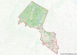
| County: | Passaic County |
| Incorporated: | April 26, 1917 |
| Elevation: | 131 ft (40 m) |
| Total Area: | 11.43 sq mi (29.60 km²) |
| Land Area: | 11.28 sq mi (29.20 km²) |
| Water Area: | 0.15 sq mi (0.40 km²) 1.37% |
| Total Population: | 90,296 |
| Population Density: | 8,008.5/sq mi (3,092.1/km²) |
| Area code: | 973 |
| FIPS code: | 3413690 |
| GNISfeature ID: | 0885188 |
| Website: | www.cliftonnj.org |
Online Interactive Map
Click on ![]() to view map in "full screen" mode.
to view map in "full screen" mode.
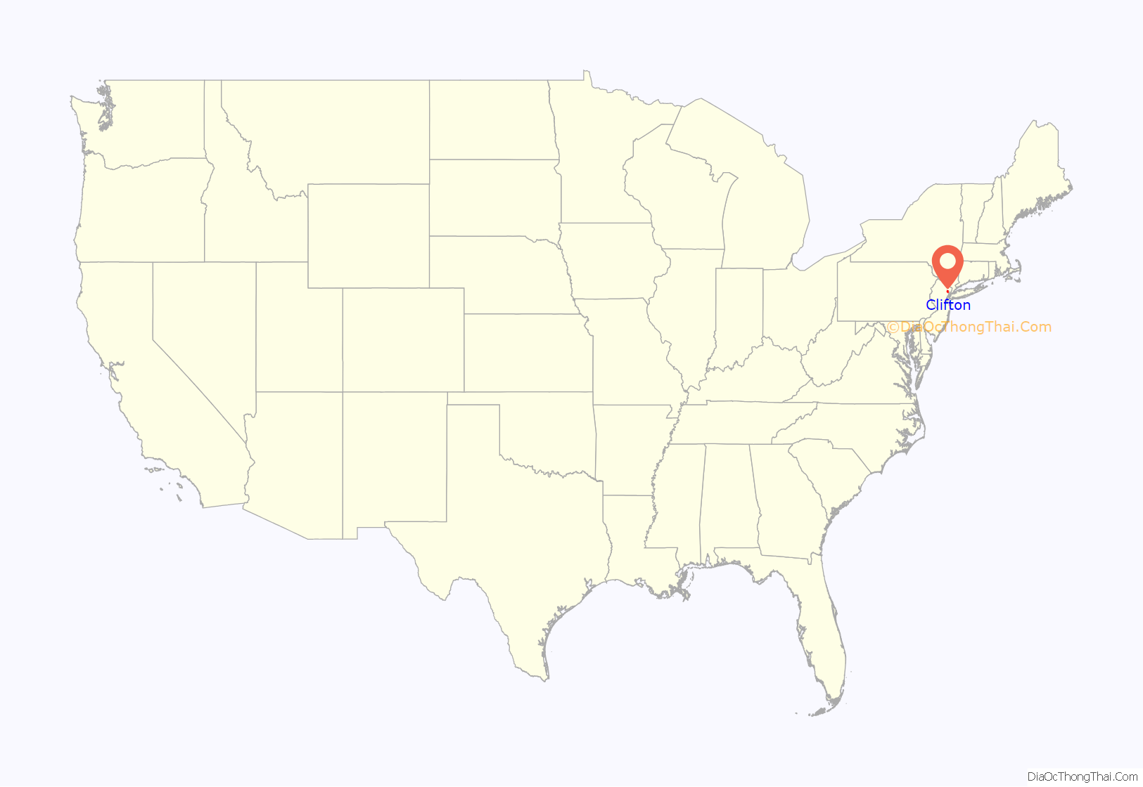
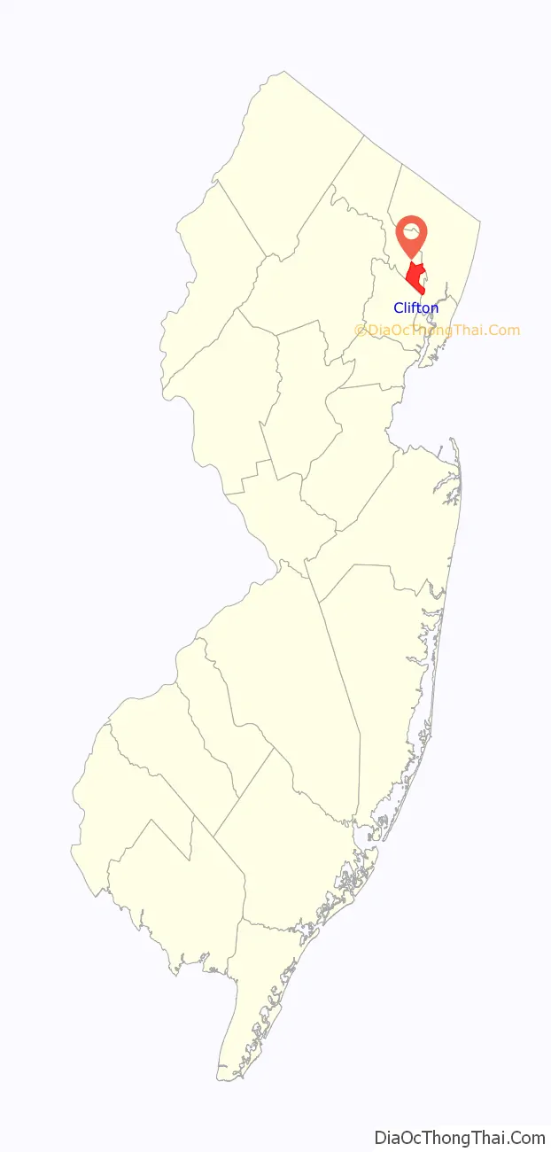
Clifton location map. Where is Clifton city?
History
The city of Clifton turned 100 years old in April 2017, but documented European settlements in the area date back to 1679, when a leader of the Lenape Native Americans gave a deed for 11,000 acres (4,500 ha) along the shores of the Passaic River to Hans Frederick. The modern name of “Clifton” was derived from the cliffs of Garrett Mountain, which borders the Albion Place neighborhood in the western part of the city. Clifton was once an agricultural hub, and home to the U.S. Animal Quarantine Station, which was operated in Clifton by the United States Department of Agriculture, starting in 1903. It was served by the Newark Branch of the Erie-Lackawanna Railroad. It was the primary location on the East Coast where animals from poultry, horses, and cattle, to zoo animals, were held in quarantine after being brought into the United States, to ensure that the animals were not infected with diseases that could be spread in the U.S. The federal station operated in Clifton until the late 1970s, when the facility was relocated to Stewart International Airport.
Although Clifton and surrounding municipalities have long converted from farmlands to suburban communities, given their close proximity to Manhattan (Clifton is less than 15 miles directly west from Midtown), the city still has three small working farms that sell fresh and organic vegetables in-season:
- Ploch’s Farm is a family-run 15-acre (6.1 ha) farm since 1867, until its garden center was replaced by self-storage facilities in 2021.
- City Green Farm Eco Center is an organic farm and 501(c)3 non-profit focused on promoting urban farming and education since 2004.
- Richfield Farms is a family-run 5-acre (2.0 ha) farm and garden center since 1917, which had escaped redevelopment efforts in 2018.
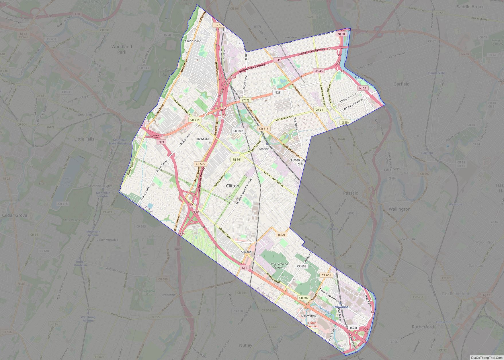
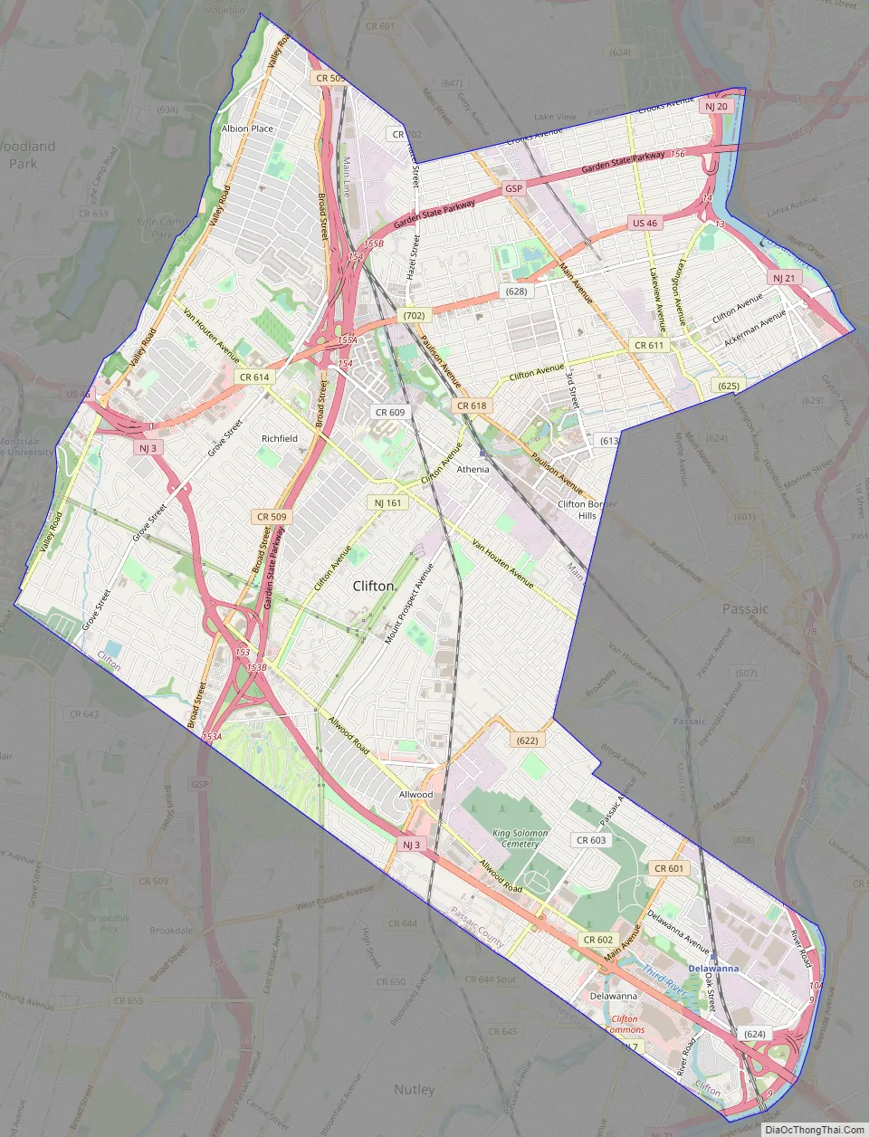
Clifton Road Map
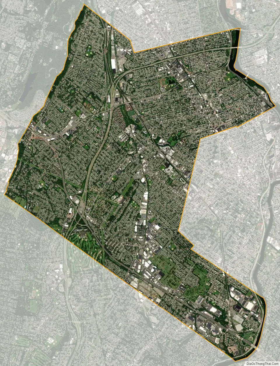
Clifton city Satellite Map
Geography
According to the United States Census Bureau, the city had a total area of 11.43 square miles (29.60 km), including 11.27 square miles (29.19 km) of land and 0.16 square miles (0.41 km) of water (1.37%).
The Passaic River provides part of the boundary of Clifton at its northeastern edge. Weasel Brook is a tributary of the Passaic, which links from Plog Brook, passing through its namesake Weasel Brook Park, before turning south and joining the Passaic River close to Route 21.
Unincorporated communities, localities, and place names, located partially or completely within the city, include:
- Albion Place – mostly residential, and adjacent to Garret Mountain Reservation in the northwestern corner of the city;
- Allwood – the other main “business district” in the city, along its main highway, State Route 3;
- Athenia – one of the more centrally located neighborhoods in the city, as well as home to one of the city’s two train stations, and adjacent to the 3rd Ward Park neighborhood in Passaic;
- Botany Village – the northernmost neighborhood in the city, historically containing European ethnic groups, but mostly populated by Hispanic/Latino immigrants in recent years;
- Delawanna – home to one of the two train stations locally, in the southeastern corner of the city, and adjacent to Nutley/the 3rd Ward Park neighborhood in Passaic;
- Dutch Hill – mostly residential, and largely situated near downtown and one of the two local train stations;
- Lakeview – shares its name with the adjacent neighborhood in Paterson, along the western edge of the city, and mostly populated by Arabic and Hispanic/Latino residents;
- Main Mall – largely considered the main “downtown” section of the city;
- Montclair Heights – one of the wealthiest neighborhoods locally, adjacent to both Montclair State University, as well as Upper Montclair, in the southwestern corner of the city;
- Richfield – another of the more centrally located neighborhoods in the city, along with Athenia;
- Rosemawr – largely residential and wealthier, falling partially within Allwood;
- Styertowne – home to the main namesake shopping plaza in the city;
- Yanticaw Pond – adjacent to the neighboring municipalities of Bloomfield and Nutley
Clifton is located 10 miles (16 km) west of New York City off both Route 3 and Route 46. The city is also served by the Garden State Parkway, Route 19 and Route 21; all of those highways pass either around or through parts of the city.
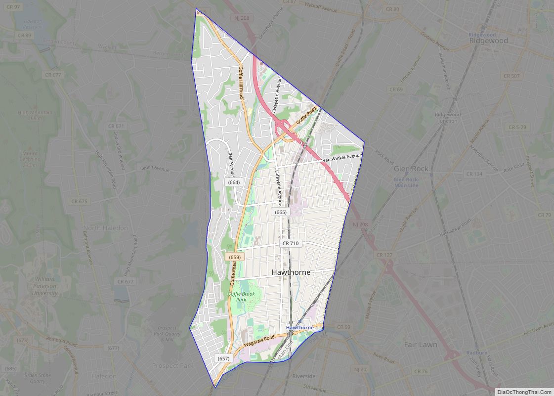
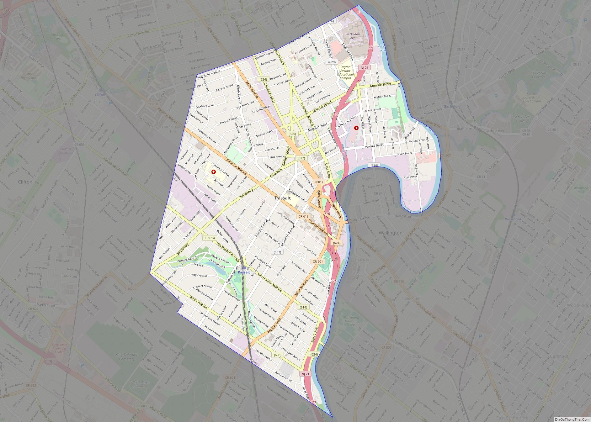
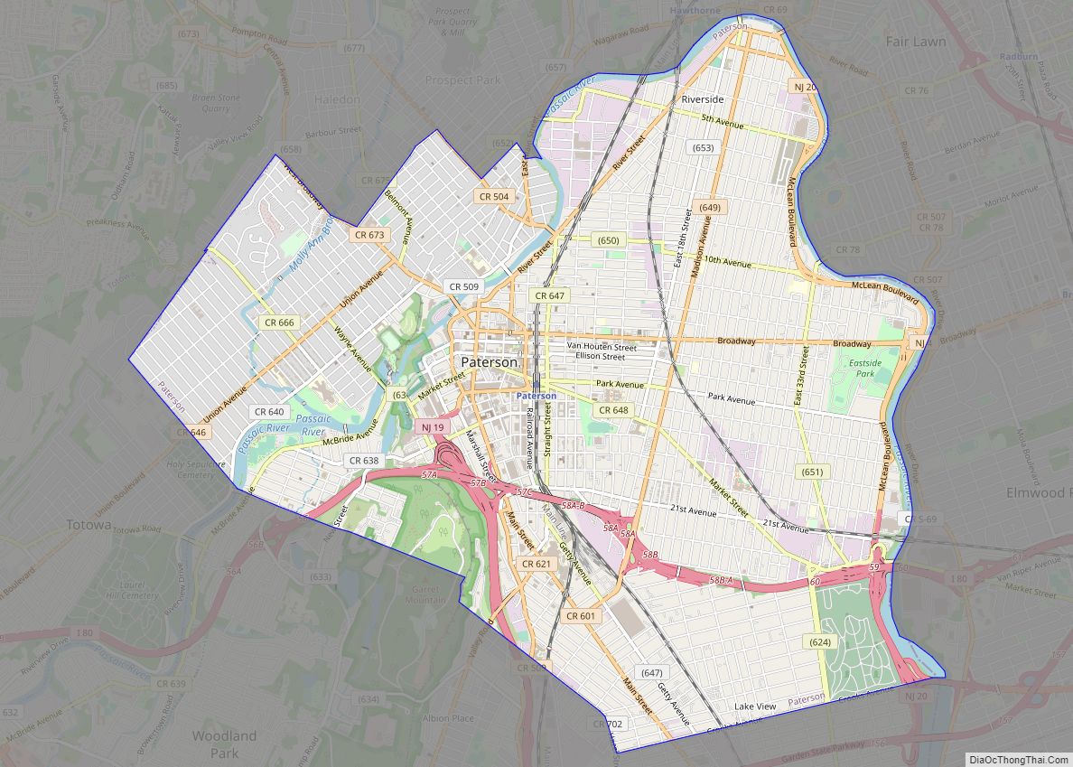
The city borders the municipalities of Little Falls, Passaic, Paterson, and Woodland Park in Passaic County; Elmwood Park, Garfield, Lyndhurst, and Rutherford in Bergen County, and Bloomfield, Montclair, and Nutley in Essex County.
See also
Map of New Jersey State and its subdivision: Map of other states:- Alabama
- Alaska
- Arizona
- Arkansas
- California
- Colorado
- Connecticut
- Delaware
- District of Columbia
- Florida
- Georgia
- Hawaii
- Idaho
- Illinois
- Indiana
- Iowa
- Kansas
- Kentucky
- Louisiana
- Maine
- Maryland
- Massachusetts
- Michigan
- Minnesota
- Mississippi
- Missouri
- Montana
- Nebraska
- Nevada
- New Hampshire
- New Jersey
- New Mexico
- New York
- North Carolina
- North Dakota
- Ohio
- Oklahoma
- Oregon
- Pennsylvania
- Rhode Island
- South Carolina
- South Dakota
- Tennessee
- Texas
- Utah
- Vermont
- Virginia
- Washington
- West Virginia
- Wisconsin
- Wyoming